Old Maps of Driftwood Hills, Indianapolis for Hiking & Exploration
Hike through history with 23 historic maps of Driftwood Hills. Explore old trails, ghost towns, and forgotten backroads — perfect for outdoor adventurers and local explorers.
- Rediscover forgotten places: Map out old mining camps, roads, and footpaths that no longer exist on modern maps.
- Layer with modern tools: Combine with LiDAR or satellite views to plan hikes through historical terrain.
- Made for exploration: Popular among hikers, overlanders, and local history lovers.
Use these maps to find adventure and explore the hidden past of Driftwood Hills.
Driftwood Hills, Indianapolis maps
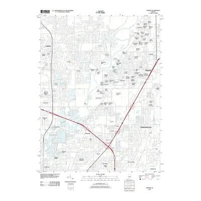
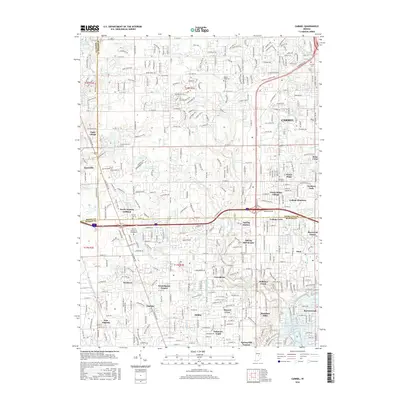
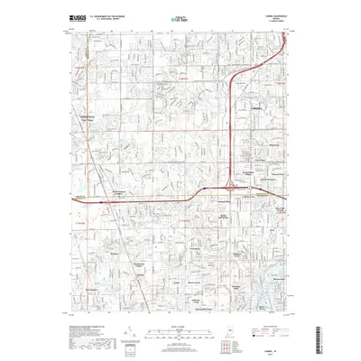
(23)- 1952 Map of Fishers, 1953 Print
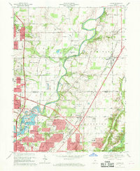
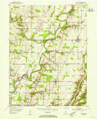 1952 Fishers1953 Print · USGSCentral Indiana in the early fifties shows a patchwork of fertile farmland and growing river towns along the White River. Genealogists and local historians can locate several family cemeteries like Eller Cem and early landmarks including White Chapel and the Township Sch.
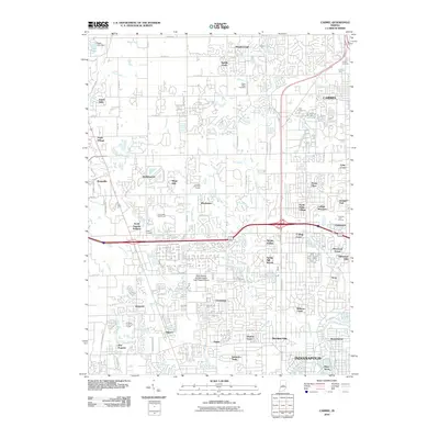
 - 1952 Map of Carmel, 1953 Print
 1952 Carmel1953 Print · USGSNorth of Indianapolis in the early 1950s, the landscape was a mix of quiet rural townships and new suburban communities. Genealogists can trace early homesteads near Eagle Village or locate historic markers like Poplar Ridge Cem and Clay Center Sch.
 - 1953 Map of Indianapolis, 1965 Print
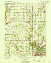
 1953 Indianapolis1965 Print · USGSCentral Indiana and the Illinois borderlands are captured in the mid-sixties, showing the growth of Indianapolis and its industrial rail corridors. Genealogists and historians can trace the development of outlying towns like Zionsville or Beech Grove and find landmarks such as Atterbury AAF and Turkey Run State Park.4 unique versions available
 - 1956 Map of Indianapolis
 1956 Indianapolis1956 Print · USGSCentral Indiana in the mid-fifties is captured during a period of industrial growth and military presence. Genealogists and historians can trace the rail networks of the New York Central or locate regional landmarks like Fort Benjamin Harrison and Camp Atterbury.
 - 1957 Map of Indianapolis
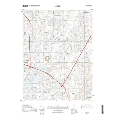
 1957 Indianapolis1957 Print · USGSCentral Indiana in the mid-fifties is captured here as a crossroads of major rail lines and nascent federal highways. Genealogists and historians can trace family-named ridges like Poplar Ridge or locate strategic sites like Camp Atterbury and Speedway.2 unique versions available
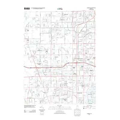
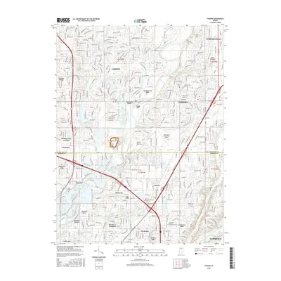
 - 1959 Map of Carmel, 1960 Print
 1959 Carmel1960 Print · USGSThe northern fringes of Indianapolis were rapidly transforming in the late fifties as subdivisions began to edge into the surrounding farmland. You can trace early neighborhood developments like Home Place and Meridian Hills alongside the Monon Railroad and the White River.
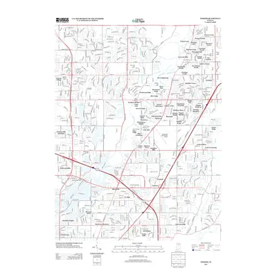
 - 1959 Map of Fishers, 1960 Print
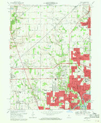
 1959 Fishers1960 Print · USGSSuburban Indianapolis and rural Hamilton County meet here in the late fifties as residential growth begins to reshape the landscape. Genealogists and historians can trace the foundations of Fishers and New Britton or locate old burial grounds like Heady Cem.2 unique versions available
 - 1962 Map of Indianapolis
 1962 Indianapolis1962 Print · USGSCentral Indiana and the Illinois borderlands are captured here in the early sixties, showing the region's dense rail networks and growing urban centers. Genealogists and historians can locate family-named landmarks and institutions like Crown Hill Cem, Indiana University, and the Indianapolis Motor Speedway.
 - 1967 Map of Fishers, 1969 Print
 1967 Fishers1969 Print · USGSNortheast of Indianapolis in the late sixties, this area shows the early pulse of suburban expansion along the White River. Genealogists and local historians can trace the foundations of Fishers, locate the Farley Cem, and see the early layout of New Britton and Allisonville.5 unique versions available
 - 1967 Map of Carmel, 1969 Print
 1967 Carmel1969 Print · USGSThe northern Indianapolis suburbs were rapidly expanding in the late sixties as new subdivisions began to replace farmland. Genealogists and historians can trace family locations near Eagle Village and Home Place, or locate early schools like Nora School and College Wood School.4 unique versions available
 - 1986 Map of Indianapolis
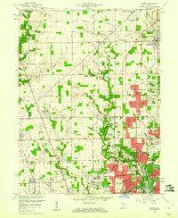
 1986 Indianapolis1986 Print · USGSThe Indiana capital and its surrounding counties are captured here in the mid-1980s, showcasing the height of its orbital highway development and suburban growth. Researchers can trace the legacy of the Fort Benjamin Harrison Military Reservation, follow the Conrail lines, or locate family roots in Beech Grove, Greencastle, and Zionsville.2 unique versions available
 - 1998 Map of Fishers, 2000 Print
 1998 Fishers2000 Print · USGSThe northern edge of the Indianapolis metro area is shown here in the late nineties as residential growth transforms the White River valley. Genealogists and local historians can locate legacy sites like New Britton, White Chapel, and the historic Heady Cem alongside modern landmarks.
 - 1998 Map of Carmel, 2002 Print
 1998 Carmel2002 Print · USGSThe northern edge of Indianapolis meets Carmel during a period of rapid suburban growth in the late nineties. Genealogists and local historians can trace residential developments like Home Place alongside landmarks such as Eagle Village and Our Lady of Mt Carmel Sch.
 - 2010 Map of Fishers, 2010 Print
 2010 Fishers2010 Print · USGSCovers Driftwood Hills, including Indianapolis, Carmel, and other nearby areas
 - 2010 Map of Carmel, 2010 Print
 2010 Carmel2010 Print · USGSCovers Driftwood Hills, including Indianapolis, Carmel, and other nearby areas
 - 2013 Map of Carmel, 2013 Print
 2013 Carmel2013 Print · USGSCovers Driftwood Hills, including Indianapolis, Carmel, and other nearby areas
 - 2013 Map of Fishers, 2013 Print
 2013 Fishers2013 Print · USGSCovers Driftwood Hills, including Indianapolis, Carmel, and other nearby areas
 - 2016 Map of Carmel, 2016 Print
 2016 Carmel2016 Print · USGSCovers Driftwood Hills, including Indianapolis, Carmel, and other nearby areas
 - 2016 Map of Fishers, 2016 Print
 2016 Fishers2016 Print · USGSCovers Driftwood Hills, including Indianapolis, Carmel, and other nearby areas
 - 2019 Map of Fishers, 2019 Print
 2019 Fishers2019 Print · USGSCovers Driftwood Hills, including Indianapolis, Carmel, and other nearby areas
 - 2019 Map of Carmel, 2019 Print
 2019 Carmel2019 Print · USGSCovers Driftwood Hills, including Indianapolis, Carmel, and other nearby areas
 - 2022 Map of Carmel, 2022 Print
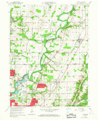
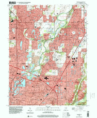
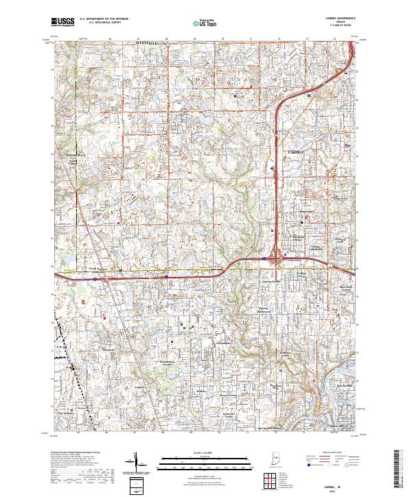 2022 Carmel2022 Print · USGSThe northern suburbs of Indianapolis are captured in a period of intense growth as agricultural land gives way to dense residential planning. Local historians can trace the paths of Little Eagle Creek and the Monon Rail Trl past landmarks like Poplar Ridge Cem and Eagle Village.
 - 2023 Map of Fishers, 2023 Print
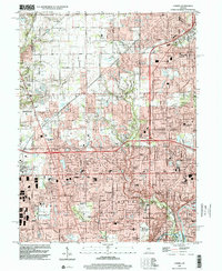
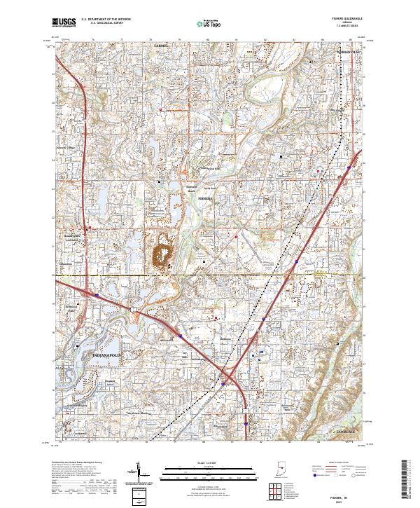 2023 Fishers2023 Print · USGSThe northern suburbs of Indianapolis are captured in this modern survey during a period of intense growth. Local researchers can trace the suburban evolution of Fishers and Carmel, identifying landmarks like Oaklawn Memorial Gardens Cem and the Indianapolis Metropolitan Airport.
End of results
Showing maps 1-23 of 23
Frequently asked questions
- What are the different types of historical maps available for Driftwood Hills?
- What is the oldest map of Driftwood Hills?
- Where can I purchase historical maps of Driftwood Hills for my home or office?
- Where can I download high-res historical maps of Driftwood Hills?
- Are there historical topographic maps available for Driftwood Hills?
- Is there historical aerial imagery available for Driftwood Hills?
- Where are historical maps of Driftwood Hills sourced from?