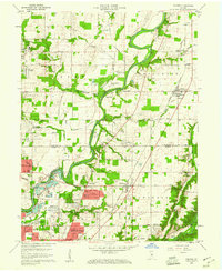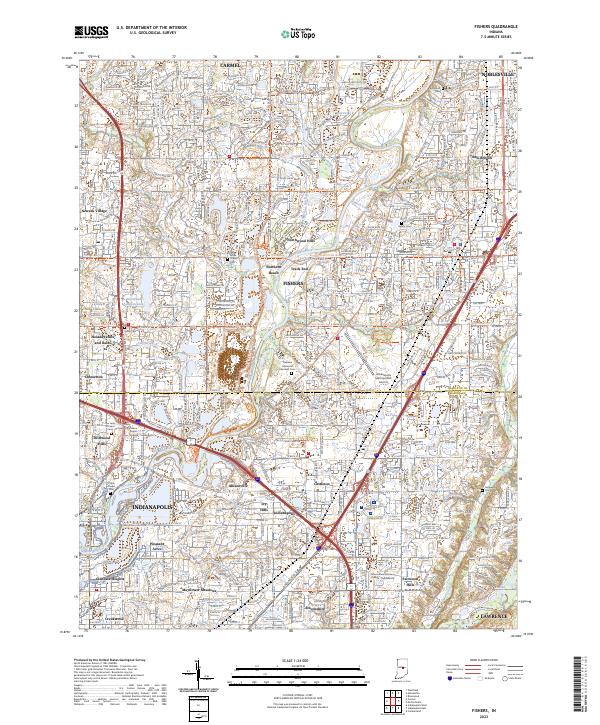
1952 Map of Fishers
USGS Topo · Published 1953About this map
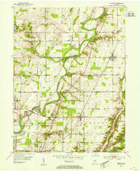
The White River carves a winding path through the heart of this landscape, marking the transition between Hamilton Co and Marion Co. Small agricultural hubs and early suburban centers like Carmel, Fishers, and New Britton are connected by a growing grid of arterial roads including East 116th Street and East 96th Street. Local history is deeply etched into the terrain through scattered landmarks such as White Chapel, Union Chapel, and several family burial grounds like Heady Cem and Farley Cem.
Find a feature on this map
47 named features on this map. Tap any name to fly to it.
Don’t see what you’re looking for? This feature index may not catch every label — zoom into the map to look around manually.
Map Details
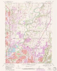
Editions of this 1952 Fishers Map
This is the sole edition of this map. No revisions or reprints were ever made.
Historical Maps of Indianapolis Through Time
9 maps found