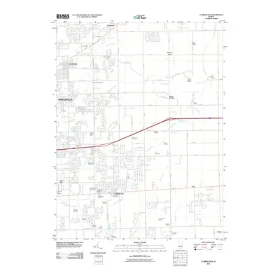
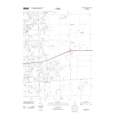
Loading...
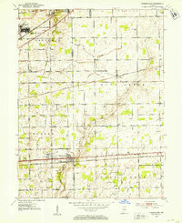
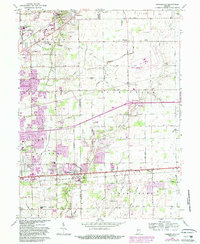
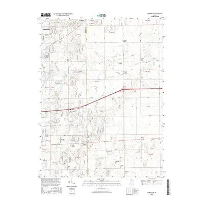
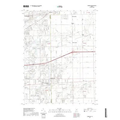
Loading map...1952 Map of Cumberland
USGS Topo · Published 1953About this map
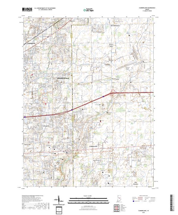
The Fort Benjamin Harrison military reservation and the adjacent Billings Veterans Administration Hospital dominate the northwestern corner of this landscape along the Marion and Hancock County line. To the east, the terrain is defined by a dense network of family cemeteries and local drainage projects, such as Stansbury Ditch and Dunn Ditch, which support the agricultural tracts between the settlements of Oaklandon and Mount Comfort.
Find a feature on this map
69 named features on this map. Tap any name to fly to it.
Don’t see what you’re looking for? This feature index may not catch every label — zoom into the map to look around manually.
Map Details
Date Portrayed1952
Date Published1953
PublisherU.S. Geological Survey
Map TypeTopographic
Scale1:24,000
Physical Dimensions22 x 26.9 inches
Editions of this 1952 Cumberland Map
This is the sole edition of this map. No revisions or reprints were ever made.
Historical Maps of Indianapolis Through Time
7 maps found
Featured Locations
Source Details
SourceU.S. Geological Survey
CopyrightPublic Domain