Loading...
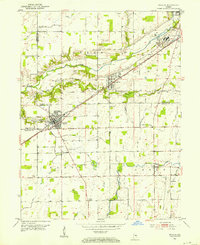
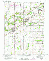
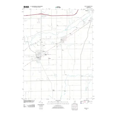
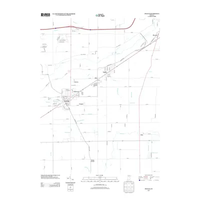
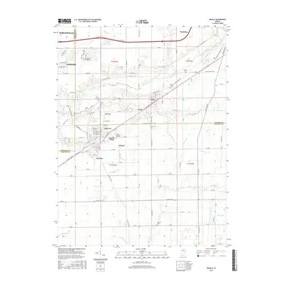
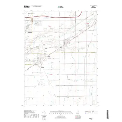
Loading map...1952 Map of Ingalls
USGS Topo · Published 1953About this map
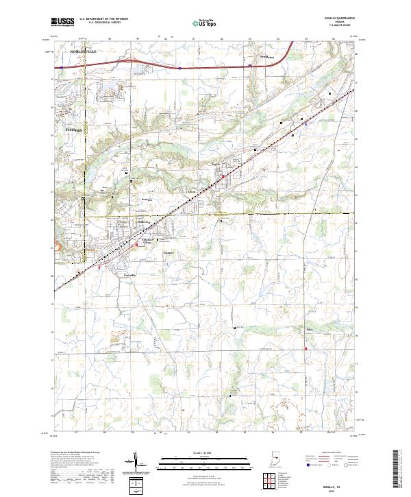
Fall Creek winds through this central Indiana landscape, defining the corridor between the expanding communities of Pendleton and Fortville during the early 1950s. The region is heavily influenced by the presence of the State Reformatory in the northeast and the industrial activity of the New York Central railroad, which bisects the quadrangle as it connects the small town of Ingalls to the wider trade network.
Find a feature on this map
46 named features on this map. Tap any name to fly to it.
Don’t see what you’re looking for? This feature index may not catch every label — zoom into the map to look around manually.
Map Details
Date Portrayed1952
Date Published1953
PublisherU.S. Geological Survey
Map TypeTopographic
Scale1:24,000
Physical Dimensions22 x 26.9 inches
Editions of this 1952 Ingalls Map
This is the sole edition of this map. No revisions or reprints were ever made.
Historical Maps of Fishers Through Time
7 maps found
Featured Locations
Source Details
SourceU.S. Geological Survey
CopyrightPublic Domain