2000s (21st Century) Maps of Speedway, Indianapolis
Explore 10 historic maps of Speedway from the 2000s (21st Century). These maps offer a rare glimpse into what life looked like during the 2000s — showing old roads, neighborhoods, homes, and landmarks that have changed or disappeared over time.
Whether you're researching your family's past, planning a metal detecting trip, or studying how Speedway's landscape evolved across the 2000s, these high-resolution maps are a powerful tool for exploring the history of this region.
- Focus on a specific era: All maps on this page are from the 2000s, giving you a focused view of this time period.
- See what’s changed: Compare century-old streets, trails, and buildings to today's modern landscape using overlays and satellite layers.
- Research with precision: Use these maps for genealogy, historical research, land use analysis, or educational projects.
- View, download, or print: Maps are fully viewable online in high resolution, and can be downloaded or printed for your own records.
Start exploring Speedway's history through authentic maps from the 2000s. This is your window into the past.
Speedway, Indianapolis maps
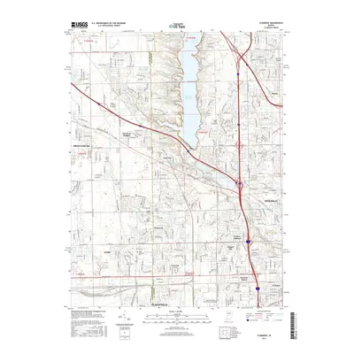
(10)- 2010 Map of Clermont, 2010 Print
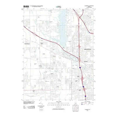 2010 Clermont2010 Print · USGSCovers Speedway, including Indianapolis, Plainfield, and other nearby areas
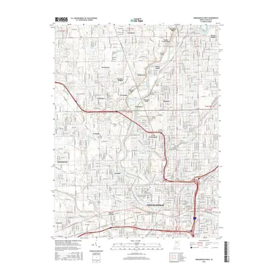
 - 2010 Map of Indianapolis West, 2010 Print
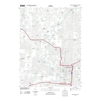 2010 Indianapolis West2010 Print · USGSCovers Speedway, including Indianapolis, Meridian Hills, and other nearby areas
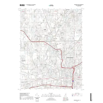
 - 2013 Map of Indianapolis West, 2013 Print
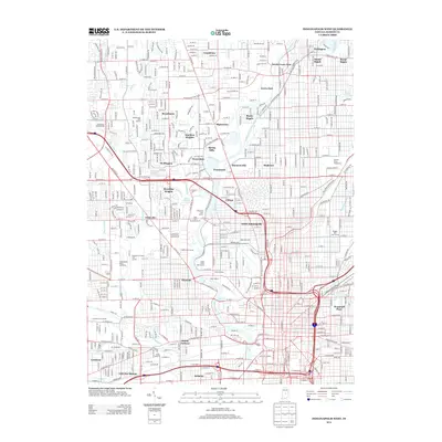 2013 Indianapolis West2013 Print · USGSCovers Speedway, including Indianapolis, Meridian Hills, and other nearby areas
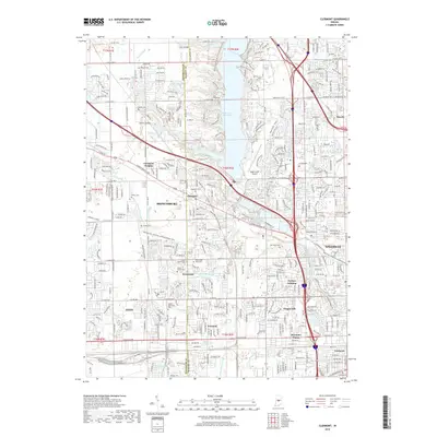
 - 2013 Map of Clermont, 2013 Print
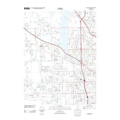 2013 Clermont2013 Print · USGSCovers Speedway, including Indianapolis, Plainfield, and other nearby areas
 - 2016 Map of Indianapolis West, 2016 Print
 2016 Indianapolis West2016 Print · USGSCovers Speedway, including Indianapolis, Meridian Hills, and other nearby areas
 - 2016 Map of Clermont, 2016 Print
 2016 Clermont2016 Print · USGSCovers Speedway, including Indianapolis, Plainfield, and other nearby areas
 - 2019 Map of Clermont, 2019 Print
 2019 Clermont2019 Print · USGSCovers Speedway, including Indianapolis, Plainfield, and other nearby areas
 - 2019 Map of Indianapolis West, 2019 Print
 2019 Indianapolis West2019 Print · USGSCovers Speedway, including Indianapolis, Meridian Hills, and other nearby areas
 - 2022 Map of Clermont, 2022 Print
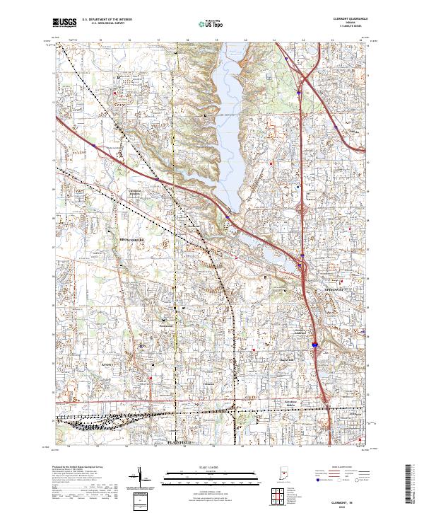 2022 Clermont2022 Print · USGSGreater Indianapolis expands westward in the early 2020s as residential growth surrounds the waters of Eagle Creek Reservoir. Researchers can locate numerous historical burial grounds like Jones Chapel Cem and Old Union Cem among the modern streets of Clermont and Speedway.
 - 2022 Map of Indianapolis West, 2022 Print
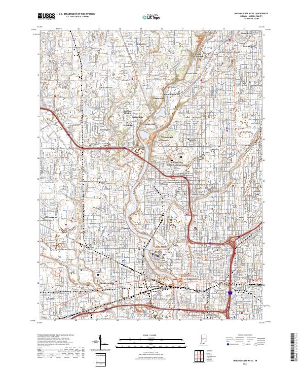 2022 Indianapolis West2022 Print · USGSWestern Indianapolis at the start of the 2020s shows a landscape where historic canal infrastructure and riverbanks meet modern academic and civic centers. Genealogists and historians can trace the borders of Crown Hill National Cem or locate the Grave of President Harrison and Floral Park Cem.
End of results
Showing maps 1-10 of 10
Top cities near Speedway
- Indianapolis historical maps
- Carmel historical maps
- Fishers historical maps
- Noblesville historical maps
- Greenwood historical maps
- Westfield historical maps
See more
Top neighborhoods of Speedway
Frequently asked questions
- What are the different types of historical maps available for Speedway?
- What is the oldest map of Speedway?
- Where can I purchase historical maps of Speedway for my home or office?
- Where can I download high-res historical maps of Speedway?
- Are there historical topographic maps available for Speedway?
- Is there historical aerial imagery available for Speedway?
- Where are historical maps of Speedway sourced from?