Old Maps of Dover Hill, Indiana for Academic Research
Study the evolution of Dover Hill with 13 high-resolution historic maps. Whether you're teaching, researching, or modeling changes in land use, these maps provide essential visual documentation of urban, environmental, and geographic change.
- Analyze long-term change: Track patterns in development, transportation, and natural features.
- Ideal for environmental or urban studies: Support academic projects with primary historical map data.
- Use in the classroom or lab: Educators and researchers rely on these maps to bring historical context to life.
These maps are a powerful tool for teaching, research, and visualizing how Dover Hill has changed over the decades.
Dover Hill, IN maps
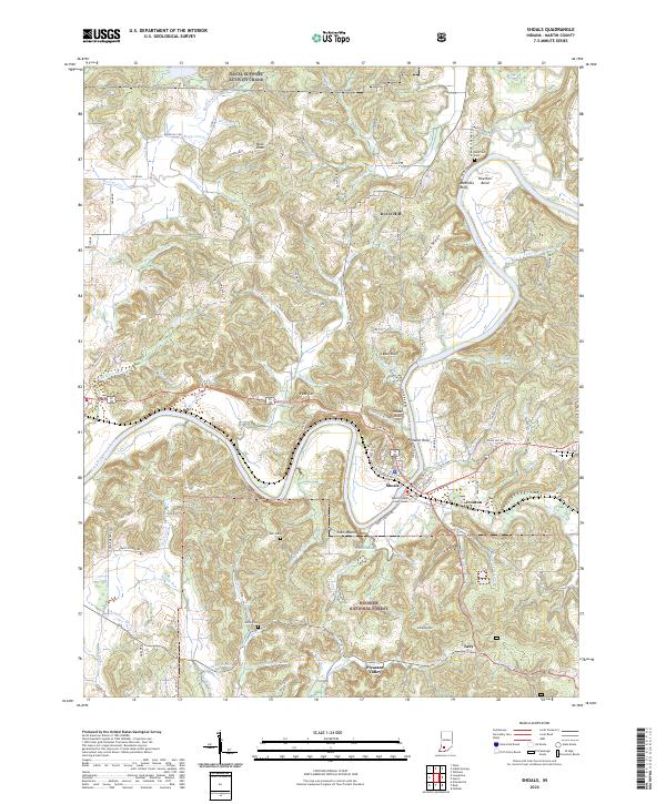
(13)- 1950 Map of Shoals
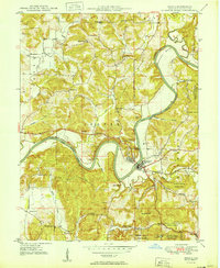 1950 Shoals1950 Print · USGSMartin County’s river-carved landscape is captured here in the mid-twentieth century, centered on the horseshoe bend of the East Fork White River. Genealogists can trace family footprints at Mt Union Ch, Poplar Grove Ch, and schools like Hickory Ridge Sch or Red Sch.2 unique versions available
 - 1956 Map of Vincennes, 1967 Print
 1956 Vincennes1967 Print · USGSSouthern Indiana and the Illinois borderlands are captured here in the mid-fifties, showing the region's dense network of river towns and rail lines. Researchers can trace historic river crossings along the Wabash River or locate landmarks like Wyandotte Cave and Lincoln State Park.4 unique versions available
 - 1957 Map of Vincennes
 1957 Vincennes1957 Print · USGSSouthwest Indiana and the Illinois borderlands come alive in the late 1950s, a period of heavy rail traffic and expanding state forests. Genealogists and historians can trace the riverfronts and rail lines of Vincennes, New Harmony, and the vast Crane Naval Ammunition Depot.
 - 1958 Map of Vincennes
 1958 Vincennes1958 Print · USGSSouthern Indiana and the Illinois borderlands are captured during a mid-century period of heavy rail traffic and military activity. Researchers can trace the sprawling bounds of the Crane Naval Ammunition Depot or locate historic settlements like New Harmony and French Lick.2 unique versions available
 - 1960 Map of Shoals
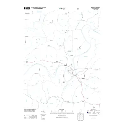
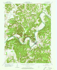 1960 Shoals1960 Print · USGSIn the early 1960s, the East Fork White River dominated this Martin County landscape, winding past the rail hub of Shoals. Genealogists and historians can locate rural landmarks such as Hindostan, the Ship Mine, and country congregations like Poplar Grove Ch.3 unique versions available
 - 1986 Map of Bedford
 1986 Bedford1986 Print · USGSSouthern Indiana in the mid-eighties remains a landscape of deep forests, limestone quarries, and vital rail junctions. Genealogists and historians can trace the rural networks connecting French Lick, the Crane Naval Weapons Support Center, and the historic Becks Mill.
 - 1990 Map of Bedford, 1991 Print
 1990 Bedford1991 Print · USGSSouthern Indiana in the early nineties reveals a complex landscape of military reservations, resort towns, and heavy industry. Genealogists and historians can trace family sites like Old Union Cem and Trinity Springs or locate the limestone quarries surrounding Oolitic.
 - 1993 Map of Shoals, 1998 Print
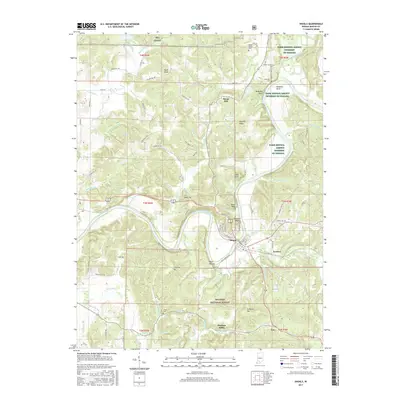
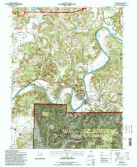 1993 Shoals1998 Print · USGSMartin County in the early 1990s is characterized by the winding path of the East Fork White River through dense forest and small river towns. Genealogists and local historians can trace family locations near Shoals, the historic McBrides Ferry crossing, and old landmarks like Poplar Grove Ch.
 - 2010 Map of Shoals, 2010 Print
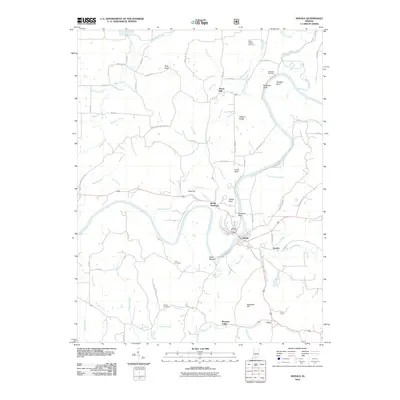 2010 Shoals2010 Print · USGSCovers Dover Hill, including Shoals, Shoals Overlook, and other nearby areas
 - 2013 Map of Shoals, 2013 Print
 2013 Shoals2013 Print · USGSCovers Dover Hill, including Shoals, Shoals Overlook, and other nearby areas
 - 2017 Map of Shoals, 2017 Print
 2017 Shoals2017 Print · USGSCovers Dover Hill, including Shoals, Shoals Overlook, and other nearby areas
 - 2019 Map of Shoals, 2019 Print
 2019 Shoals2019 Print · USGSCovers Dover Hill, including Shoals, Shoals Overlook, and other nearby areas
 - 2022 Map of Shoals, 2022 Print
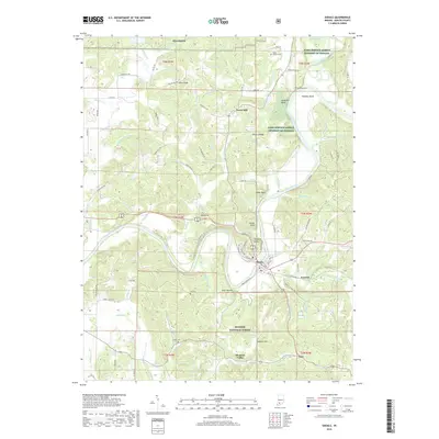
 2022 Shoals2022 Print · USGSMartin County comes into focus in the early 2020s, centered on the riverfront community of Shoals. Local historians can trace family roots at McBrides Cem, locate the Martin County Court House, or explore the terrain around Heathen Bend.
End of results
Showing maps 1-13 of 13
Top cities near Dover Hill
- Loogootee historical maps
- French Lick historical maps
- Odon historical maps
- Shoals historical maps
- West Baden Springs historical maps
- Newberry historical maps
See more
Frequently asked questions
- What are the different types of historical maps available for Dover Hill?
- What is the oldest map of Dover Hill?
- Where can I purchase historical maps of Dover Hill for my home or office?
- Where can I download high-res historical maps of Dover Hill?
- Are there historical topographic maps available for Dover Hill?
- Is there historical aerial imagery available for Dover Hill?
- Where are historical maps of Dover Hill sourced from?