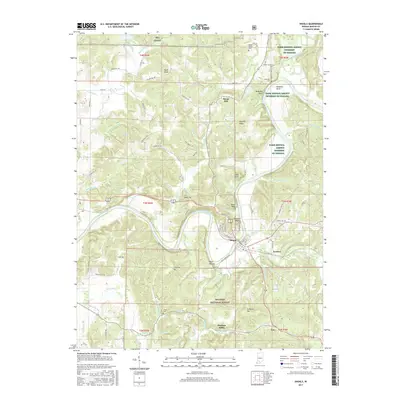
2017 Map of Shoals
USGS Topo · Published 2017About this map
The East Fork White River carves a deep, winding path through this corner of Martin County, defining the local geography with its sharp meanders and dramatic riverside elevations. Shoals serves as the primary hub along the riverbanks, where the terrain is marked by distinctive geological formations such as Pinnacle Rock and the nearby Cedar Bluff. To the north, the settlement of Dover Hill sits atop the high ground, surrounded by a network of rural routes like Dover Hill Rd and Killion Mill Rd.
Find a feature on this map
116 named features on this map. Tap any name to fly to it.
Don’t see what you’re looking for? This feature index may not catch every label — zoom into the map to look around manually.
Map Details
Editions of this 2017 Shoals Map
This is the sole edition of this map. No revisions or reprints were ever made.
Other maps of this area

1935 · Oolitic
USGS Topo · 1:48,000

1942 · Oolitic
USGS Topo · 1:62,500

1948 · Huron
USGS Topo · 1:24,000

1950 · Huron
USGS Topo · 1:24,000

1950 · Shoals
USGS Topo · 1:24,000

1950 · Odon
USGS Topo · 1:24,000

1951 · Hillham
USGS Topo · 1:24,000

1956 · Alfordsville
USGS Topo · 1:24,000

1956 · Loogootee
USGS Topo · 1:24,000

1956 · Rusk
USGS Topo · 1:24,000