Old Maps of The Stands, Bloomington for Academic Research
Study the evolution of The Stands with 23 high-resolution historic maps. Whether you're teaching, researching, or modeling changes in land use, these maps provide essential visual documentation of urban, environmental, and geographic change.
- Analyze long-term change: Track patterns in development, transportation, and natural features.
- Ideal for environmental or urban studies: Support academic projects with primary historical map data.
- Use in the classroom or lab: Educators and researchers rely on these maps to bring historical context to life.
These maps are a powerful tool for teaching, research, and visualizing how The Stands has changed over the decades.
The Stands, Bloomington maps
(23)- 1908 Map of Bloomington
 1908 Bloomington1908 Print · USGSMonroe and Greene Counties appear at the height of their early rail-and-quarry era during the first decade of the 1900s. Genealogists can locate family landmarks among dozens of rural schoolhouses like Parks School and old parish sites like Mt Ebal Church.2 unique versions available
 - 1910 Map of Bloomington
 1910 Bloomington1910 Print · USGSMonroe County at the peak of its quarrying era reveals a landscape shaped by education, industry, and rail. Genealogists can trace family roots through Indiana University, Sanders PO, and the Greene County Chapel.6 unique versions available
 - 1953 Map of Indianapolis, 1965 Print
 1953 Indianapolis1965 Print · USGSCentral Indiana and the Illinois borderlands are captured in the mid-sixties, showing the growth of Indianapolis and its industrial rail corridors. Genealogists and historians can trace the development of outlying towns like Zionsville or Beech Grove and find landmarks such as Atterbury AAF and Turkey Run State Park.4 unique versions available
 - 1956 Map of Indianapolis
 1956 Indianapolis1956 Print · USGSCentral Indiana in the mid-fifties is captured during a period of industrial growth and military presence. Genealogists and historians can trace the rail networks of the New York Central or locate regional landmarks like Fort Benjamin Harrison and Camp Atterbury.
 - 1956 Map of Clear Creek, 1957 Print
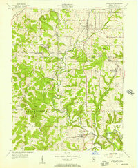 1956 Clear Creek1957 Print · USGSMonroe County during the mid-fifties reveals a landscape transitioning between its deep-rooted limestone industry and post-war development. Genealogists and historians can trace the foundations of Harrodsburg and Smithville while locating family sites like Ketcham Cem and Walkers Chapel.
 - 1956 Map of Bloomington, 1958 Print
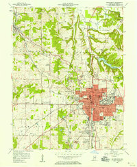 1956 Bloomington1958 Print · USGSBloomington and its limestone quarries are captured here in the mid-fifties during a period of steady post-war expansion. Local researchers can trace family names at Rose Hill Cemetery, locate old rail spurs of the Monon, or find rural landmarks like Stewart Tabernacle and Joint Sch.
 - 1957 Map of Indianapolis
 1957 Indianapolis1957 Print · USGSCentral Indiana in the mid-fifties is captured here as a crossroads of major rail lines and nascent federal highways. Genealogists and historians can trace family-named ridges like Poplar Ridge or locate strategic sites like Camp Atterbury and Speedway.2 unique versions available
 - 1962 Map of Indianapolis
 1962 Indianapolis1962 Print · USGSCentral Indiana and the Illinois borderlands are captured here in the early sixties, showing the region's dense rail networks and growing urban centers. Genealogists and historians can locate family-named landmarks and institutions like Crown Hill Cem, Indiana University, and the Indianapolis Motor Speedway.
 - 1965 Map of Clear Creek, 1968 Print
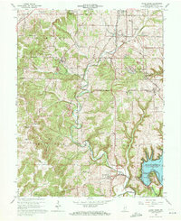 1965 Clear Creek1968 Print · USGSMonroe County in the mid-1960s is defined by the intersection of the expanding Monroe Reservoir and the established limestone industry. Genealogists and historians can trace local landmarks like Walkers Chapel, Clover Hill Cem, and the rail lines of the Monon Railroad.6 unique versions available
 - 1966 Map of Bloomington, 1967 Print
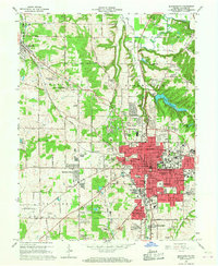 1966 Bloomington1967 Print · USGSMid-century Bloomington is captured in a period of significant growth, showing the city's expansion alongside its deep-rooted limestone industry. Researchers can trace the MONON rail line, locate dozens of neighborhood schools like Hensonburg Sch, and find family sites near Rose Hill Cemetery.4 unique versions available
 - 1986 Map of Bloomington
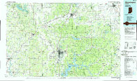 1986 Bloomington1986 Print · USGSMid-century development and vast conservation areas define south-central Indiana during the eighties. Genealogists and historians can trace family roots through numerous landmarks like Beanblossom Cem, New Unionville Church, and the historic corridors of the Indiana RR.3 unique versions available
 - 1998 Map of Bloomington, 2003 Print
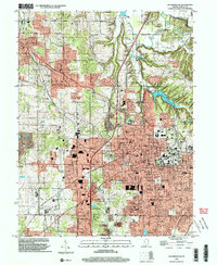 1998 Bloomington2003 Print · USGSMonroe County enters the late twentieth century with its academic and urban core in full view. Genealogists and local historians can trace family locations through Rose Hill Cemetery, identify old school sites like Dyer Jr High Sch, and locate the historic Hunter Switch rail point.
 - 1999 Map of Clear Creek, 2001 Print
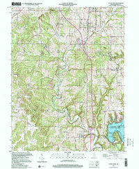 1999 Clear Creek2001 Print · USGSMonroe County's limestone country and the headwaters of the Monroe Reservoir are shown here at the turn of the millennium. Researchers can trace the industrial footprint of local Quarries and locate historic community sites like Walkers Chapel and Clover Hill Cem.
 - 2010 Map of Clear Creek, 2010 Print
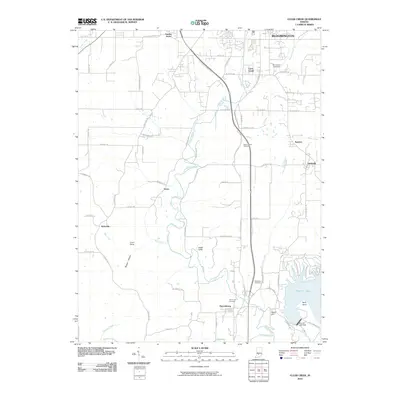 2010 Clear Creek2010 Print · USGSMonroe County south of Bloomington is captured in the early 2000s, showing the intersection of suburban growth and the deep valley of Clear Creek. Trace family heritage and local landmarks from Mount Salem Cemetery to the Monroe Lake Dam and Harrodsburg.
 - 2010 Map of Bloomington, 2010 Print
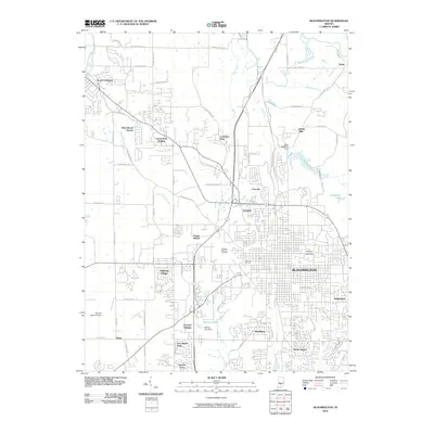 2010 Bloomington2010 Print · USGSMonroe County enters a new decade as a thriving university and residential center. Genealogists and local historians can trace modern neighborhood growth near Indiana University, along with established landmarks like Rose Hill Cemetery and Hunter Switch.
 - 2013 Map of Bloomington, 2013 Print
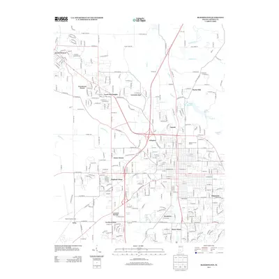 2013 Bloomington2013 Print · USGSThe western expansion of Bloomington and the town of Ellettsville are documented here during a period of significant suburban growth. Researchers can trace local development across neighborhoods like Highland Village or locate landmarks such as the Monroe County Airport and Indiana University Stadium.
 - 2013 Map of Clear Creek, 2013 Print
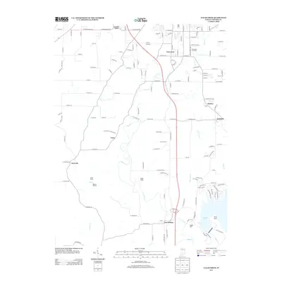 2013 Clear Creek2013 Print · USGSMonroe County, Indiana, in the early twenty-first century shows a landscape of small settlements and lakeside terrain. Trace family roots and local landmarks from Harrodsburg to Sanders, or locate cultural icons like the Bloomington Speedway and Starlite Drive-In.
 - 2016 Map of Clear Creek, 2016 Print
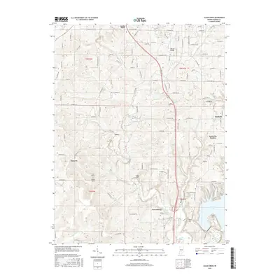 2016 Clear Creek2016 Print · USGSSouthern Monroe County is documented here during a period of suburban expansion and lakefront development. Researchers can trace family roots through historic burial grounds like Clover Hill Cem or locate old community centers such as Harrodsburg and Victor.
 - 2016 Map of Bloomington, 2016 Print
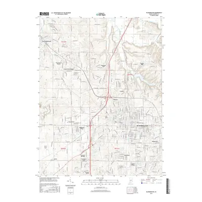 2016 Bloomington2016 Print · USGSBloomington and Ellettsville are captured here during a period of significant suburban and academic expansion in Monroe County. Researchers can trace the development of Indiana University or locate family sites at Rose Hill Cem and Leonard Springs.
 - 2019 Map of Bloomington, 2019 Print
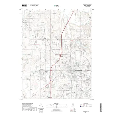 2019 Bloomington2019 Print · USGSThe university city of Bloomington and nearby Ellettsville appear in high detail during this late-decade survey of Monroe County. Local historians can trace the growth of residential additions like Highland Village and locate family plots in the Rose Hill Cem.
 - 2019 Map of Clear Creek, 2019 Print
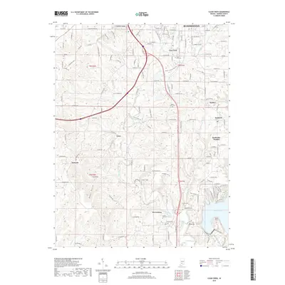 2019 Clear Creek2019 Print · USGSMonroe County south of Bloomington is shown here in the late 2010s as it balances modern growth with its rural roots. Researchers can trace historic cemeteries and old rail corridors, from Clover Hill Cemetery to the Clear Creek Rail Trail.
 - 2022 Map of Bloomington, 2022 Print
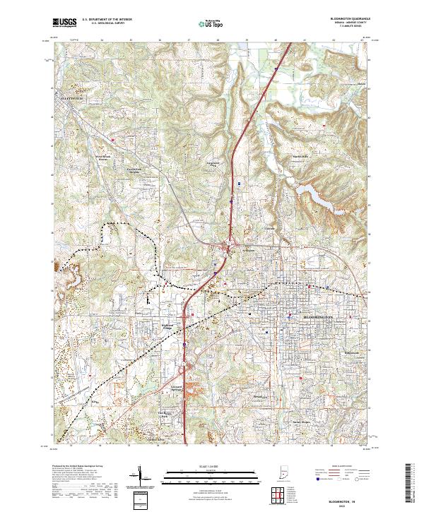 2022 Bloomington2022 Print · USGSThe Indiana university town and surrounding Monroe County countryside are captured here in the early 2020s. Genealogists and historians can trace the development of Bloomington and Ellettsville, alongside landmarks like Rose Hill Cem and the campus of Indiana University Bloomington.
 - 2022 Map of Clear Creek, 2022 Print
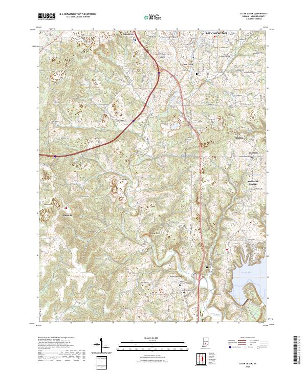 2022 Clear Creek2022 Print · USGSMonroe County south of Bloomington is shown here in the early 2020s, where rural township history meets the waters of the lake. Researchers can trace family roots at Clear Creek Cem or locate the old rail-and-quarry sites of Victor and Sanders.
End of results
Showing maps 1-23 of 23
Frequently asked questions
- What are the different types of historical maps available for The Stands?
- What is the oldest map of The Stands?
- Where can I purchase historical maps of The Stands for my home or office?
- Where can I download high-res historical maps of The Stands?
- Are there historical topographic maps available for The Stands?
- Is there historical aerial imagery available for The Stands?
- Where are historical maps of The Stands sourced from?