2020s Maps of Kendallville, Indiana
Explore 2 historic maps of Kendallville from the 2020s. These maps offer a rare glimpse into what life looked like during the 2020s — showing old roads, neighborhoods, homes, and landmarks that have changed or disappeared over time.
Whether you're researching your family's past, planning a metal detecting trip, or studying how Kendallville's landscape evolved across the 2020s, these high-resolution maps are a powerful tool for exploring the history of this region.
- Focus on a specific era: All maps on this page are from the 2020s, giving you a focused view of this time period.
- See what’s changed: Compare century-old streets, trails, and buildings to today's modern landscape using overlays and satellite layers.
- Research with precision: Use these maps for genealogy, historical research, land use analysis, or educational projects.
- View, download, or print: Maps are fully viewable online in high resolution, and can be downloaded or printed for your own records.
Start exploring Kendallville's history through authentic maps from the 2020s. This is your window into the past.
Kendallville, IN maps
(2)- 2022 Map of Corunna, 2022 Print
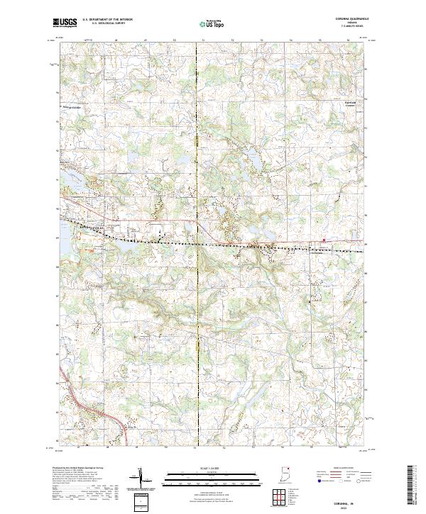 2022 Corunna2022 Print · USGSCorunna and Kendallville appear at the dawn of the 2020s in this detailed look at the Noble-DeKalb county line. Researchers can trace local lineage through the Corunna Cemetery and Fairfield Center Church, or locate the historic Wayne Center School.
 - 2022 Map of Kendallville, 2022 Print
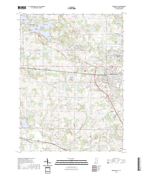 2022 Kendallville2022 Print · USGSNorthern Indiana lake country and the hub of Kendallville are documented here in the early twenty-first century. Genealogists can locate legacy sites like Lake View Cem and Perseverance Cem, or trace the Ft. Wayne to Kendallville Rail Trl.
End of results
Showing maps 1-2 of 2
Top cities near Kendallville
- Auburn historical maps
- Angola historical maps
- Garrett historical maps
- Lagrange historical maps
- LaGrange historical maps
- Leo-Cedarville historical maps
See more
Frequently asked questions
- What are the different types of historical maps available for Kendallville?
- What is the oldest map of Kendallville?
- Where can I purchase historical maps of Kendallville for my home or office?
- Where can I download high-res historical maps of Kendallville?
- Are there historical topographic maps available for Kendallville?
- Is there historical aerial imagery available for Kendallville?
- Where are historical maps of Kendallville sourced from?