Old Maps of Ethel, Indiana for Metal Detecting
Plan your next treasure hunt with 13 historic maps of Ethel. Find old homesites, ghost towns, trails, and gathering spots that may be lost to time — perfect for identifying promising metal detecting locations.
- Locate forgotten sites: Uncover places like long-lost settlements, abandoned rail lines, or gathering spots.
- Plan better hunts: Use map overlays combined with LiDAR or satellite views to narrow in on historically rich areas.
- Made for detectorists: Thousands of hobbyists use these maps to discover relics, coins, and hidden history.
Use these historic maps to boost your research and find new opportunities beneath the surface of Ethel.
Ethel, IN maps
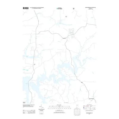
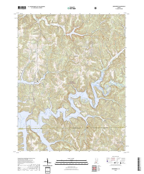
(13)- 1956 Map of Greenbrier, 1957 Print
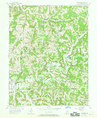 1956 Greenbrier1957 Print · USGSThe Orange and Crawford County line comes to life in the mid-fifties, showing the deeply wooded hollows and rural communities of the Hoosier National Forest. Genealogists and researchers can trace family landmarks like Lowe Cem, the Spears Lookout Tower, and the remote Newton Stewart settlement.2 unique versions available
 - 1956 Map of Vincennes, 1967 Print
 1956 Vincennes1967 Print · USGSSouthern Indiana and the Illinois borderlands are captured here in the mid-fifties, showing the region's dense network of river towns and rail lines. Researchers can trace historic river crossings along the Wabash River or locate landmarks like Wyandotte Cave and Lincoln State Park.4 unique versions available
 - 1957 Map of Vincennes
 1957 Vincennes1957 Print · USGSSouthwest Indiana and the Illinois borderlands come alive in the late 1950s, a period of heavy rail traffic and expanding state forests. Genealogists and historians can trace the riverfronts and rail lines of Vincennes, New Harmony, and the vast Crane Naval Ammunition Depot.
 - 1958 Map of Vincennes
 1958 Vincennes1958 Print · USGSSouthern Indiana and the Illinois borderlands are captured during a mid-century period of heavy rail traffic and military activity. Researchers can trace the sprawling bounds of the Crane Naval Ammunition Depot or locate historic settlements like New Harmony and French Lick.2 unique versions available
 - 1980 Map of Greenbrier
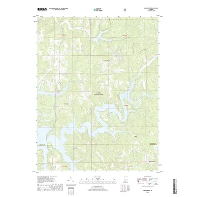
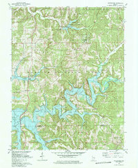 1980 Greenbrier1980 Print · USGSSouthern Indiana was undergoing a dramatic transformation in the late seventies as the newly created Patoka Lake filled the deep wooded valleys. Genealogists and local historians can trace old road networks and find quiet landmarks like South Liberty Ch, McDougal Ch, and the settlement of Greenbrier.3 unique versions available
 - 1986 Map of Jasper
 1986 Jasper1986 Print · USGSSouthern Indiana in the 1980s is defined by the expansive Patoka Lake and the dense timber of the Hoosier National Forest. Researchers can trace the Southern RR through the hills or locate historic sites like Saint Meinrad and Sulphur Springs.
 - 1993 Map of Greenbrier, 1996 Print
 1993 Greenbrier1996 Print · USGSSouthern Indiana's deep woodlands and river valleys are captured here in the 1990s as the Hoosier National Forest surrounds the waters of Patoka Lake. Researchers can trace old family sites and rural landmarks like Cumberland McDonald Ch and Flick Cem.
 - 1994 Map of Jasper
 1994 Jasper1994 Print · USGSSouthern Indiana and the Kentucky borderlands are captured here in the mid-nineties, showing a landscape defined by the Ohio River and dense state forests. Genealogists can locate family landmarks like Saint Meinrad Archabbey, Saint Anthony, and the historic Lincoln Boyhood National Memorial.
 - 2011 Map of Greenbrier, 2011 Print
 2011 Greenbrier2011 Print · USGSCovers Ethel, including Greenbrier, Brownstown, and other nearby areas
 - 2013 Map of Greenbrier, 2013 Print
 2013 Greenbrier2013 Print · USGSCovers Ethel, including Greenbrier, Brownstown, and other nearby areas
 - 2016 Map of Greenbrier, 2016 Print
 2016 Greenbrier2016 Print · USGSCovers Ethel, including Greenbrier, Brownstown, and other nearby areas
 - 2019 Map of Greenbrier, 2019 Print
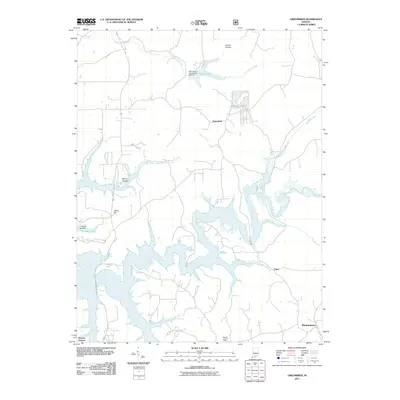
 2019 Greenbrier2019 Print · USGSCovers Ethel, including Greenbrier, Brownstown, and other nearby areas
 - 2022 Map of Greenbrier, 2022 Print
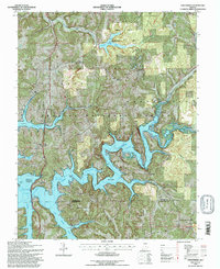
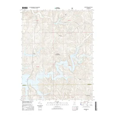
 2022 Greenbrier2022 Print · USGSThe intricate shoreline of Patoka Lake and the deep woods of the Hoosier National Forest define this corner of southern Indiana. Genealogists and local historians can locate old burial grounds like Jericho Cem and small communities such as Greenbrier or Ethel.
End of results
Showing maps 1-13 of 13
Top cities near Ethel
- Paoli historical maps
- French Lick historical maps
- Stampers Creek historical maps
- Marengo historical maps
- English historical maps
- West Baden Springs historical maps
See more
Frequently asked questions
- What are the different types of historical maps available for Ethel?
- What is the oldest map of Ethel?
- Where can I purchase historical maps of Ethel for my home or office?
- Where can I download high-res historical maps of Ethel?
- Are there historical topographic maps available for Ethel?
- Is there historical aerial imagery available for Ethel?
- Where are historical maps of Ethel sourced from?