Old Maps of Youngs Creek, Indiana for Hiking & Exploration
Hike through history with 14 historic maps of Youngs Creek. Explore old trails, ghost towns, and forgotten backroads — perfect for outdoor adventurers and local explorers.
- Rediscover forgotten places: Map out old mining camps, roads, and footpaths that no longer exist on modern maps.
- Layer with modern tools: Combine with LiDAR or satellite views to plan hikes through historical terrain.
- Made for exploration: Popular among hikers, overlanders, and local history lovers.
Use these maps to find adventure and explore the hidden past of Youngs Creek.
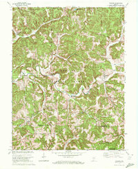
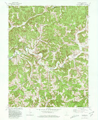
Youngs Creek, IN maps
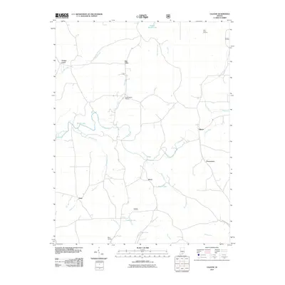
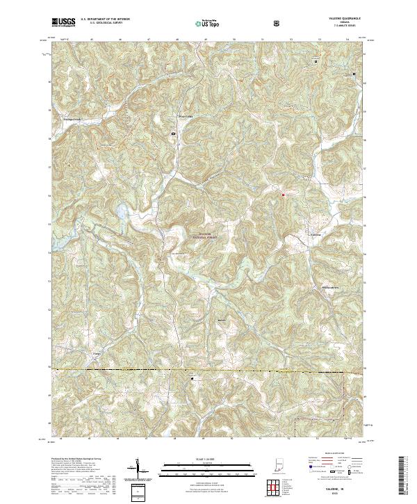
(14)- 1950 Map of Valeene, 1952 Print
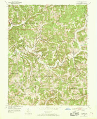 1950 Valeene1952 Print · USGSSouthern Indiana's rural landscape at the edge of the Hoosier National Forest is preserved here in the mid-twentieth century. Researchers can trace the family histories of communities like Valeene and Fargo through local landmarks such as Cooks Ch and Perkiser Cem.3 unique versions available
 - 1956 Map of Vincennes, 1967 Print
 1956 Vincennes1967 Print · USGSSouthern Indiana and the Illinois borderlands are captured here in the mid-fifties, showing the region's dense network of river towns and rail lines. Researchers can trace historic river crossings along the Wabash River or locate landmarks like Wyandotte Cave and Lincoln State Park.4 unique versions available
 - 1957 Map of Vincennes
 1957 Vincennes1957 Print · USGSSouthwest Indiana and the Illinois borderlands come alive in the late 1950s, a period of heavy rail traffic and expanding state forests. Genealogists and historians can trace the riverfronts and rail lines of Vincennes, New Harmony, and the vast Crane Naval Ammunition Depot.
 - 1958 Map of Vincennes
 1958 Vincennes1958 Print · USGSSouthern Indiana and the Illinois borderlands are captured during a mid-century period of heavy rail traffic and military activity. Researchers can trace the sprawling bounds of the Crane Naval Ammunition Depot or locate historic settlements like New Harmony and French Lick.2 unique versions available
 - 1970 Map of Valeene, 1972 Print
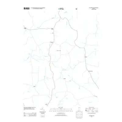
 1970 Valeene1972 Print · USGSSouthern Indiana's rugged backcountry is shown in the early seventies, featuring the foundational surveying point for the entire state. Researchers can trace the Old Indian Treaty Boundary and locate family sites like Purkhiser Cem or the rural settlement of Valeene.
 - 1979 Map of Valeene, 1980 Print
 1979 Valeene1980 Print · USGSSouthern Indiana's heavily forested hills meet the waters of Patoka Lake in this late-seventies survey. Genealogists can trace family roots through rural communities like Valeene and Pearsontown or locate the historic Initial Point Historical Monument.
 - 1986 Map of Jasper
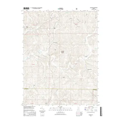
 1986 Jasper1986 Print · USGSSouthern Indiana in the 1980s is defined by the expansive Patoka Lake and the dense timber of the Hoosier National Forest. Researchers can trace the Southern RR through the hills or locate historic sites like Saint Meinrad and Sulphur Springs.
 - 1993 Map of Valeene, 1996 Print
 1993 Valeene1996 Print · USGSSouthern Indiana timberlands and river valleys are captured here in the early nineties. Researchers can trace family history at Valeene Cem or locate the old homesteads around Valeene and Pearsonville near the Patoka River.
 - 1994 Map of Jasper
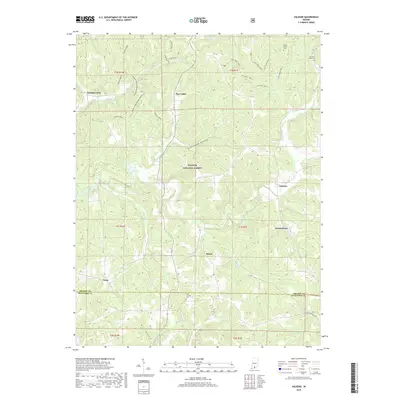
 1994 Jasper1994 Print · USGSSouthern Indiana and the Kentucky borderlands are captured here in the mid-nineties, showing a landscape defined by the Ohio River and dense state forests. Genealogists can locate family landmarks like Saint Meinrad Archabbey, Saint Anthony, and the historic Lincoln Boyhood National Memorial.
 - 2010 Map of Valeene, 2010 Print
 2010 Valeene2010 Print · USGSCovers Youngs Creek, including Valeene, Fargo, and other nearby areas
 - 2013 Map of Valeene, 2013 Print
 2013 Valeene2013 Print · USGSCovers Youngs Creek, including Valeene, Fargo, and other nearby areas
 - 2016 Map of Valeene, 2016 Print
 2016 Valeene2016 Print · USGSCovers Youngs Creek, including Valeene, Fargo, and other nearby areas
 - 2019 Map of Valeene, 2019 Print
 2019 Valeene2019 Print · USGSCovers Youngs Creek, including Valeene, Fargo, and other nearby areas
 - 2022 Map of Valeene, 2022 Print
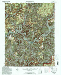
 2022 Valeene2022 Print · USGSThe rural uplands of Orange County are shown in detail here, where the Patoka River meets the protected woods of the Hoosier National Forest. Trace family histories and local routes through communities like Valeene and Bacon, or locate historic sites such as the Little Africa Cem.
End of results
Showing maps 1-14 of 14
Top cities near Youngs Creek
- Paoli historical maps
- Orleans historical maps
- French Lick historical maps
- Stampers Creek historical maps
- Marengo historical maps
- English historical maps
See more
Frequently asked questions
- What are the different types of historical maps available for Youngs Creek?
- What is the oldest map of Youngs Creek?
- Where can I purchase historical maps of Youngs Creek for my home or office?
- Where can I download high-res historical maps of Youngs Creek?
- Are there historical topographic maps available for Youngs Creek?
- Is there historical aerial imagery available for Youngs Creek?
- Where are historical maps of Youngs Creek sourced from?