Old Maps of Highbank Town, Indiana
Explore 11 old maps of Highbank Town, spanning from 1945 to today. These high-resolution historic maps reveal how streets, neighborhoods, landmarks, and natural features evolved over time — perfect for genealogy, metal detecting, research, and local history exploration.
What you can do with these maps:
- See how Highbank Town changed over time: Compare historical maps to modern-day views to trace roads, homesites, rail lines & more.
- View detailed metadata: Each map includes creators, publishers, year, scale, and archive source.
- Overlay maps with satellite & LiDAR: Visualize the past alongside modern tools to explore terrain & human change.
- Trusted historical sources: Maps sourced from the USGS, Library of Congress, and other archives.
- Access maps your way: View online, download high-res files, or order prints for personal or research use.
Start exploring old maps of Highbank Town to uncover forgotten places, hidden landmarks, and the deep history beneath your feet.
Highbank Town, IN maps
(11)- 1945 Map of Sandy Hook
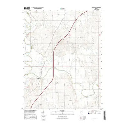
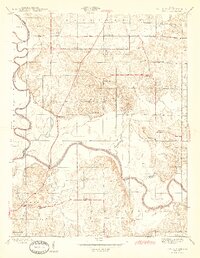 1945 Sandy Hook1945 Print · USGSDaviess County was a landscape of small schoolhouses and river junctions during the 1940s. Genealogists and local historians can trace family locations near Union Cemetery or locate old community centers like Sandy Hook and Needmore Sch.2 unique versions available
 - 1956 Map of Vincennes, 1967 Print
 1956 Vincennes1967 Print · USGSSouthern Indiana and the Illinois borderlands are captured here in the mid-fifties, showing the region's dense network of river towns and rail lines. Researchers can trace historic river crossings along the Wabash River or locate landmarks like Wyandotte Cave and Lincoln State Park.4 unique versions available
 - 1957 Map of Vincennes
 1957 Vincennes1957 Print · USGSSouthwest Indiana and the Illinois borderlands come alive in the late 1950s, a period of heavy rail traffic and expanding state forests. Genealogists and historians can trace the riverfronts and rail lines of Vincennes, New Harmony, and the vast Crane Naval Ammunition Depot.
 - 1958 Map of Vincennes
 1958 Vincennes1958 Print · USGSSouthern Indiana and the Illinois borderlands are captured during a mid-century period of heavy rail traffic and military activity. Researchers can trace the sprawling bounds of the Crane Naval Ammunition Depot or locate historic settlements like New Harmony and French Lick.2 unique versions available
 - 1958 Map of Sandy Hook, 1960 Print
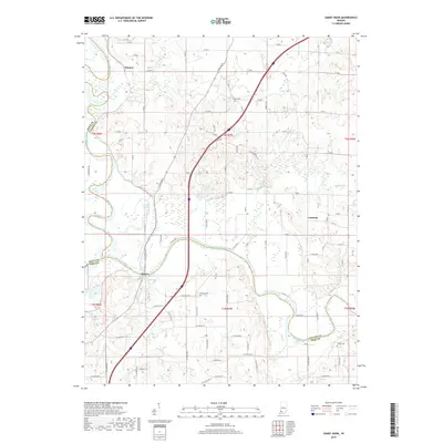
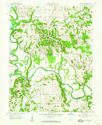 1958 Sandy Hook1960 Print · USGSDaviess County at the confluence of the White River forks shows its rural character during the late fifties. Genealogists can trace family connections through numerous landmarks like Union Cemetery, Letts School, and the settlement of Cumback.3 unique versions available
 - 1986 Map of Vincennes
 1986 Vincennes1986 Print · USGSThe Wabash River valley in the mid-1980s shows a landscape defined by deep-rooted river towns and heavy industry. Researchers can trace the legacy of regional rail lines like the Conrail system or locate landmarks such as Vincennes University and St Francisville Church.2 unique versions available
 - 2010 Map of Sandy Hook, 2010 Print
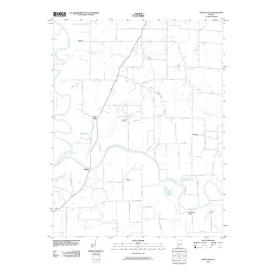 2010 Sandy Hook2010 Print · USGSCovers Highbank Town, including Cumback, Rogers, and other nearby areas
 - 2013 Map of Sandy Hook, 2013 Print
 2013 Sandy Hook2013 Print · USGSCovers Highbank Town, including Cumback, Rogers, and other nearby areas
 - 2016 Map of Sandy Hook, 2016 Print
 2016 Sandy Hook2016 Print · USGSCovers Highbank Town, including Cumback, Rogers, and other nearby areas
 - 2019 Map of Sandy Hook, 2019 Print
 2019 Sandy Hook2019 Print · USGSCovers Highbank Town, including Cumback, Rogers, and other nearby areas
 - 2022 Map of Sandy Hook, 2022 Print
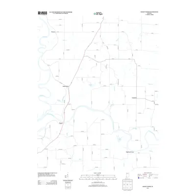
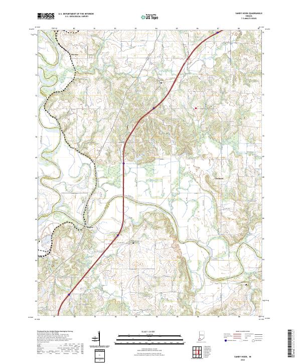 2022 Sandy Hook2022 Print · USGSSouthwestern Indiana's river junctions and rural hamlets are documented in this recent survey of the White River valley. Genealogists and local researchers can locate family sites near Rogers, Cumback, and several rural burial grounds like Arnold Cem and Bethel Cem.
End of results
Showing maps 1-11 of 11
Top cities near Highbank Town
- Jasper historical maps
- Washington historical maps
- Huntingburg historical maps
- Oakland City historical maps
- Petersburg historical maps
- Winslow historical maps
See more
Frequently asked questions
- What are the different types of historical maps available for Highbank Town?
- What is the oldest map of Highbank Town?
- Where can I purchase historical maps of Highbank Town for my home or office?
- Where can I download high-res historical maps of Highbank Town?
- Are there historical topographic maps available for Highbank Town?
- Is there historical aerial imagery available for Highbank Town?
- Where are historical maps of Highbank Town sourced from?