Old Maps of Caborn, Indiana for Metal Detecting
Plan your next treasure hunt with 13 historic maps of Caborn. Find old homesites, ghost towns, trails, and gathering spots that may be lost to time — perfect for identifying promising metal detecting locations.
- Locate forgotten sites: Uncover places like long-lost settlements, abandoned rail lines, or gathering spots.
- Plan better hunts: Use map overlays combined with LiDAR or satellite views to narrow in on historically rich areas.
- Made for detectorists: Thousands of hobbyists use these maps to discover relics, coins, and hidden history.
Use these historic maps to boost your research and find new opportunities beneath the surface of Caborn.
Caborn, IN maps
(13)- 1917 Map of Uniontown
 1917 Uniontown1917 Print · USGSThe Ohio River borderlands between Kentucky and Indiana were bustling with river and rail activity during the First World War. Local historians can trace dozens of rural school sites like Bethlehem School and river landmarks such as Slim Island and Hovey Lake.6 unique versions available
 - 1954 Map of Evansville
 1954 Evansville1954 Print · USGSThe Ohio River borderlands between Indiana and Kentucky appear here during a period of robust industrial and military growth. Genealogists and researchers can trace the rail corridors of the Illinois Central and find landmarks like US Lock and Dam No 48 or Camp Breckinridge.
 - 1957 Map of Caborn, 1959 Print
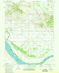 1957 Caborn1959 Print · USGSSouthwestern Indiana river life is centered on the Ohio River and the small hamlets of Bufkin and Caborn during the late fifties. Genealogists can locate family landmarks like St Johns Cem, Hartman Sch, and Mt Pleasant Ch among the complex sloughs and ditches of the river valley.2 unique versions available
 - 1957 Map of Evansville, 1969 Print
 1957 Evansville1969 Print · USGSIndiana and Kentucky meet along the Ohio River in this mid-century survey of a vital industrial and transport corridor. Genealogists and historians can trace the development of river towns like Owensboro and Newburgh or locate old rail lines like the Southern Ry.3 unique versions available
 - 1961 Map of Evansville
 1961 Evansville1961 Print · USGSThe Ohio River valley and its surrounding coalfields are captured here during the late fifties and early sixties. Trace the industrial rail networks of the Illinois Central RR and explore regional landmarks like Mammoth Cave National Park and Angel Mounds State Memorial.2 unique versions available
 - 1978 Map of Caborn, 1979 Print
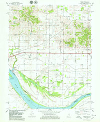 1978 Caborn1979 Print · USGSThe Indiana-Kentucky borderlands along the Ohio River appear here in the late seventies as a landscape of river industry and oil extraction. Trace family roots at St Johns Cem or follow the Louisville and Nashville Railroad through Bufkin and Caborn.2 unique versions available
 - 1986 Map of Evansville
 1986 Evansville1986 Print · USGSThe Ohio River valley thrives in the mid-1980s as a hub of river commerce, industry, and natural preservation spanning the Indiana-Kentucky border. Genealogists and historians can locate remote landmarks like Dead Mans Cem, Lippe Church, and the riverside community of Scuffletown.
 - 1991 Map of Evansville
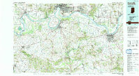 1991 Evansville1991 Print · USGSThe tri-state region of Indiana and Kentucky was a hub of river commerce and rail transport in the early nineties. Researchers can trace the industrial corridor between Evansville and Owensboro, locating landmarks like Angel Mounds State Memorial and the Seaboard System railroad.
 - 2010 Map of Caborn, 2010 Print
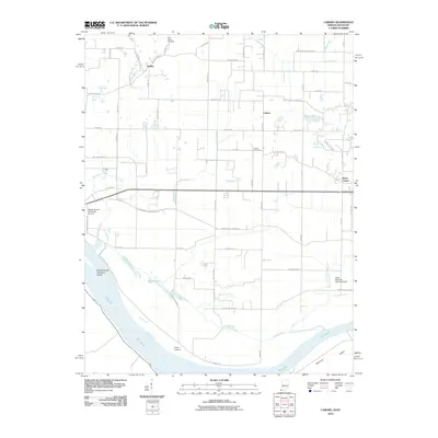 2010 Caborn2010 Print · USGSPosey County's riverfront and rural uplands are documented here in the early twenty-first century, showing the intersection of river life and agricultural industry. Researchers can locate Saint Johns Cemetery, trace the path of Cypress Slough, and explore settlements like Caborn and Marrs Center.
 - 2013 Map of Caborn, 2013 Print
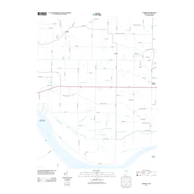 2013 Caborn2013 Print · USGSIn the riverlands of southern Posey County during the early 2010s, the landscape is a grid of agricultural ditches and rural aviation. Researchers can trace the drainage patterns of Dixon Ditch and Persimmon Pond Ditch or locate family-named settlements like Bufkin and Caborn.
 - 2016 Map of Caborn, 2016 Print
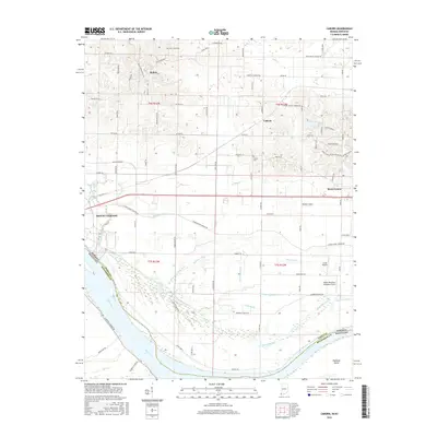 2016 Caborn2016 Print · USGSThe riverbottoms of Posey County meet the Ohio River in the mid-2010s, showing a landscape defined by complex drainage and rural hamlets. Genealogists and historians can locate Saint Johns Cem, the community of Bufkin, and the historic wetlands near Diamond Island.
 - 2019 Map of Caborn, 2019 Print
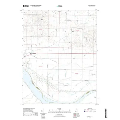 2019 Caborn2019 Print · USGSThe northern banks of the Ohio River define this Posey County landscape during the late 2010s, where river bottomlands meet rural crossroads. Researchers can trace family history at Saint Johns Cem or locate old community hubs like Bufkin and Caborn.
 - 2022 Map of Caborn, 2022 Print
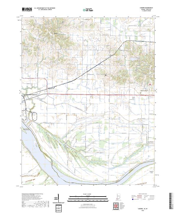 2022 Caborn2022 Print · USGSNear the southern tip of Indiana in the 2020s, the river plains meet a complex network of wetlands and agricultural tracts. Genealogists and local historians can trace family locations near Bufkin, Saint Johns Cem, and the shifting channels of Cypress Slough.
End of results
Showing maps 1-13 of 13
Top cities near Caborn
- Evansville historical maps
- Henderson historical maps
- Mount Vernon historical maps
- Armstrong historical maps
- Darmstadt historical maps
- Poseyville historical maps
See more
Frequently asked questions
- What are the different types of historical maps available for Caborn?
- What is the oldest map of Caborn?
- Where can I purchase historical maps of Caborn for my home or office?
- Where can I download high-res historical maps of Caborn?
- Are there historical topographic maps available for Caborn?
- Is there historical aerial imagery available for Caborn?
- Where are historical maps of Caborn sourced from?