Old Maps of Belle Union, Indiana for Hiking & Exploration
Hike through history with 12 historic maps of Belle Union. Explore old trails, ghost towns, and forgotten backroads — perfect for outdoor adventurers and local explorers.
- Rediscover forgotten places: Map out old mining camps, roads, and footpaths that no longer exist on modern maps.
- Layer with modern tools: Combine with LiDAR or satellite views to plan hikes through historical terrain.
- Made for exploration: Popular among hikers, overlanders, and local history lovers.
Use these maps to find adventure and explore the hidden past of Belle Union.
Belle Union, IN maps
(12)- 1953 Map of Indianapolis, 1965 Print
 1953 Indianapolis1965 Print · USGSCentral Indiana and the Illinois borderlands are captured in the mid-sixties, showing the growth of Indianapolis and its industrial rail corridors. Genealogists and historians can trace the development of outlying towns like Zionsville or Beech Grove and find landmarks such as Atterbury AAF and Turkey Run State Park.4 unique versions available
 - 1956 Map of Indianapolis
 1956 Indianapolis1956 Print · USGSCentral Indiana in the mid-fifties is captured during a period of industrial growth and military presence. Genealogists and historians can trace the rail networks of the New York Central or locate regional landmarks like Fort Benjamin Harrison and Camp Atterbury.
 - 1956 Map of Eminence, 1957 Print
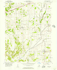 1956 Eminence1957 Print · USGSCentral Indiana's rural townships are captured in the mid-1950s at the junction of Putnam and Morgan counties. Researchers can trace family sites like the Broadstreet Cem, visit Belle Union, or locate the Walnut Chapel along Mill Creek.
 - 1957 Map of Indianapolis
 1957 Indianapolis1957 Print · USGSCentral Indiana in the mid-fifties is captured here as a crossroads of major rail lines and nascent federal highways. Genealogists and historians can trace family-named ridges like Poplar Ridge or locate strategic sites like Camp Atterbury and Speedway.2 unique versions available
 - 1962 Map of Indianapolis
 1962 Indianapolis1962 Print · USGSCentral Indiana and the Illinois borderlands are captured here in the early sixties, showing the region's dense rail networks and growing urban centers. Genealogists and historians can locate family-named landmarks and institutions like Crown Hill Cem, Indiana University, and the Indianapolis Motor Speedway.
 - 1970 Map of Eminence, 1972 Print
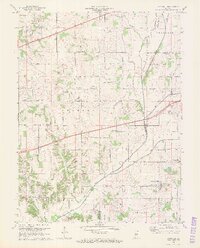 1970 Eminence1972 Print · USGSThe crossroads of Putnam and Morgan counties are captured here in the early seventies, showing a landscape of small farming towns and rural school districts. Genealogists can locate family sites at Walnut Chapel, the Whitaker-Patrick Cem, and the historic Covered Bridge.2 unique versions available
 - 1986 Map of Indianapolis
 1986 Indianapolis1986 Print · USGSThe Indiana capital and its surrounding counties are captured here in the mid-1980s, showcasing the height of its orbital highway development and suburban growth. Researchers can trace the legacy of the Fort Benjamin Harrison Military Reservation, follow the Conrail lines, or locate family roots in Beech Grove, Greencastle, and Zionsville.2 unique versions available
 - 2010 Map of Eminence, 2010 Print
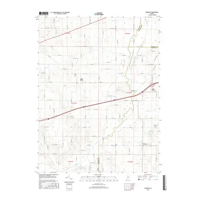
 2010 Eminence2010 Print · USGSCovers Belle Union, including Broad Park, Little Point, and other nearby areas
 - 2013 Map of Eminence, 2013 Print
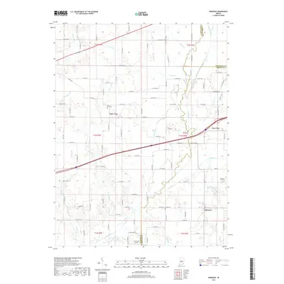
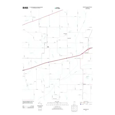 2013 Eminence2013 Print · USGSCovers Belle Union, including Broad Park, Little Point, and other nearby areas
 - 2016 Map of Eminence, 2016 Print
 2016 Eminence2016 Print · USGSCovers Belle Union, including Broad Park, Little Point, and other nearby areas
 - 2019 Map of Eminence, 2019 Print
 2019 Eminence2019 Print · USGSCovers Belle Union, including Broad Park, Little Point, and other nearby areas
 - 2022 Map of Eminence, 2022 Print
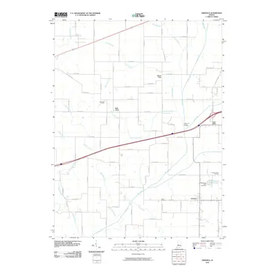
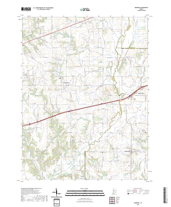 2022 Eminence2022 Print · USGSThe rural landscapes of Putnam and Morgan counties come into focus here in the early 2020s. Researchers can trace local genealogy through sites like Belle Union Branch Cem and explore the rural layout of Eminence and Belle Union.
End of results
Showing maps 1-12 of 12
Top cities near Belle Union
- Greencastle historical maps
- Danville historical maps
- Cloverdale historical maps
- Clayton historical maps
- Gosport historical maps
- Paragon historical maps
See more
Frequently asked questions
- What are the different types of historical maps available for Belle Union?
- What is the oldest map of Belle Union?
- Where can I purchase historical maps of Belle Union for my home or office?
- Where can I download high-res historical maps of Belle Union?
- Are there historical topographic maps available for Belle Union?
- Is there historical aerial imagery available for Belle Union?
- Where are historical maps of Belle Union sourced from?