Old Maps of Morton, Indiana for Genealogy
Trace your family roots with 12 historic maps of Morton. These high-res maps reveal old neighborhoods, homesites, landmarks, and streets — helping you uncover where your ancestors lived and how the area evolved over time.
- Explore historic neighborhoods: Identify where your relatives may have lived in the 1800s or 1900s.
- Compare maps over time: Trace the changes in streets, buildings, and landmarks for multi-generational research.
- Perfect for genealogy & ancestry research: Used by family historians and researchers to map out lineage and migration.
These maps are an incredible resource for exploring your personal connection to Morton's past.
Morton, IN maps
(12)- 1953 Map of Indianapolis, 1965 Print
 1953 Indianapolis1965 Print · USGSCentral Indiana and the Illinois borderlands are captured in the mid-sixties, showing the growth of Indianapolis and its industrial rail corridors. Genealogists and historians can trace the development of outlying towns like Zionsville or Beech Grove and find landmarks such as Atterbury AAF and Turkey Run State Park.4 unique versions available
 - 1955 Map of Russellville, 1957 Print
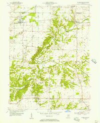 1955 Russellville1957 Print · USGSNorthwestern Putnam County in the mid-1950s is defined by the winding Raccoon Creek and the busy Baltimore and Ohio rail line. Genealogists and local historians can locate numerous family burial sites like Golder Cem and trace the original footprints of Russellville and Fincastle.
 - 1956 Map of Indianapolis
 1956 Indianapolis1956 Print · USGSCentral Indiana in the mid-fifties is captured during a period of industrial growth and military presence. Genealogists and historians can trace the rail networks of the New York Central or locate regional landmarks like Fort Benjamin Harrison and Camp Atterbury.
 - 1957 Map of Indianapolis
 1957 Indianapolis1957 Print · USGSCentral Indiana in the mid-fifties is captured here as a crossroads of major rail lines and nascent federal highways. Genealogists and historians can trace family-named ridges like Poplar Ridge or locate strategic sites like Camp Atterbury and Speedway.2 unique versions available
 - 1962 Map of Indianapolis
 1962 Indianapolis1962 Print · USGSCentral Indiana and the Illinois borderlands are captured here in the early sixties, showing the region's dense rail networks and growing urban centers. Genealogists and historians can locate family-named landmarks and institutions like Crown Hill Cem, Indiana University, and the Indianapolis Motor Speedway.
 - 1963 Map of Russellville, 1964 Print
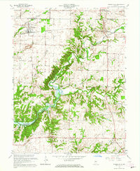 1963 Russellville1964 Print · USGSMid-century Putnam County and Montgomery County meet here in the early 1960s, showing a landscape defined by the Raccoon Creek valley. Genealogists can locate family names at Sutherlin Cem or James Cem and trace the original path of the Baltimore and Ohio railroad through Russellville.2 unique versions available
 - 1986 Map of Indianapolis
 1986 Indianapolis1986 Print · USGSThe Indiana capital and its surrounding counties are captured here in the mid-1980s, showcasing the height of its orbital highway development and suburban growth. Researchers can trace the legacy of the Fort Benjamin Harrison Military Reservation, follow the Conrail lines, or locate family roots in Beech Grove, Greencastle, and Zionsville.2 unique versions available
 - 2010 Map of Russellville, 2010 Print
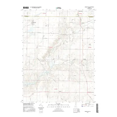
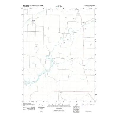 2010 Russellville2010 Print · USGSCovers Morton, including Russellville, Parkersburg, and other nearby areas
 - 2013 Map of Russellville, 2013 Print
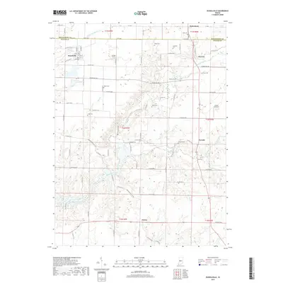
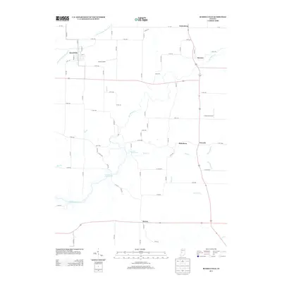 2013 Russellville2013 Print · USGSCovers Morton, including Russellville, Parkersburg, and other nearby areas
 - 2016 Map of Russellville, 2016 Print
 2016 Russellville2016 Print · USGSCovers Morton, including Russellville, Parkersburg, and other nearby areas
 - 2019 Map of Russellville, 2019 Print
 2019 Russellville2019 Print · USGSCovers Morton, including Russellville, Parkersburg, and other nearby areas
 - 2022 Map of Russellville, 2022 Print
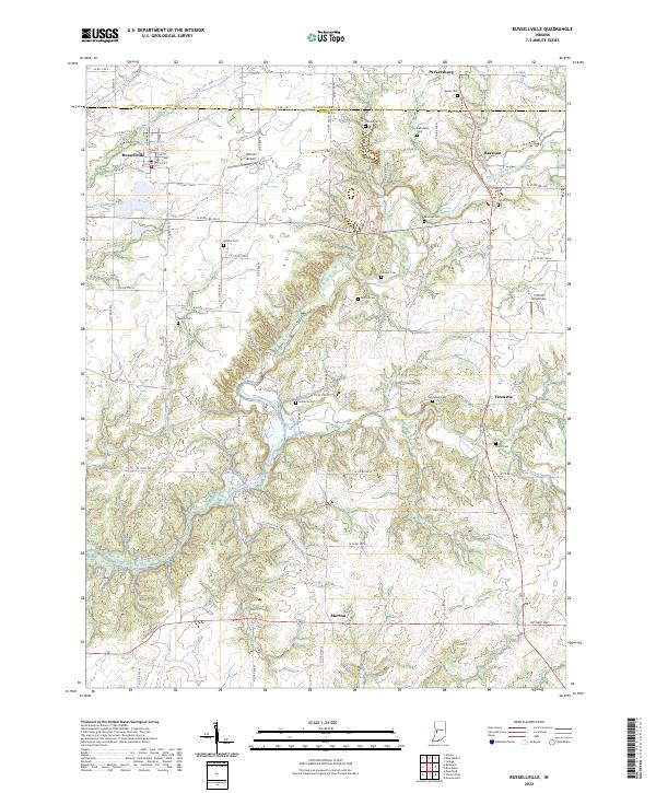 2022 Russellville2022 Print · USGSThe rural landscape of northwest Putnam County comes into focus here in the early 2020s, defined by the winding Big Raccoon Creek. Genealogists and historians can locate numerous family burial sites, including Hebron Cem, Sutherlin Cem, and Pickle Cem.
End of results
Showing maps 1-12 of 12
Top cities near Morton
- Greencastle historical maps
- Cloverdale historical maps
- Ladoga historical maps
- Roachdale historical maps
- New Market historical maps
- Harmony historical maps
See more
Frequently asked questions
- What are the different types of historical maps available for Morton?
- What is the oldest map of Morton?
- Where can I purchase historical maps of Morton for my home or office?
- Where can I download high-res historical maps of Morton?
- Are there historical topographic maps available for Morton?
- Is there historical aerial imagery available for Morton?
- Where are historical maps of Morton sourced from?