2000s (21st Century) Maps of Angola, Indiana
Explore 20 historic maps of Angola from the 2000s (21st Century). These maps offer a rare glimpse into what life looked like during the 2000s — showing old roads, neighborhoods, homes, and landmarks that have changed or disappeared over time.
Whether you're researching your family's past, planning a metal detecting trip, or studying how Angola's landscape evolved across the 2000s, these high-resolution maps are a powerful tool for exploring the history of this region.
- Focus on a specific era: All maps on this page are from the 2000s, giving you a focused view of this time period.
- See what’s changed: Compare century-old streets, trails, and buildings to today's modern landscape using overlays and satellite layers.
- Research with precision: Use these maps for genealogy, historical research, land use analysis, or educational projects.
- View, download, or print: Maps are fully viewable online in high resolution, and can be downloaded or printed for your own records.
Start exploring Angola's history through authentic maps from the 2000s. This is your window into the past.
Angola, IN maps
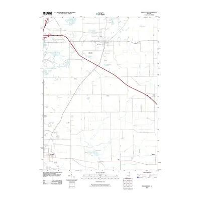
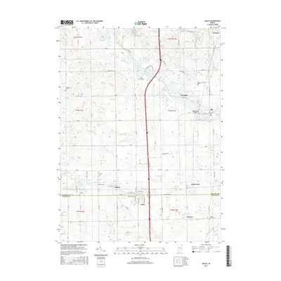
(20)- 2010 Map of Angola West, 2010 Print
 2010 Angola West2010 Print · USGSCovers Angola, including Jamestown, Panama, and other nearby areas
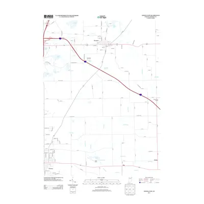
 - 2010 Map of Angola East, 2010 Print
 2010 Angola East2010 Print · USGSCovers Angola, including Fremont, Ellis, and other nearby areas
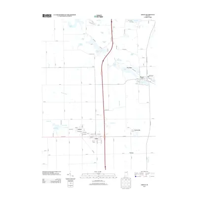
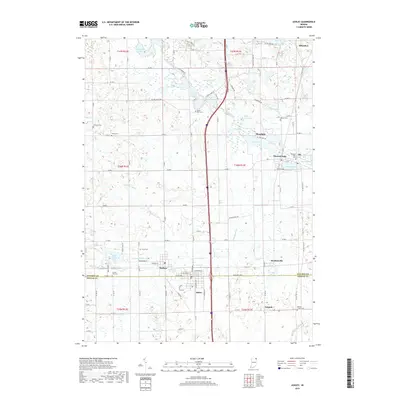
 - 2010 Map of Ashley, 2010 Print
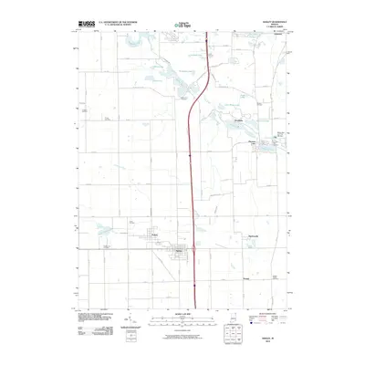 2010 Ashley2010 Print · USGSCovers Angola, including Ashley, Hudson, and other nearby areas
 - 2010 Map of Hamilton, 2010 Print
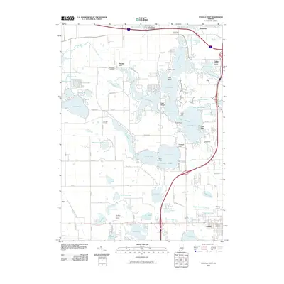
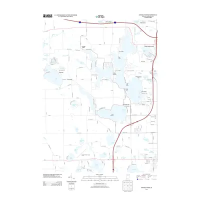
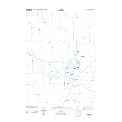
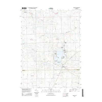
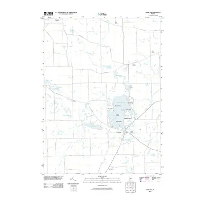 2010 Hamilton2010 Print · USGSCovers Angola, including Ravinia Oaks, Cold Springs, and other nearby areas
 - 2013 Map of Angola East, 2013 Print
 2013 Angola East2013 Print · USGSCovers Angola, including Fremont, Ellis, and other nearby areas
 - 2013 Map of Angola West, 2013 Print
 2013 Angola West2013 Print · USGSCovers Angola, including Jamestown, Panama, and other nearby areas
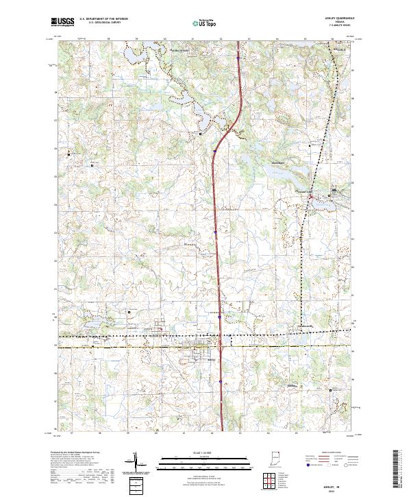
 - 2013 Map of Ashley, 2013 Print
 2013 Ashley2013 Print · USGSCovers Angola, including Ashley, Hudson, and other nearby areas
 - 2013 Map of Hamilton, 2013 Print
 2013 Hamilton2013 Print · USGSCovers Angola, including Ravinia Oaks, Cold Springs, and other nearby areas
 - 2016 Map of Ashley, 2016 Print
 2016 Ashley2016 Print · USGSCovers Angola, including Ashley, Hudson, and other nearby areas
 - 2016 Map of Angola West, 2016 Print
 2016 Angola West2016 Print · USGSCovers Angola, including Jamestown, Panama, and other nearby areas
 - 2016 Map of Hamilton, 2016 Print
 2016 Hamilton2016 Print · USGSCovers Angola, including Ravinia Oaks, Cold Springs, and other nearby areas
 - 2016 Map of Angola East, 2016 Print
 2016 Angola East2016 Print · USGSCovers Angola, including Fremont, Ellis, and other nearby areas
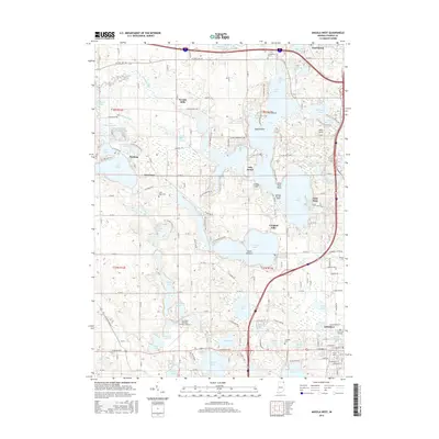
 - 2019 Map of Hamilton, 2019 Print
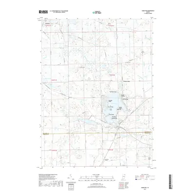 2019 Hamilton2019 Print · USGSCovers Angola, including Ravinia Oaks, Cold Springs, and other nearby areas
 - 2019 Map of Angola East, 2019 Print
 2019 Angola East2019 Print · USGSCovers Angola, including Fremont, Ellis, and other nearby areas
 - 2019 Map of Ashley, 2019 Print
 2019 Ashley2019 Print · USGSCovers Angola, including Ashley, Hudson, and other nearby areas
 - 2019 Map of Angola West, 2019 Print
 2019 Angola West2019 Print · USGSCovers Angola, including Jamestown, Panama, and other nearby areas
 - 2022 Map of Ashley, 2022 Print
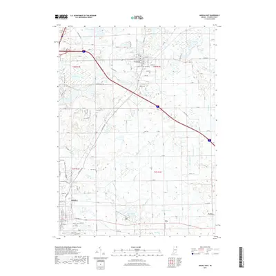
 2022 Ashley2022 Print · USGSThe borderlands of Steuben and DeKalb counties are shown in detail as they appeared in the early 2020s. Researchers can trace family history through several rural burial sites like Mount Zion Cem and Hollister Cem, or explore lakeside settlements such as Pleasant Lake and Hudson.
 - 2022 Map of Hamilton, 2022 Print
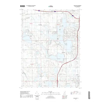
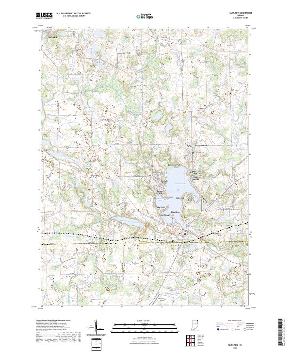 2022 Hamilton2022 Print · USGSThe lakeside communities of northeast Indiana are captured here in the early twenty-first century, centered on the expansive Hamilton Lake. Researchers can trace local genealogy through several rural burial grounds like Carter Cem and North Otsego Cem.
 - 2022 Map of Angola West, 2022 Print
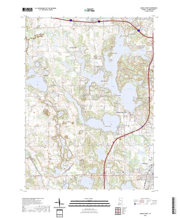 2022 Angola West2022 Print · USGSSteuben County is a labyrinth of glacial waters and resort communities in this modern survey. Researchers can trace family history through sites like Old Circle Hill Cem, the campus of Trine University, and historic locales like Nevada Mills and Flint.
 - 2022 Map of Angola East, 2022 Print
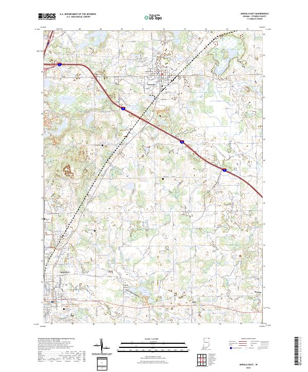 2022 Angola East2022 Print · USGSSteuben County in the early 2020s shows a landscape where historic farmsteads and glacial lakes meet modern infrastructure. Genealogists and hikers can trace the paths of the Mcclue Nature Preserve Trails Trl or locate family plots at The Old Cem and Lakeside Cem.
End of results
Showing maps 1-20 of 20
Top cities near Angola
- Kendallville historical maps
- Jamestown historical maps
- Butler historical maps
- Bronson historical maps
- Waterloo historical maps
- Algansee historical maps
See more
Frequently asked questions
- What are the different types of historical maps available for Angola?
- What is the oldest map of Angola?
- Where can I purchase historical maps of Angola for my home or office?
- Where can I download high-res historical maps of Angola?
- Are there historical topographic maps available for Angola?
- Is there historical aerial imagery available for Angola?
- Where are historical maps of Angola sourced from?