Old Maps of Battle Ground, Indiana for Academic Research
Study the evolution of Battle Ground with 18 high-resolution historic maps. Whether you're teaching, researching, or modeling changes in land use, these maps provide essential visual documentation of urban, environmental, and geographic change.
- Analyze long-term change: Track patterns in development, transportation, and natural features.
- Ideal for environmental or urban studies: Support academic projects with primary historical map data.
- Use in the classroom or lab: Educators and researchers rely on these maps to bring historical context to life.
These maps are a powerful tool for teaching, research, and visualizing how Battle Ground has changed over the decades.
Battle Ground, IN maps
(18)- 1953 Map of Danville, 1965 Print
 1953 Danville1965 Print · USGSIndiana and Illinois crossroads come to life in this mid-century survey as the interstate era begins to reshape the river-and-rail landscape. Genealogists and collectors can trace the historic paths of the Nickel Plate railroad or locate smaller communities like Veedersburg, Goodland, and Bismarck.3 unique versions available
 - 1955 Map of Danville
 1955 Danville1955 Print · USGSThe Indiana-Illinois borderlands during the mid-fifties reveal a landscape of thriving rail hubs and university towns. Researchers can trace the legacy of Purdue University, the Tippecanoe Battlefield, and the path of the Pennsylvania RR.
 - 1956 Map of Danville
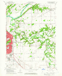
 1956 Danville1956 Print · USGSMid-century Indiana and Illinois are captured here as the river-and-rail economy evolved into the modern highway era. Researchers can trace ancestral roots and old transport lines through Logansport, Battle Ground, and the dams at Lake Shafer.
 - 1961 Map of Lafayette East, 1962 Print
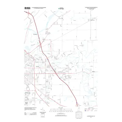
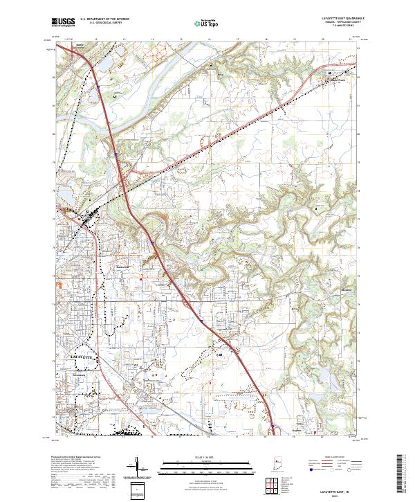
 1961 Lafayette East1962 Print · USGSLafayette's eastern edge and the Wabash River valley are captured here just as mid-century suburban expansion reached into the surrounding townships. Genealogists and local researchers can trace long-standing landmarks like St Boniface Cemetery, Cary Camp, and the rail junction at Altamont Switch.5 unique versions available
 - 1962 Map of Brookston, 1987 Print
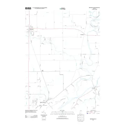
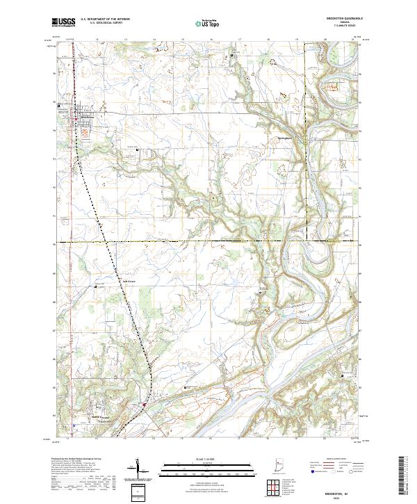
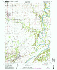 1962 Brookston1987 Print · USGSIndiana’s river country comes to life in the early sixties as the Tippecanoe River meets the Wabash. Genealogists and historians can trace family burial plots like Pretty Prairie Cem and explore the historic Tippecanoe Battlefield Memorial.2 unique versions available
 - 1984 Map of Lafayette, 1985 Print
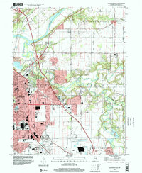
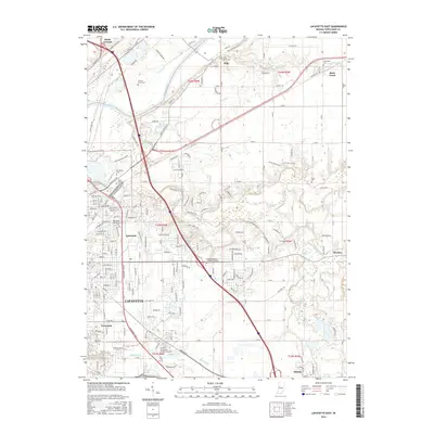
 1984 Lafayette1985 Print · USGSNorth-central Indiana thrives in the 1980s as a hub of higher education, industry, and agriculture centered on the Wabash River. Genealogists and historians can locate family sites near Darrough Chapel, Oak Hill Cem, or the small crossroads of Thorntown and Colfax.2 unique versions available
 - 1985 Map of Logansport
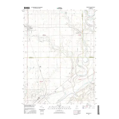
 1985 Logansport1985 Print · USGSNorth-central Indiana in the mid-eighties shows a landscape of river-fed towns and significant military aviation hubs. Genealogists and local historians can trace the rail corridors of the Conrail or locate sites like River View Cem and the crossroads at Twelve Mile.2 unique versions available
 - 1998 Map of Lafayette East, 2001 Print
 1998 Lafayette East2001 Print · USGSLafayette was rapidly expanding eastward toward the end of the century, merging modern suburban developments with historic river valley terrain. Genealogists and local historians can trace legacy sites like Springvale Cemetery, Bethany Ch, and several rural schools.
 - 2010 Map of Lafayette East, 2010 Print
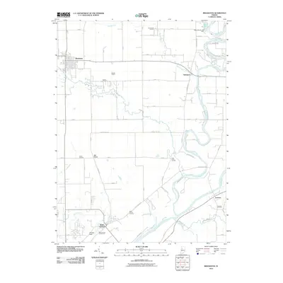
 2010 Lafayette East2010 Print · USGSCovers Battle Ground, including Lafayette, Dayton, and other nearby areas
 - 2010 Map of Brookston, 2010 Print
 2010 Brookston2010 Print · USGSCovers Battle Ground, including Brookston, Ash Grove, and other nearby areas
 - 2013 Map of Lafayette East, 2013 Print
 2013 Lafayette East2013 Print · USGSCovers Battle Ground, including Lafayette, Dayton, and other nearby areas
 - 2013 Map of Brookston, 2013 Print
 2013 Brookston2013 Print · USGSCovers Battle Ground, including Brookston, Ash Grove, and other nearby areas
 - 2016 Map of Lafayette East, 2016 Print
 2016 Lafayette East2016 Print · USGSCovers Battle Ground, including Lafayette, Dayton, and other nearby areas
 - 2016 Map of Brookston, 2016 Print
 2016 Brookston2016 Print · USGSCovers Battle Ground, including Brookston, Ash Grove, and other nearby areas
 - 2019 Map of Brookston, 2019 Print
 2019 Brookston2019 Print · USGSCovers Battle Ground, including Brookston, Ash Grove, and other nearby areas
 - 2019 Map of Lafayette East, 2019 Print
 2019 Lafayette East2019 Print · USGSCovers Battle Ground, including Lafayette, Dayton, and other nearby areas
 - 2022 Map of Brookston, 2022 Print
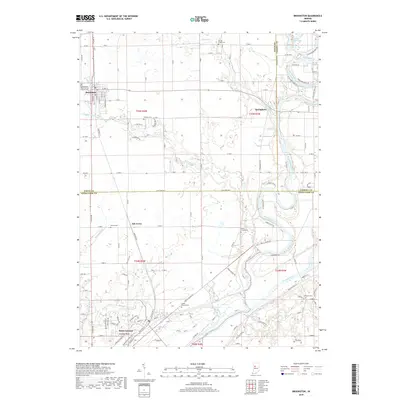
 2022 Brookston2022 Print · USGSThe river valleys of White and Tippecanoe Counties come into focus in the early 2020s, showing the agricultural plains meeting the water. Researchers can locate numerous family cemeteries and local landmarks like Prophet Rock, Battle Ground, and the Independent Order of Odd Fellows Cem.
 - 2022 Map of Lafayette East, 2022 Print
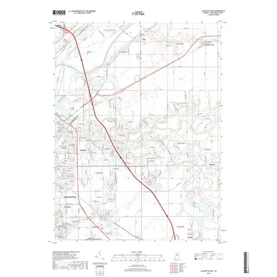
 2022 Lafayette East2022 Print · USGSTippecanoe County is documented here in the early 2020s, showing the modern footprint of LAFAYETTE as it expands toward Monitor and Eastwitch. Researchers can trace the placement of local landmarks like Spring Vale Cem and the Ivy Tech Community College.
End of results
Showing maps 1-18 of 18
Top cities near Battle Ground
- Lafayette historical maps
- West Lafayette historical maps
- Monticello historical maps
- Delphi historical maps
- Shadeland historical maps
- Brookston historical maps
See more
Frequently asked questions
- What are the different types of historical maps available for Battle Ground?
- What is the oldest map of Battle Ground?
- Where can I purchase historical maps of Battle Ground for my home or office?
- Where can I download high-res historical maps of Battle Ground?
- Are there historical topographic maps available for Battle Ground?
- Is there historical aerial imagery available for Battle Ground?
- Where are historical maps of Battle Ground sourced from?