2000s (21st Century) Maps of Evansville, Indiana
Explore 25 historic maps of Evansville from the 2000s (21st Century). These maps offer a rare glimpse into what life looked like during the 2000s — showing old roads, neighborhoods, homes, and landmarks that have changed or disappeared over time.
Whether you're researching your family's past, planning a metal detecting trip, or studying how Evansville's landscape evolved across the 2000s, these high-resolution maps are a powerful tool for exploring the history of this region.
- Focus on a specific era: All maps on this page are from the 2000s, giving you a focused view of this time period.
- See what’s changed: Compare century-old streets, trails, and buildings to today's modern landscape using overlays and satellite layers.
- Research with precision: Use these maps for genealogy, historical research, land use analysis, or educational projects.
- View, download, or print: Maps are fully viewable online in high resolution, and can be downloaded or printed for your own records.
Start exploring Evansville's history through authentic maps from the 2000s. This is your window into the past.
Evansville, IN maps
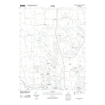
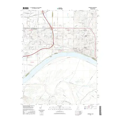
(25)- 2010 Map of Daylight, 2010 Print
 2010 Daylight2010 Print · USGSCovers Evansville, including Chandler, Elliott, and other nearby areas
 - 2010 Map of Evansville North, 2010 Print
 2010 Evansville North2010 Print · USGSCovers Evansville, including Darmstadt, McCutchanville, and other nearby areas
 - 2010 Map of Newburgh, 2010 Print
 2010 Newburgh2010 Print · USGSCovers Evansville, including Newburgh, Paradise, and other nearby areas
 - 2010 Map of West Franklin, 2010 Print
 2010 West Franklin2010 Print · USGSCovers Evansville, including Philip Station, West Franklin, and other nearby areas
 - 2010 Map of Evansville South, 2010 Print
 2010 Evansville South2010 Print · USGSCovers Evansville, including Henderson, White City, and other nearby areas
 - 2013 Map of Daylight, 2013 Print
 2013 Daylight2013 Print · USGSCovers Evansville, including Chandler, Elliott, and other nearby areas
 - 2013 Map of Evansville North, 2013 Print
 2013 Evansville North2013 Print · USGSCovers Evansville, including Darmstadt, McCutchanville, and other nearby areas
 - 2013 Map of Newburgh, 2013 Print
 2013 Newburgh2013 Print · USGSCovers Evansville, including Newburgh, Paradise, and other nearby areas
 - 2013 Map of Evansville South, 2013 Print
 2013 Evansville South2013 Print · USGSCovers Evansville, including Henderson, White City, and other nearby areas
 - 2013 Map of West Franklin, 2013 Print
 2013 West Franklin2013 Print · USGSCovers Evansville, including Philip Station, West Franklin, and other nearby areas
 - 2016 Map of West Franklin, 2016 Print
 2016 West Franklin2016 Print · USGSCovers Evansville, including Philip Station, West Franklin, and other nearby areas
 - 2016 Map of Newburgh, 2016 Print
 2016 Newburgh2016 Print · USGSCovers Evansville, including Newburgh, Paradise, and other nearby areas
 - 2016 Map of Evansville South, 2016 Print
 2016 Evansville South2016 Print · USGSCovers Evansville, including Henderson, White City, and other nearby areas
 - 2016 Map of Evansville North, 2016 Print
 2016 Evansville North2016 Print · USGSCovers Evansville, including Darmstadt, McCutchanville, and other nearby areas
 - 2016 Map of Daylight, 2016 Print
 2016 Daylight2016 Print · USGSCovers Evansville, including Chandler, Elliott, and other nearby areas
 - 2019 Map of West Franklin, 2019 Print
 2019 West Franklin2019 Print · USGSCovers Evansville, including Philip Station, West Franklin, and other nearby areas
 - 2019 Map of Evansville South, 2019 Print
 2019 Evansville South2019 Print · USGSCovers Evansville, including Henderson, White City, and other nearby areas
 - 2019 Map of Newburgh, 2019 Print
 2019 Newburgh2019 Print · USGSCovers Evansville, including Newburgh, Paradise, and other nearby areas
 - 2019 Map of Evansville North, 2019 Print
 2019 Evansville North2019 Print · USGSCovers Evansville, including Darmstadt, McCutchanville, and other nearby areas
 - 2019 Map of Daylight, 2019 Print
 2019 Daylight2019 Print · USGSCovers Evansville, including Chandler, Elliott, and other nearby areas
 - 2022 Map of Evansville North, 2022 Print
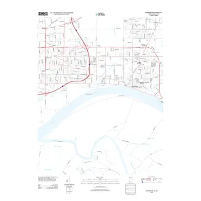
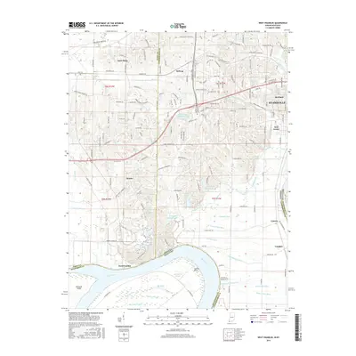
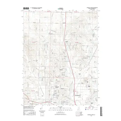
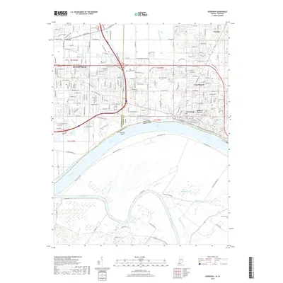
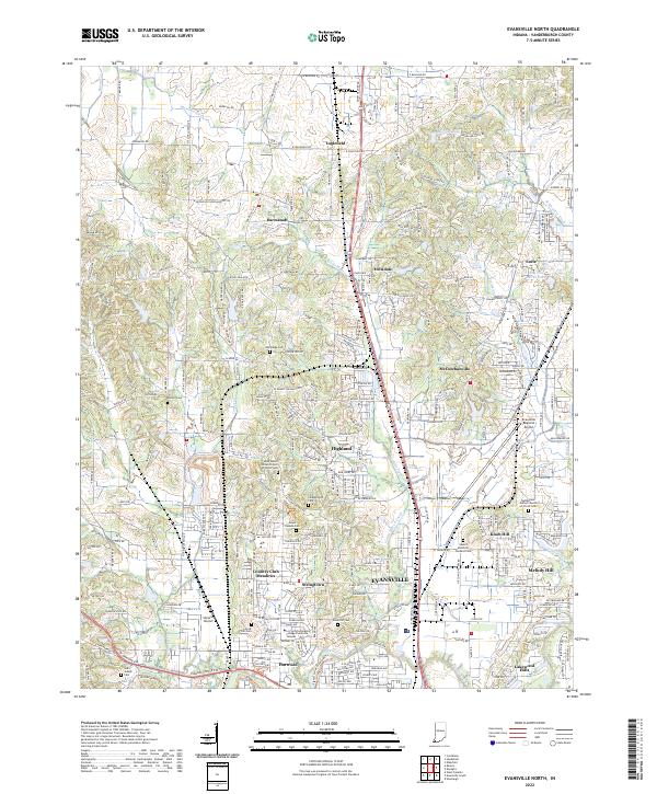 2022 Evansville North2022 Print · USGSNorth of the city in the early 2020s, this area shows a dense network of suburban growth and historic community centers. Researchers can trace family roots through numerous sites like Rose Hill Cem or Mount Carmel Cem, and locate landmarks like the Skylane Airport.
 - 2022 Map of West Franklin, 2022 Print
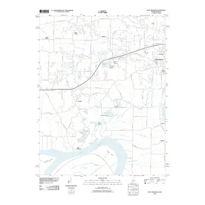
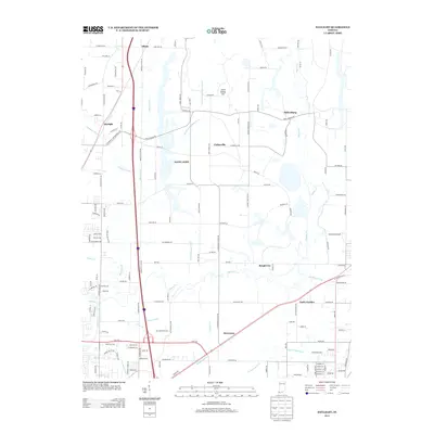
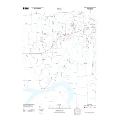
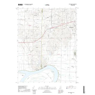
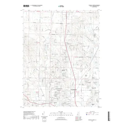
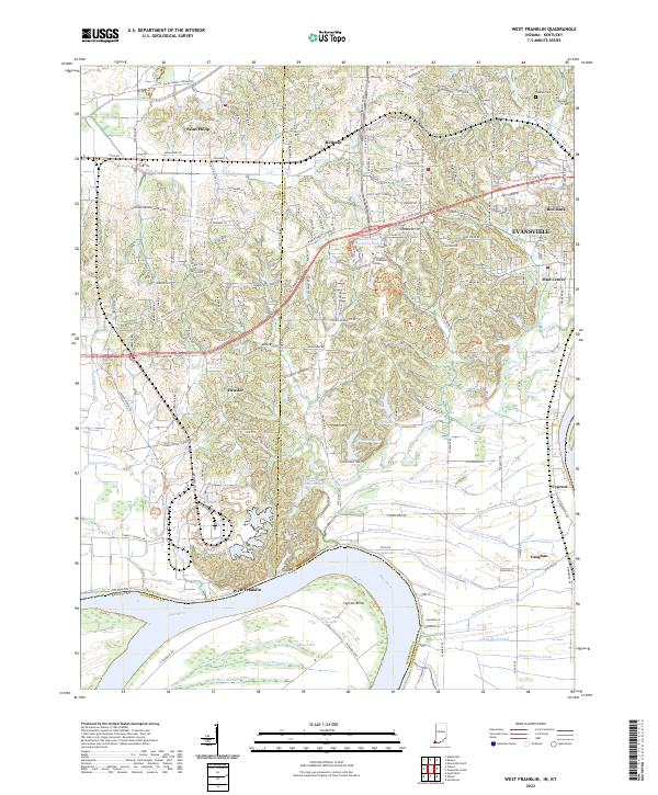 2022 West Franklin2022 Print · USGSThe Indiana-Kentucky borderlands along the Ohio River appear here in their modern agricultural and academic context. Local historians can trace family-named sites and rural settlements like Saint Philip, West Franklin, and Tupman Cem near the river's edge.
 - 2022 Map of Evansville South, 2022 Print
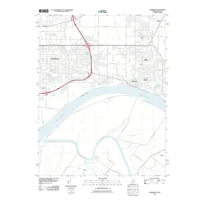
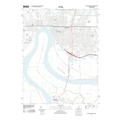
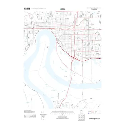
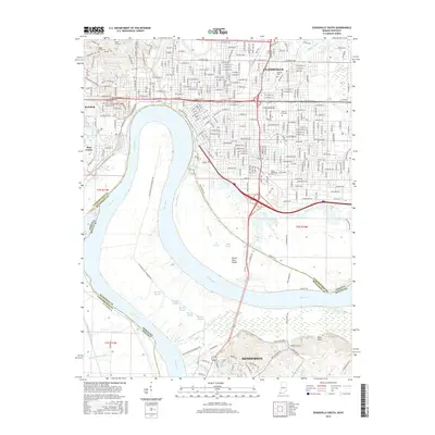
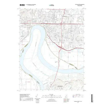
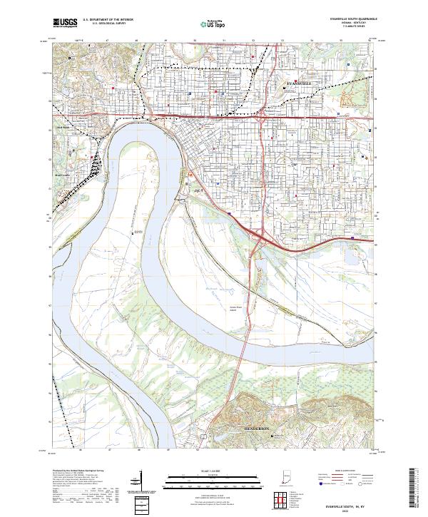 2022 Evansville South2022 Print · USGSEvansville and Henderson share this riverfront landscape at the state line during the early twenty-first century. Researchers can trace the urban development near the Vanderburgh County Courthouse and historical burials at Mount Sinai Cem or Horseshoe Bend Cem.
 - 2022 Map of Newburgh, 2022 Print
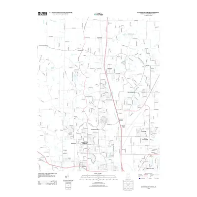
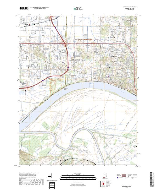 2022 Newburgh2022 Print · USGSGreater Newburgh and eastern Evansville appear here at the bend of the Ohio River during the early 2020s. Researchers can trace family history at Rose Hill Cem and Sharon Cem or locate the Trinity College of the Bible and Trinity Theological Seminary.
 - 2023 Map of Daylight, 2023 Print
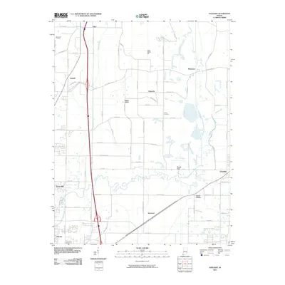
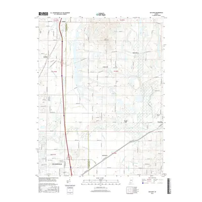
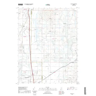
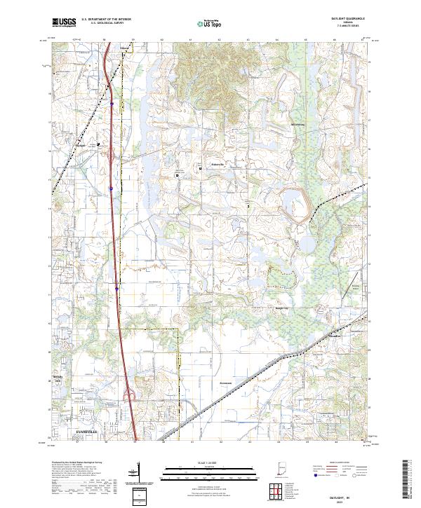 2023 Daylight2023 Print · USGSSouthwestern Indiana's rural landscape is captured here just north of Evansville, where agriculture and small settlements meet a complex network of drainage ditches. Researchers can trace family history at Blue Grass Church Cem, Zoar Cem, and Asbury Cem, or locate the historic sites of Daylight and Fisherville.
End of results
Showing maps 1-25 of 25
Top cities near Evansville
- Henderson historical maps
- Boonville historical maps
- Newburgh historical maps
- Chandler historical maps
- Armstrong historical maps
- Haubstadt historical maps
See more
Top neighborhoods of Evansville
- Highland historical maps
- Kratzville historical maps
- Mud Center historical maps
- Red Bank historical maps
- Smythe historical maps
- Erskine Station historical maps
See more
Frequently asked questions
- What are the different types of historical maps available for Evansville?
- What is the oldest map of Evansville?
- Where can I purchase historical maps of Evansville for my home or office?
- Where can I download high-res historical maps of Evansville?
- Are there historical topographic maps available for Evansville?
- Is there historical aerial imagery available for Evansville?
- Where are historical maps of Evansville sourced from?