Old Maps of Keller, Indiana for Academic Research
Study the evolution of Keller with 13 high-resolution historic maps. Whether you're teaching, researching, or modeling changes in land use, these maps provide essential visual documentation of urban, environmental, and geographic change.
- Analyze long-term change: Track patterns in development, transportation, and natural features.
- Ideal for environmental or urban studies: Support academic projects with primary historical map data.
- Use in the classroom or lab: Educators and researchers rely on these maps to bring historical context to life.
These maps are a powerful tool for teaching, research, and visualizing how Keller has changed over the decades.
Keller, IN maps
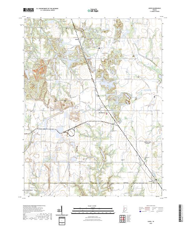
(13)- 1940 Map of Lewis
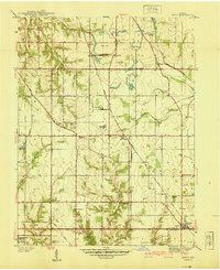 1940 Lewis1940 Print · USGSVigo and Sullivan counties are shown here just before the Second World War as coal mining and rail transport shaped the local economy. Researchers can trace family history through sites like Smith Cem or locate industrial landmarks like the Blackhawk Mine and Brown Jug Corner.
 - 1952 Map of Lewis, 1953 Print
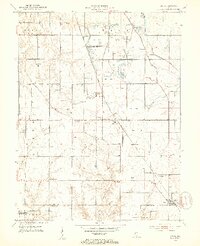 1952 Lewis1953 Print · USGSVigo and Sullivan counties during the early fifties reveal a landscape transitioning from the canal era to an intensive mining economy. Genealogists and local historians can trace family roots through numerous landmarks like Fletcher Chapel, Stephens Cem, and the settlement of Lewis.2 unique versions available
 - 1953 Map of Indianapolis, 1965 Print
 1953 Indianapolis1965 Print · USGSCentral Indiana and the Illinois borderlands are captured in the mid-sixties, showing the growth of Indianapolis and its industrial rail corridors. Genealogists and historians can trace the development of outlying towns like Zionsville or Beech Grove and find landmarks such as Atterbury AAF and Turkey Run State Park.4 unique versions available
 - 1956 Map of Indianapolis
 1956 Indianapolis1956 Print · USGSCentral Indiana in the mid-fifties is captured during a period of industrial growth and military presence. Genealogists and historians can trace the rail networks of the New York Central or locate regional landmarks like Fort Benjamin Harrison and Camp Atterbury.
 - 1957 Map of Indianapolis
 1957 Indianapolis1957 Print · USGSCentral Indiana in the mid-fifties is captured here as a crossroads of major rail lines and nascent federal highways. Genealogists and historians can trace family-named ridges like Poplar Ridge or locate strategic sites like Camp Atterbury and Speedway.2 unique versions available
 - 1962 Map of Indianapolis
 1962 Indianapolis1962 Print · USGSCentral Indiana and the Illinois borderlands are captured here in the early sixties, showing the region's dense rail networks and growing urban centers. Genealogists and historians can locate family-named landmarks and institutions like Crown Hill Cem, Indiana University, and the Indianapolis Motor Speedway.
 - 1963 Map of Lewis, 1965 Print
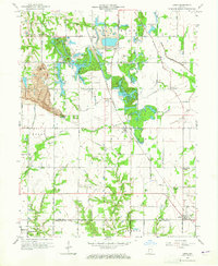 1963 Lewis1965 Print · USGSThe Vigo and Sullivan County line near Lewis shows a landscape defined by coal and transit in the mid-1960s. Genealogists and historians can trace the Wabash and Erie Canal route, old schools, and country churches like Fletcher Chapel and Union Ch.3 unique versions available
 - 1986 Map of Terre Haute
 1986 Terre Haute1986 Print · USGSThe Wabash River valley and the coal-rich hills of West-Central Indiana and East-Central Illinois are shown here in the mid-eighties. Genealogists and local historians can trace family-named corners like Barrick Corner, find rural churches like New Hope Ch, and locate industrial landmarks such as the Thunderbird Mine.2 unique versions available
 - 2010 Map of Lewis, 2010 Print
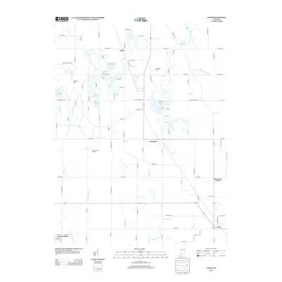
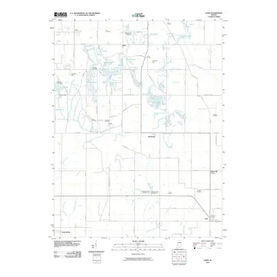 2010 Lewis2010 Print · USGSCovers Keller, including Farmersburg, Lewis, and other nearby areas
 - 2013 Map of Lewis, 2013 Print
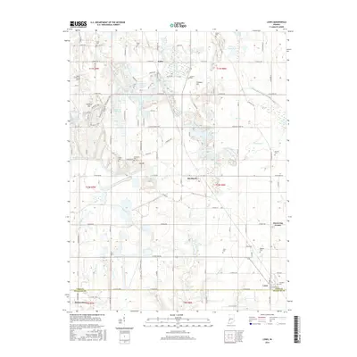
 2013 Lewis2013 Print · USGSCovers Keller, including Farmersburg, Lewis, and other nearby areas
 - 2016 Map of Lewis, 2016 Print
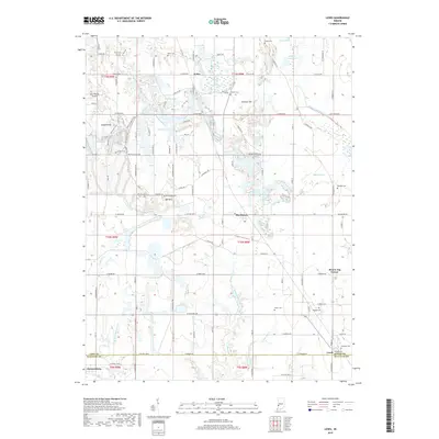
 2016 Lewis2016 Print · USGSCovers Keller, including Farmersburg, Lewis, and other nearby areas
 - 2019 Map of Lewis, 2019 Print
 2019 Lewis2019 Print · USGSCovers Keller, including Farmersburg, Lewis, and other nearby areas
 - 2022 Map of Lewis, 2022 Print
 2022 Lewis2022 Print · USGSVigo County rural life and old transportation corridors are preserved here in the early twenty-first century. Family history researchers can locate numerous burial sites like Liberty Cem and Armstrong Cem or trace the historic path of the Wabash and Erie Canal.
End of results
Showing maps 1-13 of 13
Top cities near Keller
- Terre Haute historical maps
- Brazil historical maps
- Jasonville historical maps
- West Terre Haute historical maps
- Prairieton historical maps
- Prairie Creek historical maps
See more
Frequently asked questions
- What are the different types of historical maps available for Keller?
- What is the oldest map of Keller?
- Where can I purchase historical maps of Keller for my home or office?
- Where can I download high-res historical maps of Keller?
- Are there historical topographic maps available for Keller?
- Is there historical aerial imagery available for Keller?
- Where are historical maps of Keller sourced from?