Old Maps of Boonville, Indiana for Academic Research
Study the evolution of Boonville with 20 high-resolution historic maps. Whether you're teaching, researching, or modeling changes in land use, these maps provide essential visual documentation of urban, environmental, and geographic change.
- Analyze long-term change: Track patterns in development, transportation, and natural features.
- Ideal for environmental or urban studies: Support academic projects with primary historical map data.
- Use in the classroom or lab: Educators and researchers rely on these maps to bring historical context to life.
These maps are a powerful tool for teaching, research, and visualizing how Boonville has changed over the decades.
Boonville, IN maps
(20)- 1900 Map of De Gonia Springs, 1963 Print
 1900 De Gonia Springs1963 Print · USGSSouthern Indiana at the turn of the century shows a landscape of rail-dependent towns and mineral spring resorts across Warrick and Spencer counties. Genealogists and historians can trace the early layouts of De Gonia Springs, Folsomville, and Tennyson along the SOUTHERN railroad lines.
 - 1902 Map of Ditney
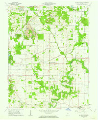
 1902 Ditney1902 Print · USGSSouthern Indiana at the start of the century was a landscape of expanding railroads and rural hamlets. Family historians can trace ancestral roots through dozens of small settlements like Coats Springs, Dongola, and Boonville along the Southern RR.3 unique versions available
 - 1902 Map of Degonia Springs
 1902 Degonia Springs1902 Print · USGSSouthwestern Indiana is captured here at the turn of the century as the rail network linked the region's mineral springs and rural townships. Genealogists can trace the early layout of Degonia Springs, Folsomville, and Gentryville along the SOUTHERN railroad lines.2 unique versions available
 - 1902 Map of Boonville
 1902 Boonville1902 Print · USGSWarrick and Gibson Counties at the opening of the twentieth century reveal a landscape of evolving transport and established rural life. Trace the path of the Wabash and Erie Canal or locate family roots in Boonville, Millersburg, and Lynnville.4 unique versions available
 - 1956 Map of Vincennes, 1967 Print
 1956 Vincennes1967 Print · USGSSouthern Indiana and the Illinois borderlands are captured here in the mid-fifties, showing the region's dense network of river towns and rail lines. Researchers can trace historic river crossings along the Wabash River or locate landmarks like Wyandotte Cave and Lincoln State Park.4 unique versions available
 - 1957 Map of Vincennes
 1957 Vincennes1957 Print · USGSSouthwest Indiana and the Illinois borderlands come alive in the late 1950s, a period of heavy rail traffic and expanding state forests. Genealogists and historians can trace the riverfronts and rail lines of Vincennes, New Harmony, and the vast Crane Naval Ammunition Depot.
 - 1958 Map of Vincennes
 1958 Vincennes1958 Print · USGSSouthern Indiana and the Illinois borderlands are captured during a mid-century period of heavy rail traffic and military activity. Researchers can trace the sprawling bounds of the Crane Naval Ammunition Depot or locate historic settlements like New Harmony and French Lick.2 unique versions available
 - 1960 Map of De Gonia Springs, 1962 Print
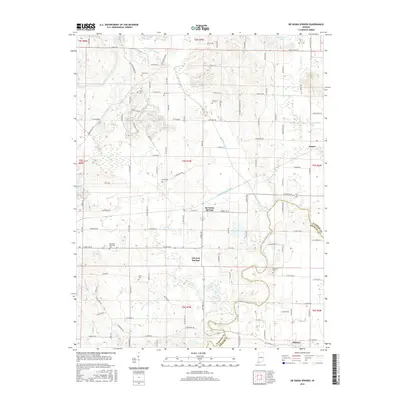
 1960 De Gonia Springs1962 Print · USGSWarrick and Spencer counties are shown at the height of the mid-century mining era, as traditional farmsteads met expanding industrial footprints. Genealogists can trace family landmarks like Skelton Cems, Bethabara Ch, and the distinct settlements of De Gonia Springs and Degonia.2 unique versions available
 - 1961 Map of Boonville, 1963 Print
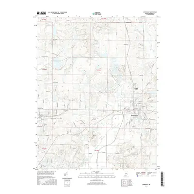
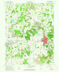 1961 Boonville1963 Print · USGSWarrick County during the early sixties reveals a landscape of industrial strip mining and established small-town centers. Genealogists and local historians can trace the foundations of Boonville and Chandler alongside landmarks like St Clements Sch and Maple Grove Cem.3 unique versions available
 - 1986 Map of Princeton
 1986 Princeton1986 Print · USGSSouthwestern Indiana is defined by the confluence of the Wabash and White Rivers during the mid-eighties, a period of established rail lines and expanding interstates. Genealogists and historians can trace property locations across numerous townships or locate family sites in Mount Carmel, Poseyville, and Boonville.2 unique versions available
 - 2010 Map of De Gonia Springs, 2010 Print
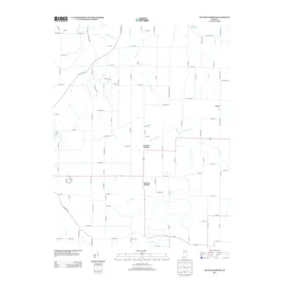
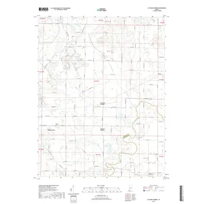
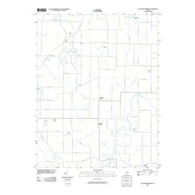 2010 De Gonia Springs2010 Print · USGSCovers Boonville, including Ash Iron Springs, De Gonia Springs, and other nearby areas
 - 2010 Map of Boonville, 2010 Print
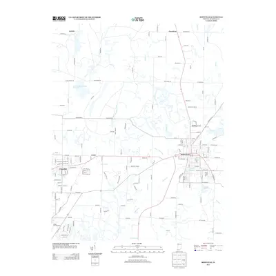
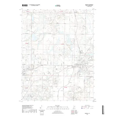
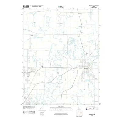 2010 Boonville2010 Print · USGSCovers Boonville, including Chandler, Rolling Acres, and other nearby areas
 - 2013 Map of Boonville, 2013 Print
 2013 Boonville2013 Print · USGSCovers Boonville, including Chandler, Rolling Acres, and other nearby areas
 - 2013 Map of De Gonia Springs, 2013 Print
 2013 De Gonia Springs2013 Print · USGSCovers Boonville, including Ash Iron Springs, De Gonia Springs, and other nearby areas
 - 2016 Map of De Gonia Springs, 2016 Print
 2016 De Gonia Springs2016 Print · USGSCovers Boonville, including Ash Iron Springs, De Gonia Springs, and other nearby areas
 - 2016 Map of Boonville, 2016 Print
 2016 Boonville2016 Print · USGSCovers Boonville, including Chandler, Rolling Acres, and other nearby areas
 - 2019 Map of De Gonia Springs, 2019 Print
 2019 De Gonia Springs2019 Print · USGSCovers Boonville, including Ash Iron Springs, De Gonia Springs, and other nearby areas
 - 2019 Map of Boonville, 2019 Print
 2019 Boonville2019 Print · USGSCovers Boonville, including Chandler, Rolling Acres, and other nearby areas
 - 2022 Map of De Gonia Springs, 2022 Print
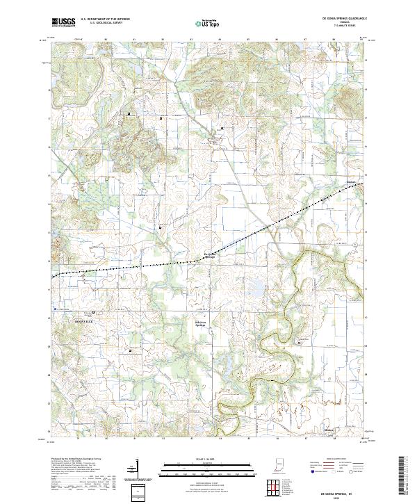 2022 De Gonia Springs2022 Print · USGSThe rural landscapes of Warrick and Spencer counties come into focus in this early twenty-first-century survey. Genealogists and local historians can trace family land near De Gonia Springs, Ash Iron Springs, and the waters of Little Pigeon Creek.
 - 2023 Map of Boonville, 2023 Print
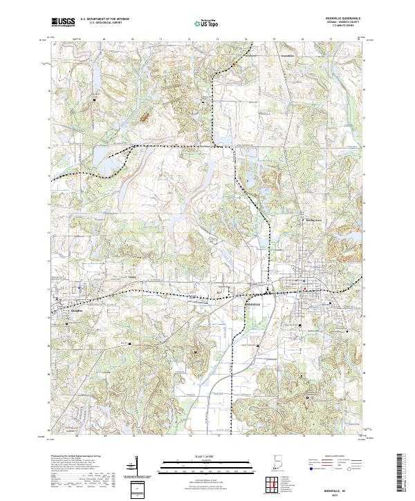 2023 Boonville2023 Print · USGSBoonville and the surrounding Warrick County countryside appear here in a detailed contemporary survey. Researchers can trace numerous family burial grounds including Crossroads Cem, explore the town of Chandler, and locate landmarks like City Lake Number One.
End of results
Showing maps 1-20 of 20
Top cities near Boonville
- Evansville historical maps
- Newburgh historical maps
- Chandler historical maps
- Rockport historical maps
- Lynnville historical maps
- Elberfeld historical maps
See more
Frequently asked questions
- What are the different types of historical maps available for Boonville?
- What is the oldest map of Boonville?
- Where can I purchase historical maps of Boonville for my home or office?
- Where can I download high-res historical maps of Boonville?
- Are there historical topographic maps available for Boonville?
- Is there historical aerial imagery available for Boonville?
- Where are historical maps of Boonville sourced from?