Old Maps of Whitewater, Indiana for Hiking & Exploration
Hike through history with 11 historic maps of Whitewater. Explore old trails, ghost towns, and forgotten backroads — perfect for outdoor adventurers and local explorers.
- Rediscover forgotten places: Map out old mining camps, roads, and footpaths that no longer exist on modern maps.
- Layer with modern tools: Combine with LiDAR or satellite views to plan hikes through historical terrain.
- Made for exploration: Popular among hikers, overlanders, and local history lovers.
Use these maps to find adventure and explore the hidden past of Whitewater.
Whitewater, IN maps
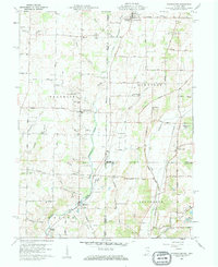
(11)- 1915 Map of New Paris
 1915 New Paris1915 Print · USGSThe Indiana-Ohio borderlands at the onset of the Great War reveal a landscape of thriving rail hubs and pioneer roads. Genealogists and researchers can trace the early layouts of Hollansburg, Campbellstown, and Sunbeam, or follow the path of the historic National Road.
 - 1918 Map of New Paris, 1922 Print
 1918 New Paris1922 Print · USGSThe Indiana-Ohio border during the First World War reveals a landscape defined by pioneering electric railways and historic transit corridors. Genealogists and historians can trace the growth of New Paris and Hollansburg, or locate small communities like Sunbeam and Cedar Springs.
 - 1953 Map of Cincinnati, 1965 Print
 1953 Cincinnati1965 Print · USGSThe Ohio River valley and the industrial heartland of Indiana and Ohio are captured here during the mid-century peak of rail and river commerce. Genealogists and historians can trace connections between Cincinnati and outlying military sites like Camp Atterbury and Bakalar AFB.3 unique versions available
 - 1957 Map of Cincinnati
 1957 Cincinnati1957 Print · USGSThe Ohio River valley and its surrounding highlands thrived during the mid-fifties industrial peak, centered on the bustling Cincinnati and Dayton metropolitan hubs. Researchers can trace the extensive rail networks and military sites like Wright-Patterson AFB and Camp Atterbury.
 - 1960 Map of Whitewater, 1961 Print
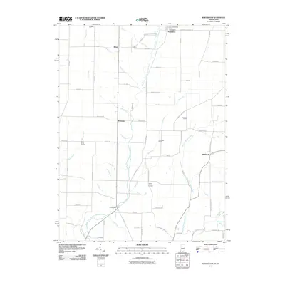
 1960 Whitewater1961 Print · USGSThe Indiana-Ohio borderlands at the start of the sixties reveal a landscape of thriving crossroads and river-valley farms. Genealogists can trace family footprints through the Middleboro settlement, Friendship Ch, and several rural burial grounds like Bethel Cem.3 unique versions available
 - 1986 Map of Dayton
 1986 Dayton1986 Print · USGSThe Miami Valley and the Indiana-Ohio borderlands reached a peak of suburban and industrial connectivity in the mid-eighties. Genealogists and historians can trace family burial sites at Miami Memorial Garden (Cem) and the development surrounding Wright-Patterson Air Force Base.2 unique versions available
 - 2010 Map of Whitewater, 2010 Print
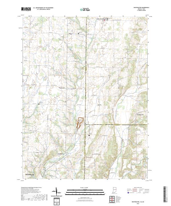
 2010 Whitewater2010 Print · USGSCovers Whitewater, including Richmond, Hollansburg, and other nearby areas
 - 2013 Map of Whitewater, 2013 Print
 2013 Whitewater2013 Print · USGSCovers Whitewater, including Richmond, Hollansburg, and other nearby areas
 - 2016 Map of Whitewater, 2016 Print
 2016 Whitewater2016 Print · USGSCovers Whitewater, including Richmond, Hollansburg, and other nearby areas
 - 2019 Map of Whitewater, 2019 Print
 2019 Whitewater2019 Print · USGSCovers Whitewater, including Richmond, Hollansburg, and other nearby areas
 - 2022 Map of Whitewater, 2022 Print
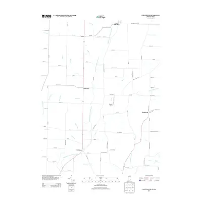
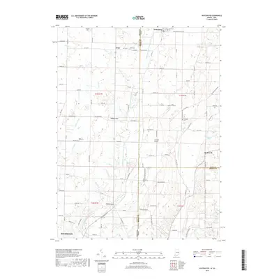
 2022 Whitewater2022 Print · USGSSettlement and agriculture define this Indiana-Ohio borderland in the early twenty-first century. Genealogists can locate family landmarks like Mount Vernon Cem and Pleasant Hill Cem, or trace the paths of Whitewater and Middleboro.
End of results
Showing maps 1-11 of 11
Top cities near Whitewater
- Richmond historical maps
- Greenville historical maps
- Eaton historical maps
- Winchester historical maps
- Centerville historical maps
- New Paris historical maps
See more
Frequently asked questions
- What are the different types of historical maps available for Whitewater?
- What is the oldest map of Whitewater?
- Where can I purchase historical maps of Whitewater for my home or office?
- Where can I download high-res historical maps of Whitewater?
- Are there historical topographic maps available for Whitewater?
- Is there historical aerial imagery available for Whitewater?
- Where are historical maps of Whitewater sourced from?