2000s (21st Century) Maps of Tri-Lakes, Indiana
Explore 10 historic maps of Tri-Lakes from the 2000s (21st Century). These maps offer a rare glimpse into what life looked like during the 2000s — showing old roads, neighborhoods, homes, and landmarks that have changed or disappeared over time.
Whether you're researching your family's past, planning a metal detecting trip, or studying how Tri-Lakes's landscape evolved across the 2000s, these high-resolution maps are a powerful tool for exploring the history of this region.
- Focus on a specific era: All maps on this page are from the 2000s, giving you a focused view of this time period.
- See what’s changed: Compare century-old streets, trails, and buildings to today's modern landscape using overlays and satellite layers.
- Research with precision: Use these maps for genealogy, historical research, land use analysis, or educational projects.
- View, download, or print: Maps are fully viewable online in high resolution, and can be downloaded or printed for your own records.
Start exploring Tri-Lakes's history through authentic maps from the 2000s. This is your window into the past.
Tri-Lakes, IN maps
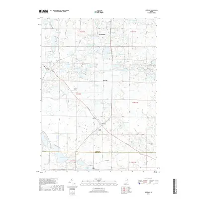
(10)- 2010 Map of Merriam, 2010 Print
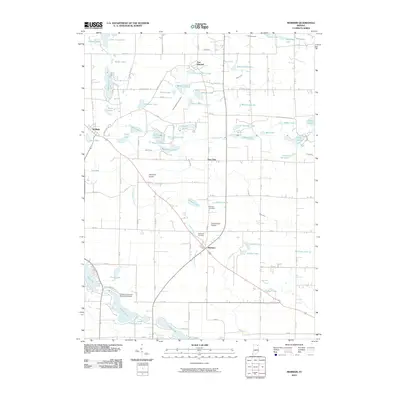 2010 Merriam2010 Print · USGSCovers Tri-Lakes, including Burr Oak, Wolflake, and other nearby areas
 - 2010 Map of Columbia City, 2010 Print
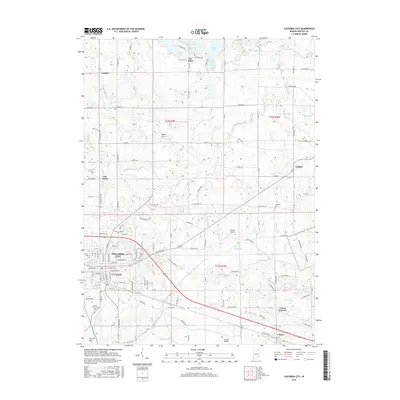
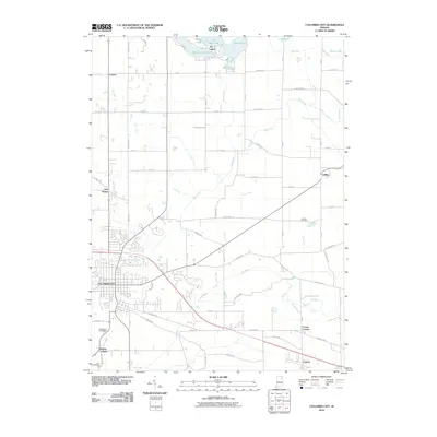 2010 Columbia City2010 Print · USGSCovers Tri-Lakes, including Columbia City, Cresco, and other nearby areas
 - 2013 Map of Merriam, 2013 Print
 2013 Merriam2013 Print · USGSCovers Tri-Lakes, including Burr Oak, Wolflake, and other nearby areas
 - 2013 Map of Columbia City, 2013 Print
 2013 Columbia City2013 Print · USGSCovers Tri-Lakes, including Columbia City, Cresco, and other nearby areas
 - 2016 Map of Columbia City, 2016 Print
 2016 Columbia City2016 Print · USGSCovers Tri-Lakes, including Columbia City, Cresco, and other nearby areas
 - 2016 Map of Merriam, 2016 Print
 2016 Merriam2016 Print · USGSCovers Tri-Lakes, including Burr Oak, Wolflake, and other nearby areas
 - 2019 Map of Columbia City, 2019 Print
 2019 Columbia City2019 Print · USGSCovers Tri-Lakes, including Columbia City, Cresco, and other nearby areas
 - 2019 Map of Merriam, 2019 Print
 2019 Merriam2019 Print · USGSCovers Tri-Lakes, including Burr Oak, Wolflake, and other nearby areas
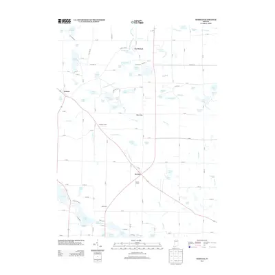
 - 2022 Map of Merriam, 2022 Print
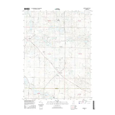
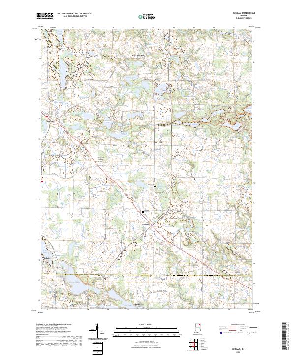 2022 Merriam2022 Print · USGSNoble and Whitley Counties are shown here during the early twenty-first century, revealing a landscape defined by glacial lakes and historic rural crossroads. Researchers can locate family burial sites at Stanford Cem and trace the development of small communities like Merriam and Wolflake.
 - 2023 Map of Columbia City, 2023 Print
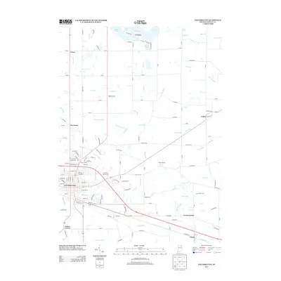
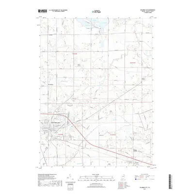
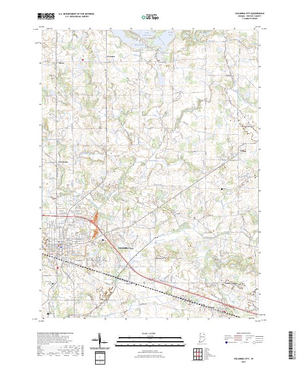 2023 Columbia City2023 Print · USGSColumbia City and the Whitley County lake district are captured here in the early twenty-first century. Genealogists and local historians can trace family plots at South Park Cem or explore the outlying settlements of Tri-Lakes and Coesse.
End of results
Showing maps 1-10 of 10
Top cities near Tri-Lakes
- Fort Wayne historical maps
- Kendallville historical maps
- Columbia City historical maps
- Ligonier historical maps
- Avilla historical maps
- Albion historical maps
See more
Frequently asked questions
- What are the different types of historical maps available for Tri-Lakes?
- What is the oldest map of Tri-Lakes?
- Where can I purchase historical maps of Tri-Lakes for my home or office?
- Where can I download high-res historical maps of Tri-Lakes?
- Are there historical topographic maps available for Tri-Lakes?
- Is there historical aerial imagery available for Tri-Lakes?
- Where are historical maps of Tri-Lakes sourced from?