Old Maps of Tri-Lakes, Indiana for Metal Detecting
Plan your next treasure hunt with 18 historic maps of Tri-Lakes. Find old homesites, ghost towns, trails, and gathering spots that may be lost to time — perfect for identifying promising metal detecting locations.
- Locate forgotten sites: Uncover places like long-lost settlements, abandoned rail lines, or gathering spots.
- Plan better hunts: Use map overlays combined with LiDAR or satellite views to narrow in on historically rich areas.
- Made for detectorists: Thousands of hobbyists use these maps to discover relics, coins, and hidden history.
Use these historic maps to boost your research and find new opportunities beneath the surface of Tri-Lakes.
Tri-Lakes, IN maps
(18)- 1951 Map of Merriam, 1953 Print
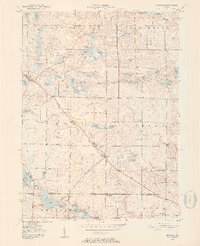 1951 Merriam1953 Print · USGSNoble and Whitley counties are shown here in the early fifties, characterized by an intricate network of small lakes and rural parishes. Genealogists can locate family landmarks like the Sanford Cem, Merriam Chapel, and the village of Wolf Lake.2 unique versions available
 - 1953 Map of Fort Wayne, 1963 Print
 1953 Fort Wayne1963 Print · USGSNortheast Indiana and its neighboring borderlands in Michigan and Ohio appear here during a peak era of rail and road expansion. Researchers can trace the massive rail networks of the Nickel Plate Road and Wabash or locate lakeside landmarks like Lake Wawasee and Clear Lake.4 unique versions available
 - 1955 Map of Columbia City, 1957 Print
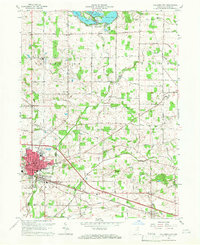
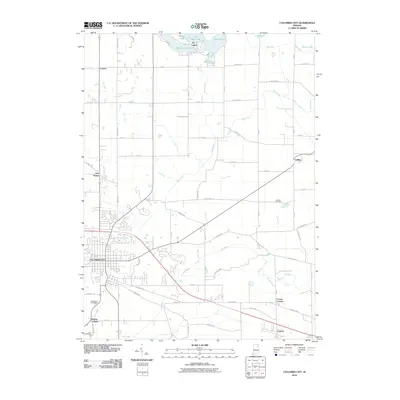
 1955 Columbia City1957 Print · USGSWhitley County at the peak of the postwar era shows a landscape where the PENNSYLVANIA railroad still connects bustling hubs and lakeside outposts. Genealogists can locate family landmarks like St Johns Cem, the Township Sch, and the State Fish Hatchery near Tri-Lakes.
 - 1956 Map of Fort Wayne
 1956 Fort Wayne1956 Print · USGSThe tri-state borderlands of Indiana, Michigan, and Ohio are captured here in the mid-fifties, centered on the growing industrial hub of Fort Wayne. Researchers can trace the heavy rail lines of the New York Central and Pennsylvania alongside prominent water features like Lake Wawasee and the Maumee River.2 unique versions available
 - 1965 Map of Columbia City, 1966 Print
 1965 Columbia City1966 Print · USGSMid-century Whitley County centers on the growing city of Columbia City and its surrounding agricultural townships during a period of steady development. Genealogists can trace family landmarks and rural life through St Johns Cem, the Township Sch, and small rail stops like Coesse.2 unique versions available
 - 1965 Map of Merriam, 1966 Print
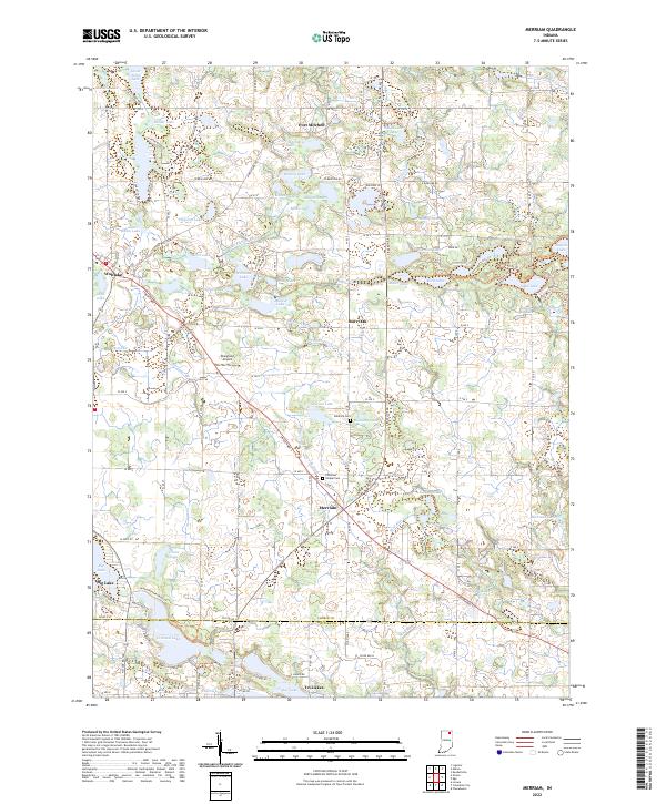
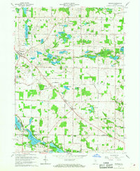 1965 Merriam1966 Print · USGSNortheastern Indiana's lake country is captured here in the mid-sixties as conservation and recreation efforts expanded. Genealogists and local historians can trace rural family sites near Merriam Cemetery or study the early footprint of Chain O'Lakes State Park.
 - 1984 Map of Fort Wayne, 1985 Print
 1984 Fort Wayne1985 Print · USGSNortheast Indiana in the mid-1980s reveals a complex landscape of glacial lakes, thriving college towns, and heavy rail infrastructure. Researchers can trace the development of Winona Lake, locate Manchester College in North Manchester, and find rural landmarks like Oakwood Cem or the Tri-County State Fish and Game Area.
 - 1994 Map of Fort Wayne
 1994 Fort Wayne1994 Print · USGSNortheast Indiana in the mid-nineties shows a landscape deeply tied to its glacial lakes and early rail networks. Genealogists and historians can trace old transit lines like the Old Ind RR and explore lakeside settlements such as Enchanted Hills and Syracuse.
 - 2010 Map of Merriam, 2010 Print
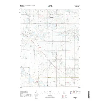
 2010 Merriam2010 Print · USGSCovers Tri-Lakes, including Burr Oak, Wolflake, and other nearby areas
 - 2010 Map of Columbia City, 2010 Print
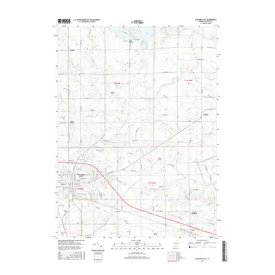
 2010 Columbia City2010 Print · USGSCovers Tri-Lakes, including Columbia City, Cresco, and other nearby areas
 - 2013 Map of Merriam, 2013 Print
 2013 Merriam2013 Print · USGSCovers Tri-Lakes, including Burr Oak, Wolflake, and other nearby areas
 - 2013 Map of Columbia City, 2013 Print
 2013 Columbia City2013 Print · USGSCovers Tri-Lakes, including Columbia City, Cresco, and other nearby areas
 - 2016 Map of Columbia City, 2016 Print
 2016 Columbia City2016 Print · USGSCovers Tri-Lakes, including Columbia City, Cresco, and other nearby areas
 - 2016 Map of Merriam, 2016 Print
 2016 Merriam2016 Print · USGSCovers Tri-Lakes, including Burr Oak, Wolflake, and other nearby areas
 - 2019 Map of Columbia City, 2019 Print
 2019 Columbia City2019 Print · USGSCovers Tri-Lakes, including Columbia City, Cresco, and other nearby areas
 - 2019 Map of Merriam, 2019 Print
 2019 Merriam2019 Print · USGSCovers Tri-Lakes, including Burr Oak, Wolflake, and other nearby areas
 - 2022 Map of Merriam, 2022 Print
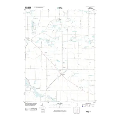
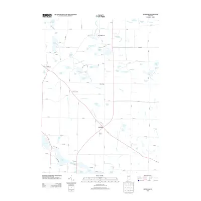
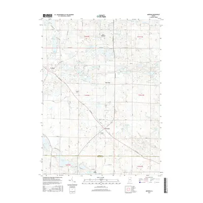
 2022 Merriam2022 Print · USGSNoble and Whitley Counties are shown here during the early twenty-first century, revealing a landscape defined by glacial lakes and historic rural crossroads. Researchers can locate family burial sites at Stanford Cem and trace the development of small communities like Merriam and Wolflake.
 - 2023 Map of Columbia City, 2023 Print
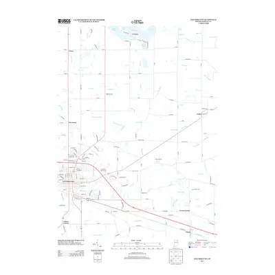
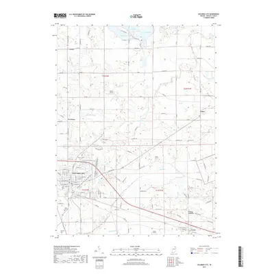
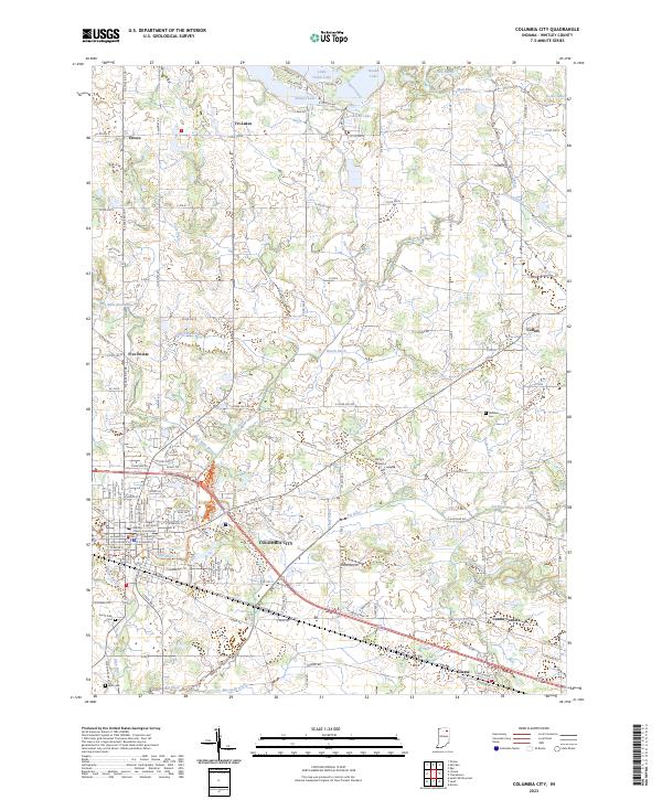 2023 Columbia City2023 Print · USGSColumbia City and the Whitley County lake district are captured here in the early twenty-first century. Genealogists and local historians can trace family plots at South Park Cem or explore the outlying settlements of Tri-Lakes and Coesse.
End of results
Showing maps 1-18 of 18
Top cities near Tri-Lakes
- Fort Wayne historical maps
- Kendallville historical maps
- Columbia City historical maps
- Ligonier historical maps
- Avilla historical maps
- Albion historical maps
See more
Frequently asked questions
- What are the different types of historical maps available for Tri-Lakes?
- What is the oldest map of Tri-Lakes?
- Where can I purchase historical maps of Tri-Lakes for my home or office?
- Where can I download high-res historical maps of Tri-Lakes?
- Are there historical topographic maps available for Tri-Lakes?
- Is there historical aerial imagery available for Tri-Lakes?
- Where are historical maps of Tri-Lakes sourced from?