Old Maps of Iconium, Iowa
Explore 12 old maps of Iconium, spanning from 1939 to today. These high-resolution historic maps reveal how streets, neighborhoods, landmarks, and natural features evolved over time — perfect for genealogy, metal detecting, research, and local history exploration.
What you can do with these maps:
- See how Iconium changed over time: Compare historical maps to modern-day views to trace roads, homesites, rail lines & more.
- View detailed metadata: Each map includes creators, publishers, year, scale, and archive source.
- Overlay maps with satellite & LiDAR: Visualize the past alongside modern tools to explore terrain & human change.
- Trusted historical sources: Maps sourced from the USGS, Library of Congress, and other archives.
- Access maps your way: View online, download high-res files, or order prints for personal or research use.
Start exploring old maps of Iconium to uncover forgotten places, hidden landmarks, and the deep history beneath your feet.
Iconium, IA maps
(12)- 1939 Map of Mystic, 1966 Print
 1939 Mystic1966 Print · USGSAppanoose County in the late thirties is a landscape of thriving rural townships and busy rail junctions. Genealogists and historians can trace family roots through numerous country schools like Buffalo Wallow Sch and churches such as Wesley Chapel.
 - 1942 Map of Mystic
 1942 Mystic1942 Print · USGSSouthern Iowa coal and rail communities are mapped here just before the mid-century, showing a landscape tied to the Chariton River. Researchers can trace rural school districts like Hedge College Sch and vanished mining-era stops including Brazil and Rathbun.
 - 1954 Map of Centerville, 1967 Print
 1954 Centerville1967 Print · USGSThe Iowa-Missouri borderlands at mid-century reveal a landscape shaped by river valleys and the height of the regional rail network. Genealogists and historians can trace the paths of the Wabash railroad and locate old townsites like Mystic, Moulton, and Greentop.3 unique versions available
 - 1957 Map of Centerville
 1957 Centerville1957 Print · USGSThe Iowa-Missouri borderlands in the mid-fifties reveal a landscape of river-valley agriculture and vital rail corridors. Genealogists and historians can trace family-named landmarks and small-town growth in Centerville, Kirksville, and along the Wabash railroad line.
 - 1958 Map of Centerville
 1958 Centerville1958 Print · USGSThe Iowa-Missouri borderlands come into focus during the mid-fifties, showing a landscape defined by river valleys and intersecting rail lines. Genealogists and local historians can trace family roots through dozens of rural hubs like Bloomfield, Unionville, and Corydon.
 - 1981 Map of Centerville, 1982 Print
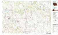 1981 Centerville1982 Print · USGSThe borderlands of southern Iowa and northern Missouri are captured here in the early eighties as Rathbun Lake and the Chariton River define the local geography. Researchers can trace historic rail lines like the Norfolk and Western and locate vanished hamlets such as Coal City and Glenwood Junction.
 - 1982 Map of Iconium, 1983 Print
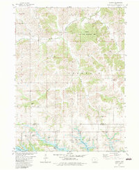 1982 Iconium1983 Print · USGSMonroe and Appanoose Counties are shown here in the early eighties as the landscape adapted to the presence of the Rathbun Lake reservoir. Researchers can trace rural lineages through numerous local burial grounds like Salem Cem and Welch Cem or locate the village of Iconium.
 - 2010 Map of Iconium, 2010 Print
 2010 Iconium2010 Print · USGSIconium and the Appanoose County countryside appear here just as the modern shoreline of the reservoir had matured. Researchers can locate numerous pioneer burial sites including Iconium Cemetery and Welch Cemetery near the waters of Rathbun Lake.
 - 2013 Map of Iconium, 2013 Print
 2013 Iconium2013 Print · USGSIconium and Tyrone sit amidst a complex network of Iowa creek branches in the early twenty-first century. Researchers can trace land-use patterns and family-named waterways like Moffatt Br and Inghram Br near the shores of Rathbun Lake.
 - 2015 Map of Iconium, 2015 Print
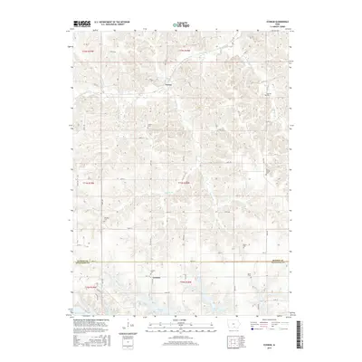 2015 Iconium2015 Print · USGSCrossing the border of Monroe and Appanoose Counties in the mid-2010s, this survey shows a landscape shaped by the Chariton River basin and small rural hubs. Genealogists can trace family heritage through a high concentration of local sites like Salem Cemetery, Brandon Cemetery, and the settlement of Iconium.
 - 2018 Map of Iconium, 2018 Print
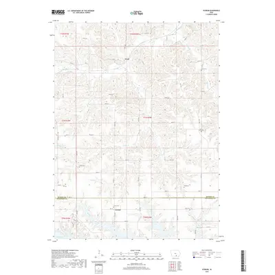 2018 Iconium2018 Print · USGSThe rural border of Monroe and Appanoose Counties comes into focus in this late twenty-first-century survey. Genealogists and local historians can locate seven different burial grounds, including Mount Carmel Cem and Welch Cem, nestled near the headwaters of Honey Cr.
 - 2022 Map of Iconium, 2022 Print
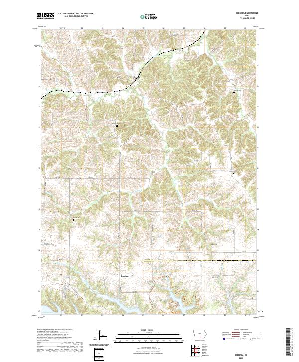 2022 Iconium2022 Print · USGSSouthern Iowa's rural landscape is captured here in the early twenty-first century, spanning the border of Monroe and Appanoose Counties. Researchers can locate numerous historic burial sites such as Mount Carmel Cem and Inghram Cem near Tyrone and Iconium.
End of results
Showing maps 1-12 of 12
Top cities near Iconium
- Centerville historical maps
- Albia historical maps
- Moravia historical maps
- Seymour historical maps
- Mystic historical maps
- Melrose historical maps
See more
Frequently asked questions
- What are the different types of historical maps available for Iconium?
- What is the oldest map of Iconium?
- Where can I purchase historical maps of Iconium for my home or office?
- Where can I download high-res historical maps of Iconium?
- Are there historical topographic maps available for Iconium?
- Is there historical aerial imagery available for Iconium?
- Where are historical maps of Iconium sourced from?