Old Maps of Watkins, Iowa for Metal Detecting
Plan your next treasure hunt with 14 historic maps of Watkins. Find old homesites, ghost towns, trails, and gathering spots that may be lost to time — perfect for identifying promising metal detecting locations.
- Locate forgotten sites: Uncover places like long-lost settlements, abandoned rail lines, or gathering spots.
- Plan better hunts: Use map overlays combined with LiDAR or satellite views to narrow in on historically rich areas.
- Made for detectorists: Thousands of hobbyists use these maps to discover relics, coins, and hidden history.
Use these historic maps to boost your research and find new opportunities beneath the surface of Watkins.
Watkins, IA maps
(14)- 1888 Map of Amana
 1888 Amana1888 Print · USGSThe Amana Colonies and the Iowa River valley are shown here in the late 1880s, during a period of communal prosperity and rail expansion. Genealogists can trace the specific villages of Hohe Amana, Middle Amana, and Homestead alongside three major railroads.
 - 1889 Map of Amana
 1889 Amana1889 Print · USGSCentral Iowa at the close of the nineteenth century reveals the unique communal settlement of the Amana colonies along the Iowa River. Trace early village footprints from Hohe Amana to Homestead and the rail corridors of the Chicago and Northwestern Railroad.2 unique versions available
 - 1899 Map of Amana, 1910 Print
 1899 Amana1910 Print · USGSThe Amana Colonies and the surrounding prairies of Iowa and Benton counties appear here in the decades following their communal establishment. Genealogists and historians can trace the specific layouts of villages like Hohe Amana and Middle Amana or follow the early paths of the Chicago Rock Island and Pacific Railroad.
 - 1903 Map of Fairfax
 1903 Fairfax1903 Print · USGSEastern Iowa's rail-and-river corridor is captured here at the start of the twentieth century, showing the region's transition into an agricultural powerhouse. Genealogists can locate the seven original communal villages of the Amana colonies and old educational sites like Western College.2 unique versions available
 - 1958 Map of Davenport, 1968 Print
 1958 Davenport1968 Print · USGSEastern Iowa and western Illinois thrive along the river during the late fifties, defined by the industrial Quad Cities and a robust rail network. Genealogists can trace family roots through settlements like Oasis and Stanwood or along the Cedar River.2 unique versions available
 - 1961 Map of Davenport
 1961 Davenport1961 Print · USGSThe Quad Cities and the eastern Iowa riverlands are captured here in the early sixties, showing the region's transition into a modern industrial and transit hub. Genealogists and historians can trace the paths of major railroads and find river landmarks like Rock Island Arsenal, Huron Island, and the Coralville Reservoir.
 - 1962 Map of Davenport
 1962 Davenport1962 Print · USGSThe Quad Cities and the Mississippi River corridor are shown at their industrial peak just before the interstate era fully transformed the region. Researchers can trace the sprawling rail networks of the Chicago Rock Island and Pacific and find landmarks like the Rock Island Arsenal and Wild Cat Den State Park.
 - 1968 Map of Newhall, 1971 Print
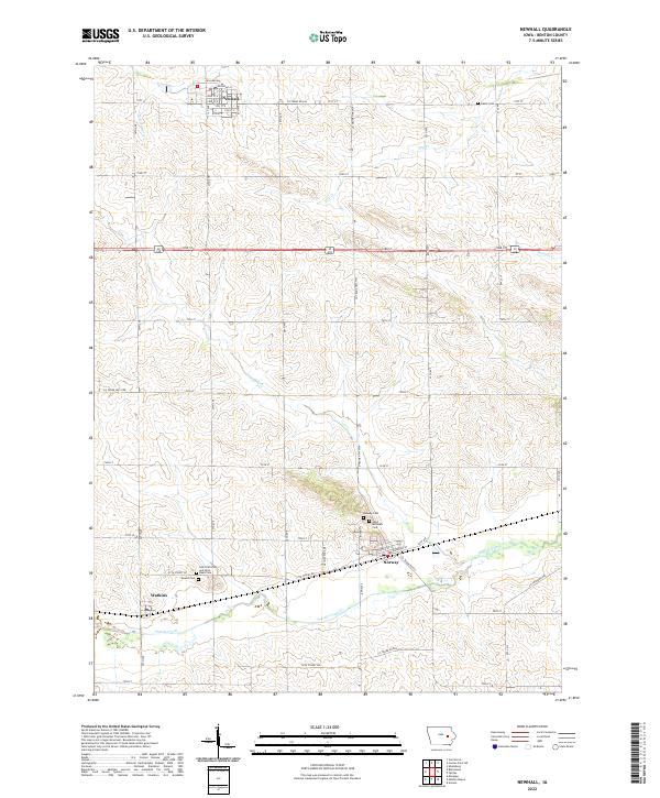
 1968 Newhall1971 Print · USGSBenton County agriculture and rail travel are captured here in the late sixties, centered on the hubs of Newhall and Norway. Researchers can locate family plots at St Patricks Cem and trace the paths of Prairie Creek and the Chicago and North Western railroad.
 - 1984 Map of Iowa City, 1985 Print
 1984 Iowa City1985 Print · USGSEastern Iowa in the mid-eighties shows a landscape of expanding university towns and river-fed conservation lands. Genealogists and local historians can trace the rural networks connecting Iowa City to smaller outposts like West Branch, Solon, and Atalissa.2 unique versions available
 - 2010 Map of Newhall, 2010 Print
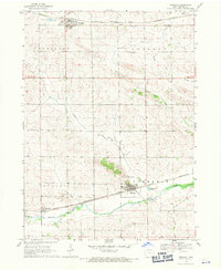
 2010 Newhall2010 Print · USGSCovers Watkins, including Newhall, Norway, and other nearby areas
 - 2013 Map of Newhall, 2013 Print
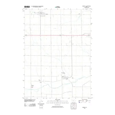
 2013 Newhall2013 Print · USGSCovers Watkins, including Newhall, Norway, and other nearby areas
 - 2015 Map of Newhall, 2015 Print
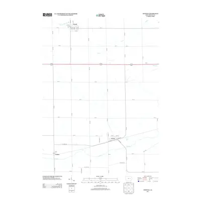
 2015 Newhall2015 Print · USGSCovers Watkins, including Newhall, Norway, and other nearby areas
 - 2018 Map of Newhall, 2018 Print
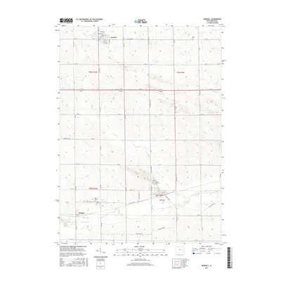
 2018 Newhall2018 Print · USGSCovers Watkins, including Newhall, Norway, and other nearby areas
 - 2022 Map of Newhall, 2022 Print
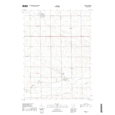
 2022 Newhall2022 Print · USGSBenton County agriculture and small-town life are documented here in the early twenty-first century. Genealogists can trace family roots at Saint Michaels Cemetery or Mound Cemetery near the settlements of Norway and Watkins.
End of results
Showing maps 1-14 of 14
Top cities near Watkins
- Cedar Rapids historical maps
- Williamsburg historical maps
- Fairfax historical maps
- Marengo historical maps
- Atkins historical maps
- Palo historical maps
See more
Frequently asked questions
- What are the different types of historical maps available for Watkins?
- What is the oldest map of Watkins?
- Where can I purchase historical maps of Watkins for my home or office?
- Where can I download high-res historical maps of Watkins?
- Are there historical topographic maps available for Watkins?
- Is there historical aerial imagery available for Watkins?
- Where are historical maps of Watkins sourced from?