Old Maps of Brandon, Iowa
Explore 21 old maps of Brandon, spanning from 1903 to today. These high-resolution historic maps reveal how streets, neighborhoods, landmarks, and natural features evolved over time — perfect for genealogy, metal detecting, research, and local history exploration.
What you can do with these maps:
- See how Brandon changed over time: Compare historical maps to modern-day views to trace roads, homesites, rail lines & more.
- View detailed metadata: Each map includes creators, publishers, year, scale, and archive source.
- Overlay maps with satellite & LiDAR: Visualize the past alongside modern tools to explore terrain & human change.
- Trusted historical sources: Maps sourced from the USGS, Library of Congress, and other archives.
- Access maps your way: View online, download high-res files, or order prints for personal or research use.
Start exploring old maps of Brandon to uncover forgotten places, hidden landmarks, and the deep history beneath your feet.
Brandon, IA maps
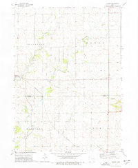
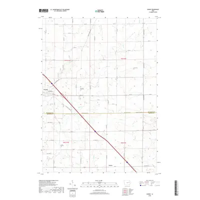
(21)- 1903 Map of Winthrop
 1903 Winthrop1903 Print · USGSEast Central Iowa was a landscape of thriving rail towns and river crossings at the turn of the century. Genealogists and historians can trace the early footprints of Independence and Marion, or locate smaller centers like Quasqueton and Toddville.2 unique versions available
 - 1954 Map of Waterloo, 1968 Print
 1954 Waterloo1968 Print · USGSCentral Iowa at the height of its mid-century agricultural and rail boom features the growing hubs of Waterloo and Cedar Falls. Genealogists and researchers can trace the rail corridors of the Chicago Great Western and find local landmarks like Iowa State College and Brushy Ridge.4 unique versions available
 - 1955 Map of Waterloo
 1955 Waterloo1955 Print · USGSCentral Iowa in the mid-fifties presents a dense landscape of rail-connected farming towns and growing river cities. Researchers can trace ancestral roots and old transport routes through Waterloo, Marshalltown, and Ames, while locating rural Cemeteries and local Quarries.2 unique versions available
 - 1959 Map of Dubuque, 1982 Print
 1959 Dubuque1982 Print · USGSThe Tri-State region comes alive in the mid-twentieth century as a hub of river commerce and rail transit. Genealogists and historians can trace the paths of the Illinois Central Gulf through Dubuque or locate the Savanna Ordnance Depot and Lock and Dam No 11.
 - 1961 Map of Dubuque
 1961 Dubuque1961 Print · USGSThe Tri-State region's river-and-rail landscape is captured here during the early sixties, showing the convergence of Iowa, Illinois, and Wisconsin. Trace mid-century rail lines like the Chicago Great Western Ry and explore sites like the Savanna Ordnance Depot and Backbone State Park.
 - 1962 Map of Dubuque
 1962 Dubuque1962 Print · USGSThe Tri-State region's river-and-rail economy is captured here in the early sixties, centered on the Mississippi River bluffs. Genealogists and historians can locate Numerous lead and zinc mines, the New Melleray Abbey Monastery, and rural hubs like Saint Olaf.2 unique versions available
 - 1971 Map of Brandon, 1973 Print
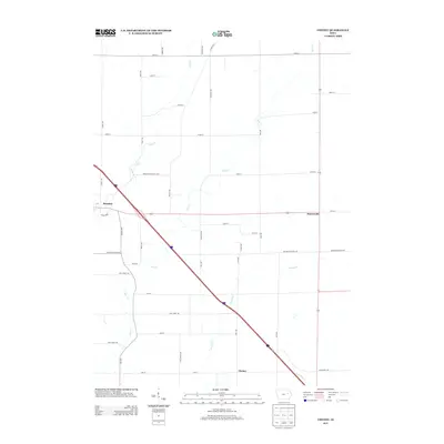
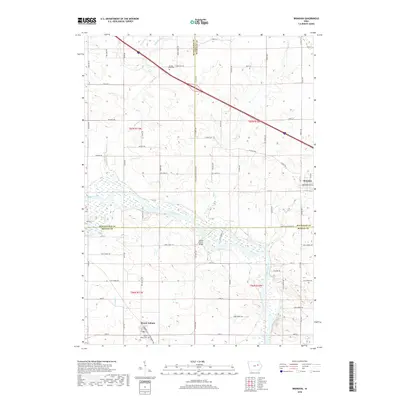
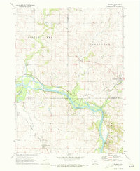 1971 Brandon1973 Print · USGSThe Cedar River valley near the tri-county junction of Black Hawk, Buchanan, and Benton is captured here in the early 1970s. Trace the rural landscape through landmarks like Spring Creek Cem, the Fish Farm, and the Mt Auburn Bridge.2 unique versions available
 - 1973 Map of Cheney, 1977 Print
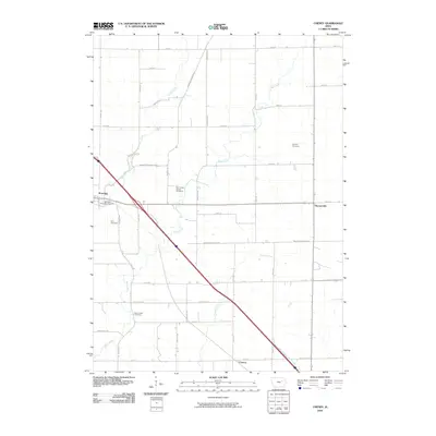
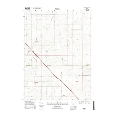
 1973 Cheney1977 Print · USGSThe rural borderlands of Buchanan and Benton Counties are captured here in the early 1970s, showcasing a landscape of winding creeks and section-line roads. Researchers can trace local history through the Townhall, Bear Creek Cemetery, and the settlement of Brandon.
 - 1976 Map of Dubuque
 1976 Dubuque1976 Print · USGSThe tri-state borderlands of Iowa, Wisconsin, and Illinois come alive during the mid-seventies, showing a region built on river commerce and mining. Genealogists and historians can trace the paths of the Illinois Central railroad or locate heritage sites like the New Melleray Abbey Monastery and Backbone State Park.
 - 1984 Map of Marshalltown, 1985 Print
 1984 Marshalltown1985 Print · USGSMid-Iowa's agricultural landscape and river corridors come alive in the mid-eighties as the Cedar River connects industrial hubs and small farm towns. Trace the tracks of the CHICAGO AND NORTHWESTERN or locate local landmarks like Union Grove State Park and Cedar Falls Junction.2 unique versions available
 - 1984 Map of Anamosa, 1985 Print
 1984 Anamosa1985 Print · USGSEastern Iowa's river valleys and farming communities are captured here in the mid-eighties, showing a landscape defined by the Wapsipinicon River and Maquoketa River. Genealogists and historians can locate legacy landmarks like the Independence State Hospital, Ebys Mill, and the State Penal Farm.2 unique versions available
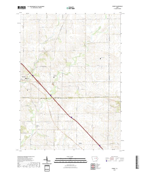
 - 2010 Map of Cheney, 2010 Print
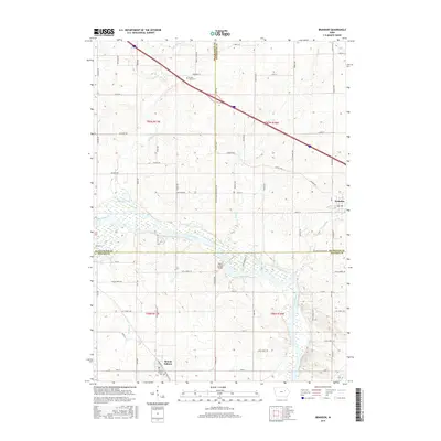
 2010 Cheney2010 Print · USGSCovers Brandon, including Benton County, Buchanan County, and other nearby areas
 - 2010 Map of Brandon, 2010 Print
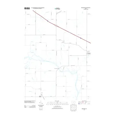
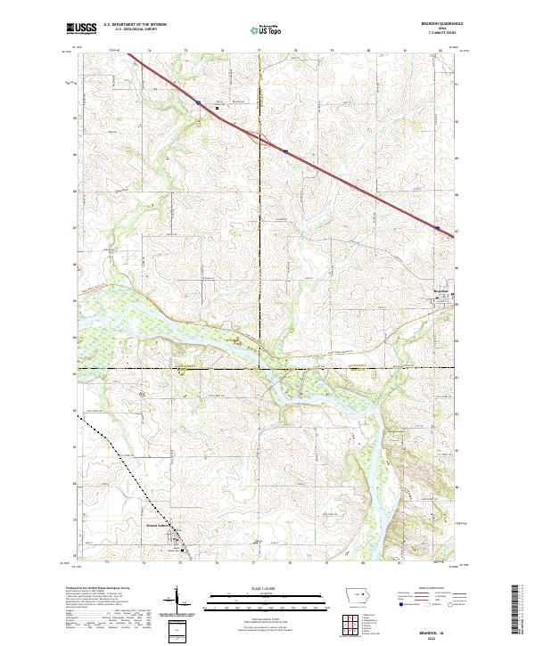
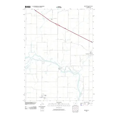 2010 Brandon2010 Print · USGSCovers Brandon, including Mount Auburn, Black Hawk County, and other nearby areas
 - 2013 Map of Cheney, 2013 Print
 2013 Cheney2013 Print · USGSCovers Brandon, including Benton County, Buchanan County, and other nearby areas
 - 2013 Map of Brandon, 2013 Print
 2013 Brandon2013 Print · USGSCovers Brandon, including Mount Auburn, Black Hawk County, and other nearby areas
 - 2015 Map of Cheney, 2015 Print
 2015 Cheney2015 Print · USGSCovers Brandon, including Benton County, Buchanan County, and other nearby areas
 - 2015 Map of Brandon, 2015 Print
 2015 Brandon2015 Print · USGSCovers Brandon, including Mount Auburn, Black Hawk County, and other nearby areas
 - 2018 Map of Cheney, 2018 Print
 2018 Cheney2018 Print · USGSCovers Brandon, including Benton County, Buchanan County, and other nearby areas
 - 2018 Map of Brandon, 2018 Print
 2018 Brandon2018 Print · USGSCovers Brandon, including Mount Auburn, Black Hawk County, and other nearby areas
 - 2022 Map of Cheney, 2022 Print
 2022 Cheney2022 Print · USGSThe rural borderlands of Buchanan and Benton counties come into focus in this contemporary survey. Genealogists and local historians can locate several family and community burial sites, including Clayton Cem, Beachler Cem, and Bear Creek School Cem.
 - 2022 Map of Brandon, 2022 Print
 2022 Brandon2022 Print · USGSEastern Iowa's agricultural heartland is documented here in the early twenty-first century, centered on the Cedar River corridor. Researchers can locate family landmarks such as Spring Creek Cem and the rural streets of Brandon and Mount Auburn.
End of results
Showing maps 1-21 of 21
Top cities near Brandon
- Independence historical maps
- Vinton historical maps
- Center Point historical maps
- Jesup historical maps
- La Porte City historical maps
- Urbana historical maps
See more
Frequently asked questions
- What are the different types of historical maps available for Brandon?
- What is the oldest map of Brandon?
- Where can I purchase historical maps of Brandon for my home or office?
- Where can I download high-res historical maps of Brandon?
- Are there historical topographic maps available for Brandon?
- Is there historical aerial imagery available for Brandon?
- Where are historical maps of Brandon sourced from?