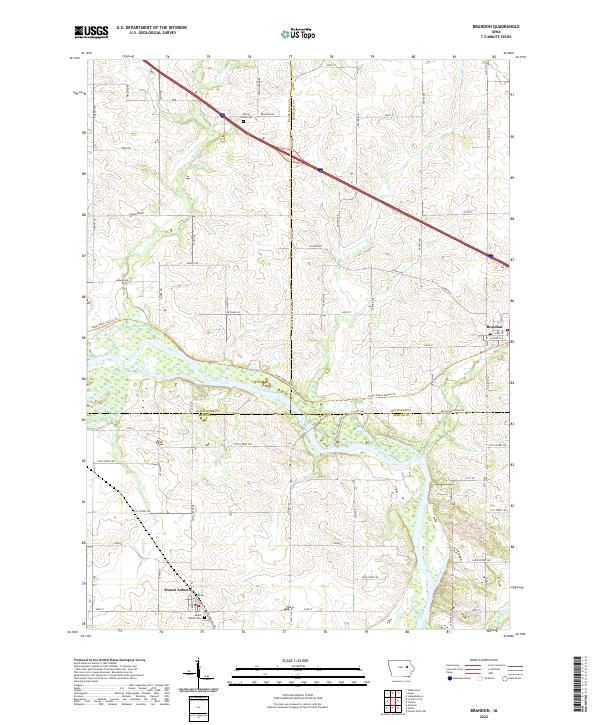
2022 Map of Brandon
USGS Topo · Published 2022About this map
Brandon sits at the confluence of several Buchanan County drainages where the Cedar River meanders through the landscape. This part of Iowa is defined by a dense grid of rural roads such as Laporte Rd and Benton Buchanan Rd, marking the transition between the rolling hills and the river bottoms. The town of Mount Auburn anchors the southwestern corner, reflecting the established agricultural community that has long thrived on these fertile lands.
Find a feature on this map
67 named features on this map. Tap any name to fly to it.
Don’t see what you’re looking for? This feature index may not catch every label — zoom into the map to look around manually.
Map Details
Editions of this 2022 Brandon Map
This is the sole edition of this map. No revisions or reprints were ever made.
Other maps of this area

1888 · Shellsburg
USGS Topo · 1:62,500

1889 · Shellsburg
USGS Topo · 1:62,500

1899 · Shellsburg
USGS Topo · 1:62,500

1903 · Winthrop
USGS Topo · 1:125,000

1954 · Waterloo
USGS Topo · 1:250,000

1955 · Waterloo
USGS Topo · 1:250,000

1959 · Dubuque
USGS Topo · 1:250,000

1961 · Dubuque
USGS Topo · 1:250,000

1962 · Dubuque
USGS Topo · 1:250,000
1968 · Center Point NW
USGS Topo · 1:24,000