Old Maps of Shady Grove, Iowa
Explore 9 old maps of Shady Grove, spanning from 1954 to today. These high-resolution historic maps reveal how streets, neighborhoods, landmarks, and natural features evolved over time — perfect for genealogy, metal detecting, research, and local history exploration.
What you can do with these maps:
- See how Shady Grove changed over time: Compare historical maps to modern-day views to trace roads, homesites, rail lines & more.
- View detailed metadata: Each map includes creators, publishers, year, scale, and archive source.
- Overlay maps with satellite & LiDAR: Visualize the past alongside modern tools to explore terrain & human change.
- Trusted historical sources: Maps sourced from the USGS, Library of Congress, and other archives.
- Access maps your way: View online, download high-res files, or order prints for personal or research use.
Start exploring old maps of Shady Grove to uncover forgotten places, hidden landmarks, and the deep history beneath your feet.
Shady Grove, IA maps
(9)- 1954 Map of Waterloo, 1968 Print
 1954 Waterloo1968 Print · USGSCentral Iowa at the height of its mid-century agricultural and rail boom features the growing hubs of Waterloo and Cedar Falls. Genealogists and researchers can trace the rail corridors of the Chicago Great Western and find local landmarks like Iowa State College and Brushy Ridge.4 unique versions available
 - 1955 Map of Waterloo
 1955 Waterloo1955 Print · USGSCentral Iowa in the mid-fifties presents a dense landscape of rail-connected farming towns and growing river cities. Researchers can trace ancestral roots and old transport routes through Waterloo, Marshalltown, and Ames, while locating rural Cemeteries and local Quarries.2 unique versions available
 - 1971 Map of Jesup, 1973 Print
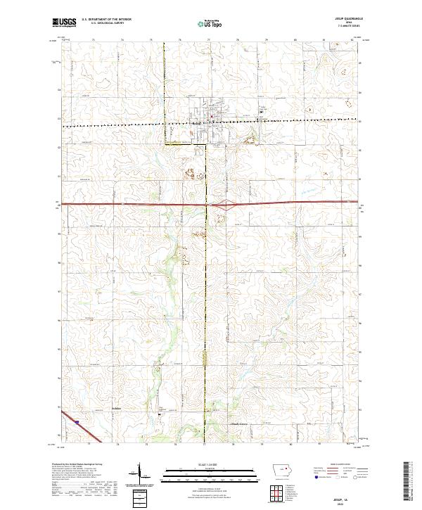
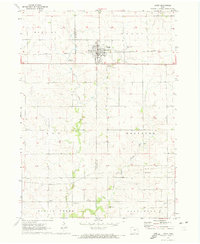 1971 Jesup1973 Print · USGSMidwestern prairie life is captured here in the early seventies, detailing the county line communities between Black Hawk and Buchanan. Genealogists can locate family sites near St Athanasius Cem, the old Townhall, or rural settlements like Jubilee and Shady Grove.
 - 1984 Map of Marshalltown, 1985 Print
 1984 Marshalltown1985 Print · USGSMid-Iowa's agricultural landscape and river corridors come alive in the mid-eighties as the Cedar River connects industrial hubs and small farm towns. Trace the tracks of the CHICAGO AND NORTHWESTERN or locate local landmarks like Union Grove State Park and Cedar Falls Junction.2 unique versions available
 - 2010 Map of Jesup, 2010 Print
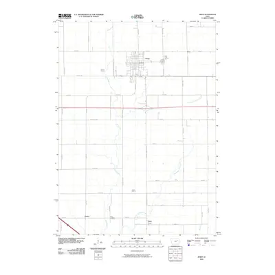 2010 Jesup2010 Print · USGSCovers Shady Grove, including Jesup, Jubilee, and other nearby areas
 - 2013 Map of Jesup, 2013 Print
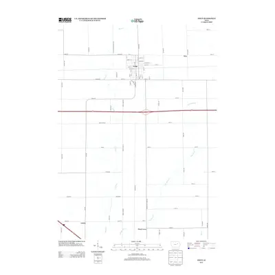 2013 Jesup2013 Print · USGSCovers Shady Grove, including Jesup, Jubilee, and other nearby areas
 - 2015 Map of Jesup, 2015 Print
 2015 Jesup2015 Print · USGSCovers Shady Grove, including Jesup, Jubilee, and other nearby areas
 - 2018 Map of Jesup, 2018 Print
 2018 Jesup2018 Print · USGSCovers Shady Grove, including Jesup, Jubilee, and other nearby areas
 - 2022 Map of Jesup, 2022 Print
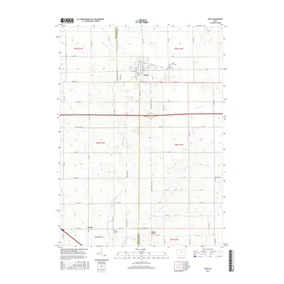
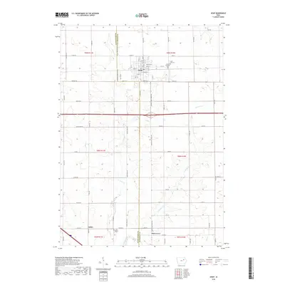
 2022 Jesup2022 Print · USGSThe borderlands of Black Hawk and Buchanan counties are captured here in the early twenty-first century. Genealogists can locate family sites near Saint Athanasius Cem or trace the rural crossroads of Jubilee and Shady Grove.
End of results
Showing maps 1-9 of 9
Top cities near Shady Grove
- Waterloo historical maps
- Independence historical maps
- Vinton historical maps
- Evansdale historical maps
- Jesup historical maps
- La Porte City historical maps
See more
Frequently asked questions
- What are the different types of historical maps available for Shady Grove?
- What is the oldest map of Shady Grove?
- Where can I purchase historical maps of Shady Grove for my home or office?
- Where can I download high-res historical maps of Shady Grove?
- Are there historical topographic maps available for Shady Grove?
- Is there historical aerial imagery available for Shady Grove?
- Where are historical maps of Shady Grove sourced from?