Old Maps of Winthrop, Iowa for Hiking & Exploration
Hike through history with 18 historic maps of Winthrop. Explore old trails, ghost towns, and forgotten backroads — perfect for outdoor adventurers and local explorers.
- Rediscover forgotten places: Map out old mining camps, roads, and footpaths that no longer exist on modern maps.
- Layer with modern tools: Combine with LiDAR or satellite views to plan hikes through historical terrain.
- Made for exploration: Popular among hikers, overlanders, and local history lovers.
Use these maps to find adventure and explore the hidden past of Winthrop.
Winthrop, IA maps
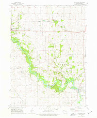
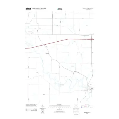
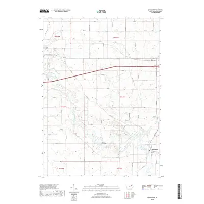
(18)- 1903 Map of Winthrop
 1903 Winthrop1903 Print · USGSEast Central Iowa was a landscape of thriving rail towns and river crossings at the turn of the century. Genealogists and historians can trace the early footprints of Independence and Marion, or locate smaller centers like Quasqueton and Toddville.2 unique versions available
 - 1959 Map of Dubuque, 1982 Print
 1959 Dubuque1982 Print · USGSThe Tri-State region comes alive in the mid-twentieth century as a hub of river commerce and rail transit. Genealogists and historians can trace the paths of the Illinois Central Gulf through Dubuque or locate the Savanna Ordnance Depot and Lock and Dam No 11.
 - 1961 Map of Dubuque
 1961 Dubuque1961 Print · USGSThe Tri-State region's river-and-rail landscape is captured here during the early sixties, showing the convergence of Iowa, Illinois, and Wisconsin. Trace mid-century rail lines like the Chicago Great Western Ry and explore sites like the Savanna Ordnance Depot and Backbone State Park.
 - 1962 Map of Dubuque
 1962 Dubuque1962 Print · USGSThe Tri-State region's river-and-rail economy is captured here in the early sixties, centered on the Mississippi River bluffs. Genealogists and historians can locate Numerous lead and zinc mines, the New Melleray Abbey Monastery, and rural hubs like Saint Olaf.2 unique versions available
 - 1973 Map of Quasqueton, 1977 Print
 1973 Quasqueton1977 Print · USGSBuchanan County's river valleys and rail corridors are captured here in the early 1970s as the river-based economy evolved. Researchers can trace land use around Quasqueton, locate the Pine Creek Mission Ch, and follow the Old RR Grade.2 unique versions available
 - 1973 Map of Winthrop, 1977 Print
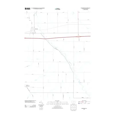
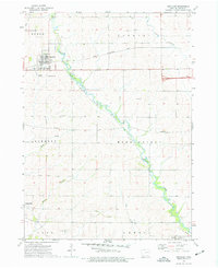 1973 Winthrop1977 Print · USGSBuchanan County's agricultural heartland is documented in the mid-seventies, centered on the railroad town of Winthrop. Genealogists and local historians can trace family plots at Fairview Cem or follow the path of the Illinois Central Gulf and an Old RR Grade.2 unique versions available
 - 1976 Map of Dubuque
 1976 Dubuque1976 Print · USGSThe tri-state borderlands of Iowa, Wisconsin, and Illinois come alive during the mid-seventies, showing a region built on river commerce and mining. Genealogists and historians can trace the paths of the Illinois Central railroad or locate heritage sites like the New Melleray Abbey Monastery and Backbone State Park.
 - 1984 Map of Anamosa, 1985 Print
 1984 Anamosa1985 Print · USGSEastern Iowa's river valleys and farming communities are captured here in the mid-eighties, showing a landscape defined by the Wapsipinicon River and Maquoketa River. Genealogists and historians can locate legacy landmarks like the Independence State Hospital, Ebys Mill, and the State Penal Farm.2 unique versions available
 - 2010 Map of Quasqueton, 2010 Print
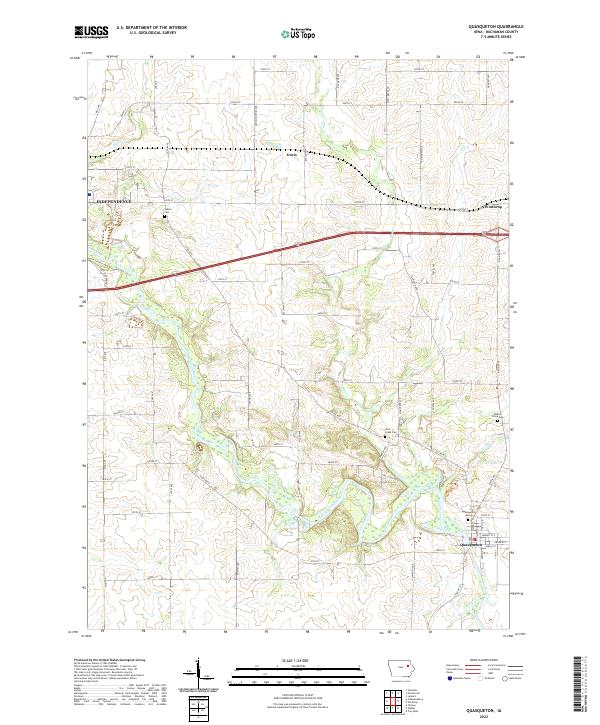
 2010 Quasqueton2010 Print · USGSCovers Winthrop, including Independence, Quasqueton, and other nearby areas
 - 2010 Map of Winthrop, 2010 Print
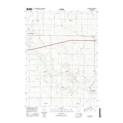
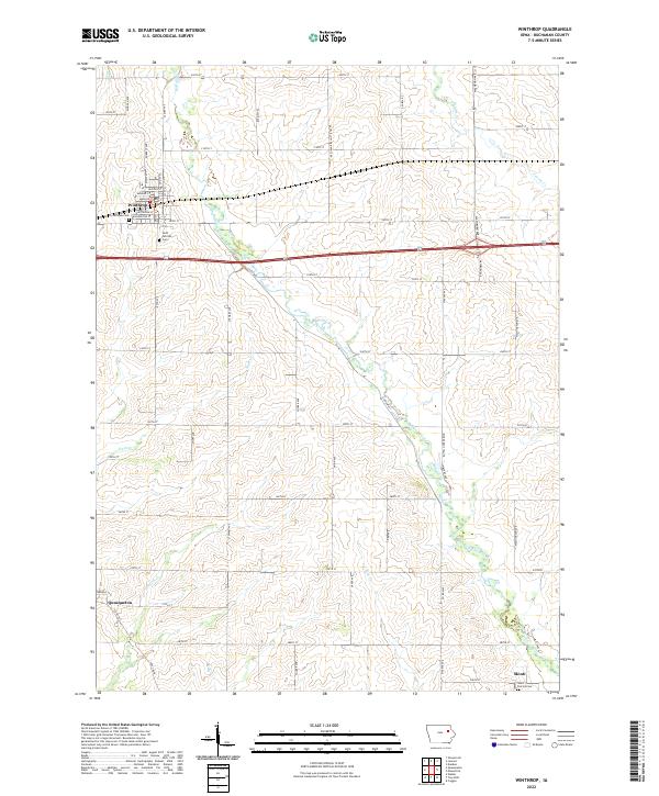
 2010 Winthrop2010 Print · USGSCovers Winthrop, including Quasqueton, Monti, and other nearby areas
 - 2013 Map of Quasqueton, 2013 Print
 2013 Quasqueton2013 Print · USGSCovers Winthrop, including Independence, Quasqueton, and other nearby areas
 - 2013 Map of Winthrop, 2013 Print
 2013 Winthrop2013 Print · USGSCovers Winthrop, including Quasqueton, Monti, and other nearby areas
 - 2015 Map of Winthrop, 2015 Print
 2015 Winthrop2015 Print · USGSCovers Winthrop, including Quasqueton, Monti, and other nearby areas
 - 2015 Map of Quasqueton, 2015 Print
 2015 Quasqueton2015 Print · USGSCovers Winthrop, including Independence, Quasqueton, and other nearby areas
 - 2018 Map of Quasqueton, 2018 Print
 2018 Quasqueton2018 Print · USGSCovers Winthrop, including Independence, Quasqueton, and other nearby areas
 - 2018 Map of Winthrop, 2018 Print
 2018 Winthrop2018 Print · USGSCovers Winthrop, including Quasqueton, Monti, and other nearby areas
 - 2022 Map of Winthrop, 2022 Print
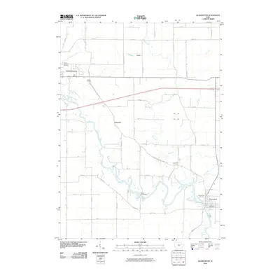
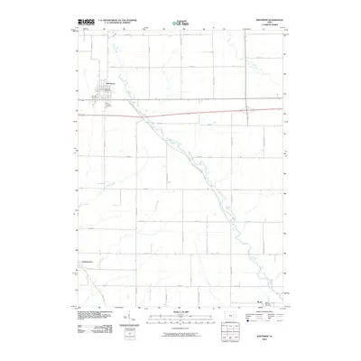
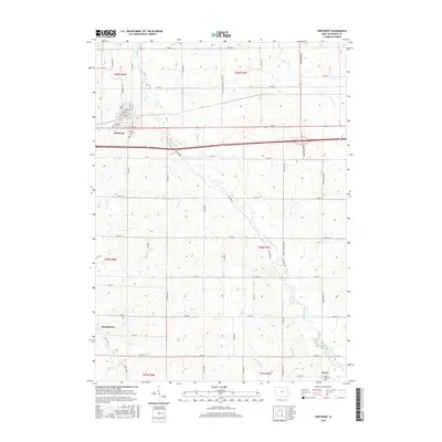
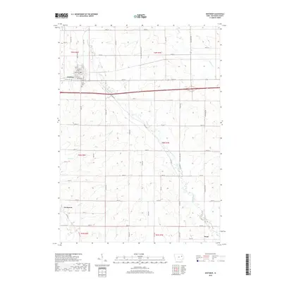
 2022 Winthrop2022 Print · USGSBuchanan County's agricultural heartland is documented here in the early twenty-first century, centered on the communities of Winthrop and Quasqueton. Genealogists can locate family landmarks such as Fairview Cem and the rural settlement of Monti along Buffalo Creek.
 - 2022 Map of Quasqueton, 2022 Print
 2022 Quasqueton2022 Print · USGSQuasqueton and the surrounding Buchanan County farmlands are captured here in the early twenty-first century along the banks of the Wapsipinicon River. Genealogists and local historians can trace legacy sites like Pine Creek Cem, Hickory Grove Cem, and the small settlement of Doris.
End of results
Showing maps 1-18 of 18
Top cities near Winthrop
- Independence historical maps
- Oelwein historical maps
- Urbana historical maps
- Strawberry Point historical maps
- Hazleton historical maps
- Coggon historical maps
See more
Frequently asked questions
- What are the different types of historical maps available for Winthrop?
- What is the oldest map of Winthrop?
- Where can I purchase historical maps of Winthrop for my home or office?
- Where can I download high-res historical maps of Winthrop?
- Are there historical topographic maps available for Winthrop?
- Is there historical aerial imagery available for Winthrop?
- Where are historical maps of Winthrop sourced from?