Old Maps of Allison, Iowa for Metal Detecting
Plan your next treasure hunt with 15 historic maps of Allison. Find old homesites, ghost towns, trails, and gathering spots that may be lost to time — perfect for identifying promising metal detecting locations.
- Locate forgotten sites: Uncover places like long-lost settlements, abandoned rail lines, or gathering spots.
- Plan better hunts: Use map overlays combined with LiDAR or satellite views to narrow in on historically rich areas.
- Made for detectorists: Thousands of hobbyists use these maps to discover relics, coins, and hidden history.
Use these historic maps to boost your research and find new opportunities beneath the surface of Allison.
Allison, IA maps
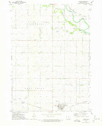
(15)- 1954 Map of Waterloo, 1968 Print
 1954 Waterloo1968 Print · USGSCentral Iowa at the height of its mid-century agricultural and rail boom features the growing hubs of Waterloo and Cedar Falls. Genealogists and researchers can trace the rail corridors of the Chicago Great Western and find local landmarks like Iowa State College and Brushy Ridge.4 unique versions available
 - 1955 Map of Waterloo
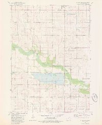
 1955 Waterloo1955 Print · USGSCentral Iowa in the mid-fifties presents a dense landscape of rail-connected farming towns and growing river cities. Researchers can trace ancestral roots and old transport routes through Waterloo, Marshalltown, and Ames, while locating rural Cemeteries and local Quarries.2 unique versions available
 - 1972 Map of Allison, 1975 Print
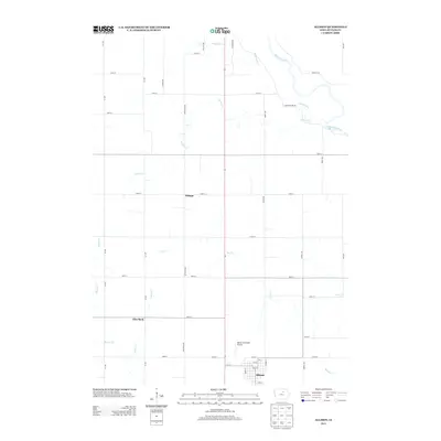
 1972 Allison1975 Print · USGSButler County's agricultural heartland is documented here in the early seventies as the rail lines of the Chicago and North Western still connected these rural townships. Genealogists can trace several local burial sites including Wilmar Cem and Jungling Cem alongside the distinctive Pilot Rock landmark.
 - 1979 Map of Butler Center, 1980 Print
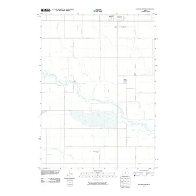
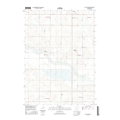
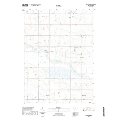
 1979 Butler Center1980 Print · USGSButler County in the late seventies is a landscape of managed wetlands and quiet rural townships. Researchers can trace the legacy of early settlements through Butler Center Cemetery and the local Fairground, or follow the course of the West Fork Cedar River.
 - 1984 Map of Waverly, 1985 Print
 1984 Waverly1985 Print · USGSNortheast Iowa in the mid-eighties shows a robust network of river towns and rail corridors connecting agricultural centers. Researchers can trace family sites near Garden of Memories Cem or follow the Chicago and North Western line through Janesville and Waverly.2 unique versions available
 - 2010 Map of Butler Center, 2010 Print
 2010 Butler Center2010 Print · USGSCovers Allison, including Butler County, United States, and other nearby areas
 - 2010 Map of Allison, 2010 Print
 2010 Allison2010 Print · USGSCovers Allison, including Butler County, United States, and other nearby areas
 - 2013 Map of Allison, 2013 Print
 2013 Allison2013 Print · USGSCovers Allison, including Butler County, United States, and other nearby areas
 - 2013 Map of Butler Center, 2013 Print
 2013 Butler Center2013 Print · USGSCovers Allison, including Butler County, United States, and other nearby areas
 - 2015 Map of Butler Center, 2015 Print
 2015 Butler Center2015 Print · USGSCovers Allison, including Butler County, United States, and other nearby areas
 - 2015 Map of Allison, 2015 Print
 2015 Allison2015 Print · USGSCovers Allison, including Butler County, United States, and other nearby areas
 - 2018 Map of Butler Center, 2018 Print
 2018 Butler Center2018 Print · USGSCovers Allison, including Butler County, United States, and other nearby areas
 - 2018 Map of Allison, 2018 Print
 2018 Allison2018 Print · USGSCovers Allison, including Butler County, United States, and other nearby areas
 - 2022 Map of Allison, 2022 Print
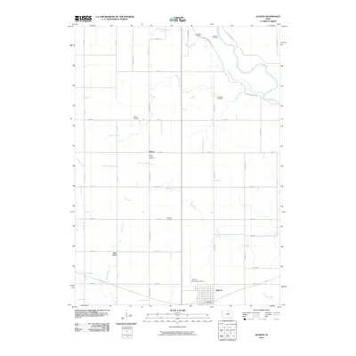
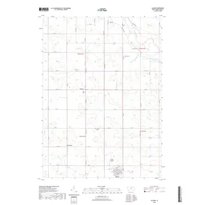
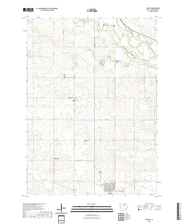 2022 Allison2022 Print · USGSButler County agriculture and government center this 2020s Iowa landscape. Genealogists can trace family sites at North Vilmar Cem and Hardman Cem or locate the historic Butler County Courthouse in Allison.
 - 2022 Map of Butler Center, 2022 Print
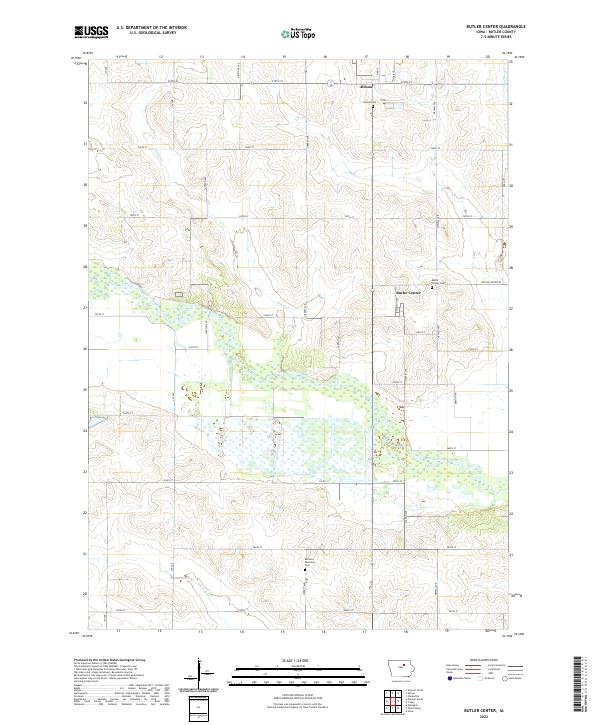 2022 Butler Center2022 Print · USGSButler County, Iowa, is shown here in the 2020s, centered on the historic crossroads of Butler Center. Genealogists and local historians can trace family locations near Butler Center Cem, Allison Cem, and the winding West Fork Cedar River.
End of results
Showing maps 1-15 of 15
Top cities near Allison
- Parkersburg historical maps
- Shell Rock historical maps
- Clarksville historical maps
- Aplington historical maps
- Greene historical maps
- Dumont historical maps
See more
Frequently asked questions
- What are the different types of historical maps available for Allison?
- What is the oldest map of Allison?
- Where can I purchase historical maps of Allison for my home or office?
- Where can I download high-res historical maps of Allison?
- Are there historical topographic maps available for Allison?
- Is there historical aerial imagery available for Allison?
- Where are historical maps of Allison sourced from?