Old Maps of Clarksville, Iowa for Hiking & Exploration
Hike through history with 9 historic maps of Clarksville. Explore old trails, ghost towns, and forgotten backroads — perfect for outdoor adventurers and local explorers.
- Rediscover forgotten places: Map out old mining camps, roads, and footpaths that no longer exist on modern maps.
- Layer with modern tools: Combine with LiDAR or satellite views to plan hikes through historical terrain.
- Made for exploration: Popular among hikers, overlanders, and local history lovers.
Use these maps to find adventure and explore the hidden past of Clarksville.
Clarksville, IA maps
(9)- 1954 Map of Waterloo, 1968 Print
 1954 Waterloo1968 Print · USGSCentral Iowa at the height of its mid-century agricultural and rail boom features the growing hubs of Waterloo and Cedar Falls. Genealogists and researchers can trace the rail corridors of the Chicago Great Western and find local landmarks like Iowa State College and Brushy Ridge.4 unique versions available
 - 1955 Map of Waterloo
 1955 Waterloo1955 Print · USGSCentral Iowa in the mid-fifties presents a dense landscape of rail-connected farming towns and growing river cities. Researchers can trace ancestral roots and old transport routes through Waterloo, Marshalltown, and Ames, while locating rural Cemeteries and local Quarries.2 unique versions available
 - 1971 Map of Clarksville, 1973 Print
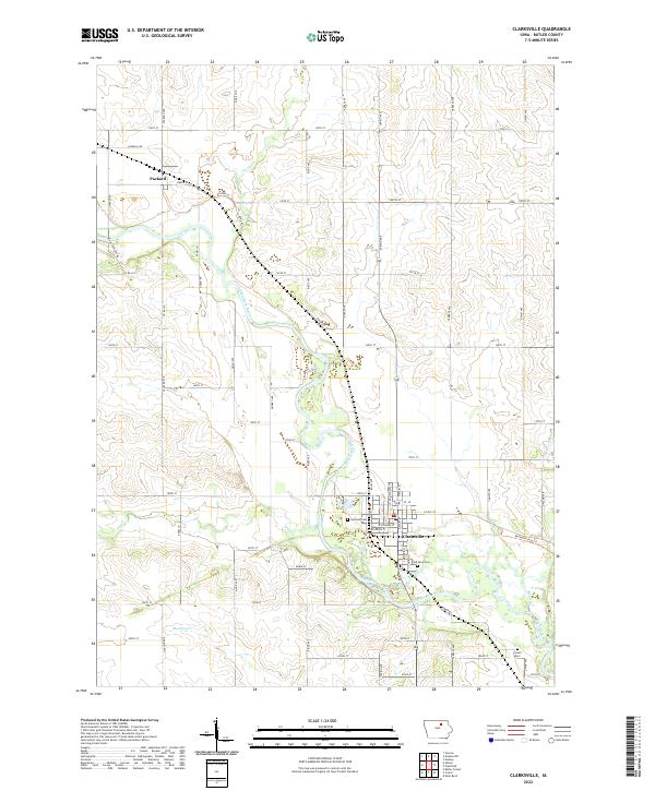
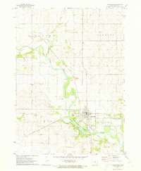 1971 Clarksville1973 Print · USGSButler County's rail-and-river geography is on full display in the early seventies as two major railroads converge at the town of Clarksville. Researchers can locate family landmarks like Lynnwood Cem and trace the original corridors of the Chicago Rock Island and Pacific and Chicago and North Western lines.
 - 1984 Map of Waverly, 1985 Print
 1984 Waverly1985 Print · USGSNortheast Iowa in the mid-eighties shows a robust network of river towns and rail corridors connecting agricultural centers. Researchers can trace family sites near Garden of Memories Cem or follow the Chicago and North Western line through Janesville and Waverly.2 unique versions available
 - 2010 Map of Clarksville, 2010 Print
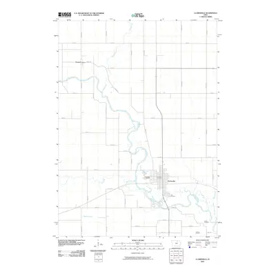 2010 Clarksville2010 Print · USGSCovers Clarksville, including Packard, Butler County, and other nearby areas
 - 2013 Map of Clarksville, 2013 Print
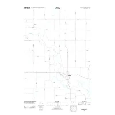 2013 Clarksville2013 Print · USGSCovers Clarksville, including Packard, Butler County, and other nearby areas
 - 2015 Map of Clarksville, 2015 Print
 2015 Clarksville2015 Print · USGSCovers Clarksville, including Packard, Butler County, and other nearby areas
 - 2018 Map of Clarksville, 2018 Print
 2018 Clarksville2018 Print · USGSCovers Clarksville, including Packard, Butler County, and other nearby areas
 - 2022 Map of Clarksville, 2022 Print
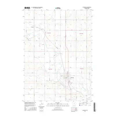
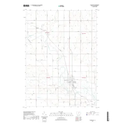
 2022 Clarksville2022 Print · USGSButler County's river valleys and rural townships come into focus in this recent survey of the Clarksville area. Genealogists can locate family sites at Old Town Cem and Lowell Cem or trace the Shell Rock River through the settlement of Packard.
End of results
Showing maps 1-9 of 9
Top cities near Clarksville
- Cedar Falls historical maps
- Waverly historical maps
- Parkersburg historical maps
- Nashua historical maps
- Shell Rock historical maps
- Aplington historical maps
See more
Frequently asked questions
- What are the different types of historical maps available for Clarksville?
- What is the oldest map of Clarksville?
- Where can I purchase historical maps of Clarksville for my home or office?
- Where can I download high-res historical maps of Clarksville?
- Are there historical topographic maps available for Clarksville?
- Is there historical aerial imagery available for Clarksville?
- Where are historical maps of Clarksville sourced from?