Old Maps of Massena, Iowa for Academic Research
Study the evolution of Massena with 17 high-resolution historic maps. Whether you're teaching, researching, or modeling changes in land use, these maps provide essential visual documentation of urban, environmental, and geographic change.
- Analyze long-term change: Track patterns in development, transportation, and natural features.
- Ideal for environmental or urban studies: Support academic projects with primary historical map data.
- Use in the classroom or lab: Educators and researchers rely on these maps to bring historical context to life.
These maps are a powerful tool for teaching, research, and visualizing how Massena has changed over the decades.
Massena, IA maps
(17)- 1954 Map of Omaha, 1967 Print
 1954 Omaha1967 Print · USGSMid-century development radiates from the river bluffs into the agricultural heartland during this period of post-war growth. Genealogists and historians can trace rail-connected towns like Atlantic and Red Oak or locate the sprawling grounds of Offutt Air Force Base and Manawa Lake.3 unique versions available
 - 1957 Map of Omaha
 1957 Omaha1957 Print · USGSWestern Iowa and the Missouri River valley are seen here in the mid-fifties during the height of the rail-and-road era. Researchers can trace the sprawling rail lines of the Chicago And North Western or locate Cold War landmarks like Offutt Air Force Base.
 - 1958 Map of Omaha
 1958 Omaha1958 Print · USGSOmaha and Council Bluffs stand at the center of this mid-fifties landscape, where the Missouri River splits the urban plains of Nebraska from the rolling hills of western Iowa. Genealogists can trace the rail lines of the Wabash RR and Illinois Central RR to rural settlements like Missouri Valley and Red Oak.2 unique versions available
 - 1971 Map of Massena, 1973 Print
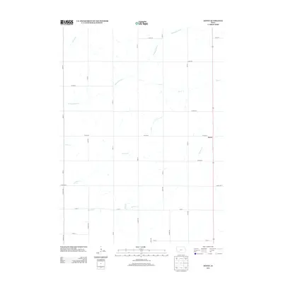
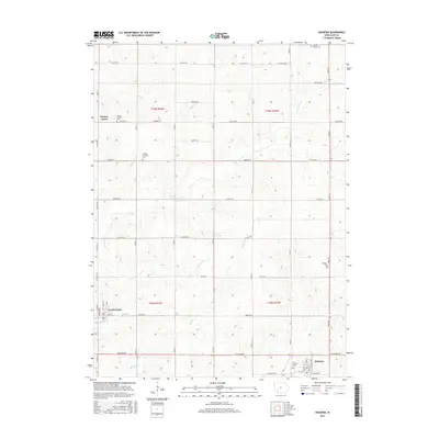
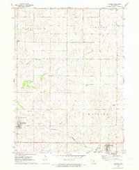 1971 Massena1973 Print · USGSCass County farmland in the early 1970s is centered around the rail-connected towns of Massena and Cumberland. Genealogists can trace family footprints at St Patricks Cem, Pine Grove Ch, and the old crossroads at Norway Center.
 - 1980 Map of Dewey, 1981 Print
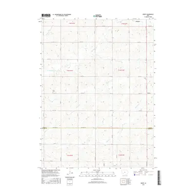
 1980 Dewey1981 Print · USGSSouthwestern Iowa farm country is documented here in the late seventies, showing the rural townships of Victoria, Edna, and Union. Researchers can locate the Victoria Cem, the rail line of the Burlington Northern, and local churches like St Timothy Ch.
 - 1985 Map of Creston
 1985 Creston1985 Print · USGSSouthwest Iowa in the mid-eighties shows a landscape of established farm towns and growing regional hubs connected by vital rail lines. Genealogists and local historians can trace landmarks like Graceland Cem, the Southwestern Community College campus, and the Burlington Northern railroad route.
 - 1993 Map of Creston
 1993 Creston1993 Print · USGSSouthwestern Iowa in the early nineties shows a landscape of established farm towns and modern water reservoirs. Genealogists and local historians can trace the streets of Creston and Winterset, or find rural landmarks like Graceland Cem and Arbor Hill.
 - 2010 Map of Dewey, 2010 Print
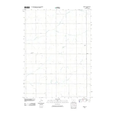 2010 Dewey2010 Print · USGSCovers Massena, including Dewey, Cass County, and other nearby areas
 - 2010 Map of Massena, 2010 Print
 2010 Massena2010 Print · USGSCovers Massena, including Cumberland, Norway Center, and other nearby areas
 - 2013 Map of Dewey, 2013 Print
 2013 Dewey2013 Print · USGSCovers Massena, including Dewey, Cass County, and other nearby areas
 - 2013 Map of Massena, 2013 Print
 2013 Massena2013 Print · USGSCovers Massena, including Cumberland, Norway Center, and other nearby areas
 - 2015 Map of Massena, 2015 Print
 2015 Massena2015 Print · USGSCovers Massena, including Cumberland, Norway Center, and other nearby areas
 - 2015 Map of Dewey, 2015 Print
 2015 Dewey2015 Print · USGSCovers Massena, including Dewey, Cass County, and other nearby areas
 - 2018 Map of Dewey, 2018 Print
 2018 Dewey2018 Print · USGSCovers Massena, including Dewey, Cass County, and other nearby areas
 - 2018 Map of Massena, 2018 Print
 2018 Massena2018 Print · USGSCovers Massena, including Cumberland, Norway Center, and other nearby areas
 - 2022 Map of Massena, 2022 Print
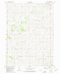
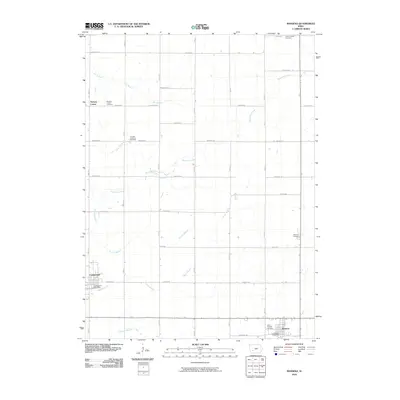
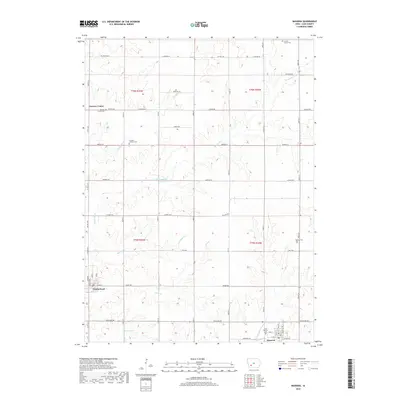
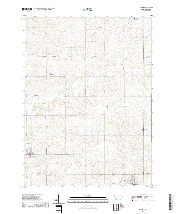 2022 Massena2022 Print · USGSCass County agriculture and small-town life are preserved here in the early twenty-first century. Researchers can trace family roots through numerous rural landmarks like Norway Center Cem, Franklin Lutheran Cem, and the streets of Cumberland.
 - 2022 Map of Dewey, 2022 Print
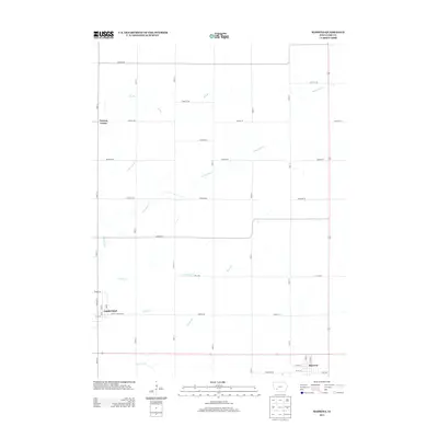
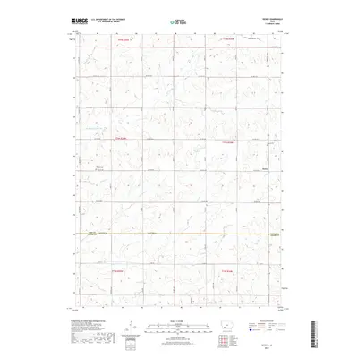
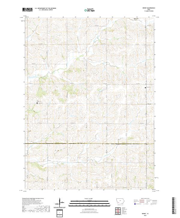 2022 Dewey2022 Print · USGSSouthern Cass County and northern Adams County are captured here in the early twenty-first century, showing the rural grid of an enduring farming landscape. Genealogists can locate family sites near Victoria Cem, Saint Timothy Cem, and the valley of the W Nodaway River.
End of results
Showing maps 1-17 of 17
Top cities near Massena
- Atlantic historical maps
- Anita historical maps
- Fontanelle historical maps
- Cumberland historical maps
- Prescott historical maps
- Bridgewater historical maps
See more
Frequently asked questions
- What are the different types of historical maps available for Massena?
- What is the oldest map of Massena?
- Where can I purchase historical maps of Massena for my home or office?
- Where can I download high-res historical maps of Massena?
- Are there historical topographic maps available for Massena?
- Is there historical aerial imagery available for Massena?
- Where are historical maps of Massena sourced from?