Old Maps of Plymouth, Iowa
Explore 29 old maps of Plymouth, spanning from 1954 to today. These high-resolution historic maps reveal how streets, neighborhoods, landmarks, and natural features evolved over time — perfect for genealogy, metal detecting, research, and local history exploration.
What you can do with these maps:
- See how Plymouth changed over time: Compare historical maps to modern-day views to trace roads, homesites, rail lines & more.
- View detailed metadata: Each map includes creators, publishers, year, scale, and archive source.
- Overlay maps with satellite & LiDAR: Visualize the past alongside modern tools to explore terrain & human change.
- Trusted historical sources: Maps sourced from the USGS, Library of Congress, and other archives.
- Access maps your way: View online, download high-res files, or order prints for personal or research use.
Start exploring old maps of Plymouth to uncover forgotten places, hidden landmarks, and the deep history beneath your feet.
Plymouth, IA maps
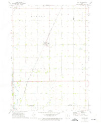
(29)- 1954 Map of Mason City, 1967 Print
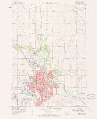
 1954 Mason City1967 Print · USGSSouthern Minnesota and northern Iowa are shown here at the height of the mid-century rail era, centered on the regional hubs of Mason City and Rochester. Researchers can trace the vanished paths of the Chicago Great Western and find local landmarks like Pilot Knob and Bear Lake.2 unique versions available
 - 1957 Map of Mason City
 1957 Mason City1957 Print · USGSThe Minnesota-Iowa border region comes alive in this mid-century survey, from the industrial plants of Mason City to the medical hub of Rochester. Researchers can trace the rail-and-river economy through the Chicago Great Western Railway and the Shell Rock River.
 - 1958 Map of Mason City
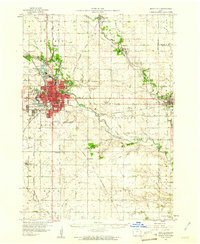
 1958 Mason City1958 Print · USGSSouthern Minnesota and northern Iowa are shown during the mid-fifties when railroads still anchored the regional economy. Genealogists and historians can trace the intricate rail networks of the Illinois Central and find local landmarks in Mason City, Albert Lea, and Austin.
 - 1959 Map of Mason City, 1960 Print
 1959 Mason City1960 Print · USGSMason City at the end of the fifties reveals a bustling industrial landscape shaped by its river and rail corridors. Researchers can trace the mid-century growth of local neighborhoods and find specific landmarks like Elmwood Cemetery, Asbury Park, and School No 5.2 unique versions available
 - 1959 Map of Mason City, 1961 Print
 1959 Mason City1961 Print · USGSNorth Central Iowa’s rail and river networks are captured here during the late fifties, centered on the bustling hub of Mason City. Genealogists and local historians can trace rural schools and cemeteries like Bath Sch No 9 and Rock Falls Cem alongside the industrial Claypits.
 - 1959 Map of Nora Springs, 1966 Print
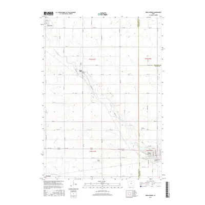
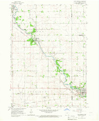 1959 Nora Springs1966 Print · USGSNora Springs and the Shell Rock River valley are captured here in the late fifties at a peak of mid-century rail and river industry. Genealogists and local historians can trace the Chicago Rock Island and Pacific rail lines, find Spring Grove Cem, or locate the Spotts Landing Field.
 - 1972 Map of Manly, 1975 Print
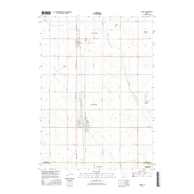
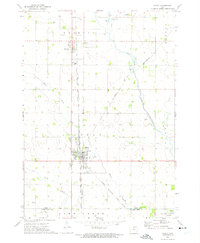 1972 Manly1975 Print · USGSWorth and Cerro Gordo counties are captured in the early 1970s as agricultural life and heavy rail converge. Genealogists and local historians can trace the paths of the Chicago Rock Island and Pacific through Manly or locate family plots at Kensett Cem and Bohemian Cem.
 - 1972 Map of Grafton, 1975 Print
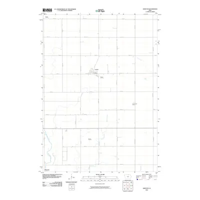
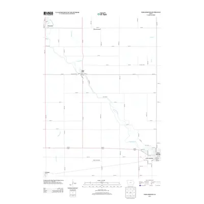
 1972 Grafton1975 Print · USGSWorth County's agricultural heartland is captured here in the early seventies, showing a landscape defined by rail lines and section-grid farming. Genealogists and local historians can trace family farmsteads near Grafton, find the Grafton Cem, and follow the Shell Rock River past Plymouth.
 - 1985 Map of Mason City
 1985 Mason City1985 Print · USGSThe Northern Iowa and Southern Minnesota borderlands are captured here in the mid-eighties, showing a region defined by agricultural drainage and rail heritage. Genealogists and historians can trace the grid of rural townships and find local landmarks like Pilot Knob State Park, Nora Springs, and Clear Lake State Park.2 unique versions available
 - 2010 Map of Mason City, 2010 Print
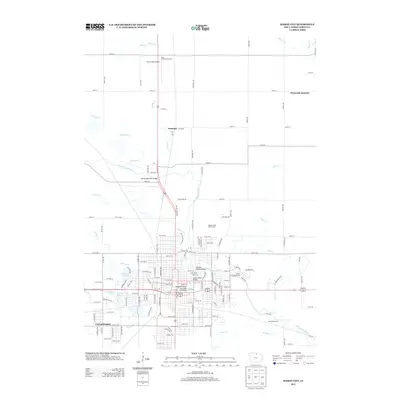
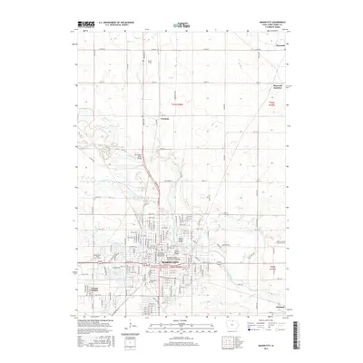
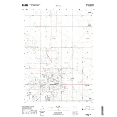
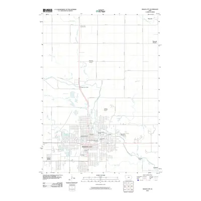 2010 Mason City2010 Print · USGSCovers Plymouth, including Mason City, Plymouth Junction, and other nearby areas
 - 2010 Map of Manly, 2010 Print
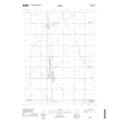
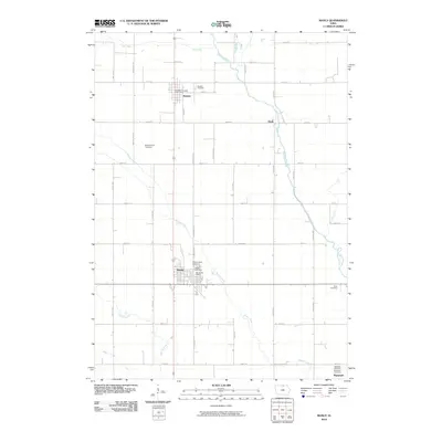 2010 Manly2010 Print · USGSCovers Plymouth, including Manly, Kensett, and other nearby areas
 - 2010 Map of Nora Springs, 2010 Print
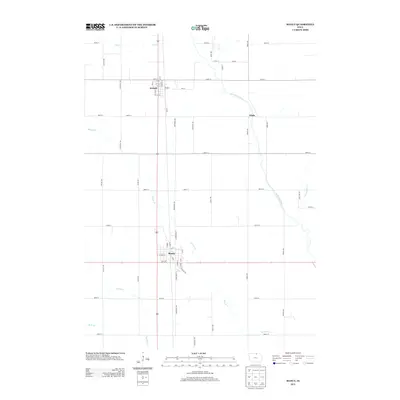
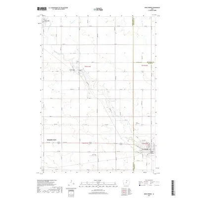
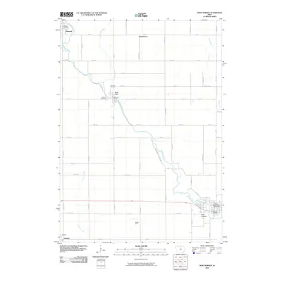 2010 Nora Springs2010 Print · USGSCovers Plymouth, including Mason City, Nora Springs, and other nearby areas
 - 2010 Map of Grafton, 2010 Print
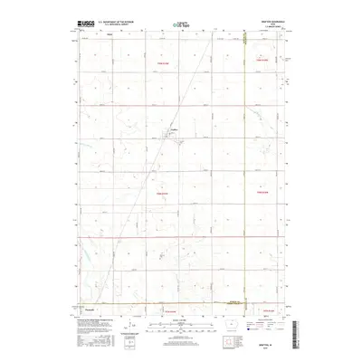
 2010 Grafton2010 Print · USGSCovers Plymouth, including Grafton, Bolan, and other nearby areas
 - 2013 Map of Mason City, 2013 Print
 2013 Mason City2013 Print · USGSCovers Plymouth, including Mason City, Plymouth Junction, and other nearby areas
 - 2013 Map of Manly, 2013 Print
 2013 Manly2013 Print · USGSCovers Plymouth, including Manly, Kensett, and other nearby areas
 - 2013 Map of Grafton, 2013 Print
 2013 Grafton2013 Print · USGSCovers Plymouth, including Grafton, Bolan, and other nearby areas
 - 2013 Map of Nora Springs, 2013 Print
 2013 Nora Springs2013 Print · USGSCovers Plymouth, including Mason City, Nora Springs, and other nearby areas
 - 2015 Map of Grafton, 2015 Print
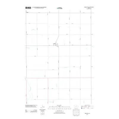
 2015 Grafton2015 Print · USGSCovers Plymouth, including Grafton, Bolan, and other nearby areas
 - 2015 Map of Nora Springs, 2015 Print
 2015 Nora Springs2015 Print · USGSCovers Plymouth, including Mason City, Nora Springs, and other nearby areas
 - 2015 Map of Manly, 2015 Print
 2015 Manly2015 Print · USGSCovers Plymouth, including Manly, Kensett, and other nearby areas
 - 2015 Map of Mason City, 2015 Print
 2015 Mason City2015 Print · USGSCovers Plymouth, including Mason City, Plymouth Junction, and other nearby areas
 - 2018 Map of Nora Springs, 2018 Print
 2018 Nora Springs2018 Print · USGSCovers Plymouth, including Mason City, Nora Springs, and other nearby areas
 - 2018 Map of Mason City, 2018 Print
 2018 Mason City2018 Print · USGSCovers Plymouth, including Mason City, Plymouth Junction, and other nearby areas
 - 2018 Map of Manly, 2018 Print
 2018 Manly2018 Print · USGSCovers Plymouth, including Manly, Kensett, and other nearby areas
 - 2018 Map of Grafton, 2018 Print
 2018 Grafton2018 Print · USGSCovers Plymouth, including Grafton, Bolan, and other nearby areas
Showing maps 1-25 of 29
Top cities near Plymouth
- Mason City historical maps
- Clear Lake historical maps
- Northwood historical maps
- Nora Springs historical maps
- Manly historical maps
- Saint Ansgar historical maps
See more
Frequently asked questions
- What are the different types of historical maps available for Plymouth?
- What is the oldest map of Plymouth?
- Where can I purchase historical maps of Plymouth for my home or office?
- Where can I download high-res historical maps of Plymouth?
- Are there historical topographic maps available for Plymouth?
- Is there historical aerial imagery available for Plymouth?
- Where are historical maps of Plymouth sourced from?