2020s Maps of Cherokee County, Iowa
Explore 16 historic maps of Cherokee County from the 2020s. These maps offer a rare glimpse into what life looked like during the 2020s — showing old roads, neighborhoods, homes, and landmarks that have changed or disappeared over time.
Whether you're researching your family's past, planning a metal detecting trip, or studying how Cherokee County's landscape evolved across the 2020s, these high-resolution maps are a powerful tool for exploring the history of this region.
- Focus on a specific era: All maps on this page are from the 2020s, giving you a focused view of this time period.
- See what’s changed: Compare century-old streets, trails, and buildings to today's modern landscape using overlays and satellite layers.
- Research with precision: Use these maps for genealogy, historical research, land use analysis, or educational projects.
- View, download, or print: Maps are fully viewable online in high resolution, and can be downloaded or printed for your own records.
Start exploring Cherokee County's history through authentic maps from the 2020s. This is your window into the past.
Cherokee County, IA maps
(16)- 2022 Map of Sutherland West, 2022 Print
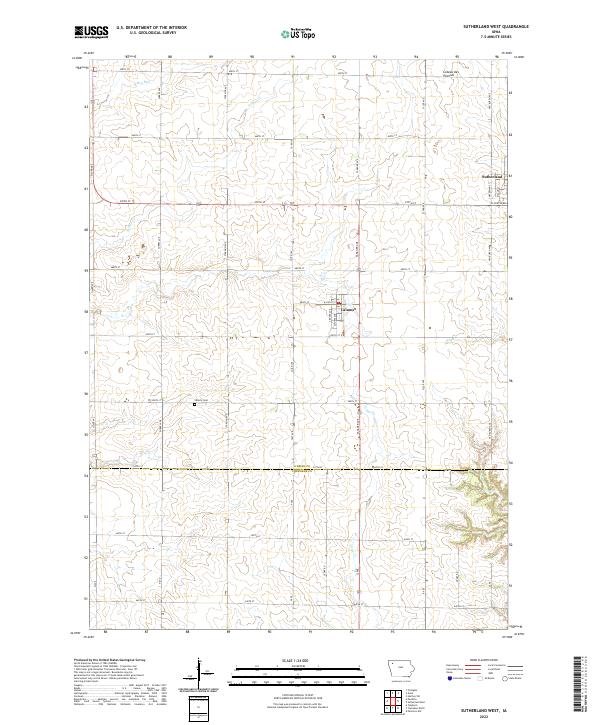 2022 Sutherland West2022 Print · USGSNorthwest Iowa's farm country and the southern edge of the Coteau des Prairies are detailed in this recent survey. Researchers can locate the Liberty Cem or trace the early township layouts of Sutherland and Calumet.
 - 2022 Map of Cleghorn, 2022 Print
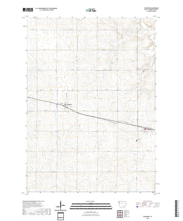 2022 Cleghorn2022 Print · USGSAgricultural life in Cherokee County is captured here in the early twenty-first century, showing the relationship between small-town Iowa and the surrounding farmland. Researchers can locate Cleghorn and Meriden, or trace the path of Whiskey Cr and the W Fork Little Sioux River.
 - 2022 Map of Peterson SW, 2022 Print
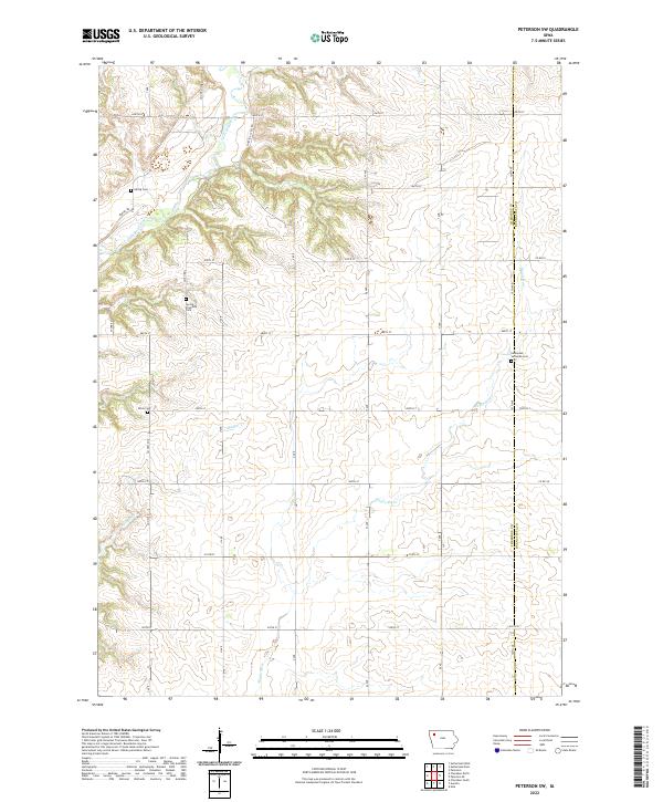 2022 Peterson SW2022 Print · USGSThe rural borderlands of Cherokee and Buena Vista counties come into focus in the early 2020s, showing a landscape of section-line roads and river valleys. Genealogists can locate family sites near Spring Township Cem, Afton Cem, and the Little Sioux River.
 - 2022 Map of Aurelia, 2022 Print
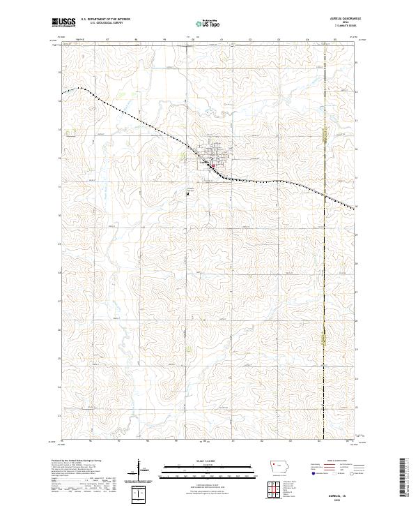 2022 Aurelia2022 Print · USGSAurelia and the surrounding Iowa farmlands are captured in this modern survey during a period of sustained agricultural productivity. Researchers can locate family sites near Pleasant Hill Cem or trace the watercourses of the Maple River and Pitcher Cr.
 - 2022 Map of Paullina, 2022 Print
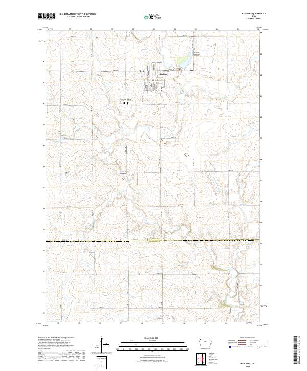 2022 Paullina2022 Print · USGSPaullina sits at the heart of this O'Brien County agricultural landscape as it appeared in the early 2020s. Researchers can trace family plots at West Prairie View Cem or follow the paths of Mill Creek and Whiskey Cr across the prairie.
 - 2022 Map of Fielding, 2022 Print
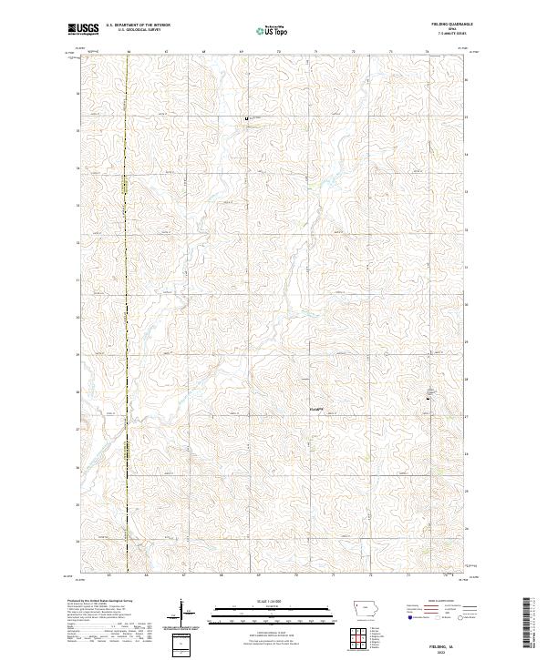 2022 Fielding2022 Print · USGSWestern Iowa's agricultural heartland is documented here in the early twenty-first century, spanning the border of Cherokee and Plymouth counties. Genealogists and local historians can locate Fielding and trace family sites near Trinity Cem or Mount Pleasant Cem.
 - 2022 Map of Quimby SE, 2022 Print
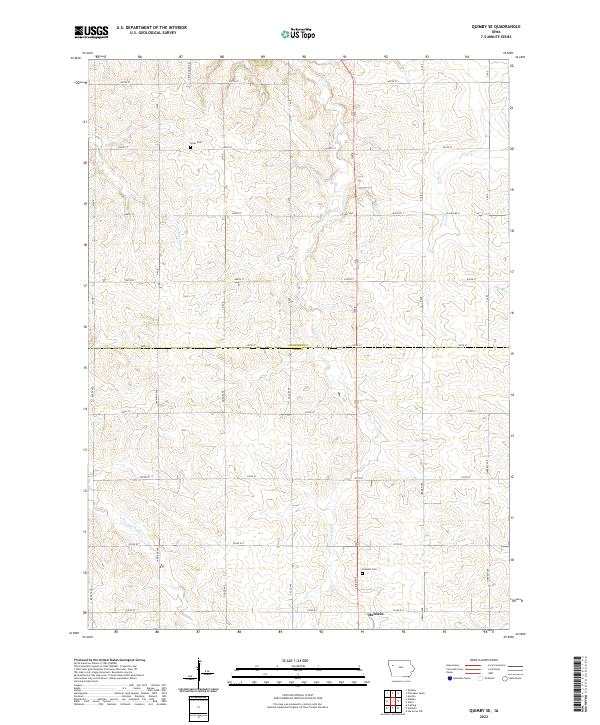 2022 Quimby SE2022 Print · USGSThe northern outskirts of Holstein and the rolling farmland of the Ida and Cherokee county line are captured here in the early 2020s. Genealogists can locate family sites near Holstein Cem or follow the paths of Silver Cr and Ashton Cr.
 - 2022 Map of Galva, 2022 Print
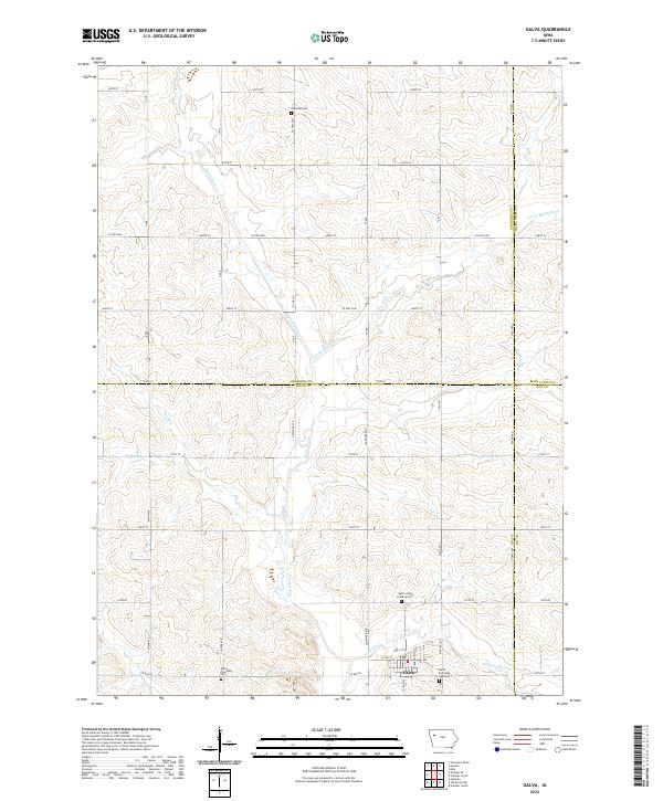 2022 Galva2022 Print · USGSThe rural landscape around the town of Galva, Iowa, is captured here in the early twenty-first century, at the meeting point of four counties. Researchers can locate family heritage sites like Diamond Cem and Saint Johns Lutheran Cem or trace the winding course of the Maple River.
 - 2022 Map of Pierson, 2022 Print
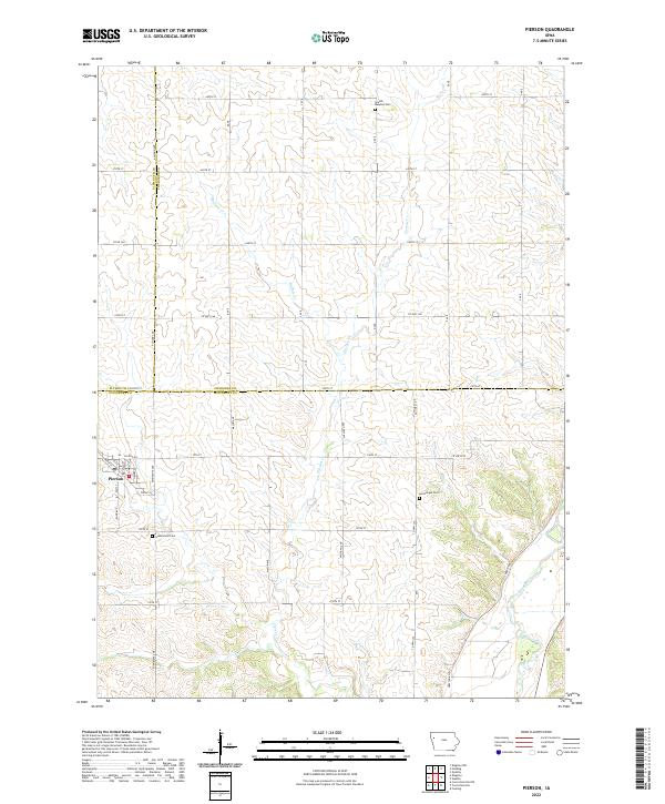 2022 Pierson2022 Print · USGSNorthwest Iowa's agricultural heartland is documented here in the early 2020s at the intersection of Plymouth, Cherokee, and Woodbury counties. Researchers can locate the town of Pierson and trace family roots at Grand Meadow Cem or Good Hope Cem.
 - 2022 Map of Washta, 2022 Print
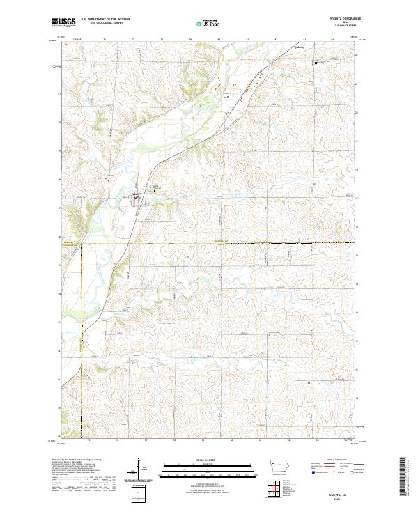 2022 Washta2022 Print · USGSThe Little Sioux River valley in Northwest Iowa is captured here in the 2020s, showing the agricultural grid surrounding Quimby and Washta. Genealogists can locate family sites at Sunset View Cem, Grandview Cem, and Fairview Cem among the rural sections.
 - 2022 Map of Marcus, 2022 Print
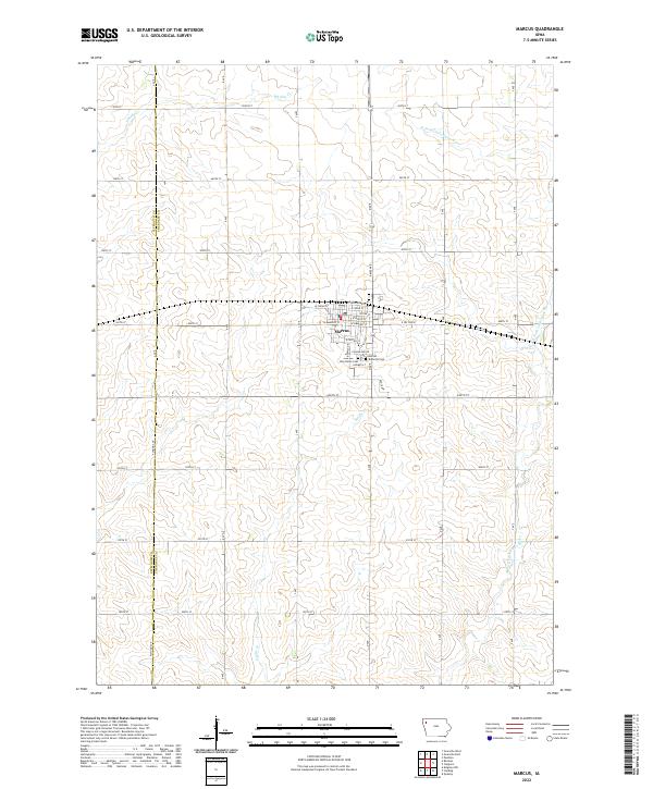 2022 Marcus2022 Print · USGSWestern Cherokee County is captured in the early 2020s, showing the settled prairie landscape around the town of Marcus. Genealogists and local historians can locate the Amherst Cemetery, Holy Name Cemetery, and the central PO serving this rural community.
 - 2022 Map of Cherokee North, 2022 Print
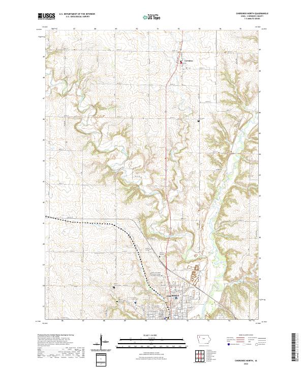 2022 Cherokee North2022 Print · USGSThe river-valley city of Cherokee and the rural township of Larrabee are shown here during the early twenty-first century. Genealogists and local historians can trace family plots at Cedar Cem and Hollow Cem or locate the Cherokee County Courthouse.
 - 2022 Map of Cherokee South, 2022 Print
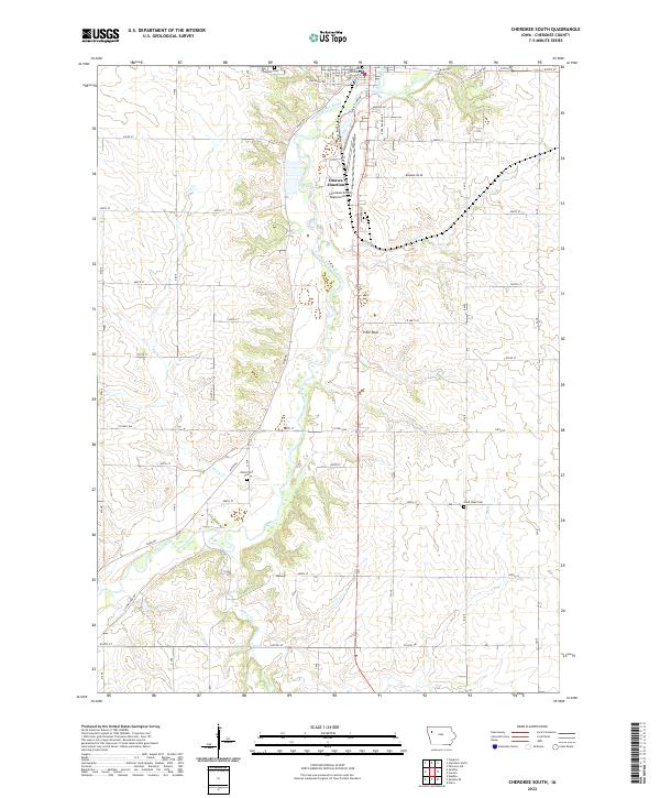 2022 Cherokee South2022 Print · USGSCherokee County in the early twenty-first century is defined by its agricultural grid and the deep valley of the Little Sioux River. Genealogists and local historians can trace the locations of Oak Hill Cem, West Point Cem, and the landmark Pilot Rock.
 - 2022 Map of Sutherland East, 2022 Print
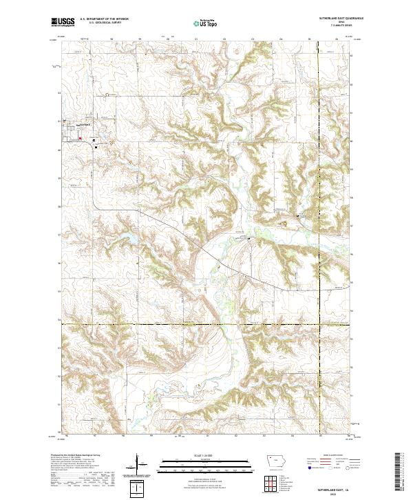 2022 Sutherland East2022 Print · USGSO'Brien County and its neighbors are captured here in the early 2020s, showing the rural landscape around the town of Sutherland. Researchers can locate specific burial sites like Hannibal Waterman Cem or trace the winding banks of the Little Sioux River.
 - 2022 Map of Quimby, 2022 Print
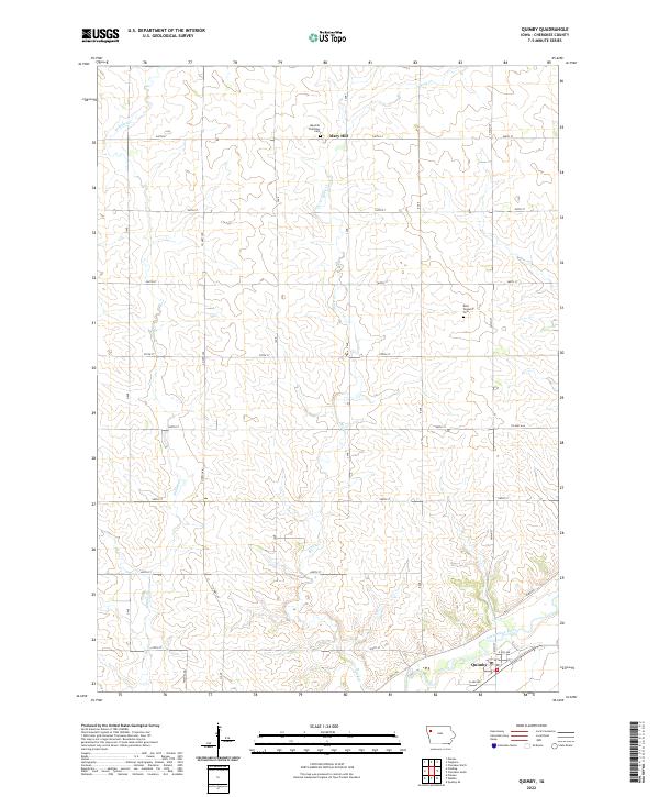 2022 Quimby2022 Print · USGSCherokee County agricultural lands and river valleys are captured here in the early 2020s. Researchers can locate family sites near the Maryhill Visitation Cem or trace the winding path of the Little Sioux River past Quimby.
 - 2022 Map of Granville East, 2022 Print
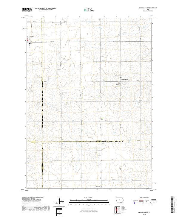 2022 Granville East2022 Print · USGSNorthwest Iowa farmland near the intersection of four counties is captured here in the early twenty-first century. Genealogists and local historians can locate rural landmarks like Saint Joseph Cem and Germantown, or trace the paths of Deep Cr and Whiskey Cr.
End of results
Showing maps 1-16 of 16
Top cities of Cherokee County
- Cherokee historical maps
- Marcus historical maps
- Aurelia historical maps
- Quimby historical maps
- Cleghorn historical maps
- Washta historical maps
See more
Frequently asked questions
- What are the different types of historical maps available for Cherokee County?
- What is the oldest map of Cherokee County?
- Where can I purchase historical maps of Cherokee County for my home or office?
- Where can I download high-res historical maps of Cherokee County?
- Are there historical topographic maps available for Cherokee County?
- Is there historical aerial imagery available for Cherokee County?
- Where are historical maps of Cherokee County sourced from?