Old Maps of Cherokee County, Iowa for Academic Research
Study the evolution of Cherokee County with 100 high-resolution historic maps. Whether you're teaching, researching, or modeling changes in land use, these maps provide essential visual documentation of urban, environmental, and geographic change.
- Analyze long-term change: Track patterns in development, transportation, and natural features.
- Ideal for environmental or urban studies: Support academic projects with primary historical map data.
- Use in the classroom or lab: Educators and researchers rely on these maps to bring historical context to life.
These maps are a powerful tool for teaching, research, and visualizing how Cherokee County has changed over the decades.
Cherokee County, IA maps
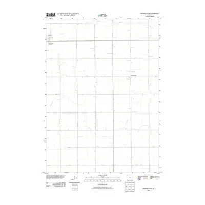
(100)- 1954 Map of Fort Dodge, 1968 Print
 1954 Fort Dodge1968 Print · USGSNorthwest Iowa is shown here during a period of steady industrial and rail activity in the mid-fifties. Researchers can trace the extensive rail lines connecting Fort Dodge to mining and manufacturing sites like Gypsum and Industry Station.3 unique versions available
 - 1957 Map of Fort Dodge
 1957 Fort Dodge1957 Print · USGSWest-central Iowa thrived as a network of rail-linked agricultural hubs and river towns during the mid-fifties. Researchers can trace the development of the Des Moines River valley and locate historic landmarks in Fort Dodge, Storm Lake, and Lehigh.
 - 1958 Map of Fort Dodge
 1958 Fort Dodge1958 Print · USGSWestern Iowa in the mid-1950s reveals a productive landscape of river-valley industry and prairie agricultural hubs. Researchers can trace the development of the Des Moines River corridor through Fort Dodge and locate vanished local landmarks near Coalville or Storm Lake.
 - 1969 Map of Pierson, 1971 Print
 1969 Pierson1971 Print · USGSThe rural landscape of Woodbury and Plymouth counties is captured here in the late sixties, centered on the village of Pierson. Researchers can trace the path of the Illinois Central Railroad Grade or locate early community centers like Grand Meadow Sch and Meadow Star Ch.
 - 1969 Map of Aurelia, 1971 Print
 1969 Aurelia1971 Print · USGSAurelia and its surrounding townships are captured in the late sixties as a thriving rail-centered agricultural community. Researchers can trace family sites near Pleasant Hill Cem, follow the Illinois Central line, or locate the Campground Larson Lake County Park.
 - 1969 Map of Cleghorn, 1971 Print
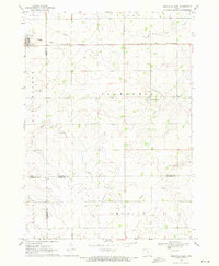
 1969 Cleghorn1971 Print · USGSCherokee County agriculture and transit are captured here in the late sixties as the Illinois Central railroad serves the prairie. Trace the homesteads and infrastructure surrounding Cleghorn, Meriden, and family landmarks like Leos Pond.
 - 1969 Map of Fielding, 1971 Print
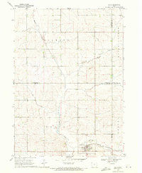
 1969 Fielding1971 Print · USGSCherokee and Plymouth counties are captured here in the late sixties, showing a landscape defined by the winding Little Sioux River. Genealogists and local historians can locate the Fielding settlement and rural landmarks like Mt Pleasant Ch and Trinity Cem.
 - 1969 Map of Marcus, 1971 Print
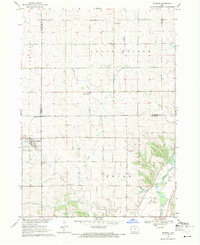
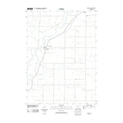
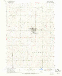 1969 Marcus1971 Print · USGSMarcus and the surrounding Northwest Iowa townships are shown here in the late sixties at a peak of agricultural development. Genealogists can trace family footprints at Holy Name Cem and Trinity Ch or follow the Illinois Central rail line.
 - 1969 Map of Cherokee South, 1971 Print
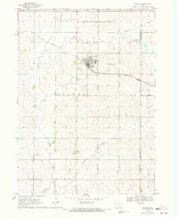
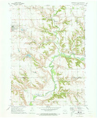
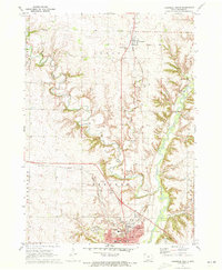
 1969 Cherokee South1971 Print · USGSCherokee and the surrounding Iowa townships appear in the late 1960s as the regional hub of the Little Sioux River valley. Genealogists and local historians can trace rural landmarks from Mt Olive Ch and Lincoln Sch to the grounds of Oak Hill Cemetery.
 - 1969 Map of Granville East, 1971 Print
 1969 Granville East1971 Print · USGSNorthwest Iowa's farm country comes into focus in the late sixties, where rail lines and section roads define the prairie. Genealogists and local historians can trace family ties at St Josephs Cem or locate the village of Germantown near Whiskey Creek.
 - 1969 Map of Galva, 1971 Print
 1969 Galva1971 Print · USGSAgricultural life in Ida County centered on Galva during the late sixties, where the railroad and river valleys shaped the local landscape. Genealogists and researchers can locate family plots at Diamond Cem or trace the course of the Chicago and North Western line.
 - 1969 Map of Quimby SE, 1971 Print
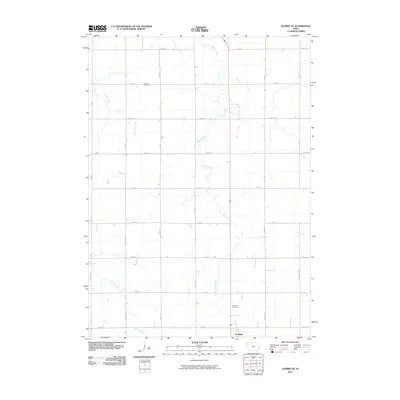
 1969 Quimby SE1971 Print · USGSNorthwestern Iowa farmland at the end of the 1960s reveals a landscape of rural sections and expanding towns. Genealogists can trace family land across Griggs township and locate the Silver Cem and Holstein Cem near the town of Holstein.
 - 1969 Map of Washta, 1971 Print
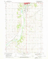
 1969 Washta1971 Print · USGSThe Little Sioux River valley in northwestern Iowa is captured here in the late sixties, showing a landscape of river-bend parks and rail-connected towns. Researchers can trace family sites at Sunset View Cem, find the old Willow Sch, or follow the Illinois Central through Washta.
 - 1969 Map of Quimby, 1971 Print
 1969 Quimby1971 Print · USGSQuimby and the southeastern Cherokee County landscape are captured here in the late sixties, centered on the Little Sioux River valley. Genealogists and local historians can trace the Illinois Central railroad corridor through Quimby and locate local landmarks like Mary Hill and the river-side Gravel Pits.
 - 1971 Map of Peterson SW, 1973 Print
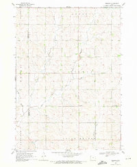
 1971 Peterson SW1973 Print · USGSThe borderlands of Cherokee and Buena Vista counties come into focus during the early 1970s, featuring the sharp valley of the Little Sioux River. Genealogists and researchers can trace rural homesteads near the Spring Cemetery, Immanuel Church, and the quiet grounds of Afton Cemetery.
 - 1971 Map of Paullina, 1973 Print
 1971 Paullina1973 Print · USGSNorthwestern Iowa's agricultural landscape is captured here in the early 1970s, centered on the rail-connected town of Paullina. Researchers can locate family landmarks like West Prairie View Cem, the Oakdale Ch, and early recreation at Mill Creek State Park.
 - 1971 Map of Sutherland West, 1973 Print
 1971 Sutherland West1973 Print · USGSNorthwestern Iowa farm country is captured here in the early seventies, centered on the rail communities of Sutherland and Calumet. Genealogists and local researchers can trace family lands near Liberty Cem or locate old industrial sites like the local Gravel Pits.
 - 1971 Map of Sutherland East, 1973 Print
 1971 Sutherland East1973 Print · USGSSutherland and the Little Sioux River valley are captured here in the early 1970s, showing a landscape defined by prairie agriculture and river bluffs. Researchers can locate Waterman Cem, the Chicago and North Western line, and Indian Village State Park.
 - 1971 Map of Cherokee North, 1973 Print
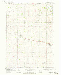
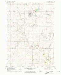
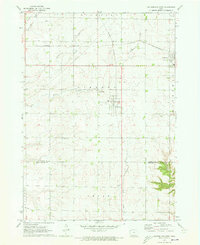
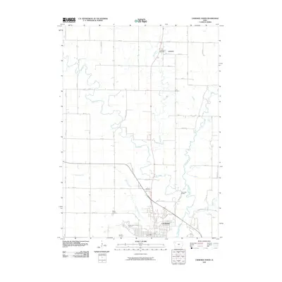
 1971 Cherokee North1973 Print · USGSNorthwestern Iowa in the early seventies centers on the winding Little Sioux River and the growing county seat. Genealogists and local historians can trace the foundations of Cherokee, from the Cherokee State Hospital to Cedar Cem and Webster Sch.
 - 1985 Map of Storm Lake
 1985 Storm Lake1985 Print · USGSNorthwest Iowa's agricultural heartland is documented here in the mid-eighties, showing the vital rail-and-river network of the Little Sioux valley. Researchers can trace the legacy of regional hubs and smaller rail towns like Sutherland, Paullina, and Cherokee.3 unique versions available
 - 2010 Map of Quimby SE, 2010 Print
 2010 Quimby SE2010 Print · USGSCovers Cherokee County, including Holstein, Ida County, and other nearby areas
 - 2010 Map of Cherokee North, 2010 Print
 2010 Cherokee North2010 Print · USGSCovers Cherokee County, including Cherokee, Larrabee, and other nearby areas
 - 2010 Map of Peterson SW, 2010 Print
 2010 Peterson SW2010 Print · USGSCovers Cherokee County, including Buena Vista County, United States, and other nearby areas
 - 2010 Map of Washta, 2010 Print
 2010 Washta2010 Print · USGSCovers Cherokee County, including Quimby, Washta, and other nearby areas
 - 2010 Map of Granville East, 2010 Print
 2010 Granville East2010 Print · USGSCovers Cherokee County, including Granville, Germantown, and other nearby areas
Showing maps 1-25 of 100
Top cities of Cherokee County
- Cherokee historical maps
- Marcus historical maps
- Aurelia historical maps
- Quimby historical maps
- Cleghorn historical maps
- Washta historical maps
See more
Frequently asked questions
- What are the different types of historical maps available for Cherokee County?
- What is the oldest map of Cherokee County?
- Where can I purchase historical maps of Cherokee County for my home or office?
- Where can I download high-res historical maps of Cherokee County?
- Are there historical topographic maps available for Cherokee County?
- Is there historical aerial imagery available for Cherokee County?
- Where are historical maps of Cherokee County sourced from?