Old Maps of Dresden, Iowa for Academic Research
Study the evolution of Dresden with 9 high-resolution historic maps. Whether you're teaching, researching, or modeling changes in land use, these maps provide essential visual documentation of urban, environmental, and geographic change.
- Analyze long-term change: Track patterns in development, transportation, and natural features.
- Ideal for environmental or urban studies: Support academic projects with primary historical map data.
- Use in the classroom or lab: Educators and researchers rely on these maps to bring historical context to life.
These maps are a powerful tool for teaching, research, and visualizing how Dresden has changed over the decades.
Dresden, IA maps
(9)- 1954 Map of Waterloo, 1968 Print
 1954 Waterloo1968 Print · USGSCentral Iowa at the height of its mid-century agricultural and rail boom features the growing hubs of Waterloo and Cedar Falls. Genealogists and researchers can trace the rail corridors of the Chicago Great Western and find local landmarks like Iowa State College and Brushy Ridge.4 unique versions available
 - 1955 Map of Waterloo
 1955 Waterloo1955 Print · USGSCentral Iowa in the mid-fifties presents a dense landscape of rail-connected farming towns and growing river cities. Researchers can trace ancestral roots and old transport routes through Waterloo, Marshalltown, and Ames, while locating rural Cemeteries and local Quarries.2 unique versions available
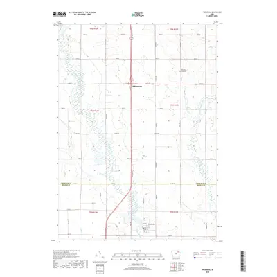
 - 1971 Map of Frederika, 1973 Print
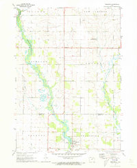 1971 Frederika1973 Print · USGSBremer and Chickasaw counties come to life in this early 1970s survey of the river valleys in northeast Iowa. Researchers can trace rural life through landmarks like Williamstown, the small St Johns Cem, and the unique Leo Aero Ranch Landing Strip near the river.
 - 1984 Map of Waverly, 1985 Print
 1984 Waverly1985 Print · USGSNortheast Iowa in the mid-eighties shows a robust network of river towns and rail corridors connecting agricultural centers. Researchers can trace family sites near Garden of Memories Cem or follow the Chicago and North Western line through Janesville and Waverly.2 unique versions available
 - 2010 Map of Frederika, 2010 Print
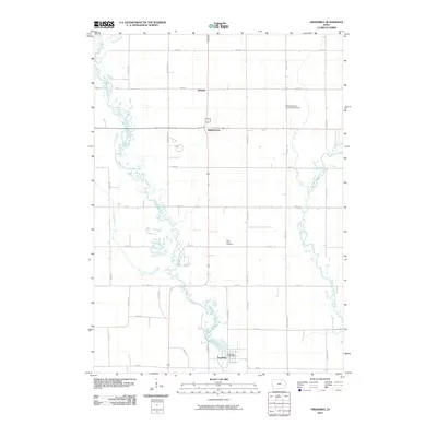 2010 Frederika2010 Print · USGSCovers Dresden, including Frederika, Williamstown, and other nearby areas
 - 2013 Map of Frederika, 2013 Print
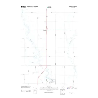 2013 Frederika2013 Print · USGSCovers Dresden, including Frederika, Williamstown, and other nearby areas
 - 2015 Map of Frederika, 2015 Print
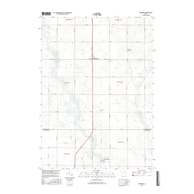 2015 Frederika2015 Print · USGSCovers Dresden, including Frederika, Williamstown, and other nearby areas
 - 2018 Map of Frederika, 2018 Print
 2018 Frederika2018 Print · USGSCovers Dresden, including Frederika, Williamstown, and other nearby areas
 - 2022 Map of Frederika, 2022 Print
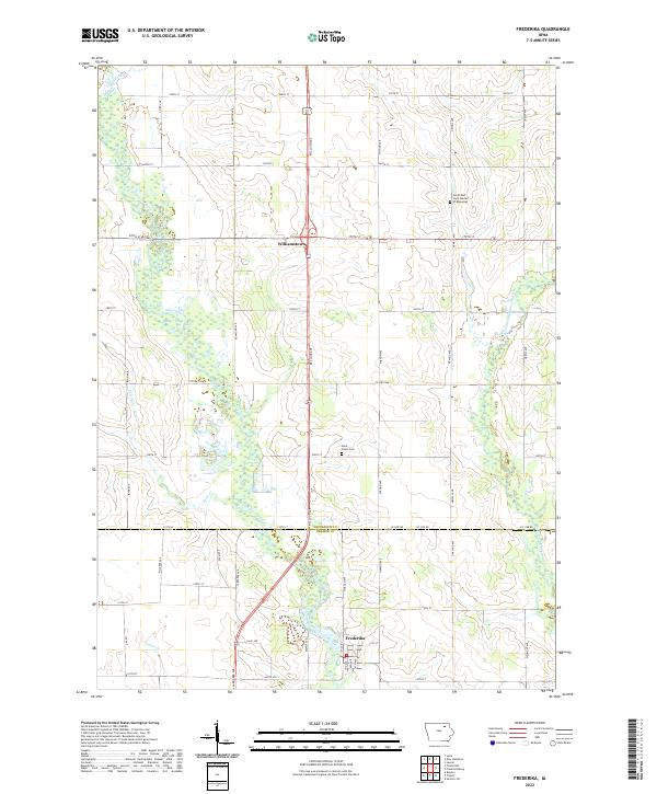 2022 Frederika2022 Print · USGSThe river valleys of southern Chickasaw County meet the Bremer County line in this modern study of eastern Iowa. Researchers can trace the grid of country roads to the settlement of Frederika, Saint Johns Cem, and the winding Wapsipinicon River.
End of results
Showing maps 1-9 of 9
Top cities near Dresden
- New Hampton historical maps
- Sumner historical maps
- Nashua historical maps
- Tripoli historical maps
- Fredericksburg historical maps
- Lawler historical maps
See more
Frequently asked questions
- What are the different types of historical maps available for Dresden?
- What is the oldest map of Dresden?
- Where can I purchase historical maps of Dresden for my home or office?
- Where can I download high-res historical maps of Dresden?
- Are there historical topographic maps available for Dresden?
- Is there historical aerial imagery available for Dresden?
- Where are historical maps of Dresden sourced from?