2020s Maps of Clarke County, Iowa
Explore 15 historic maps of Clarke County from the 2020s. These maps offer a rare glimpse into what life looked like during the 2020s — showing old roads, neighborhoods, homes, and landmarks that have changed or disappeared over time.
Whether you're researching your family's past, planning a metal detecting trip, or studying how Clarke County's landscape evolved across the 2020s, these high-resolution maps are a powerful tool for exploring the history of this region.
- Focus on a specific era: All maps on this page are from the 2020s, giving you a focused view of this time period.
- See what’s changed: Compare century-old streets, trails, and buildings to today's modern landscape using overlays and satellite layers.
- Research with precision: Use these maps for genealogy, historical research, land use analysis, or educational projects.
- View, download, or print: Maps are fully viewable online in high resolution, and can be downloaded or printed for your own records.
Start exploring Clarke County's history through authentic maps from the 2020s. This is your window into the past.
Clarke County, IA maps
(15)- 2022 Map of Tingley NE, 2022 Print
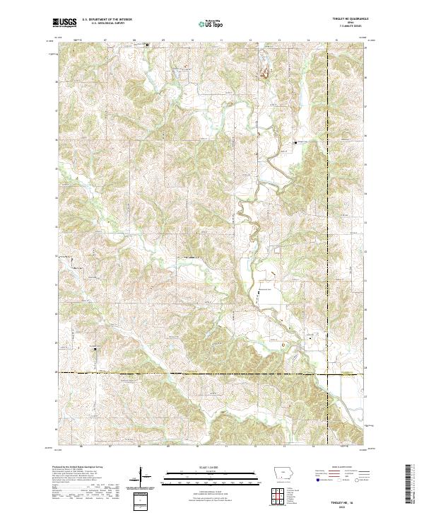 2022 Tingley NE2022 Print · USGSSouthern Iowa rural life at the intersection of four counties is documented here through a landscape shaped by the Thompson River. Family historians can precisely locate local burial sites including Otterbein Cem, Olinger Cem, and Cornwall Cem.
 - 2022 Map of Lacelle, 2022 Print
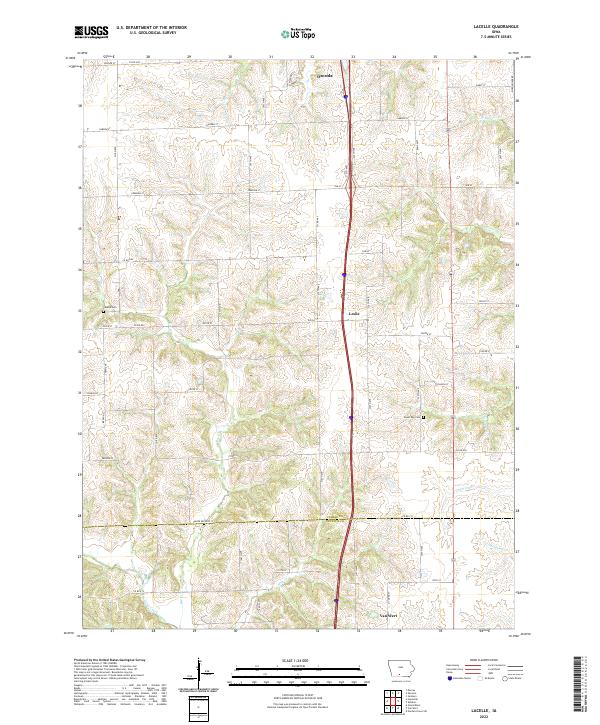 2022 Lacelle2022 Print · USGSSouth of Osceola in the early 2020s, this portion of Clarke and Decatur counties shows a landscape defined by traditional agriculture and winding creek systems. Local historians can trace family ties at Lacelle Cem or follow the waters of Wolf Cr and Chariton Cr through the countryside.
 - 2022 Map of Hopeville, 2022 Print
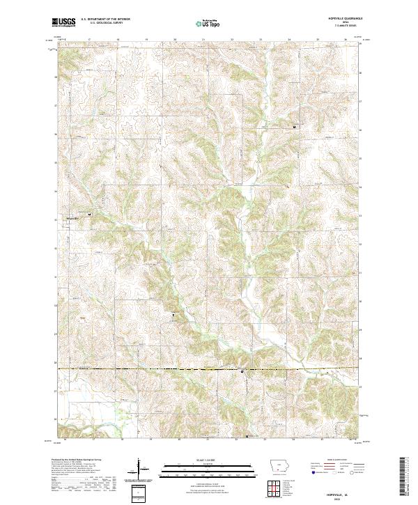 2022 Hopeville2022 Print · USGSThe rural border of Clarke and Decatur Counties is captured here in the early twenty-first century, showing the settlement of Hopeville. Local historians and genealogists can trace family footprints across numerous sites like Sanders Cem, Gregg Cem, and the banks of the Thompson River.
 - 2022 Map of Weldon, 2022 Print
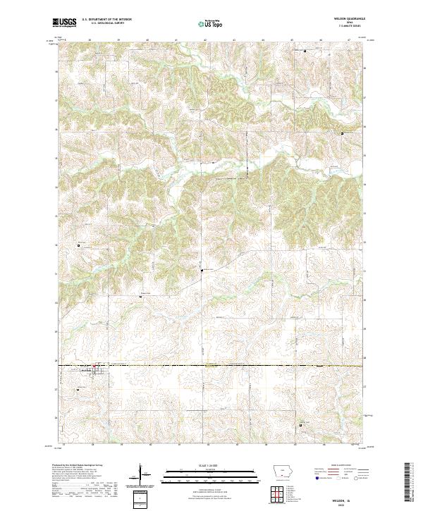 2022 Weldon2022 Print · USGSSouthern Iowa farmland around the border of Clarke and Decatur counties remains defined by its quiet creeks and family burial grounds. Researchers can trace local roots at Ellis Cem, Metier Cem, and the settlement of Weldon near the Weldon River.
 - 2022 Map of East Peru, 2022 Print
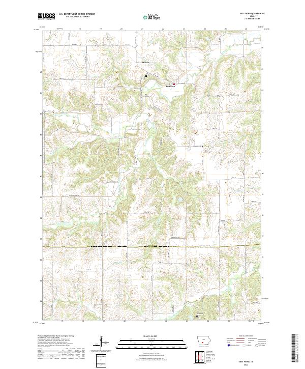 2022 East Peru2022 Print · USGSMadison and Clarke counties are shown in this contemporary study of southern Iowa's rolling creek valleys. Researchers can trace the lineage of local settlements through Old Peru, East Peru, and rural landmarks like the Ebenezer Cem and Union Cem.
 - 2022 Map of Lorimor North, 2022 Print
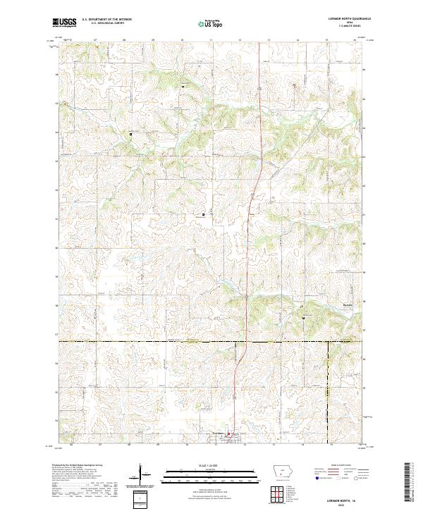 2022 Lorimor North2022 Print · USGSThe rural southern reaches of Madison County are captured here in the early twenty-first century, showcasing a landscape defined by farming and family history. Researchers can locate several historic burial grounds like Hamblin Cem and Barney Cem or trace the winding courses of S Fork Clanton Cr.
 - 2022 Map of Lorimor South, 2022 Print
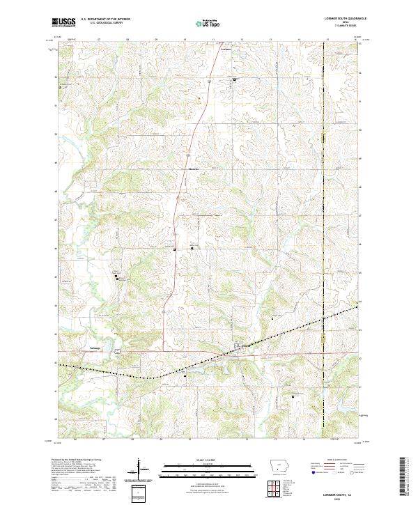 2022 Lorimor South2022 Print · USGSUnion County farmland near the Clarke County line is documented here in the early twenty-first century. Genealogists can locate family sites at Mount Pisgah Cemetery, Beulah Cemetery, and the small settlement of Monette.
 - 2022 Map of Truro, 2022 Print
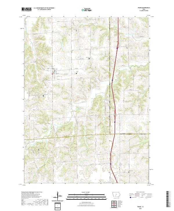 2022 Truro2022 Print · USGSThe intersection of Madison, Warren, and Clarke counties comes into focus in this recent survey of south-central Iowa. Genealogists can locate several local burial grounds including Young Cemetery, Field Cemetery, and Fremont Cemetery near the town of Truro.
 - 2022 Map of Woodburn, 2022 Print
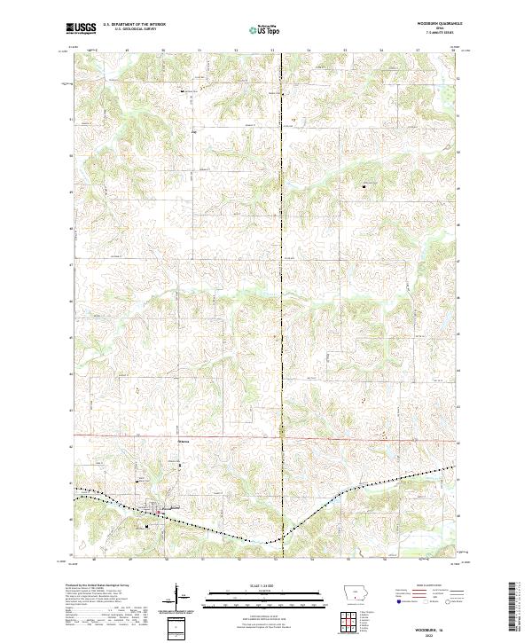 2022 Woodburn2022 Print · USGSSouthern Iowa farmland along the Clarke and Lucas County line is documented here in the early twenty-first century. Genealogists can locate family names and burial sites at Woodburn Cem, Ottawa Cem, and the rural Wren Hill Cem.
 - 2022 Map of Le Roy, 2022 Print
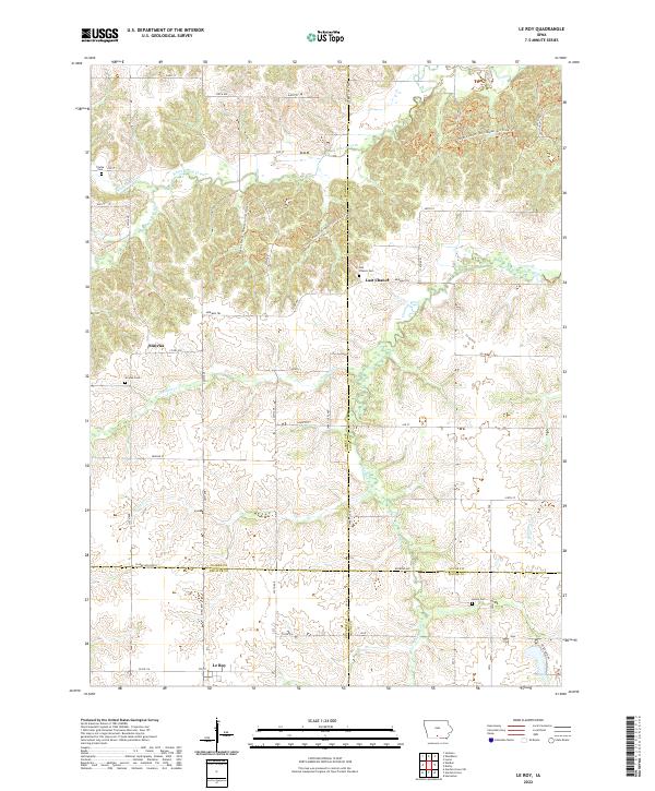 2022 Le Roy2022 Print · USGSSouthern Iowa’s multi-county borderlands are documented here, where early migration paths intersect with quiet rural settlements. Researchers can locate family burial grounds like Smyrna Cem and Gwinn Cem alongside the historic Morman Trl.
 - 2023 Map of New Virginia, 2023 Print
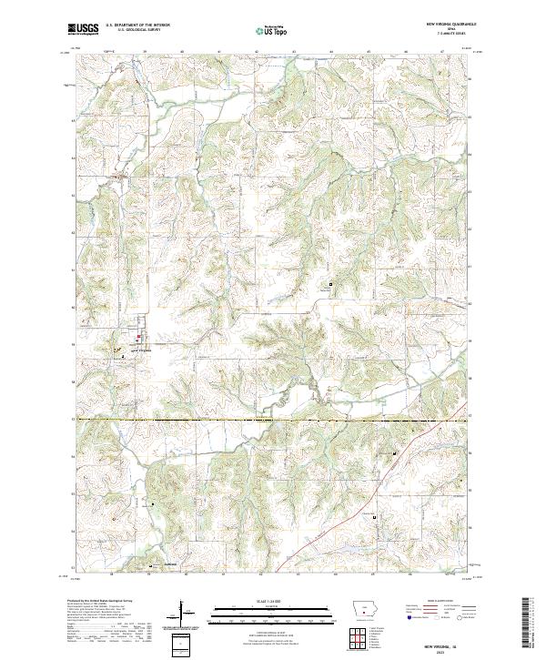 2023 New Virginia2023 Print · USGSSouthern Iowa's rural character is on full display here in the early twenty-first century, centered on the town of New Virginia. Genealogists can trace family locations near local landmarks like Beymer Cem, Jamison, and the winding South River.
 - 2023 Map of Medora, 2023 Print
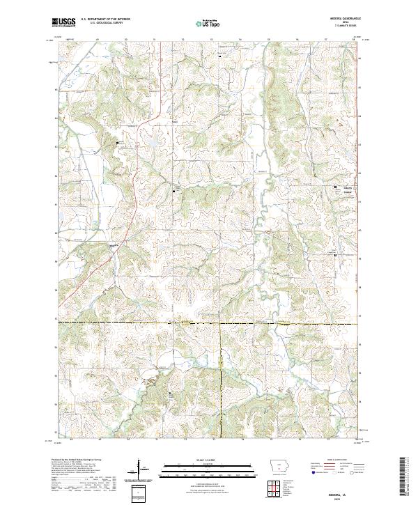 2023 Medora2023 Print · USGSAgricultural ridges and winding creek valleys define this portion of Warren County in recent years. Researchers can trace family history through numerous rural landmarks like Indian Valley Cem, Bethel Chapel Cem, and the settlement of Liberty Center.
 - 2023 Map of Murray, 2023 Print
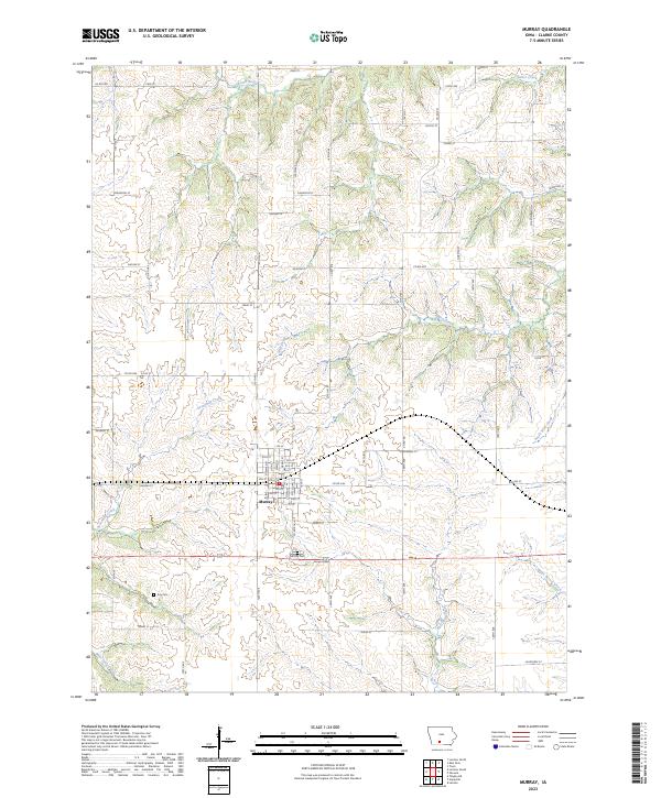 2023 Murray2023 Print · USGSMurray sits at a vital crossroads in Clarke County, surrounded by a complex network of Iowa prairie creeks. Researchers can trace the town's detailed street grid and locate family burial sites at Murray Cem and the more remote Troy Cem.
 - 2023 Map of Jamison, 2023 Print
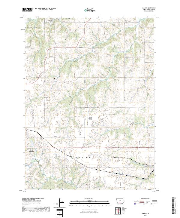 2023 Jamison2023 Print · USGSClarke County, Iowa, is shown in this modern survey as the agricultural landscape meets the growing north side of Osceola. Researchers can trace rural lineages at Twyford Cem and Union Chapel Cem or follow the many branches of North Otter Creek.
 - 2023 Map of Osceola, 2023 Print
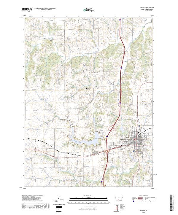 2023 Osceola2023 Print · USGSOsceola and the surrounding Clarke County landscape are shown here in the 2020s, highlighting the city's role as a county seat. Researchers can find Maple Hill Cem, the Southwestern Community College Osceola Center, and the banks of West Lake.
End of results
Showing maps 1-15 of 15
Top cities of Clarke County
Frequently asked questions
- What are the different types of historical maps available for Clarke County?
- What is the oldest map of Clarke County?
- Where can I purchase historical maps of Clarke County for my home or office?
- Where can I download high-res historical maps of Clarke County?
- Are there historical topographic maps available for Clarke County?
- Is there historical aerial imagery available for Clarke County?
- Where are historical maps of Clarke County sourced from?