Old Maps of Bloomfield, Iowa for Genealogy
Trace your family roots with 17 historic maps of Bloomfield. These high-res maps reveal old neighborhoods, homesites, landmarks, and streets — helping you uncover where your ancestors lived and how the area evolved over time.
- Explore historic neighborhoods: Identify where your relatives may have lived in the 1800s or 1900s.
- Compare maps over time: Trace the changes in streets, buildings, and landmarks for multi-generational research.
- Perfect for genealogy & ancestry research: Used by family historians and researchers to map out lineage and migration.
These maps are an incredible resource for exploring your personal connection to Bloomfield's past.
Bloomfield, IA maps
(17)- 1954 Map of Centerville, 1967 Print
 1954 Centerville1967 Print · USGSThe Iowa-Missouri borderlands at mid-century reveal a landscape shaped by river valleys and the height of the regional rail network. Genealogists and historians can trace the paths of the Wabash railroad and locate old townsites like Mystic, Moulton, and Greentop.3 unique versions available
 - 1956 Map of Ottumwa South, 1958 Print
 1956 Ottumwa South1958 Print · USGSSouthern Iowa in the mid-fifties reveals a landscape of transition where rural schoolhouses and busy rail lines connected small farming communities. Researchers can trace family history at sites like Mars Hill Ch, Lester Cem, and the old rail stop at Drakesville (Station).2 unique versions available
 - 1957 Map of Centerville
 1957 Centerville1957 Print · USGSThe Iowa-Missouri borderlands in the mid-fifties reveal a landscape of river-valley agriculture and vital rail corridors. Genealogists and historians can trace family-named landmarks and small-town growth in Centerville, Kirksville, and along the Wabash railroad line.
 - 1958 Map of Centerville
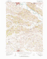
 1958 Centerville1958 Print · USGSThe Iowa-Missouri borderlands come into focus during the mid-fifties, showing a landscape defined by river valleys and intersecting rail lines. Genealogists and local historians can trace family roots through dozens of rural hubs like Bloomfield, Unionville, and Corydon.
 - 1979 Map of Bloomfield South, 1980 Print
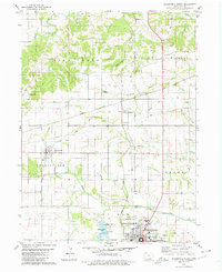
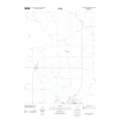
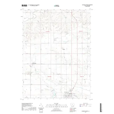
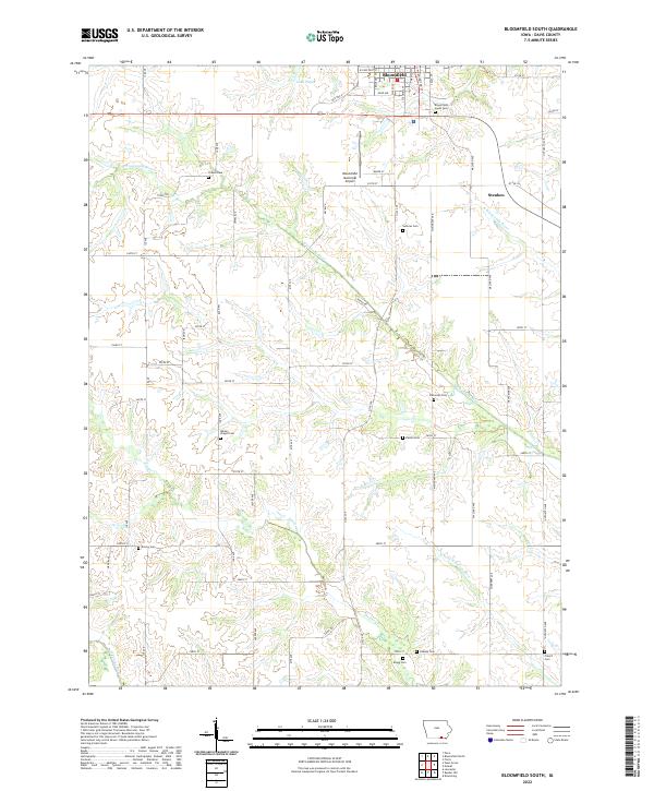
 1979 Bloomfield South1980 Print · USGSThe southern outskirts of the Davis County seat are captured in the late seventies, showing the landscape between the South Wyaconda River and Fabius R. Genealogists can locate several family and community burial sites, including Bloomfield South Cem and Insweep Cem.2 unique versions available
 - 1980 Map of Bloomfield North
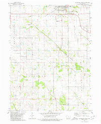
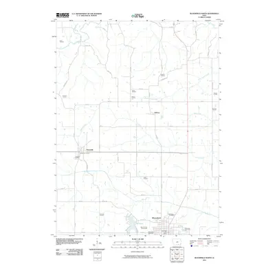
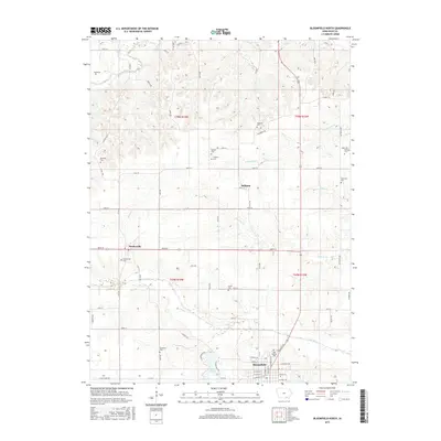
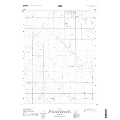
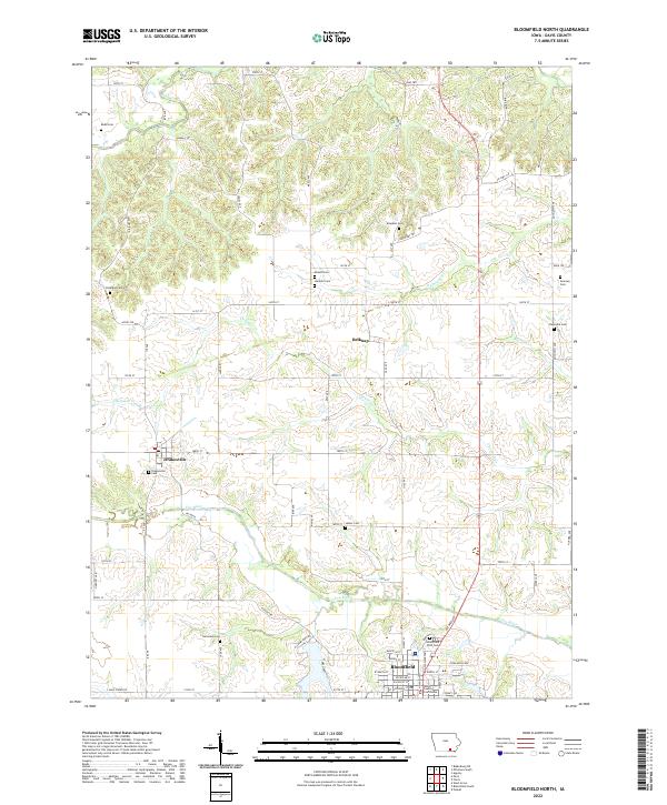
 1980 Bloomfield North1980 Print · USGSDavis County's northern townships are captured here in the late twentieth century, showing the rural landscape surrounding the county seat. Genealogists can trace family landmarks like Dunnville Ch, the Odd Fellows Cem, and the rail junction at Belknap.2 unique versions available
 - 1981 Map of Centerville, 1982 Print
 1981 Centerville1982 Print · USGSThe borderlands of southern Iowa and northern Missouri are captured here in the early eighties as Rathbun Lake and the Chariton River define the local geography. Researchers can trace historic rail lines like the Norfolk and Western and locate vanished hamlets such as Coal City and Glenwood Junction.
 - 2010 Map of Bloomfield South, 2010 Print
 2010 Bloomfield South2010 Print · USGSCovers Bloomfield, including Steuben, Davis County, and other nearby areas
 - 2010 Map of Bloomfield North, 2010 Print
 2010 Bloomfield North2010 Print · USGSCovers Bloomfield, including Drakesville, Belknap, and other nearby areas
 - 2013 Map of Bloomfield North, 2013 Print
 2013 Bloomfield North2013 Print · USGSCovers Bloomfield, including Drakesville, Belknap, and other nearby areas
 - 2013 Map of Bloomfield South, 2013 Print
 2013 Bloomfield South2013 Print · USGSCovers Bloomfield, including Steuben, Davis County, and other nearby areas
 - 2015 Map of Bloomfield South, 2015 Print
 2015 Bloomfield South2015 Print · USGSCovers Bloomfield, including Steuben, Davis County, and other nearby areas
 - 2015 Map of Bloomfield North, 2015 Print
 2015 Bloomfield North2015 Print · USGSCovers Bloomfield, including Drakesville, Belknap, and other nearby areas
 - 2018 Map of Bloomfield South, 2018 Print
 2018 Bloomfield South2018 Print · USGSCovers Bloomfield, including Steuben, Davis County, and other nearby areas
 - 2018 Map of Bloomfield North, 2018 Print
 2018 Bloomfield North2018 Print · USGSCovers Bloomfield, including Drakesville, Belknap, and other nearby areas
 - 2022 Map of Bloomfield South, 2022 Print
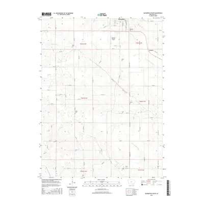
 2022 Bloomfield South2022 Print · USGSThe rural countryside of southern Iowa is meticulously documented in this recent survey of the lands surrounding Bloomfield. Researchers can trace family history through a high density of rural burial sites, including Pollard Cem, Sullivan Cem, and Davies Cem.
 - 2022 Map of Bloomfield North, 2022 Print
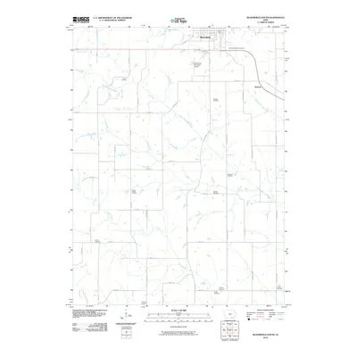
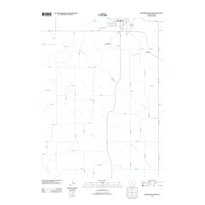
 2022 Bloomfield North2022 Print · USGSDavis County's rural heritage is on display in this contemporary survey of the area north of Bloomfield. Genealogists can locate numerous historic family burial grounds, including Roland Cem, Breeding Cem, and the Drakesville Cem near the Fox River.
End of results
Showing maps 1-17 of 17
Top cities near Bloomfield
- Eldon historical maps
- Lancaster historical maps
- Blakesburg historical maps
- Pulaski historical maps
- Glenwood historical maps
- Drakesville historical maps
See more
Frequently asked questions
- What are the different types of historical maps available for Bloomfield?
- What is the oldest map of Bloomfield?
- Where can I purchase historical maps of Bloomfield for my home or office?
- Where can I download high-res historical maps of Bloomfield?
- Are there historical topographic maps available for Bloomfield?
- Is there historical aerial imagery available for Bloomfield?
- Where are historical maps of Bloomfield sourced from?