Old Maps of Arlington, Iowa for Academic Research
Study the evolution of Arlington with 18 high-resolution historic maps. Whether you're teaching, researching, or modeling changes in land use, these maps provide essential visual documentation of urban, environmental, and geographic change.
- Analyze long-term change: Track patterns in development, transportation, and natural features.
- Ideal for environmental or urban studies: Support academic projects with primary historical map data.
- Use in the classroom or lab: Educators and researchers rely on these maps to bring historical context to life.
These maps are a powerful tool for teaching, research, and visualizing how Arlington has changed over the decades.
Arlington, IA maps
(18)- 1901 Map of Oelwein
 1901 Oelwein1901 Print · USGSNortheast Iowa at the turn of the century was a bustling network of rail-side towns and river valleys. Genealogists can trace family locations across dozens of early settlements like Strawberry Point, Hawkeye, and the railroad junction at Oelwein.4 unique versions available
 - 1959 Map of Dubuque, 1982 Print
 1959 Dubuque1982 Print · USGSThe Tri-State region comes alive in the mid-twentieth century as a hub of river commerce and rail transit. Genealogists and historians can trace the paths of the Illinois Central Gulf through Dubuque or locate the Savanna Ordnance Depot and Lock and Dam No 11.
 - 1961 Map of Dubuque
 1961 Dubuque1961 Print · USGSThe Tri-State region's river-and-rail landscape is captured here during the early sixties, showing the convergence of Iowa, Illinois, and Wisconsin. Trace mid-century rail lines like the Chicago Great Western Ry and explore sites like the Savanna Ordnance Depot and Backbone State Park.
 - 1962 Map of Dubuque
 1962 Dubuque1962 Print · USGSThe Tri-State region's river-and-rail economy is captured here in the early sixties, centered on the Mississippi River bluffs. Genealogists and historians can locate Numerous lead and zinc mines, the New Melleray Abbey Monastery, and rural hubs like Saint Olaf.2 unique versions available
 - 1965 Map of Wadena, 1966 Print
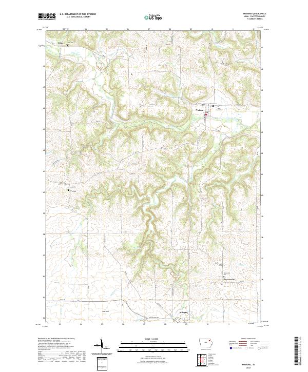
 1965 Wadena1966 Print · USGSFayette County's winding river valleys are captured here in the 1960s, showing the intersection of rail transport and rural settlement. Genealogists can trace the communities of Wadena, Lima, and Taylorsville, alongside landmarks like St Josephs Cem and Brush Creek Canyon State Park.
 - 1965 Map of Arlington, 1966 Print
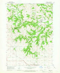
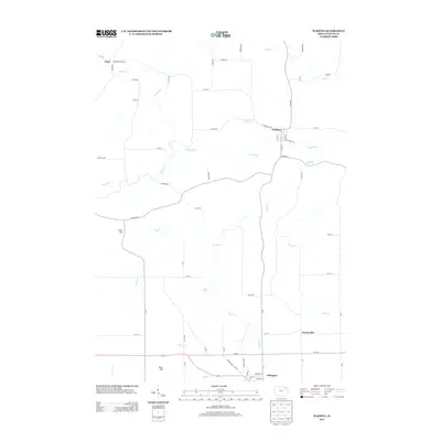
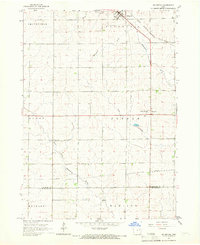 1965 Arlington1966 Print · USGSArlington and the rolling farm country of Fayette and Buchanan counties appear here in the mid-1960s as a landscape of river-fed townships and rail. Trace the old rail lines of the Milwaukee Road and find family sites at Union Ch Cem or Maryville.
 - 1976 Map of Dubuque
 1976 Dubuque1976 Print · USGSThe tri-state borderlands of Iowa, Wisconsin, and Illinois come alive during the mid-seventies, showing a region built on river commerce and mining. Genealogists and historians can trace the paths of the Illinois Central railroad or locate heritage sites like the New Melleray Abbey Monastery and Backbone State Park.
 - 1984 Map of Oelwein, 1985 Print
 1984 Oelwein1985 Print · USGSNortheast Iowa and the Mississippi riverfront appear in detail during the 1980s, showing a land defined by deep river valleys and high ridges. Genealogists and historians can trace the Chicago and North Western rail line and locate rural sites like St Sebald Ch and Quaker Mill Pond.2 unique versions available
 - 2010 Map of Wadena, 2010 Print
 2010 Wadena2010 Print · USGSCovers Arlington, including Wadena, Taylorsville, and other nearby areas
 - 2010 Map of Arlington, 2010 Print
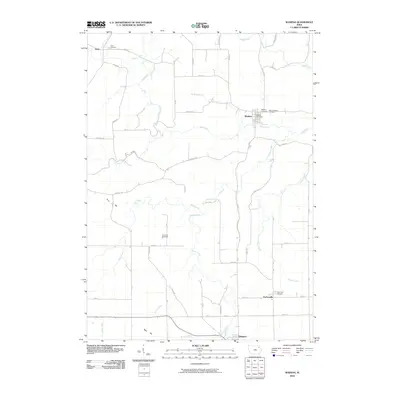
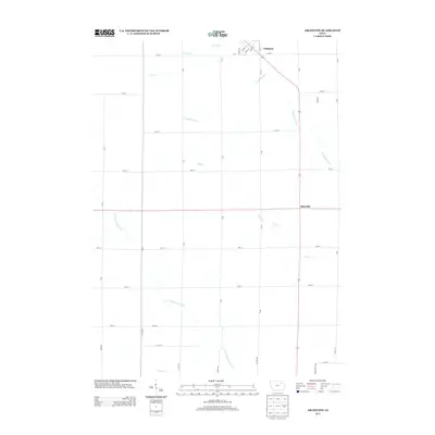
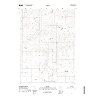
 2010 Arlington2010 Print · USGSCovers Arlington, including Maryville, Buchanan County, and other nearby areas
 - 2013 Map of Wadena, 2013 Print
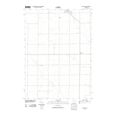
 2013 Wadena2013 Print · USGSCovers Arlington, including Wadena, Taylorsville, and other nearby areas
 - 2013 Map of Arlington, 2013 Print
 2013 Arlington2013 Print · USGSCovers Arlington, including Maryville, Buchanan County, and other nearby areas
 - 2015 Map of Arlington, 2015 Print
 2015 Arlington2015 Print · USGSCovers Arlington, including Maryville, Buchanan County, and other nearby areas
 - 2015 Map of Wadena, 2015 Print
 2015 Wadena2015 Print · USGSCovers Arlington, including Wadena, Taylorsville, and other nearby areas
 - 2018 Map of Wadena, 2018 Print
 2018 Wadena2018 Print · USGSCovers Arlington, including Wadena, Taylorsville, and other nearby areas
 - 2018 Map of Arlington, 2018 Print
 2018 Arlington2018 Print · USGSCovers Arlington, including Maryville, Buchanan County, and other nearby areas
 - 2022 Map of Arlington, 2022 Print
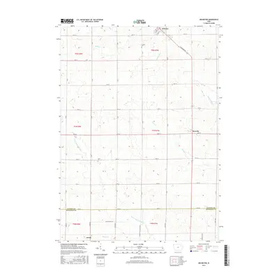
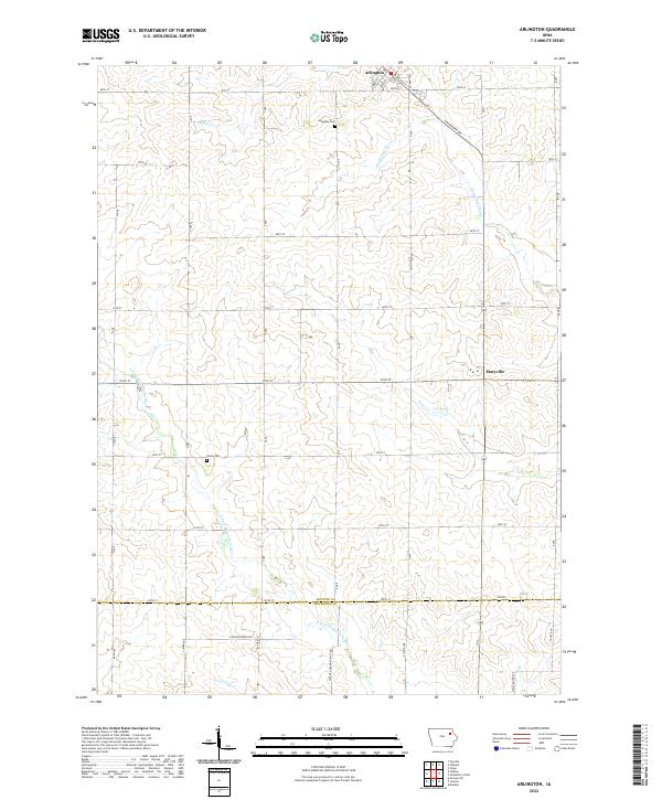 2022 Arlington2022 Print · USGSThe rolling prairie of northeastern Iowa is captured here in the early twenty-first century, centered on Arlington. Genealogists and local historians can locate Arlington Cem, Union Cem, and the small settlement of Maryville along the upper Maquoketa River.
 - 2022 Map of Wadena, 2022 Print
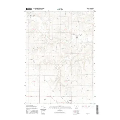
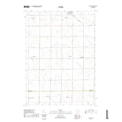
 2022 Wadena2022 Print · USGSFayette County's river valleys and prairie ridges are captured here in the twenty-first century, showing the enduring layouts of Wadena and Arlington. Genealogists can locate several remote burying grounds including Lima Cem and Taylorsville Cem.
End of results
Showing maps 1-18 of 18
Top cities near Arlington
- Oelwein historical maps
- West Union historical maps
- Fayette historical maps
- Strawberry Point historical maps
- Hazleton historical maps
- Elgin historical maps
See more
Frequently asked questions
- What are the different types of historical maps available for Arlington?
- What is the oldest map of Arlington?
- Where can I purchase historical maps of Arlington for my home or office?
- Where can I download high-res historical maps of Arlington?
- Are there historical topographic maps available for Arlington?
- Is there historical aerial imagery available for Arlington?
- Where are historical maps of Arlington sourced from?