Old Maps of Floyd, Iowa for Genealogy
Trace your family roots with 16 historic maps of Floyd. These high-res maps reveal old neighborhoods, homesites, landmarks, and streets — helping you uncover where your ancestors lived and how the area evolved over time.
- Explore historic neighborhoods: Identify where your relatives may have lived in the 1800s or 1900s.
- Compare maps over time: Trace the changes in streets, buildings, and landmarks for multi-generational research.
- Perfect for genealogy & ancestry research: Used by family historians and researchers to map out lineage and migration.
These maps are an incredible resource for exploring your personal connection to Floyd's past.
Floyd, IA maps
(16)- 1954 Map of Mason City, 1967 Print
 1954 Mason City1967 Print · USGSSouthern Minnesota and northern Iowa are shown here at the height of the mid-century rail era, centered on the regional hubs of Mason City and Rochester. Researchers can trace the vanished paths of the Chicago Great Western and find local landmarks like Pilot Knob and Bear Lake.2 unique versions available
 - 1957 Map of Mason City
 1957 Mason City1957 Print · USGSThe Minnesota-Iowa border region comes alive in this mid-century survey, from the industrial plants of Mason City to the medical hub of Rochester. Researchers can trace the rail-and-river economy through the Chicago Great Western Railway and the Shell Rock River.
 - 1958 Map of Mason City
 1958 Mason City1958 Print · USGSSouthern Minnesota and northern Iowa are shown during the mid-fifties when railroads still anchored the regional economy. Genealogists and historians can trace the intricate rail networks of the Illinois Central and find local landmarks in Mason City, Albert Lea, and Austin.
 - 1971 Map of Charles City, 1973 Print
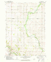
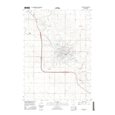
 1971 Charles City1973 Print · USGSCharles City and the surrounding Floyd County countryside are captured here in the early seventies, centered on the winding Cedar River. Genealogists and local historians can locate St Mary's Church, find family plots in Oakwood Cemetery, and trace the path of the Illinois Central railroad.
 - 1971 Map of Floyd, 1973 Print
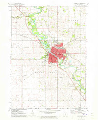
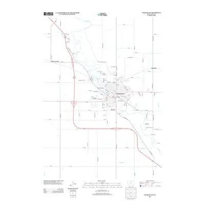
 1971 Floyd1973 Print · USGSThe Little Cedar River valley in the early seventies shows a transition between traditional Iowa farmsteads and modern infrastructure. You can trace the path of the Illinois Central and an Old Railroad Grade past Floyd and Howardville Cem.
 - 1985 Map of Charles City
 1985 Charles City1985 Print · USGSNorthern Iowa and the Minnesota borderlands are mapped here in the mid-1980s as a thriving network of rail-side towns and river valleys. Trace local history through the Reilly Settlement, Stacyville Junction, and aviation sites like Ellen Church Field.2 unique versions available
 - 2010 Map of Floyd, 2010 Print
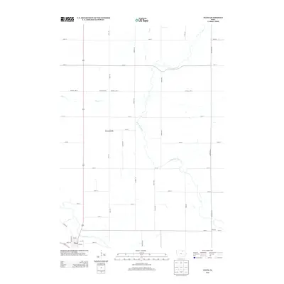
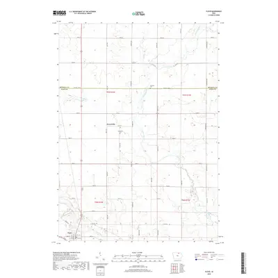
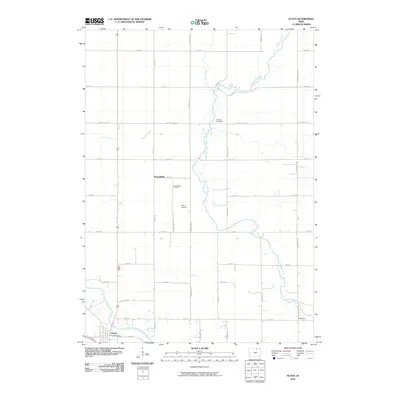 2010 Floyd2010 Print · USGSCovers Floyd, including Howardville, Floyd County, and other nearby areas
 - 2010 Map of Charles City, 2010 Print
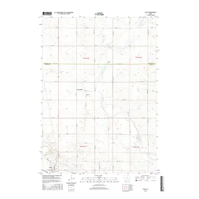
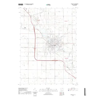
 2010 Charles City2010 Print · USGSCovers Floyd, including Charles City, Floyd Crossing, and other nearby areas
 - 2013 Map of Charles City, 2013 Print
 2013 Charles City2013 Print · USGSCovers Floyd, including Charles City, Floyd Crossing, and other nearby areas
 - 2013 Map of Floyd, 2013 Print
 2013 Floyd2013 Print · USGSCovers Floyd, including Howardville, Floyd County, and other nearby areas
 - 2015 Map of Charles City, 2015 Print
 2015 Charles City2015 Print · USGSCovers Floyd, including Charles City, Floyd Crossing, and other nearby areas
 - 2015 Map of Floyd, 2015 Print
 2015 Floyd2015 Print · USGSCovers Floyd, including Howardville, Floyd County, and other nearby areas
 - 2018 Map of Charles City, 2018 Print
 2018 Charles City2018 Print · USGSCovers Floyd, including Charles City, Floyd Crossing, and other nearby areas
 - 2018 Map of Floyd, 2018 Print
 2018 Floyd2018 Print · USGSCovers Floyd, including Howardville, Floyd County, and other nearby areas
 - 2022 Map of Charles City, 2022 Print
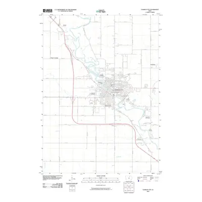
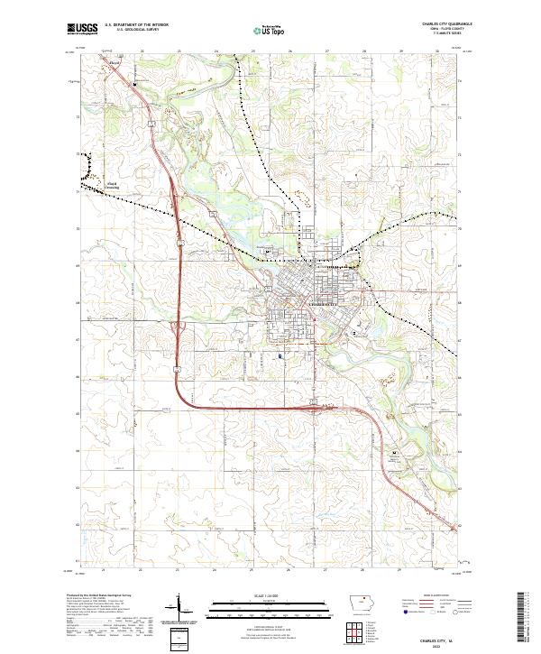 2022 Charles City2022 Print · USGSCharles City and the surrounding Floyd County prairie are captured here in the early twenty-first century as the Cedar River carves through the landscape. Researchers can trace local history from the Floyd County Courthouse to outlying landmarks like Oakwood Cem and the small community of Floyd Crossing.
 - 2022 Map of Floyd, 2022 Print
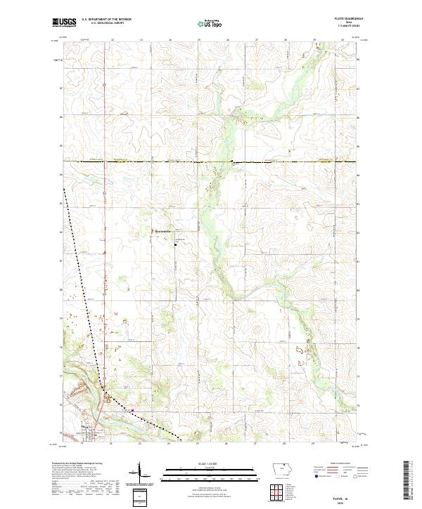 2022 Floyd2022 Print · USGSNorthern Iowa farmland meets the winding corridors of the Little Cedar River and Cedar River in this detailed modern survey. Genealogists can locate family plots at Howardville Cem and Stillwater Cem or trace the early street plans of Floyd.
End of results
Showing maps 1-16 of 16
Top cities near Floyd
- Charles City historical maps
- Osage historical maps
- Nashua historical maps
- Greene historical maps
- Rockford historical maps
- Rudd historical maps
See more
Frequently asked questions
- What are the different types of historical maps available for Floyd?
- What is the oldest map of Floyd?
- Where can I purchase historical maps of Floyd for my home or office?
- Where can I download high-res historical maps of Floyd?
- Are there historical topographic maps available for Floyd?
- Is there historical aerial imagery available for Floyd?
- Where are historical maps of Floyd sourced from?