Old Maps of Marble Rock, Iowa for Academic Research
Study the evolution of Marble Rock with 15 high-resolution historic maps. Whether you're teaching, researching, or modeling changes in land use, these maps provide essential visual documentation of urban, environmental, and geographic change.
- Analyze long-term change: Track patterns in development, transportation, and natural features.
- Ideal for environmental or urban studies: Support academic projects with primary historical map data.
- Use in the classroom or lab: Educators and researchers rely on these maps to bring historical context to life.
These maps are a powerful tool for teaching, research, and visualizing how Marble Rock has changed over the decades.
Marble Rock, IA maps
(15)- 1954 Map of Waterloo, 1968 Print
 1954 Waterloo1968 Print · USGSCentral Iowa at the height of its mid-century agricultural and rail boom features the growing hubs of Waterloo and Cedar Falls. Genealogists and researchers can trace the rail corridors of the Chicago Great Western and find local landmarks like Iowa State College and Brushy Ridge.4 unique versions available
 - 1955 Map of Waterloo
 1955 Waterloo1955 Print · USGSCentral Iowa in the mid-fifties presents a dense landscape of rail-connected farming towns and growing river cities. Researchers can trace ancestral roots and old transport routes through Waterloo, Marshalltown, and Ames, while locating rural Cemeteries and local Quarries.2 unique versions available
 - 1972 Map of Aureola, 1975 Print
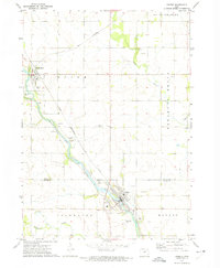
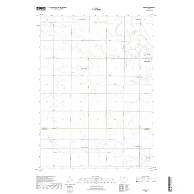
 1972 Aureola1975 Print · USGSNortheast Iowa’s river valleys and rail lines define this 1970s landscape near the Floyd and Butler county line. Local historians can trace the Chicago Rock Island and Pacific line and find rural landmarks like Camp Winnebago and Aureola.
 - 1972 Map of Greene, 1975 Print
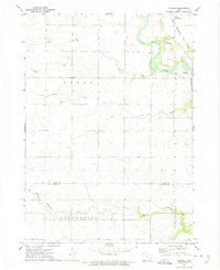
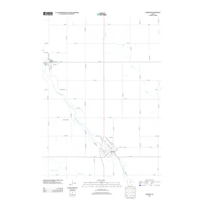
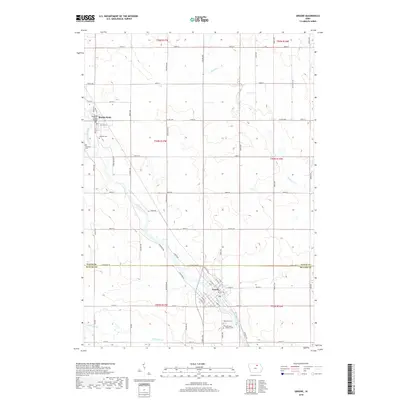
 1972 Greene1975 Print · USGSThe Shell Rock River valley in the early 1970s shows a landscape of steady rail commerce and established riverside towns. Researchers can locate local landmarks like Hillside Cem, trace the Chicago Rock Island and Pacific line, and see the layout of Marble Rock.
 - 1984 Map of Waverly, 1985 Print
 1984 Waverly1985 Print · USGSNortheast Iowa in the mid-eighties shows a robust network of river towns and rail corridors connecting agricultural centers. Researchers can trace family sites near Garden of Memories Cem or follow the Chicago and North Western line through Janesville and Waverly.2 unique versions available
 - 2010 Map of Aureola, 2010 Print
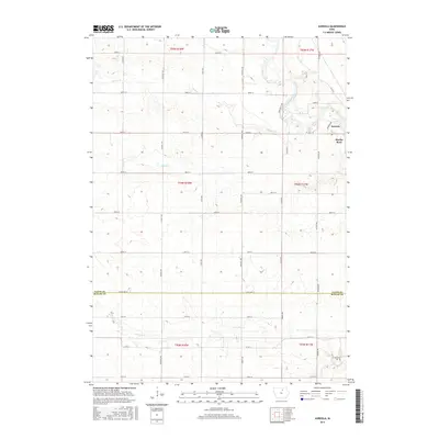
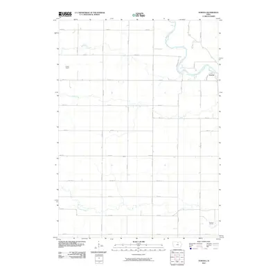 2010 Aureola2010 Print · USGSCovers Marble Rock, including Aureola, Floyd County, and other nearby areas
 - 2010 Map of Greene, 2010 Print
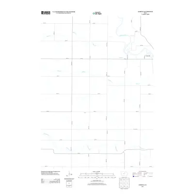
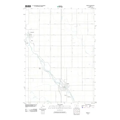 2010 Greene2010 Print · USGSCovers Marble Rock, including Greene, Floyd County, and other nearby areas
 - 2013 Map of Greene, 2013 Print
 2013 Greene2013 Print · USGSCovers Marble Rock, including Greene, Floyd County, and other nearby areas
 - 2013 Map of Aureola, 2013 Print
 2013 Aureola2013 Print · USGSCovers Marble Rock, including Aureola, Floyd County, and other nearby areas
 - 2015 Map of Aureola, 2015 Print
 2015 Aureola2015 Print · USGSCovers Marble Rock, including Aureola, Floyd County, and other nearby areas
 - 2015 Map of Greene, 2015 Print
 2015 Greene2015 Print · USGSCovers Marble Rock, including Greene, Floyd County, and other nearby areas
 - 2018 Map of Greene, 2018 Print
 2018 Greene2018 Print · USGSCovers Marble Rock, including Greene, Floyd County, and other nearby areas
 - 2018 Map of Aureola, 2018 Print
 2018 Aureola2018 Print · USGSCovers Marble Rock, including Aureola, Floyd County, and other nearby areas
 - 2022 Map of Greene, 2022 Print
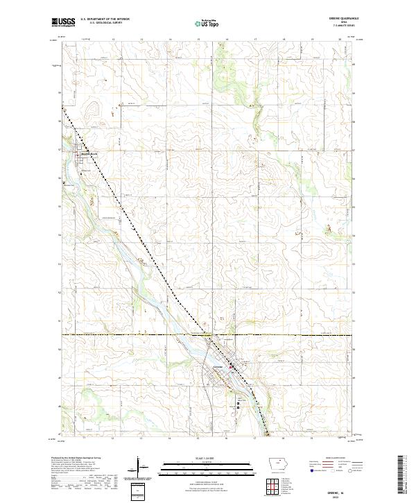 2022 Greene2022 Print · USGSThe river valley along the Shell Rock River in northern Iowa is shown here as it appeared in the early 2020s. Genealogists and local historians can trace burial sites like Rose Hill Cem and Hillside Cem or follow the winding path of Flood Cr.
 - 2022 Map of Aureola, 2022 Print
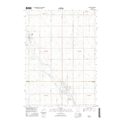
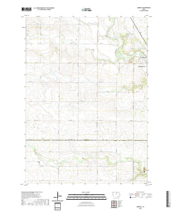 2022 Aureola2022 Print · USGSThe rural landscape of Floyd County and the Butler County border is captured here in the early twenty-first century. Researchers can trace the banks of the Shell Rock River near Marble Rock or locate local burial sites like Haselroad Cem.
End of results
Showing maps 1-15 of 15
Top cities near Marble Rock
- Charles City historical maps
- Nora Springs historical maps
- Clarksville historical maps
- Greene historical maps
- Allison historical maps
- Rockford historical maps
See more
Frequently asked questions
- What are the different types of historical maps available for Marble Rock?
- What is the oldest map of Marble Rock?
- Where can I purchase historical maps of Marble Rock for my home or office?
- Where can I download high-res historical maps of Marble Rock?
- Are there historical topographic maps available for Marble Rock?
- Is there historical aerial imagery available for Marble Rock?
- Where are historical maps of Marble Rock sourced from?