Old Maps of Faulkner, Iowa for Hiking & Exploration
Hike through history with 9 historic maps of Faulkner. Explore old trails, ghost towns, and forgotten backroads — perfect for outdoor adventurers and local explorers.
- Rediscover forgotten places: Map out old mining camps, roads, and footpaths that no longer exist on modern maps.
- Layer with modern tools: Combine with LiDAR or satellite views to plan hikes through historical terrain.
- Made for exploration: Popular among hikers, overlanders, and local history lovers.
Use these maps to find adventure and explore the hidden past of Faulkner.
Faulkner, IA maps
(9)- 1954 Map of Waterloo, 1968 Print
 1954 Waterloo1968 Print · USGSCentral Iowa at the height of its mid-century agricultural and rail boom features the growing hubs of Waterloo and Cedar Falls. Genealogists and researchers can trace the rail corridors of the Chicago Great Western and find local landmarks like Iowa State College and Brushy Ridge.4 unique versions available
 - 1955 Map of Waterloo
 1955 Waterloo1955 Print · USGSCentral Iowa in the mid-fifties presents a dense landscape of rail-connected farming towns and growing river cities. Researchers can trace ancestral roots and old transport routes through Waterloo, Marshalltown, and Ames, while locating rural Cemeteries and local Quarries.2 unique versions available
 - 1979 Map of Ackley, 1980 Print
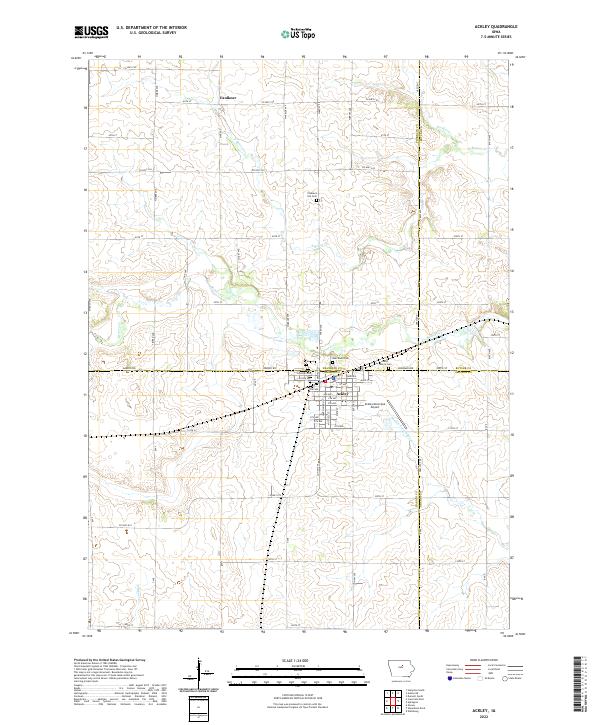
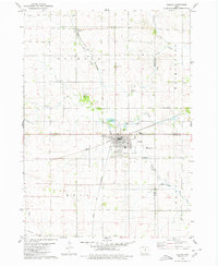 1979 Ackley1980 Print · USGSThe rural borders of four Iowa counties converge here in the late seventies, centered on a busy regional rail hub. Genealogists and local historians can locate family sites at Blakes Grove (Chapel), Oak Wood Cem, and the small settlement of Faulkner.
 - 1984 Map of Iowa Falls, 1985 Print
 1984 Iowa Falls1985 Print · USGSNorth-central Iowa is documented here during the mid-eighties, showing a landscape of traditional rail towns and extensive wildlife management areas. Researchers can trace family history through settlements like Belmond, Dows, and Ackley, or locate landmarks like Beeds Lake State Park.2 unique versions available
 - 2010 Map of Ackley, 2010 Print
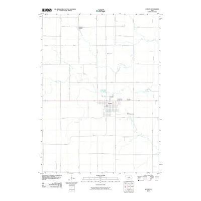 2010 Ackley2010 Print · USGSCovers Faulkner, including Ackley, Hardin County, and other nearby areas
 - 2013 Map of Ackley, 2013 Print
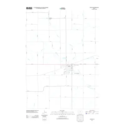 2013 Ackley2013 Print · USGSCovers Faulkner, including Ackley, Hardin County, and other nearby areas
 - 2015 Map of Ackley, 2015 Print
 2015 Ackley2015 Print · USGSCovers Faulkner, including Ackley, Hardin County, and other nearby areas
 - 2018 Map of Ackley, 2018 Print
 2018 Ackley2018 Print · USGSCovers Faulkner, including Ackley, Hardin County, and other nearby areas
 - 2022 Map of Ackley, 2022 Print
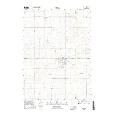
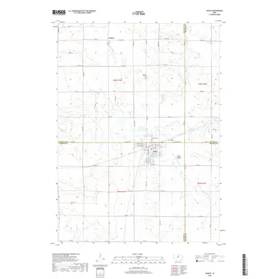
 2022 Ackley2022 Print · USGSThe crossroads of four Iowa counties come together at the town of Ackley in this modern-era topographic study. Genealogists can trace family landmarks and burial sites like Oak Wood Cem and Pleasant Hill Cem along the banks of Beaver Cr.
End of results
Showing maps 1-9 of 9
Top cities near Faulkner
- Iowa Falls historical maps
- Hampton historical maps
- Ackley historical maps
- Aplington historical maps
- Wellsburg historical maps
- Dumont historical maps
See more
Frequently asked questions
- What are the different types of historical maps available for Faulkner?
- What is the oldest map of Faulkner?
- Where can I purchase historical maps of Faulkner for my home or office?
- Where can I download high-res historical maps of Faulkner?
- Are there historical topographic maps available for Faulkner?
- Is there historical aerial imagery available for Faulkner?
- Where are historical maps of Faulkner sourced from?