Old Maps of Eureka, Iowa
Explore 13 old maps of Eureka, spanning from 1935 to today. These high-resolution historic maps reveal how streets, neighborhoods, landmarks, and natural features evolved over time — perfect for genealogy, metal detecting, research, and local history exploration.
What you can do with these maps:
- See how Eureka changed over time: Compare historical maps to modern-day views to trace roads, homesites, rail lines & more.
- View detailed metadata: Each map includes creators, publishers, year, scale, and archive source.
- Overlay maps with satellite & LiDAR: Visualize the past alongside modern tools to explore terrain & human change.
- Trusted historical sources: Maps sourced from the USGS, Library of Congress, and other archives.
- Access maps your way: View online, download high-res files, or order prints for personal or research use.
Start exploring old maps of Eureka to uncover forgotten places, hidden landmarks, and the deep history beneath your feet.
Eureka, IA maps
(13)- 1935 Map of Nehawka
 1935 Nehawka1935 Print · USGSThe Missouri River valley along the Nebraska-Iowa border appears here during the mid-1930s, showing a landscape defined by riverside bluffs and fertile bottomlands. Genealogists can trace family roots through numerous local landmarks, from Sargents Spur and Nehawka to rural schools like Ameck Sch and Eight Mile Grove Sch.2 unique versions available
 - 1940 Map of Nehawka
 1940 Nehawka1940 Print · USGSThe Missouri River valley comes to life in this pre-war survey of Cass County and the Iowa border. Genealogists can locate family names at Youngs Cem or trace dozens of rural school sites like Cottonwood Sch and Eightmile Grove Sch.3 unique versions available
 - 1955 Map of Nebraska City, 1967 Print
 1955 Nebraska City1967 Print · USGSThe four-state region surrounding the Missouri River valley appears here in the mid-1950s, a landscape of rail-dependent market towns and rural school districts. Genealogists can locate family landmarks like the Rock Bluff School, St Oswald Church, and the Clarinda State Hospital.3 unique versions available
 - 1957 Map of Nebraska City
 1957 Nebraska City1957 Print · USGSThe four-state junction of Nebraska, Iowa, Missouri, and Kansas comes alive in this mid-fifties survey of the Missouri River valley. Genealogists and historians can trace the rail-and-road networks connecting Nebraska City, Maryville, and the Squaw Creek National Wildlife Refuge.
 - 1958 Map of Nebraska City
 1958 Nebraska City1958 Print · USGSThe Missouri River Valley and its fertile four-state borderlands are captured here during the mid-century expansion of the regional highway and rail networks. Genealogists can trace family roots through numerous rural landmarks like Moulton School, Shady Grove Church, and the Clarinda State Hospital.
 - 1966 Map of Mc Paul, 1968 Print
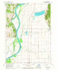 1966 Mc Paul1968 Print · USGSMissouri River bottomlands along the Iowa-Nebraska border were dominated by complex drainage works and rail corridors during the late sixties. Researchers can trace family sites at Kenosha Cem, locate the Ervine Sch, or follow the Chicago Burlington and Quincy tracks through McPaul.3 unique versions available
 - 1985 Map of Nebraska City
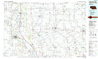 1985 Nebraska City1985 Print · USGSThe Missouri River borderlands of Nebraska, Iowa, and Missouri come into focus in the mid-1980s, showcasing a landscape of river navigation and rail-fed agriculture. Researchers can trace the heritage of Nebraska City, follow the Burlington Northern tracks, or explore river landmarks like Jones Point and McKissick Island.
 - 1993 Map of Nebraska City
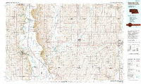 1993 Nebraska City1993 Print · USGSThe Missouri River valley and the rolling farmland of southwest Iowa are captured here in the early nineties, showing a landscape defined by water and rail. Researchers can trace the Burlington Northern lines or explore local landmarks like Arbor Lodge State Park and College Springs.
 - 2010 Map of McPaul, 2010 Print
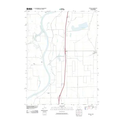 2010 McPaul2010 Print · USGSThe Missouri River bottomlands in the early twenty-first century reveal a landscape shaped by both nature and drainage engineering. Researchers can locate family-named landmarks like Kenosha Cemetery and Eatons Cemetery near the riverfront at Jones Point.
 - 2013 Map of McPaul, 2013 Print
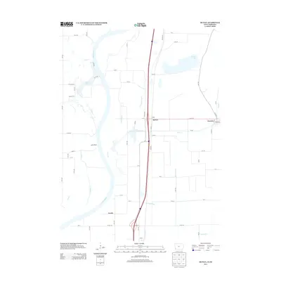 2013 McPaul2013 Print · USGSFremont County, Iowa, and the Nebraska borderlands are shown here in the early twenty-first century as the Missouri River floodplain meets the eastern bluffs. Trace the layout of Thurman, the settlement at McPaul, and local water features like Forneys Lake.
 - 2015 Map of McPaul, 2015 Print
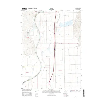 2015 McPaul2015 Print · USGSThe Missouri River floodplain in southwest Iowa is captured here during a period of modern agricultural and lakeside development. Genealogists and historians can trace family roots at Kenosha Cem or Eatons Cem, and locate the settlements of Thurman, McPaul, and Percival.
 - 2018 Map of McPaul, 2018 Print
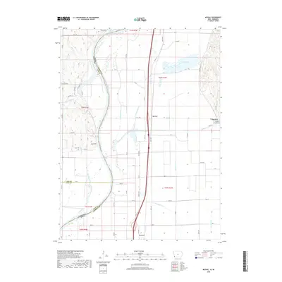 2018 McPaul2018 Print · USGSThe Missouri River floodplain in Fremont County comes alive in this survey, showing the complex drainage systems and river-border settlements. Genealogists can locate family sites at Kenosha Cem and Eaton Cem or trace the early foundations of Thurman.
 - 2022 Map of McPaul, 2022 Print
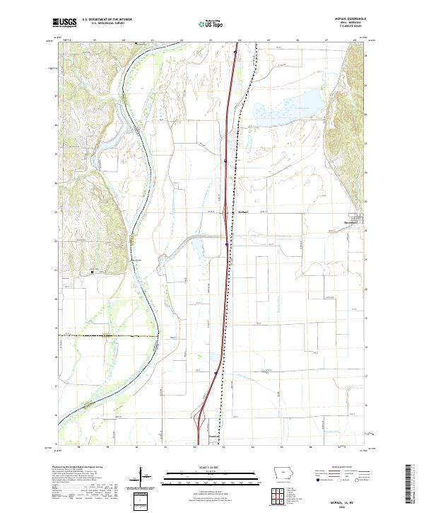 2022 McPaul2022 Print · USGSThe borderlands of Fremont County and the Nebraska state line are revealed here in the early twenty-first century. Genealogists and local historians can trace family roots at Kenosha Cem or explore the drainage systems around McPaul and Forneys Lake.
End of results
Showing maps 1-13 of 13
Top cities near Eureka
- Nebraska City historical maps
- Plattsmouth historical maps
- Sidney historical maps
- Tabor historical maps
- Hamburg historical maps
- Murray historical maps
See more
Frequently asked questions
- What are the different types of historical maps available for Eureka?
- What is the oldest map of Eureka?
- Where can I purchase historical maps of Eureka for my home or office?
- Where can I download high-res historical maps of Eureka?
- Are there historical topographic maps available for Eureka?
- Is there historical aerial imagery available for Eureka?
- Where are historical maps of Eureka sourced from?