Old Maps of Imogene, Iowa for Hiking & Exploration
Hike through history with 17 historic maps of Imogene. Explore old trails, ghost towns, and forgotten backroads — perfect for outdoor adventurers and local explorers.
- Rediscover forgotten places: Map out old mining camps, roads, and footpaths that no longer exist on modern maps.
- Layer with modern tools: Combine with LiDAR or satellite views to plan hikes through historical terrain.
- Made for exploration: Popular among hikers, overlanders, and local history lovers.
Use these maps to find adventure and explore the hidden past of Imogene.
Imogene, IA maps
(17)- 1955 Map of Nebraska City, 1967 Print
 1955 Nebraska City1967 Print · USGSThe four-state region surrounding the Missouri River valley appears here in the mid-1950s, a landscape of rail-dependent market towns and rural school districts. Genealogists can locate family landmarks like the Rock Bluff School, St Oswald Church, and the Clarinda State Hospital.3 unique versions available
 - 1957 Map of Nebraska City
 1957 Nebraska City1957 Print · USGSThe four-state junction of Nebraska, Iowa, Missouri, and Kansas comes alive in this mid-fifties survey of the Missouri River valley. Genealogists and historians can trace the rail-and-road networks connecting Nebraska City, Maryville, and the Squaw Creek National Wildlife Refuge.
 - 1958 Map of Nebraska City
 1958 Nebraska City1958 Print · USGSThe Missouri River Valley and its fertile four-state borderlands are captured here during the mid-century expansion of the regional highway and rail networks. Genealogists can trace family roots through numerous rural landmarks like Moulton School, Shady Grove Church, and the Clarinda State Hospital.
 - 1978 Map of Shenandoah West
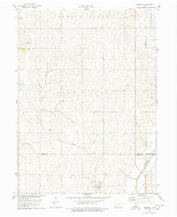
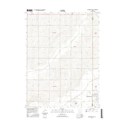
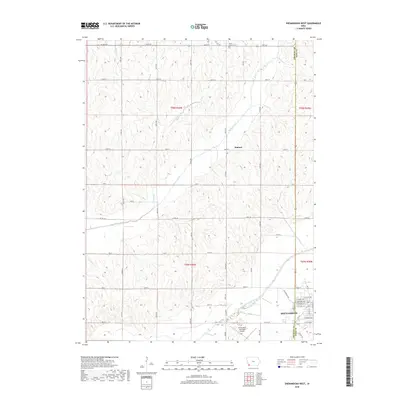
 1978 Shenandoah West1978 Print · USGSShenandoah and the surrounding Iowa farmland are captured during the late seventies as the city expanded westward toward the river. Genealogists and local historians can locate the Mt Calvary Cem, Lowell Ave Sch, and the vintage Drive-in Theater.
 - 1978 Map of Imogene
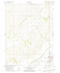
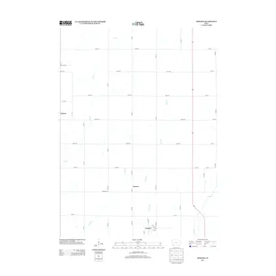
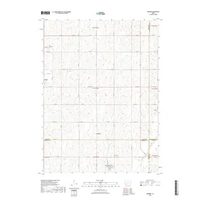
 1978 Imogene1978 Print · USGSThe rural landscape of Fremont County is captured here in the late seventies, showing the rail-dependent settlement of Imogene and the surrounding farm country. Genealogists can trace family landmarks like Champion Hill Ch, the South Grove Cem, and the path of the Norfolk and Western railroad.
 - 1985 Map of Nebraska City
 1985 Nebraska City1985 Print · USGSThe Missouri River borderlands of Nebraska, Iowa, and Missouri come into focus in the mid-1980s, showcasing a landscape of river navigation and rail-fed agriculture. Researchers can trace the heritage of Nebraska City, follow the Burlington Northern tracks, or explore river landmarks like Jones Point and McKissick Island.
 - 1993 Map of Nebraska City
 1993 Nebraska City1993 Print · USGSThe Missouri River valley and the rolling farmland of southwest Iowa are captured here in the early nineties, showing a landscape defined by water and rail. Researchers can trace the Burlington Northern lines or explore local landmarks like Arbor Lodge State Park and College Springs.
 - 2010 Map of Shenandoah West, 2010 Print
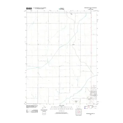 2010 Shenandoah West2010 Print · USGSCovers Imogene, including Shenandoah, Summit, and other nearby areas
 - 2010 Map of Imogene, 2010 Print
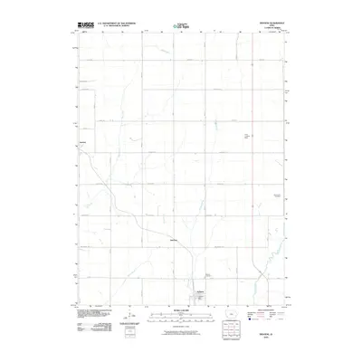 2010 Imogene2010 Print · USGSCovers Imogene, including Strahan, Solomon, and other nearby areas
 - 2013 Map of Imogene, 2013 Print
 2013 Imogene2013 Print · USGSCovers Imogene, including Strahan, Solomon, and other nearby areas
 - 2013 Map of Shenandoah West, 2013 Print
 2013 Shenandoah West2013 Print · USGSCovers Imogene, including Shenandoah, Summit, and other nearby areas
 - 2015 Map of Imogene, 2015 Print
 2015 Imogene2015 Print · USGSCovers Imogene, including Strahan, Solomon, and other nearby areas
 - 2015 Map of Shenandoah West, 2015 Print
 2015 Shenandoah West2015 Print · USGSCovers Imogene, including Shenandoah, Summit, and other nearby areas
 - 2018 Map of Imogene, 2018 Print
 2018 Imogene2018 Print · USGSCovers Imogene, including Strahan, Solomon, and other nearby areas
 - 2018 Map of Shenandoah West, 2018 Print
 2018 Shenandoah West2018 Print · USGSCovers Imogene, including Shenandoah, Summit, and other nearby areas
 - 2022 Map of Shenandoah West, 2022 Print
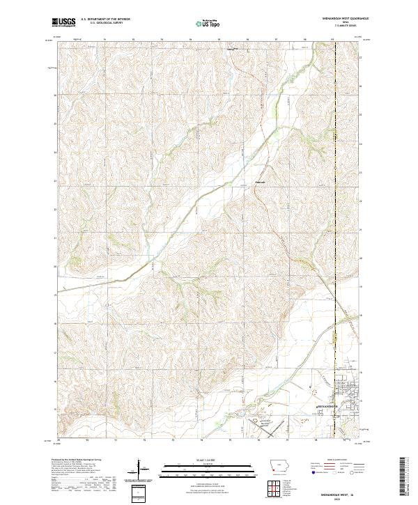 2022 Shenandoah West2022 Print · USGSFremont County agricultural lands and the river valley are captured here in the early 2020s. Researchers can trace the path of the Wabash Trace Nature Trl from Imogene past Summit, or explore the city streets of Shenandoah.
 - 2022 Map of Imogene, 2022 Print
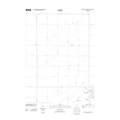
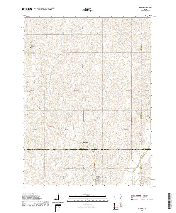 2022 Imogene2022 Print · USGSImogene and the surrounding Fremont County prairie are shown here in the 2020s, highlighting the enduring rural landscape of southwest Iowa. Researchers can trace the diagonal path of the Wabash Trace Nature Trail through Solomon or locate family plots at South Grove Cemetery and Walnut Cemetery.
End of results
Showing maps 1-17 of 17
Top cities near Imogene
- Red Oak historical maps
- Shenandoah historical maps
- Sidney historical maps
- Malvern historical maps
- Essex historical maps
- Farragut historical maps
See more
Frequently asked questions
- What are the different types of historical maps available for Imogene?
- What is the oldest map of Imogene?
- Where can I purchase historical maps of Imogene for my home or office?
- Where can I download high-res historical maps of Imogene?
- Are there historical topographic maps available for Imogene?
- Is there historical aerial imagery available for Imogene?
- Where are historical maps of Imogene sourced from?