2000s (21st Century) Maps of Seely Township, Iowa
Explore 20 historic maps of Seely Township from the 2000s (21st Century). These maps offer a rare glimpse into what life looked like during the 2000s — showing old roads, neighborhoods, homes, and landmarks that have changed or disappeared over time.
Whether you're researching your family's past, planning a metal detecting trip, or studying how Seely Township's landscape evolved across the 2000s, these high-resolution maps are a powerful tool for exploring the history of this region.
- Focus on a specific era: All maps on this page are from the 2000s, giving you a focused view of this time period.
- See what’s changed: Compare century-old streets, trails, and buildings to today's modern landscape using overlays and satellite layers.
- Research with precision: Use these maps for genealogy, historical research, land use analysis, or educational projects.
- View, download, or print: Maps are fully viewable online in high resolution, and can be downloaded or printed for your own records.
Start exploring Seely Township's history through authentic maps from the 2000s. This is your window into the past.
Seely Township, IA maps
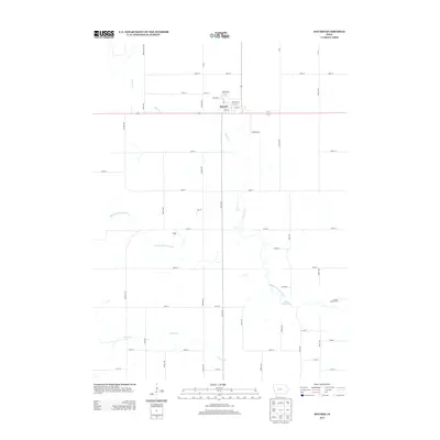
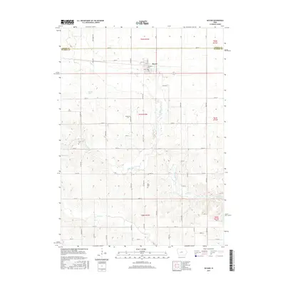
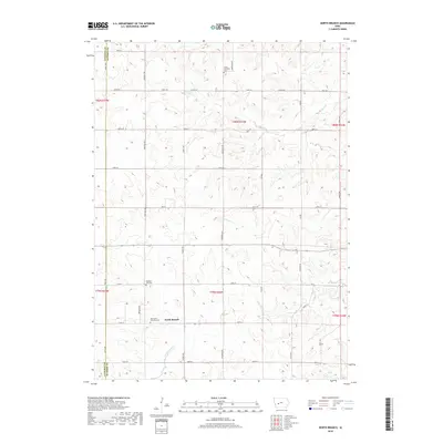
(20)- 2010 Map of Bayard, 2010 Print
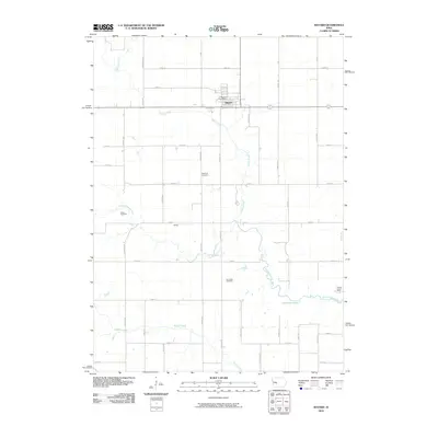 2010 Bayard2010 Print · USGSCovers Seely Township, including Bayard, Highland Township, and other nearby areas
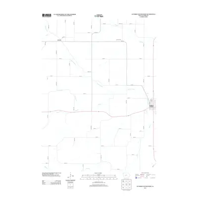
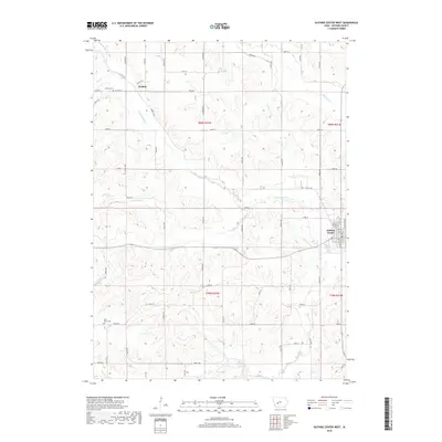
 - 2010 Map of Guthrie Center West, 2010 Print
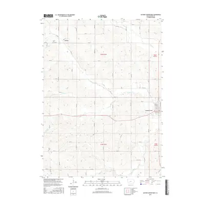
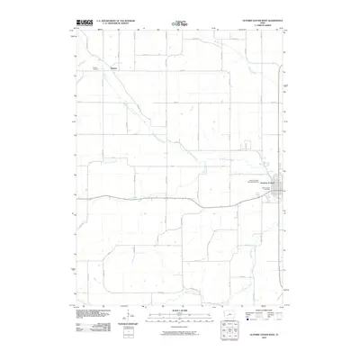 2010 Guthrie Center West2010 Print · USGSCovers Seely Township, including Guthrie Center, Valley Township, and other nearby areas
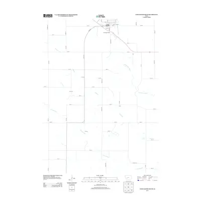
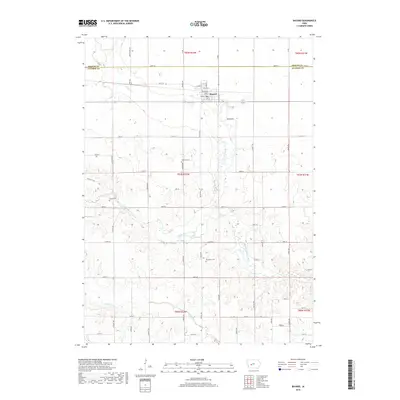
 - 2010 Map of North Branch, 2010 Print
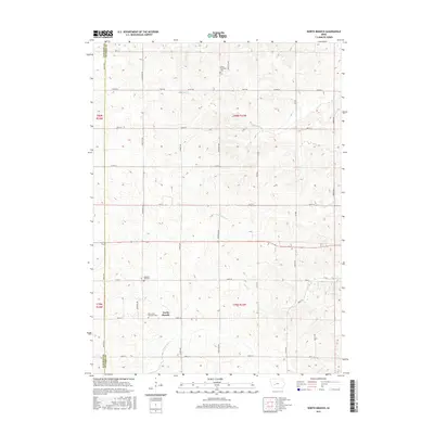
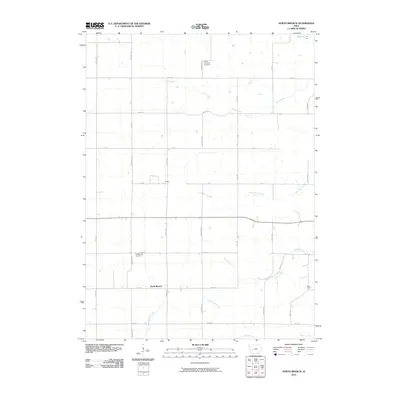 2010 North Branch2010 Print · USGSCovers Seely Township, including Union Township, Baker Township, and other nearby areas
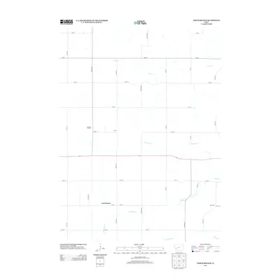
 - 2010 Map of Coon Rapids South, 2010 Print
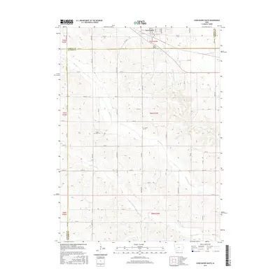
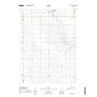
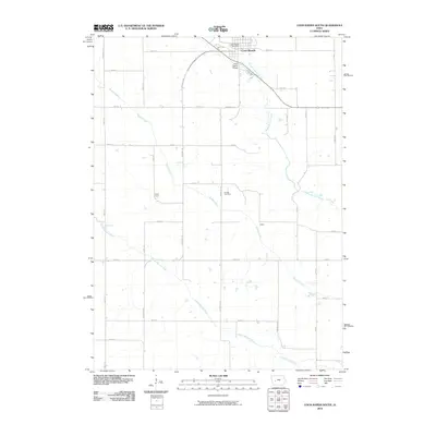 2010 Coon Rapids South2010 Print · USGSCovers Seely Township, including Coon Rapids, Highland Township, and other nearby areas
 - 2013 Map of Bayard, 2013 Print
 2013 Bayard2013 Print · USGSCovers Seely Township, including Bayard, Highland Township, and other nearby areas
 - 2013 Map of Guthrie Center West, 2013 Print
 2013 Guthrie Center West2013 Print · USGSCovers Seely Township, including Guthrie Center, Valley Township, and other nearby areas
 - 2013 Map of Coon Rapids South, 2013 Print
 2013 Coon Rapids South2013 Print · USGSCovers Seely Township, including Coon Rapids, Highland Township, and other nearby areas
 - 2013 Map of North Branch, 2013 Print
 2013 North Branch2013 Print · USGSCovers Seely Township, including Union Township, Baker Township, and other nearby areas
 - 2015 Map of North Branch, 2015 Print
 2015 North Branch2015 Print · USGSCovers Seely Township, including Union Township, Baker Township, and other nearby areas
 - 2015 Map of Bayard, 2015 Print
 2015 Bayard2015 Print · USGSCovers Seely Township, including Bayard, Highland Township, and other nearby areas
 - 2015 Map of Guthrie Center West, 2015 Print
 2015 Guthrie Center West2015 Print · USGSCovers Seely Township, including Guthrie Center, Valley Township, and other nearby areas
 - 2015 Map of Coon Rapids South, 2015 Print
 2015 Coon Rapids South2015 Print · USGSCovers Seely Township, including Coon Rapids, Highland Township, and other nearby areas
 - 2018 Map of North Branch, 2018 Print
 2018 North Branch2018 Print · USGSCovers Seely Township, including Union Township, Baker Township, and other nearby areas
 - 2018 Map of Bayard, 2018 Print
 2018 Bayard2018 Print · USGSCovers Seely Township, including Bayard, Highland Township, and other nearby areas
 - 2018 Map of Coon Rapids South, 2018 Print
 2018 Coon Rapids South2018 Print · USGSCovers Seely Township, including Coon Rapids, Highland Township, and other nearby areas
 - 2018 Map of Guthrie Center West, 2018 Print
 2018 Guthrie Center West2018 Print · USGSCovers Seely Township, including Guthrie Center, Valley Township, and other nearby areas
 - 2022 Map of Bayard, 2022 Print
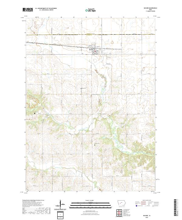 2022 Bayard2022 Print · USGSBayard and the surrounding Guthrie County farmlands are documented here during the early twenty-first century. Genealogists and local historians can trace property boundaries near the Middle Raccoon River and locate secluded burial sites like Highland Cem and Van Ocker Cem.
 - 2022 Map of North Branch, 2022 Print
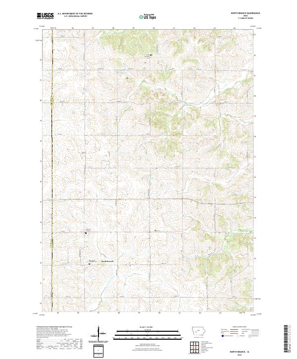 2022 North Branch2022 Print · USGSThe rural borderlands of Guthrie and Audubon counties are captured here in the early twenty-first century, showcasing a landscape of section roads and small creeks. Genealogists can locate several historic burial sites, including Union Township Cem, Pleasant Hill Cem, and Bear Grove Township Cem.
 - 2022 Map of Coon Rapids South, 2022 Print
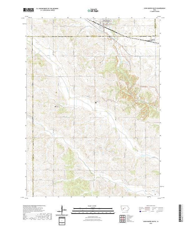 2022 Coon Rapids South2022 Print · USGSWest-central Iowa at the dawn of the 2020s shows a landscape of deep-rooted agriculture alongside a growing network of river trails. Genealogists and local historians can locate early burial sites like Tuttles Grove Cem or trace the paths of the Middle Raccoon River and S Raccoon River.
 - 2022 Map of Guthrie Center West, 2022 Print
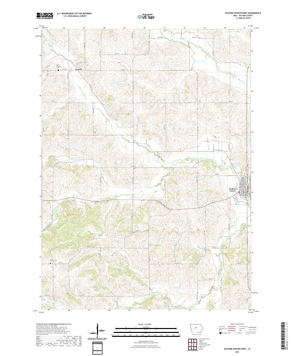 2022 Guthrie Center West2022 Print · USGSGuthrie County agriculture and rural life take center stage in this recent topographical study of the Iowa heartland. Local historians can trace family roots at Bear Grove Cemetery or locate the quiet crossroads of Wichita near the banks of the South Raccoon River.
End of results
Showing maps 1-20 of 20
Top cities near Seely Township
- Guthrie Center historical maps
- Coon Rapids historical maps
- Panora historical maps
- Adair historical maps
- Bayard historical maps
- Casey historical maps
See more
Top neighborhoods of Seely Township
Frequently asked questions
- What are the different types of historical maps available for Seely Township?
- What is the oldest map of Seely Township?
- Where can I purchase historical maps of Seely Township for my home or office?
- Where can I download high-res historical maps of Seely Township?
- Are there historical topographic maps available for Seely Township?
- Is there historical aerial imagery available for Seely Township?
- Where are historical maps of Seely Township sourced from?