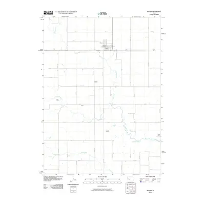
2010 Map of Bayard
USGS Topo · Published 2010About this map
Bayard serves as the primary hub in this corner of Guthrie County, defined by a strictly surveyed grid of agricultural roads and the meandering path of the Middle Raccoon River. The town contains the Bayard Post Office, while the surrounding landscape is marked by small rural nodes like Dodge and several family or community burial grounds, including Highland Cemetery, Sutton Cemetery, and Van Ocker Cemetery. These sites provide critical points of interest for genealogists tracing early families in Highland Township.
Find a feature on this map
39 named features on this map. Tap any name to fly to it.
Don’t see what you’re looking for? This feature index may not catch every label — zoom into the map to look around manually.
Map Details
Editions of this 2010 Bayard Map
This is the sole edition of this map. No revisions or reprints were ever made.
Other maps of this area

1952 · Panora
USGS Topo · 1:62,500

1954 · Bagley
USGS Topo · 1:62,500

1954 · Omaha
USGS Topo · 1:250,000

1957 · Omaha
USGS Topo · 1:250,000

1958 · Omaha
USGS Topo · 1:250,000

1971 · Coon Rapids South
USGS Topo · 1:24,000

1971 · Coon Rapids NE
USGS Topo · 1:24,000

1971 · Coon Rapids North
USGS Topo · 1:24,000

1971 · Bayard
USGS Topo · 1:24,000

1971 · North Branch
USGS Topo · 1:24,000