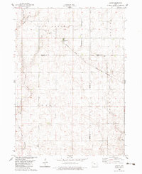
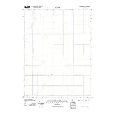
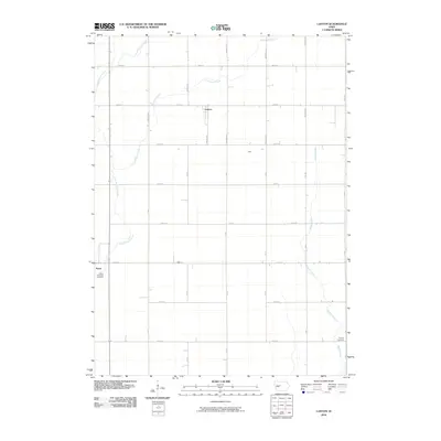
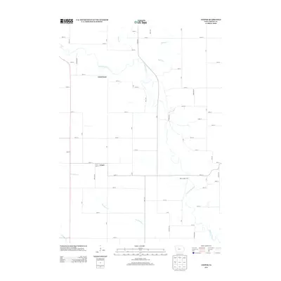
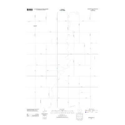
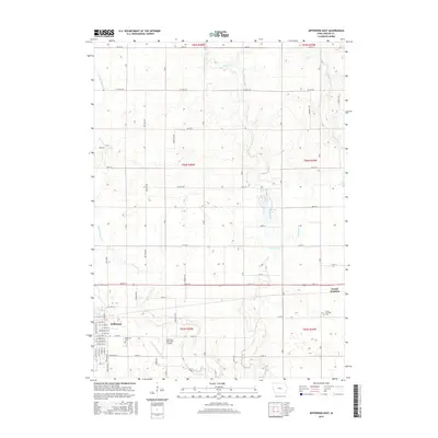
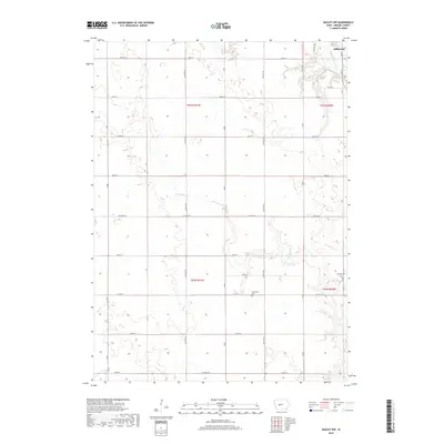
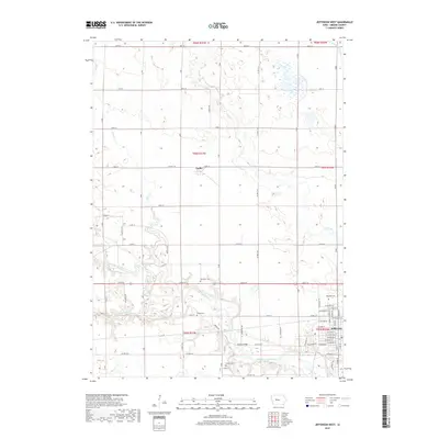
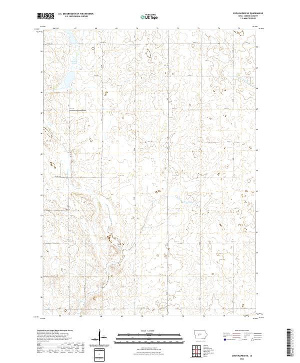
1971 Map of Coon Rapids NE
USGS Topo · Published 1973About this map
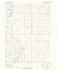
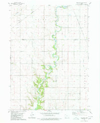
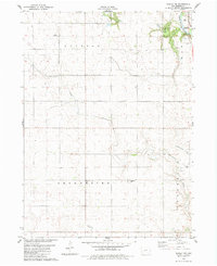
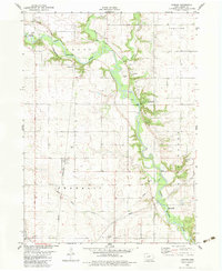
Dunbar Slough State Wildlife Management Area dominates the northwest corner of this 1971 survey, showing the complex water systems of the Iowa prairie. The landscape is a detailed study of mid-century agricultural land management, defined by the organized boundaries of Scranton, Jackson, Willow, and Greenbrier townships. While the land is primarily divided into a grid of section lines and farmsteads, the natural topography remains evident through the presence of Springs and the meandering paths of Willow Creek and Greenbrier Creek.
Find a feature on this map
14 named features on this map. Tap any name to fly to it.
Don’t see what you’re looking for? This feature index may not catch every label — zoom into the map to look around manually.
Map Details
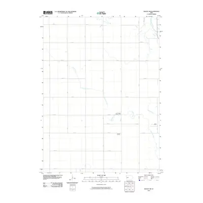
Editions of this 1971 Coon Rapids NE Map
This is the sole edition of this map. No revisions or reprints were ever made.
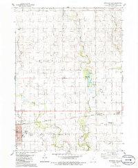
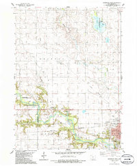
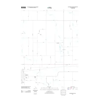
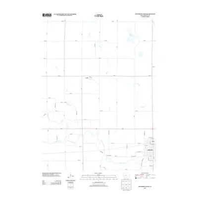
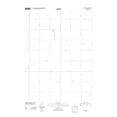
Historical Maps of Willow Township Through Time
42 maps found
1971 Coon Rapids NE
Greene County, IA
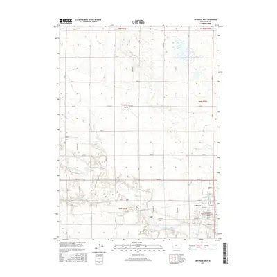
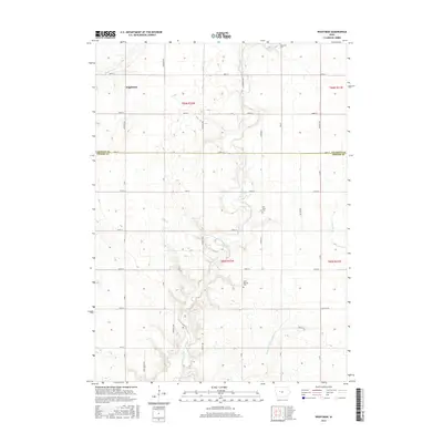
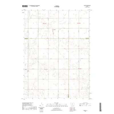
1980 Wightman
Greene County, IA
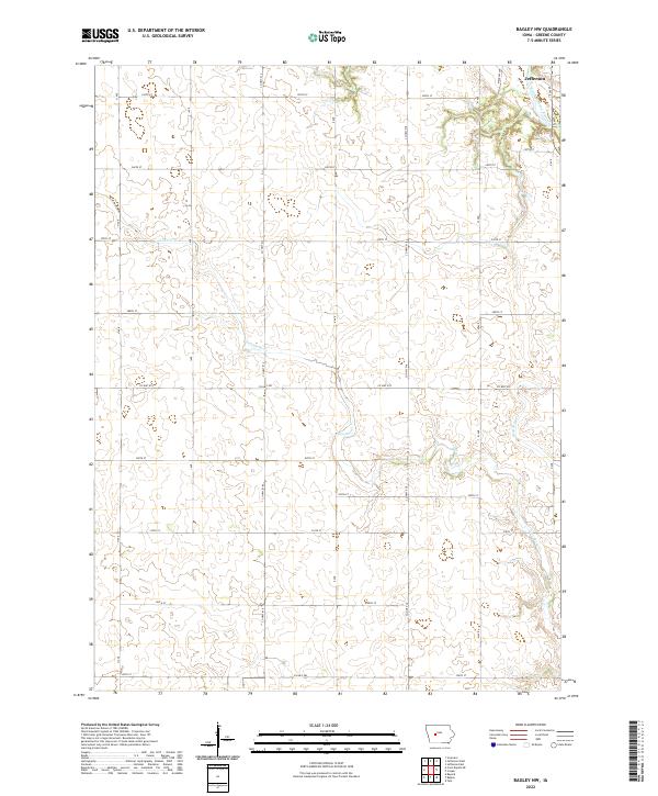
1982 Bagley NW
Greene County, IA
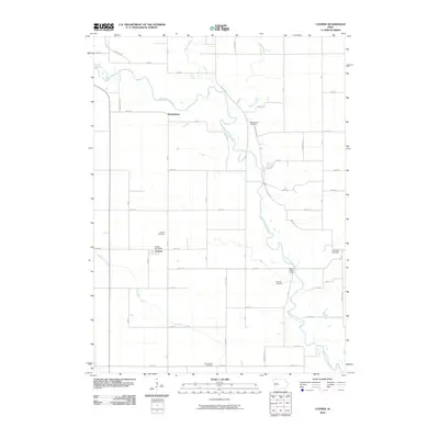
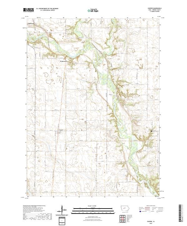
1982 Cooper
Greene County, IA
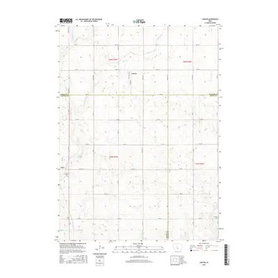
1982 Lanyon
Greene County, IA
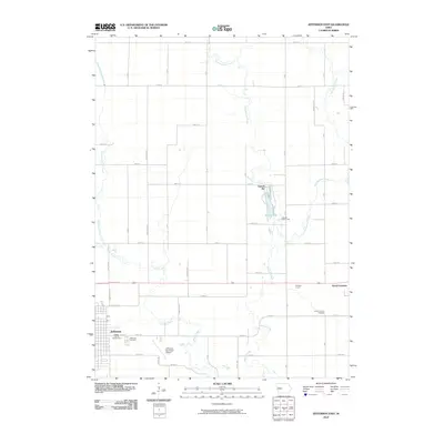
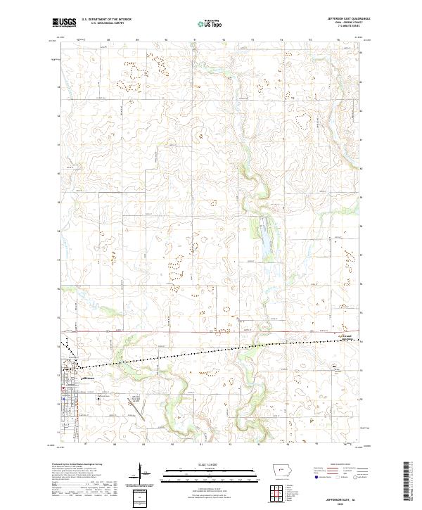
1986 Jefferson East
Greene County, IA
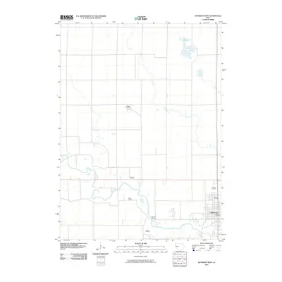
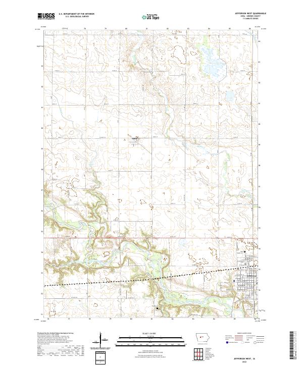
1986 Jefferson West
Greene County, IA
2010 Bagley NW
Greene County, IA
2010 Coon Rapids NE
Greene County, IA
2010 Cooper
Greene County, IA
2010 Jefferson East
Greene County, IA
2010 Jefferson West
Greene County, IA
2010 Lanyon
Greene County, IA
2010 Wightman
Greene County, IA
2013 Bagley NW
Greene County, IA
2013 Coon Rapids NE
Greene County, IA
2013 Cooper
Greene County, IA
2013 Jefferson East
Greene County, IA
2013 Jefferson West
Greene County, IA
2013 Lanyon
Greene County, IA
2013 Wightman
Greene County, IA
2015 Bagley NW
Greene County, IA
2015 Coon Rapids NE
Greene County, IA
2015 Cooper
Greene County, IA
2015 Jefferson East
Greene County, IA
2015 Jefferson West
Greene County, IA
2015 Lanyon
Greene County, IA
2015 Wightman
Greene County, IA
2018 Bagley NW
Greene County, IA
2018 Coon Rapids NE
Greene County, IA
2018 Cooper
Greene County, IA
2018 Jefferson East
Greene County, IA
2018 Jefferson West
Greene County, IA
2018 Lanyon
Greene County, IA
2018 Wightman
Greene County, IA
2022 Bagley NW
Greene County, IA
2022 Coon Rapids NE
Greene County, IA
2022 Cooper
Greene County, IA
2022 Jefferson East
Greene County, IA
2022 Jefferson West
Greene County, IA
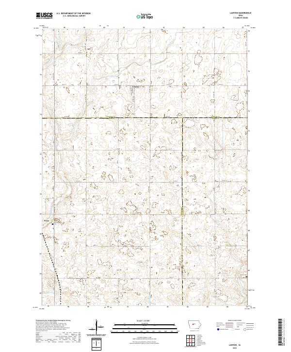
2022 Lanyon
Greene County, IA
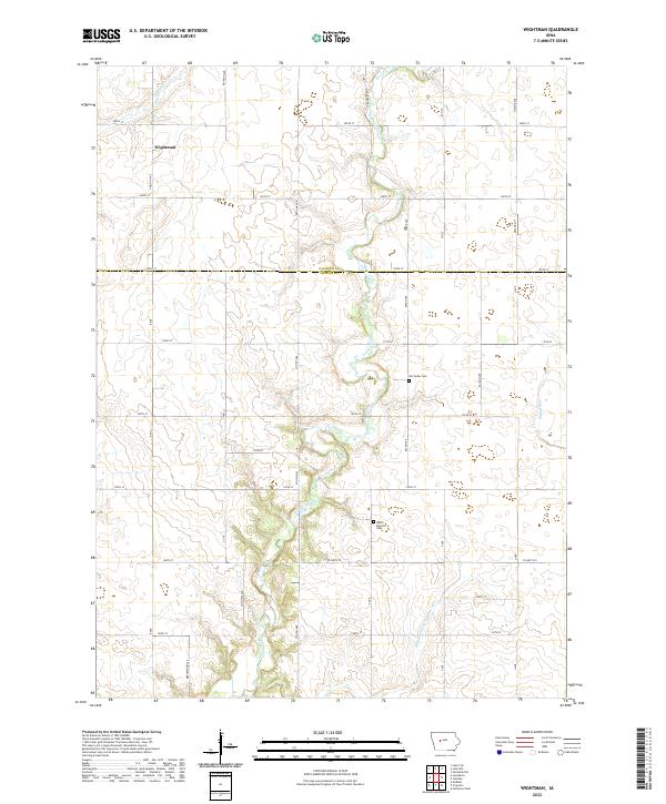
2022 Wightman
Greene County, IA
Featured Locations
- Greene County, IA
- Greenbrier Township, IA
- Jackson Township, IA
- Scranton Township, IA
- Willow Township, IA