
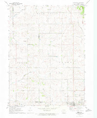
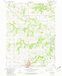
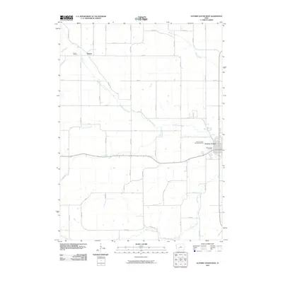
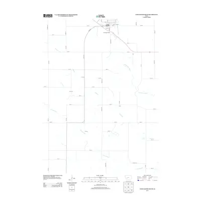
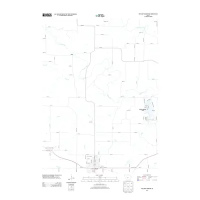
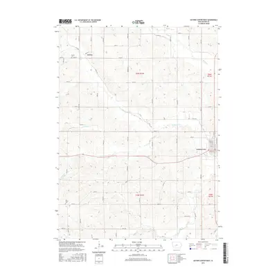
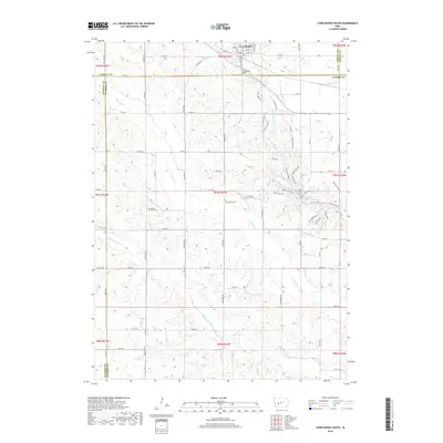
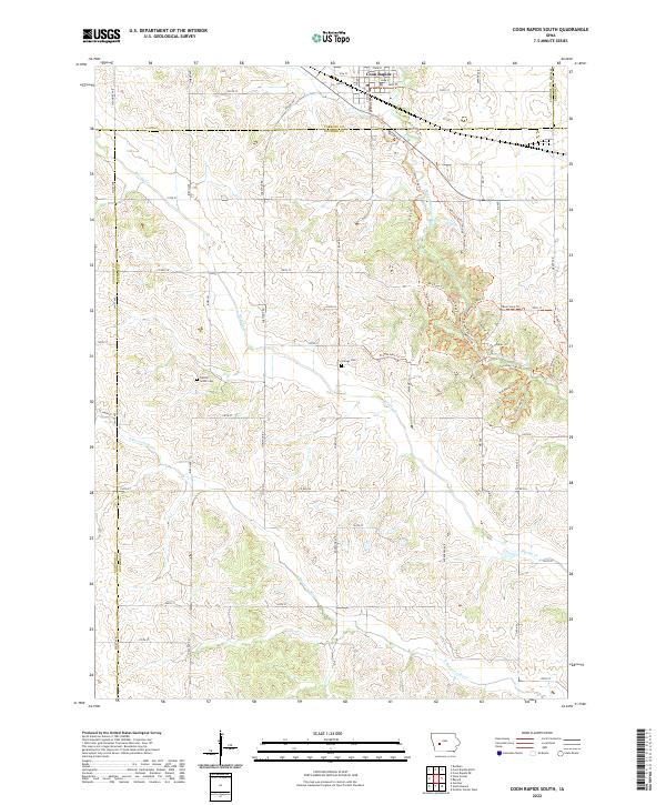
1971 Map of Coon Rapids South
USGS Topo · Published 1973About this map
Coon Rapids serves as the primary hub in this early 1970s survey, where the Chicago Milwaukee St Paul and Pacific railroad tracks bisect the northern town limits. The landscape is defined by the winding paths of the Middle Raccoon River and the South Raccoon River, which are fed by various springs and the elongated course of Brushy Creek. Rural life is marked by local civic and commemorative sites, including the Townhall in Orange township and the Tuttles Grove and Orange cemeteries. Industrial activity is concentrated near the river corridors, indicated by several gravel pits and infrastructure like the Radio Tower and Sewage Disposal plant. The map captures a detailed intersection of four counties — Carroll, Guthrie, Audubon, and Greene — illustrating the complex administrative boundaries of this agricultural region.
Find a feature on this map
29 named features on this map. Tap any name to fly to it.
Don’t see what you’re looking for? This feature index may not catch every label — zoom into the map to look around manually.
Map Details
Editions of this 1971 Coon Rapids South Map
This is the sole edition of this map. No revisions or reprints were ever made.
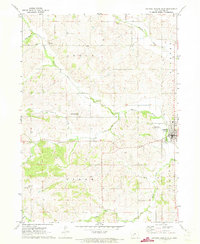
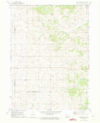
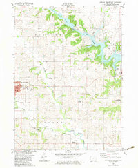
Historical Maps of Coon Rapids Through Time
36 maps found
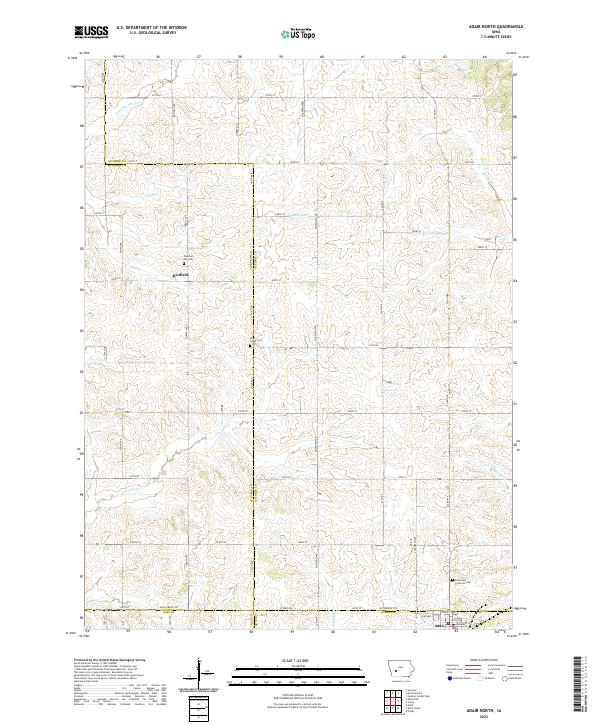
1971 Adair North
Guthrie County, IA
1971 Coon Rapids South
Guthrie County, IA
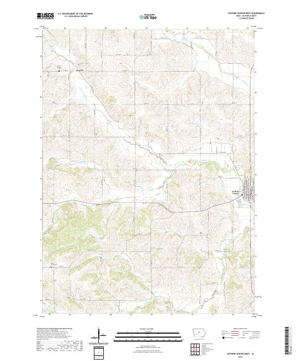
1971 Guthrie Center West
Guthrie County, IA
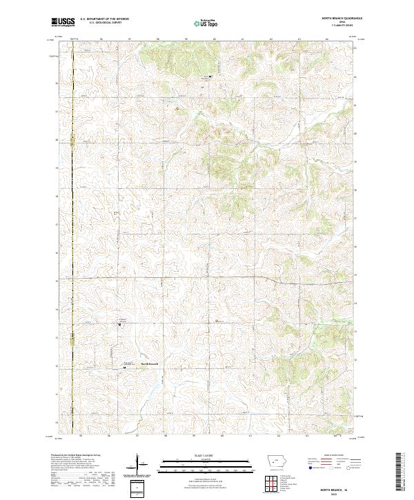
1971 North Branch
Guthrie County, IA
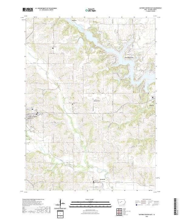
1982 Guthrie Center East
Guthrie County, IA
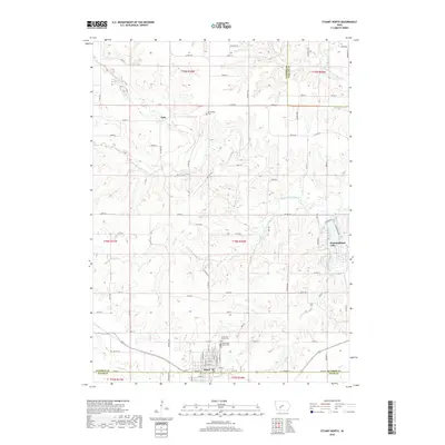
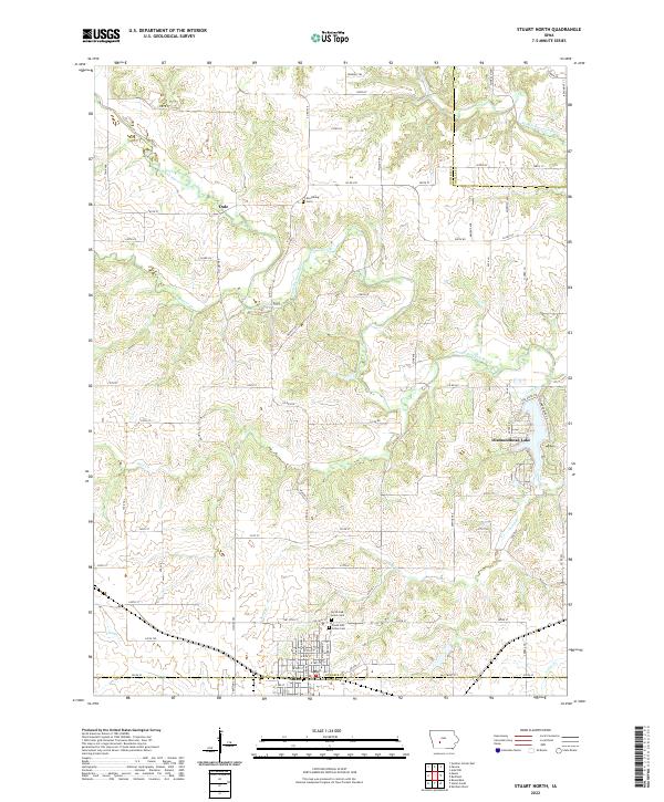
1982 Stuart North
Guthrie County, IA
2010 Adair North
Guthrie County, IA
2010 Coon Rapids South
Guthrie County, IA
2010 Guthrie Center East
Guthrie County, IA
2010 Guthrie Center West
Guthrie County, IA
2010 North Branch
Guthrie County, IA
2010 Stuart North
Guthrie County, IA
2013 Adair North
Guthrie County, IA
2013 Coon Rapids South
Guthrie County, IA
2013 Guthrie Center East
Guthrie County, IA
2013 Guthrie Center West
Guthrie County, IA
2013 North Branch
Guthrie County, IA
2013 Stuart North
Guthrie County, IA
2015 Adair North
Guthrie County, IA
2015 Coon Rapids South
Guthrie County, IA
2015 Guthrie Center East
Guthrie County, IA
2015 Guthrie Center West
Guthrie County, IA
2015 North Branch
Guthrie County, IA
2015 Stuart North
Guthrie County, IA
2018 Adair North
Guthrie County, IA
2018 Coon Rapids South
Guthrie County, IA
2018 Guthrie Center East
Guthrie County, IA
2018 Guthrie Center West
Guthrie County, IA
2018 North Branch
Guthrie County, IA
2018 Stuart North
Guthrie County, IA
2022 Adair North
Guthrie County, IA
2022 Coon Rapids South
Guthrie County, IA
2022 Guthrie Center East
Guthrie County, IA
2022 Guthrie Center West
Guthrie County, IA
2022 North Branch
Guthrie County, IA
2022 Stuart North
Guthrie County, IA