Old Maps of Valley Township, Iowa for Genealogy
Trace your family roots with 30 historic maps of Valley Township. These high-res maps reveal old neighborhoods, homesites, landmarks, and streets — helping you uncover where your ancestors lived and how the area evolved over time.
- Explore historic neighborhoods: Identify where your relatives may have lived in the 1800s or 1900s.
- Compare maps over time: Trace the changes in streets, buildings, and landmarks for multi-generational research.
- Perfect for genealogy & ancestry research: Used by family historians and researchers to map out lineage and migration.
These maps are an incredible resource for exploring your personal connection to Valley Township's past.
Valley Township, IA maps
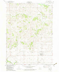
(30)- 1952 Map of Panora, 1954 Print
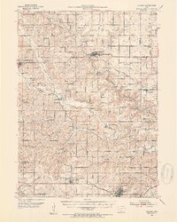 1952 Panora1954 Print · USGSGuthrie County and parts of Adair and Dallas counties are shown here in the early 1950s as a thriving rail and river corridor. Genealogists can trace family roots through several rural churches and schools like Victory Union Church, Pioneer Sch, and Rosehill Cem.2 unique versions available
 - 1954 Map of Omaha, 1967 Print
 1954 Omaha1967 Print · USGSMid-century development radiates from the river bluffs into the agricultural heartland during this period of post-war growth. Genealogists and historians can trace rail-connected towns like Atlantic and Red Oak or locate the sprawling grounds of Offutt Air Force Base and Manawa Lake.3 unique versions available
 - 1957 Map of Omaha
 1957 Omaha1957 Print · USGSWestern Iowa and the Missouri River valley are seen here in the mid-fifties during the height of the rail-and-road era. Researchers can trace the sprawling rail lines of the Chicago And North Western or locate Cold War landmarks like Offutt Air Force Base.
 - 1958 Map of Omaha
 1958 Omaha1958 Print · USGSOmaha and Council Bluffs stand at the center of this mid-fifties landscape, where the Missouri River splits the urban plains of Nebraska from the rolling hills of western Iowa. Genealogists can trace the rail lines of the Wabash RR and Illinois Central RR to rural settlements like Missouri Valley and Red Oak.2 unique versions available
 - 1971 Map of Casey, 1973 Print
 1971 Casey1973 Print · USGSThe town of Casey and the surrounding Guthrie County farmland are shown here in the early seventies, caught between the river valleys and the rails. Genealogists and local historians can trace the Rock Island Railroad and find the Dalmanutha Cemetery.
 - 1971 Map of Guthrie Center West, 1973 Print
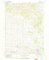
 1971 Guthrie Center West1973 Print · USGSGuthrie County’s agricultural landscape is captured here in the early seventies, showing the western outskirts of the county seat. Genealogists and local historians can locate Wichita Cem, the rural Townhall, and the layout of Guthrie Center near the Fairground.
 - 1982 Map of Guthrie Center East, 1983 Print
 1982 Guthrie Center East1983 Print · USGSGuthrie County’s agricultural and river landscape is captured here in the early eighties as rail lines were being replaced by new landmarks. Local historians can trace old property and civic roots at Victory Union Cem, the Old Railroad Grade near Monteith, and Lake Panorama.
 - 1982 Map of Menlo, 1983 Print
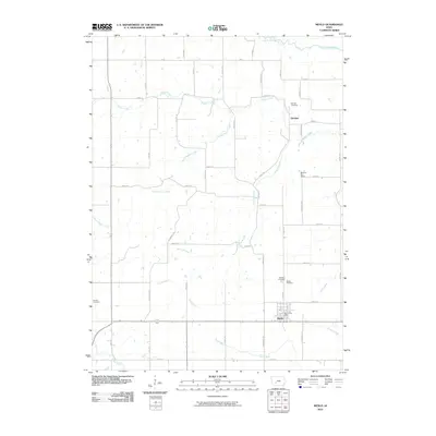
 1982 Menlo1983 Print · USGSGuthrie and Adair counties appear in the early eighties as a landscape of established rail lines and agricultural watersheds. Genealogists and historians can trace the Iowa Railroad through Menlo, locate Rosehill Cem, and follow the Old Railroad Grade near Glendon.
 - 1984 Map of Guthrie Center, 1985 Print
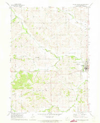
 1984 Guthrie Center1985 Print · USGSWest-central Iowa's river valleys and farming townships are shown here in the mid-1980s, highlighting a network of conservation areas and historic rail towns. Genealogists and local historians can locate Violet Hill Cem, trace the Chicago and North Western railroad, or explore the grounds of Springbrook State Park.
 - 1993 Map of Guthrie Center
 1993 Guthrie Center1993 Print · USGSWestern Iowa in the early 1990s showcases a network of river-valley towns and essential rail corridors. Researchers can trace local landmarks like Violet Hill Cem and the Chicago and North Western RR through Coon Rapids and Panora.
 - 2010 Map of Guthrie Center West, 2010 Print
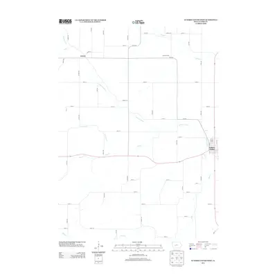
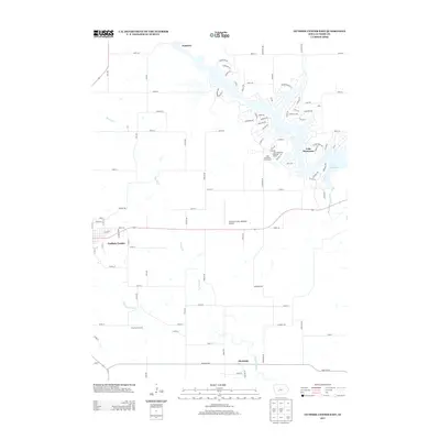
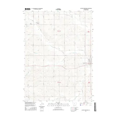
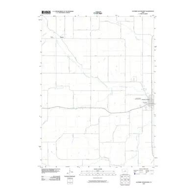 2010 Guthrie Center West2010 Print · USGSCovers Valley Township, including Guthrie Center, Victory Township, and other nearby areas
 - 2010 Map of Guthrie Center East, 2010 Print
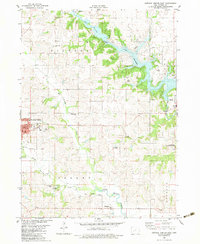
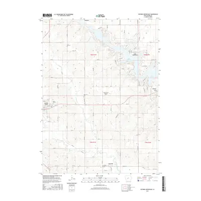
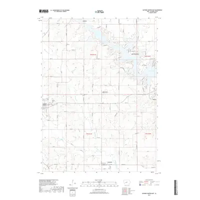
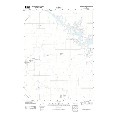 2010 Guthrie Center East2010 Print · USGSCovers Valley Township, including Guthrie Center, Panora, and other nearby areas
 - 2010 Map of Casey, 2010 Print
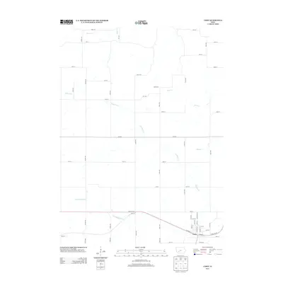
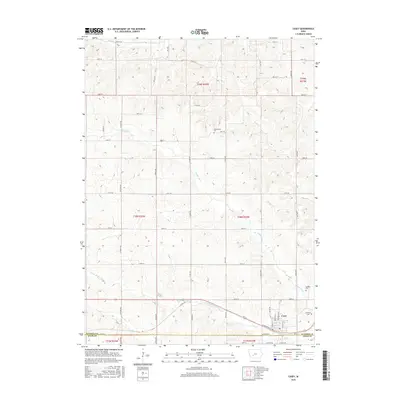
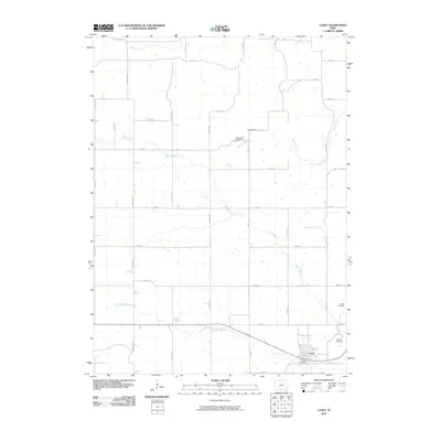 2010 Casey2010 Print · USGSCovers Valley Township, including Casey, Grant Township, and other nearby areas
 - 2010 Map of Menlo, 2010 Print
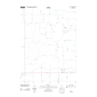
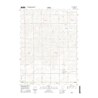
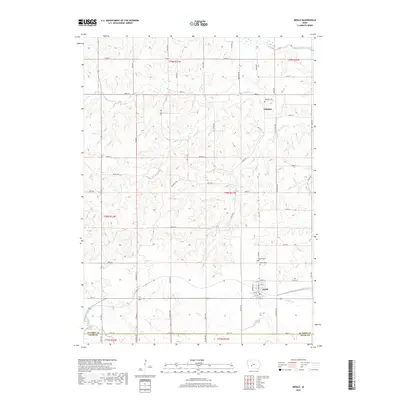
 2010 Menlo2010 Print · USGSCovers Valley Township, including Menlo, Glendon, and other nearby areas
 - 2013 Map of Casey, 2013 Print
 2013 Casey2013 Print · USGSCovers Valley Township, including Casey, Grant Township, and other nearby areas
 - 2013 Map of Menlo, 2013 Print
 2013 Menlo2013 Print · USGSCovers Valley Township, including Menlo, Glendon, and other nearby areas
 - 2013 Map of Guthrie Center West, 2013 Print
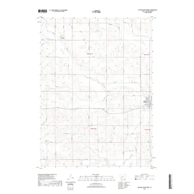
 2013 Guthrie Center West2013 Print · USGSCovers Valley Township, including Guthrie Center, Victory Township, and other nearby areas
 - 2013 Map of Guthrie Center East, 2013 Print
 2013 Guthrie Center East2013 Print · USGSCovers Valley Township, including Guthrie Center, Panora, and other nearby areas
 - 2015 Map of Guthrie Center East, 2015 Print
 2015 Guthrie Center East2015 Print · USGSCovers Valley Township, including Guthrie Center, Panora, and other nearby areas
 - 2015 Map of Casey, 2015 Print
 2015 Casey2015 Print · USGSCovers Valley Township, including Casey, Grant Township, and other nearby areas
 - 2015 Map of Menlo, 2015 Print
 2015 Menlo2015 Print · USGSCovers Valley Township, including Menlo, Glendon, and other nearby areas
 - 2015 Map of Guthrie Center West, 2015 Print
 2015 Guthrie Center West2015 Print · USGSCovers Valley Township, including Guthrie Center, Victory Township, and other nearby areas
 - 2018 Map of Guthrie Center East, 2018 Print
 2018 Guthrie Center East2018 Print · USGSCovers Valley Township, including Guthrie Center, Panora, and other nearby areas
 - 2018 Map of Menlo, 2018 Print
 2018 Menlo2018 Print · USGSCovers Valley Township, including Menlo, Glendon, and other nearby areas
 - 2018 Map of Guthrie Center West, 2018 Print
 2018 Guthrie Center West2018 Print · USGSCovers Valley Township, including Guthrie Center, Victory Township, and other nearby areas
Showing maps 1-25 of 30
Top cities near Valley Township
- Stuart historical maps
- Guthrie Center historical maps
- Coon Rapids historical maps
- Panora historical maps
- Adair historical maps
- Dexter historical maps
See more
Top neighborhoods of Valley Township
Frequently asked questions
- What are the different types of historical maps available for Valley Township?
- What is the oldest map of Valley Township?
- Where can I purchase historical maps of Valley Township for my home or office?
- Where can I download high-res historical maps of Valley Township?
- Are there historical topographic maps available for Valley Township?
- Is there historical aerial imagery available for Valley Township?
- Where are historical maps of Valley Township sourced from?