Old Maps of Fremont Township, Iowa for Metal Detecting
Plan your next treasure hunt with 29 historic maps of Fremont Township. Find old homesites, ghost towns, trails, and gathering spots that may be lost to time — perfect for identifying promising metal detecting locations.
- Locate forgotten sites: Uncover places like long-lost settlements, abandoned rail lines, or gathering spots.
- Plan better hunts: Use map overlays combined with LiDAR or satellite views to narrow in on historically rich areas.
- Made for detectorists: Thousands of hobbyists use these maps to discover relics, coins, and hidden history.
Use these historic maps to boost your research and find new opportunities beneath the surface of Fremont Township.
Fremont Township, IA maps
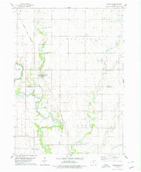
(29)- 1954 Map of Waterloo, 1968 Print
 1954 Waterloo1968 Print · USGSCentral Iowa at the height of its mid-century agricultural and rail boom features the growing hubs of Waterloo and Cedar Falls. Genealogists and researchers can trace the rail corridors of the Chicago Great Western and find local landmarks like Iowa State College and Brushy Ridge.4 unique versions available
 - 1955 Map of Waterloo
 1955 Waterloo1955 Print · USGSCentral Iowa in the mid-fifties presents a dense landscape of rail-connected farming towns and growing river cities. Researchers can trace ancestral roots and old transport routes through Waterloo, Marshalltown, and Ames, while locating rural Cemeteries and local Quarries.2 unique versions available
 - 1978 Map of Woolstock, 1979 Print
 1978 Woolstock1979 Print · USGSWoolstock and the surrounding farm country of Wright and Hamilton Counties are captured here in the late seventies. Researchers can trace the Chicago and North Western rail line and locate rural landmarks like French Ch Cem and the Flowing Well.
 - 1978 Map of Eagle Grove SW, 1979 Print
 1978 Eagle Grove SW1979 Print · USGSThe rural borders of Webster, Wright, and Hamilton counties are captured here in the late 1970s, showing a landscape defined by industrial agriculture and the Boone River. Genealogists and researchers can locate family sites near Troy Cem or trace the path of the Chicago and North Western railroad.
 - 1978 Map of Webster City, 1979 Print
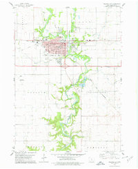 1978 Webster City1979 Print · USGSWebster City is captured here during the late seventies, showing the vital intersection of the Boone River and two major rail lines. Genealogists and local historians can locate family plots in Graceland Cem or trace neighborhood growth near Lawn Hill Sch and the Fairground.
 - 1978 Map of Duncombe, 1979 Print
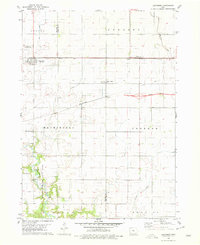 1978 Duncombe1979 Print · USGSIowa's agricultural heartland is documented here in the late seventies, showing the rail-dependent growth of Webster County. Genealogists and local researchers can locate St Josephs Cem and Blanchard Cem or trace the early paths of the Illinois Central Gulf through Duncombe.
 - 1984 Map of Iowa Falls, 1985 Print
 1984 Iowa Falls1985 Print · USGSNorth-central Iowa is documented here during the mid-eighties, showing a landscape of traditional rail towns and extensive wildlife management areas. Researchers can trace family history through settlements like Belmond, Dows, and Ackley, or locate landmarks like Beeds Lake State Park.2 unique versions available
 - 1985 Map of Ames
 1985 Ames1985 Print · USGSCentral Iowa's prairie landscape in the mid-eighties shows a well-established network of rail towns and conservation areas. Genealogists and historians can trace the paths of the Lincoln Highway and the Chicago and North Western line connecting Ames, Boone, and Webster City.
 - 1993 Map of Ames
 1993 Ames1993 Print · USGSCentral Iowa in the early nineties shows a landscape of river-fed parklands and growing academic centers. Genealogists and researchers can trace local church sites like Sts Peter and Paul Ch or navigate the corridors of the Chicago and North Western through towns like Hubbard and Stanhope.
 - 2010 Map of Duncombe, 2010 Print
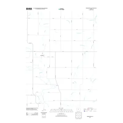
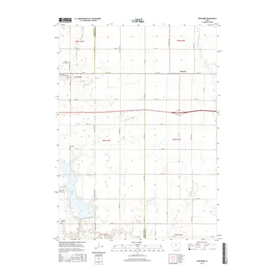
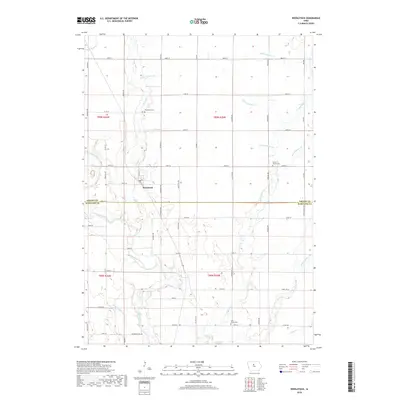
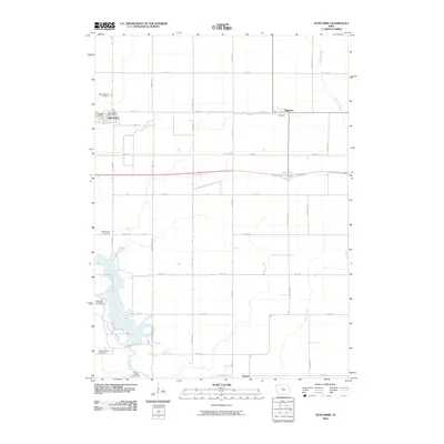 2010 Duncombe2010 Print · USGSCovers Fremont Township, including Duncombe, Webster Township, and other nearby areas
 - 2010 Map of Woolstock, 2010 Print
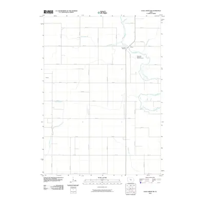
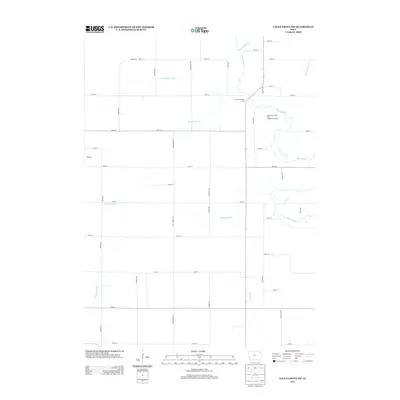
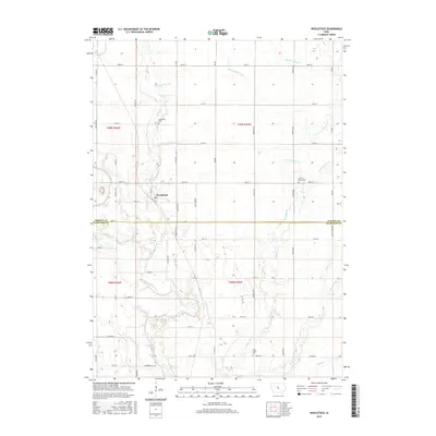
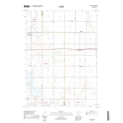
 2010 Woolstock2010 Print · USGSCovers Fremont Township, including Woolstock, Cass Township, and other nearby areas
 - 2010 Map of Eagle Grove SW, 2010 Print
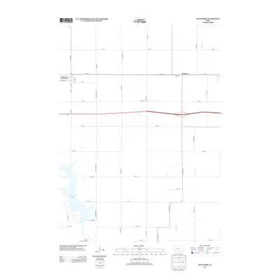
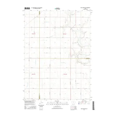
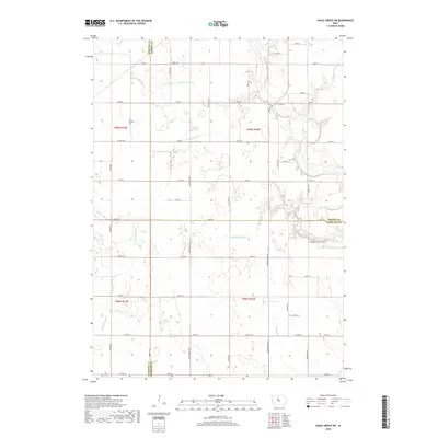
 2010 Eagle Grove SW2010 Print · USGSCovers Fremont Township, including Colfax Township, Newark Township, and other nearby areas
 - 2010 Map of Webster City, 2010 Print
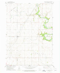
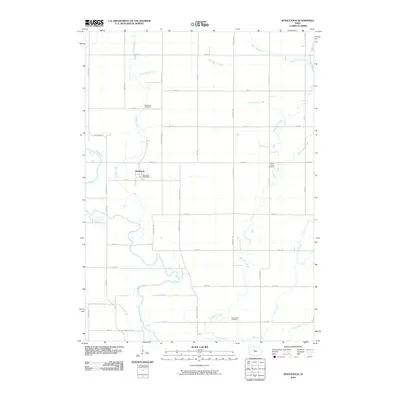
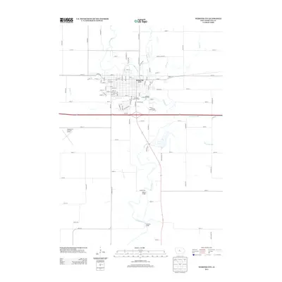
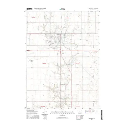
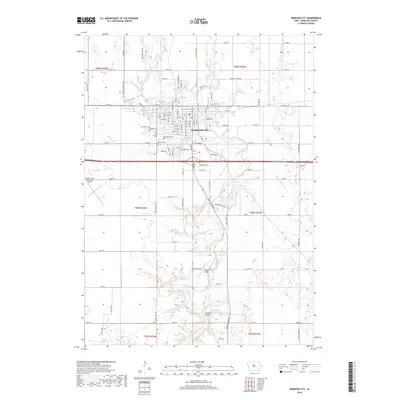
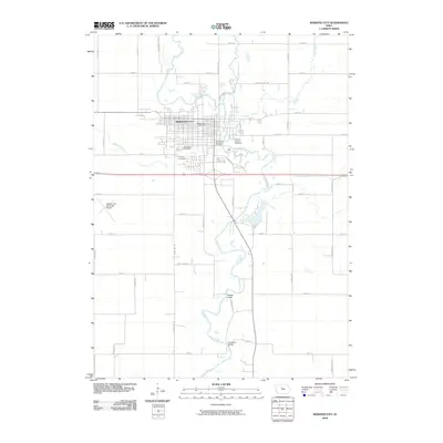 2010 Webster City2010 Print · USGSCovers Fremont Township, including Webster City, Webster Township, and other nearby areas
 - 2013 Map of Webster City, 2013 Print
 2013 Webster City2013 Print · USGSCovers Fremont Township, including Webster City, Webster Township, and other nearby areas
 - 2013 Map of Woolstock, 2013 Print
 2013 Woolstock2013 Print · USGSCovers Fremont Township, including Woolstock, Cass Township, and other nearby areas
 - 2013 Map of Eagle Grove SW, 2013 Print
 2013 Eagle Grove SW2013 Print · USGSCovers Fremont Township, including Colfax Township, Newark Township, and other nearby areas
 - 2013 Map of Duncombe, 2013 Print
 2013 Duncombe2013 Print · USGSCovers Fremont Township, including Duncombe, Webster Township, and other nearby areas
 - 2015 Map of Duncombe, 2015 Print
 2015 Duncombe2015 Print · USGSCovers Fremont Township, including Duncombe, Webster Township, and other nearby areas
 - 2015 Map of Woolstock, 2015 Print
 2015 Woolstock2015 Print · USGSCovers Fremont Township, including Woolstock, Cass Township, and other nearby areas
 - 2015 Map of Webster City, 2015 Print
 2015 Webster City2015 Print · USGSCovers Fremont Township, including Webster City, Webster Township, and other nearby areas
 - 2015 Map of Eagle Grove SW, 2015 Print
 2015 Eagle Grove SW2015 Print · USGSCovers Fremont Township, including Colfax Township, Newark Township, and other nearby areas
 - 2018 Map of Duncombe, 2018 Print
 2018 Duncombe2018 Print · USGSCovers Fremont Township, including Duncombe, Webster Township, and other nearby areas
 - 2018 Map of Woolstock, 2018 Print
 2018 Woolstock2018 Print · USGSCovers Fremont Township, including Woolstock, Cass Township, and other nearby areas
 - 2018 Map of Webster City, 2018 Print
 2018 Webster City2018 Print · USGSCovers Fremont Township, including Webster City, Webster Township, and other nearby areas
 - 2018 Map of Eagle Grove SW, 2018 Print
 2018 Eagle Grove SW2018 Print · USGSCovers Fremont Township, including Colfax Township, Newark Township, and other nearby areas
Showing maps 1-25 of 29
Top cities near Fremont Township
- Fort Dodge historical maps
- Webster City historical maps
- Eagle Grove historical maps
- Clarion historical maps
- Coalville historical maps
- Goldfield historical maps
See more
Top neighborhoods of Fremont Township
Frequently asked questions
- What are the different types of historical maps available for Fremont Township?
- What is the oldest map of Fremont Township?
- Where can I purchase historical maps of Fremont Township for my home or office?
- Where can I download high-res historical maps of Fremont Township?
- Are there historical topographic maps available for Fremont Township?
- Is there historical aerial imagery available for Fremont Township?
- Where are historical maps of Fremont Township sourced from?